Undoubtedly, two of the most exciting mountian passes reached for me. Also, two of the most crowded, in a lovely frame for cycling and mountain lovers.
Tagged special cathegory by Le Tour du France, Col d'Aubisque in one of the hardest in this competition... similiar to others like the Col du Tourmalet, Col d'Aubisque is even harder at some slopes.
LOCATION
Hautes-Pyrénées/Pyrénées-Atlantiques.

STARTING POINT
Arras-en-Lavedan (France).
Find it in GOOGLE MAPS.
CARTOGRAPHY
Pyrénées Carte nº 3 Béarn 1:50.000. Rando Édition. Institut Géographique National.
MAP

MAP

MAPA DE WIKILOC
SUMMARY
ACTIVITY: Cycling.
UNEVENNES: 1.500 m/4,922 ft (+/-)
TOTAL DISTANCE: 53 km.
TOTAL TIME: 05:00 hours (including 01:00 hours standstills).
DIFICULTY: Middle.
All way long on pavement.
Keep in mind that the total lenght, the unevenness and the traffic might make it harder.
WATER SOURCES: You might be able to buy some water during the tour.
TRACK LOG GPS
Click on:
- SPORTS TRACKER 20190828 COL DU SOULOR - COL D'AUBISQUE
- STRAVA 20190828 COL DU SOULOR - COL D'AUBISQUE
- WIKILOC 20190828 COL DU SOULOR - COL D'AUBISQUE
CYCLING
I'm back to Val d'Aran after few days spent in Madrid... back to Pyrenees, I'm making the most of this summer to practice cycling and hiking in this lovely ranges of mountains.
Day 23th of July, 2019, at the Col d'Aspin (1.489 m).

Day 31st of July, 2019, at the Col des Ares (797 m).

Day 2nd of August, 2019, at the Summit of Ballibierna (3.067 m).

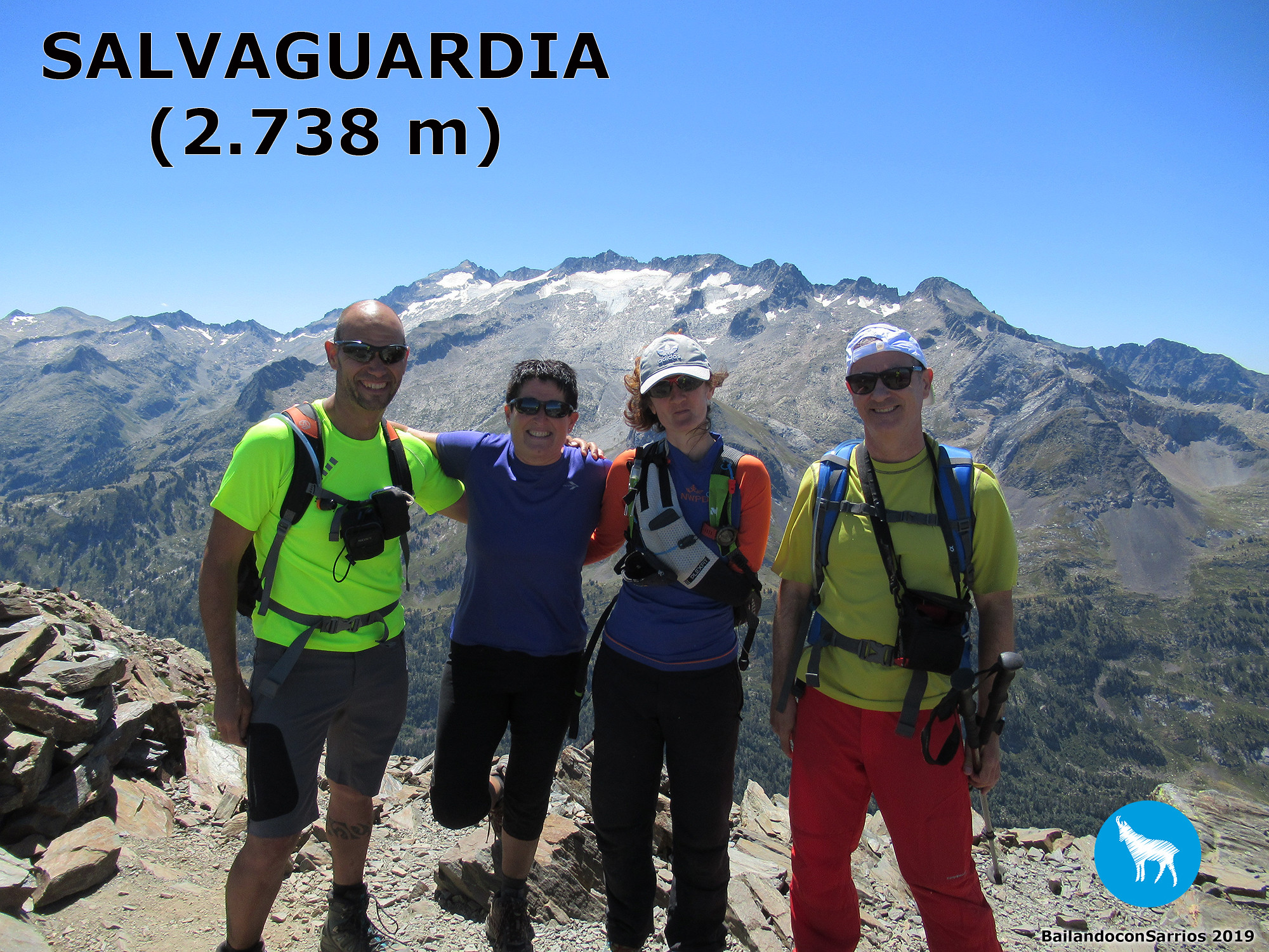
Day 9th of August, 2019, at the Summit of Salvaguardia (2.738 m).
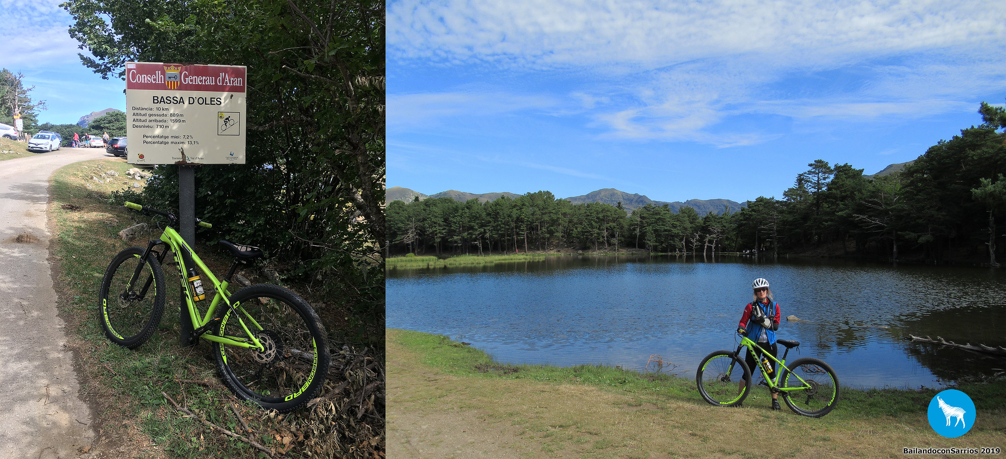
Day 14th of August, 2019, at the Bassa d'Oles (1.599 m).
Day 16th of August, 2019, at the Summit of TUC DE MAUBÈRME (2.881 m).

Day 21st of August, 2019, at the Guardader d'Arres (1.320 m).

Day 26th of August, 2019, at the Artigue (1.224 m).

Last year around we spent the day visiting this place, after climbing the PICO MUSALES.
Day 27th of August, 2018, en el Col d'Aubisque (1.709 m).

It's been a hard way for me since then, considering that I might never be able to ride again, but now I think I can do it by bike... ^_^
I travelled to Valle de Tena, hosted in VILLA DE SALLENT... at the hotel I met a group of cyclers and mountaineers very special, among them I met CLOTILDE UREÑA, with whom I spent few hours chatting... great pleasure to meet you, buddies!!!
During the night, I look into the information available for my undertake the climbing; I make up my mind and I choose to try the easiest route, from Argelès-Gazost (France) and passing through the Col du Soulor.
It's wednesday 28th of August, I decide to have a good breakfast and get a move on. It's an hour by car to get to the starting point.
PEYREGET and Midi d'Ossau near of Col du Pourtalet.

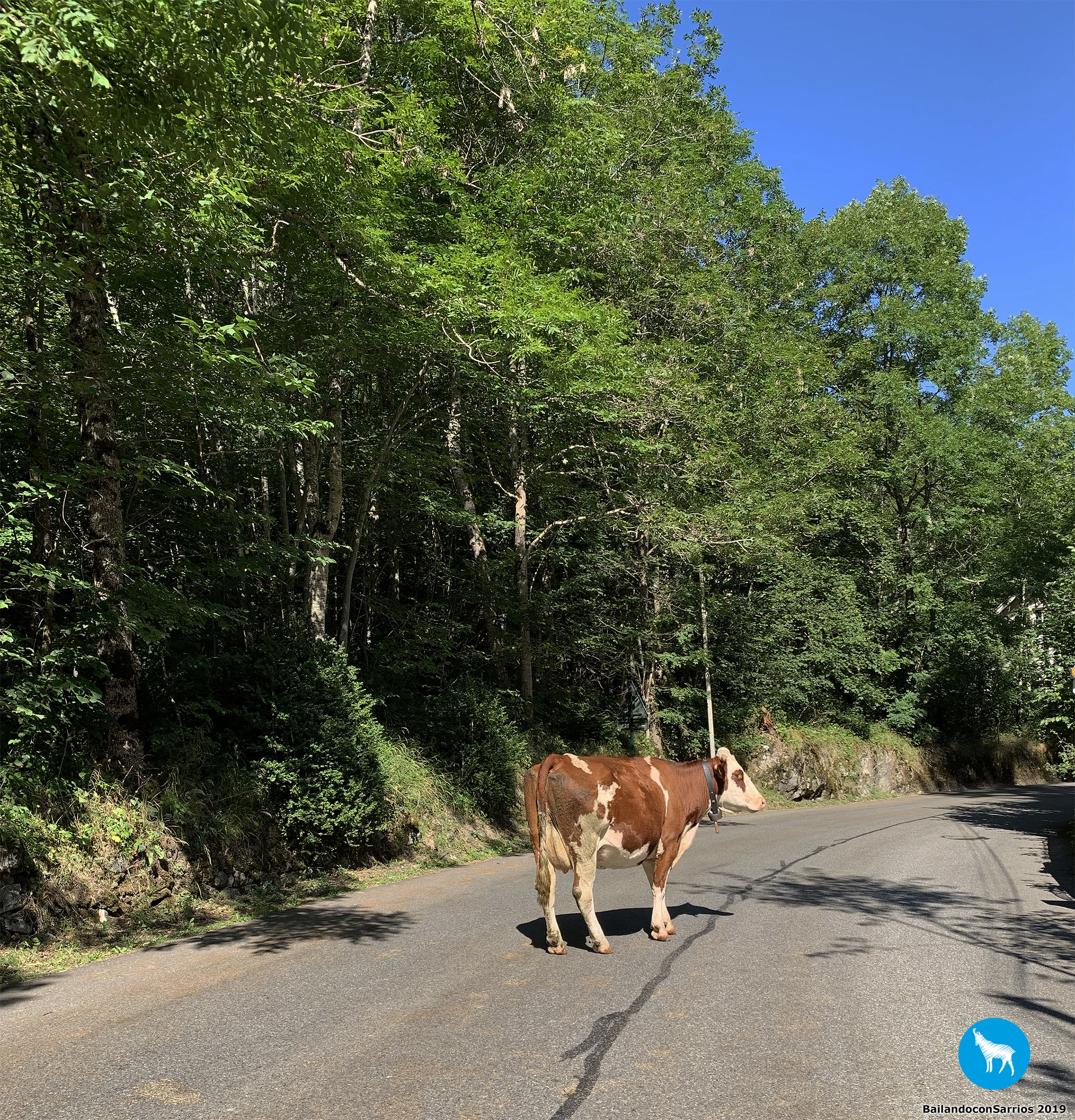
Loving cows.
Laruns is at the beggining of the "hard route" to Col d'Aubisque. I'll have to pass it through and drive to the eastern slopes.
By the time I left behind the Col du Soulor, I think it over and decide to park around 15 km from the pass. This seems a fine place to start and feels comfortable to warm-up, near Arras-en-Lavedan (France).
The starting point...

... I'm riding on the road D-918 to Col du Soulor and Col d'Aubisque.

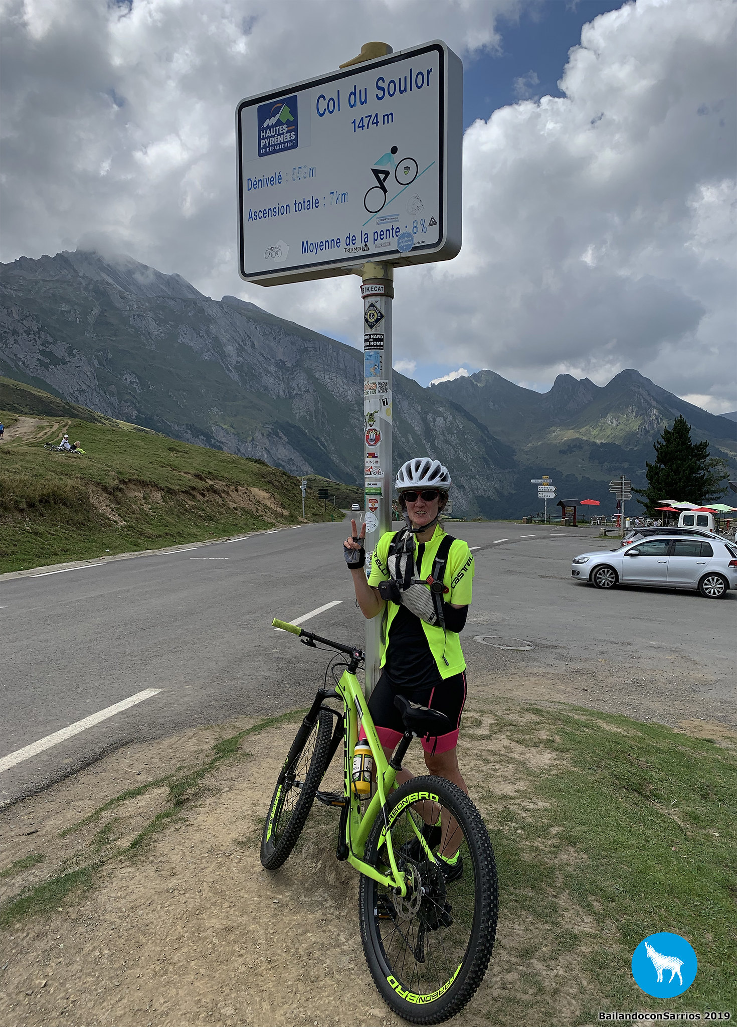
A briefing on Col du Soulor (1.474 m - 4,836 ft):
- Starting height: 650 m
- Top height: 1.474 m
- Distance to top: 16 km
- Unenvenness: 824 metros
- Average slope: 5%
This climb is rated as "First category" by 'Tour de France'.
Profile of Col Soulor (www.altimetrias.net).

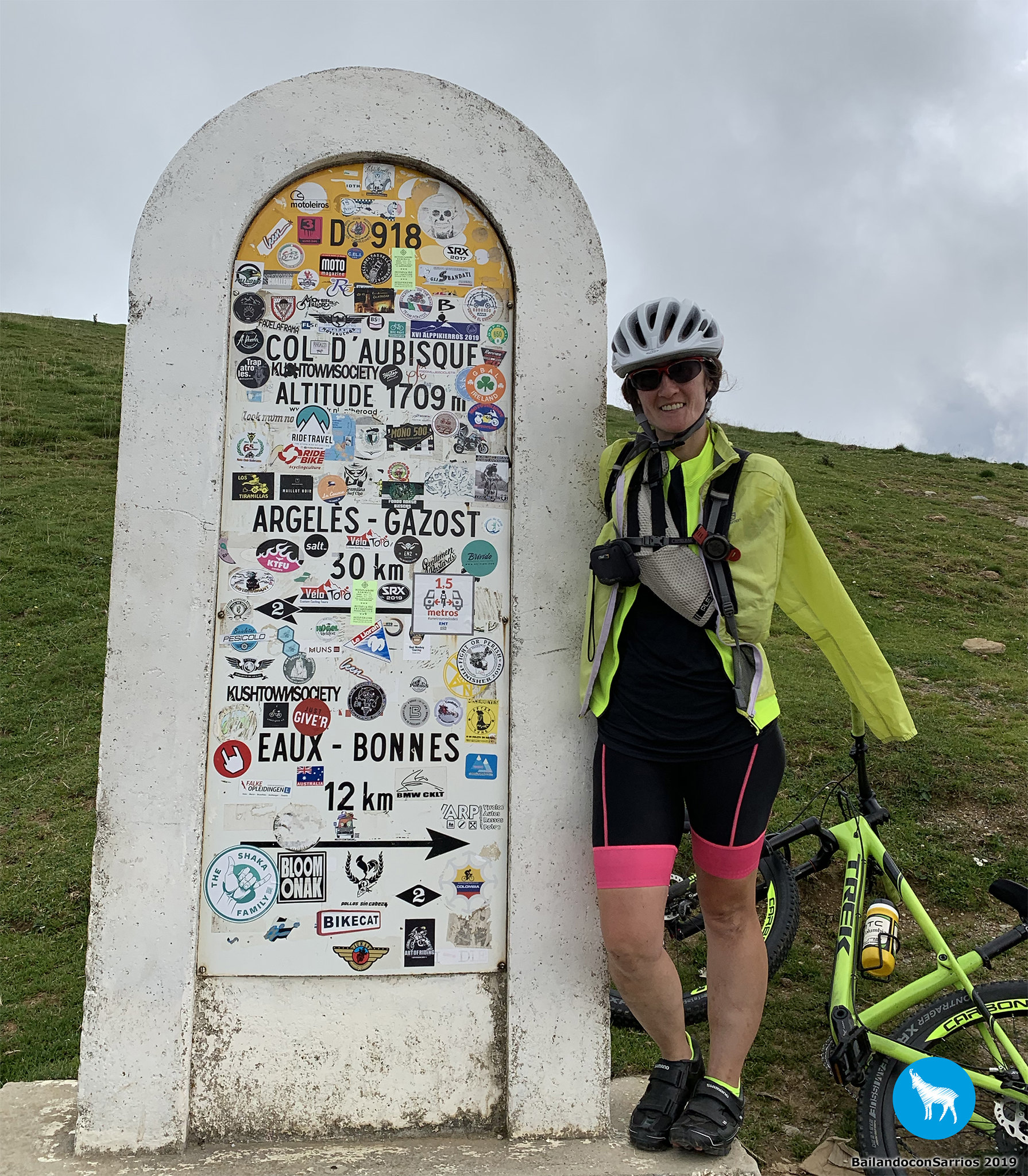
A briefing on Col d'Aubisque (1.709 m - 5,607 ft):
- Starting height: 650 m
- Top height: 1.709 m
- Distance to top: 26 km
- Unevenness: 1.059 m
- Average slope: 4%
This climb is rated as "First category" by 'Tour de France'.
Profile of Col Soulor and Col d'Aubisque.

The climb feels comfortable up to Arrens-Marsous (France), wherein the true Col du Soulor starts, with slopes by 7-8%. Having good feelings when chasing a couple riders using regular bykes.
Mostly eager, the road ramps up to 17% (!!!)... at this point, I almost fall down, time to I try to make it throug, until reached this sign post with 2 km remaining to the first top.
Time to have some water and a little rest.

Back to work, it's just 2 km to get to Col du Soulor. The last km is crowded until the very top.
My TREK in the highest point!!!

Reaching the Col du Soulor (1.474 m - 4,836 ft)...

... different perspective.
This place is crowded.

Spectacular mountains...

... in all directions.

Information point.

Col du Soulor (1.474 m - 4,836 ft).

Find attached a patch of www.bailandoconsarrios.com.

Col du Soulor (1.474 m - 4,836 ft).

See you soon.

Most riders here are obviously heading to Col du Aubisque, cause this is a pit stop.
From here the road appears hanging off steep slopes. There are many tunnels, cause this road has been excavated through rocks to connect Col du Soulor and Col d'Aubisque.
Beautiful sight...

... looking backwards.

From this point remains 7 km to the the Col d'Aubisque... the route is perfect for sightseeing. The final slopes gets to 6-7%, which is hard to get through.
Here I'm posing with my TREK at the Col d'Aubisque (1.709 m - 5,607 ft)...

... and also myself.

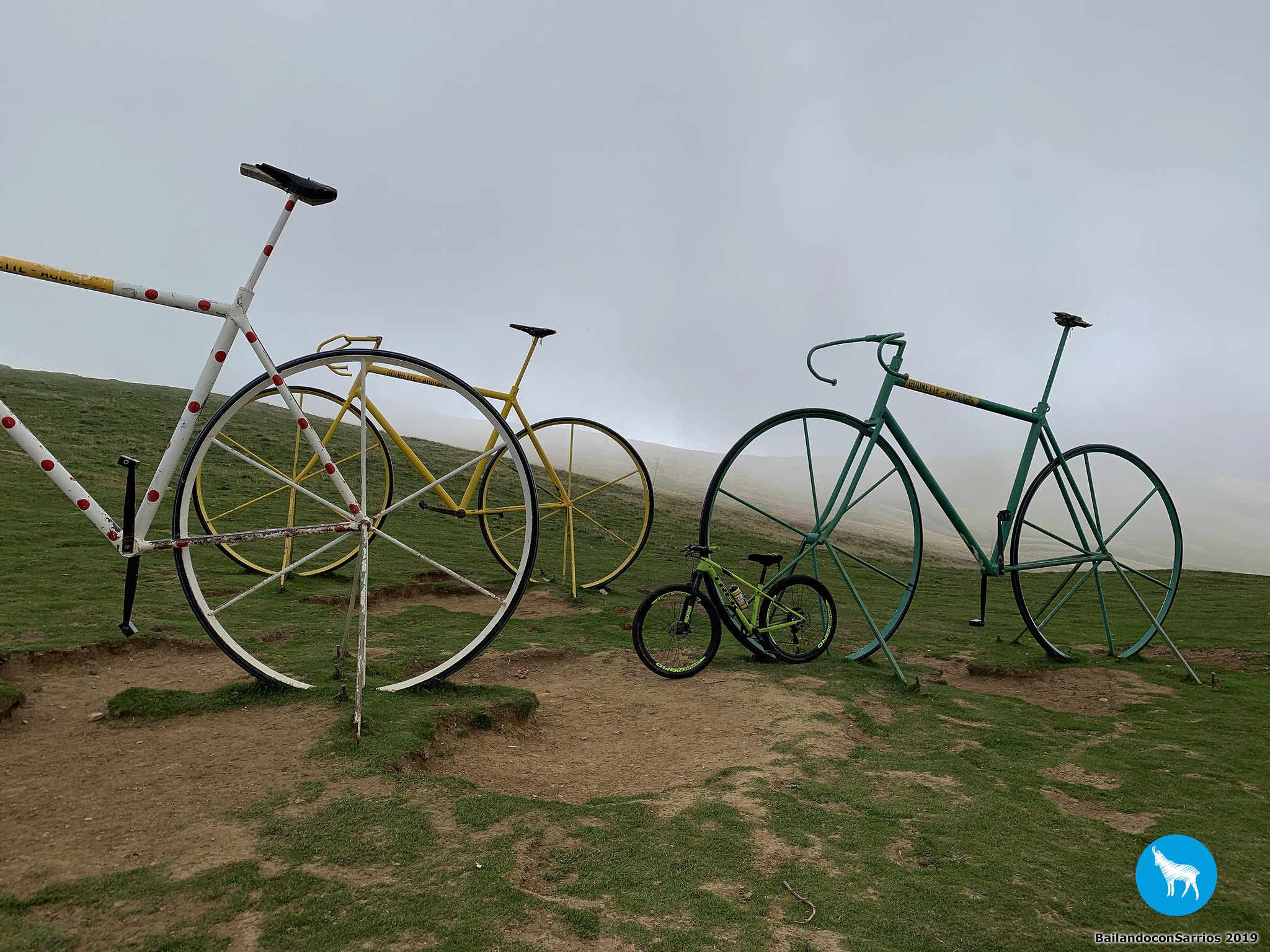
Such a singular monument to the cycling sport.

Few ones also delighting the arrival.

Col d'Aubisque (1.709 m - 5,607 ft).

An original milestone...

... also with me and with my ride.
May you find our patch of www.bailandoconsarrios.com stamped a year ago.

Seems stormy.

A tribute to André Bach.

Up here everythig smells to cycling...
... just a couple more pictures.

Better get a move on, as some raindrops start to fall.
The descent goes by with wet pavement, motorbikes and traffic back to the tunnels. A couple (2) km of climb to get back to Col du Soulor.
Col du Soulor (1.474 m - 4,836 ft).

Another patch over here, from www.bailandoconsarrios.com.

This space is for everyone enjoying.

It'll be rainy all day long.

A nutritional bar and some water before getting back to work.
Better be careful with the steep slopes, up to 17%, but not much long, until Arrens-Marsous (France). From this point the route is much enjoyable. Soon I'm getting to Arras-en-Lavedan (France), back to my car.
One last picture.
After all what I've been through, this is a great award for me... ^_^
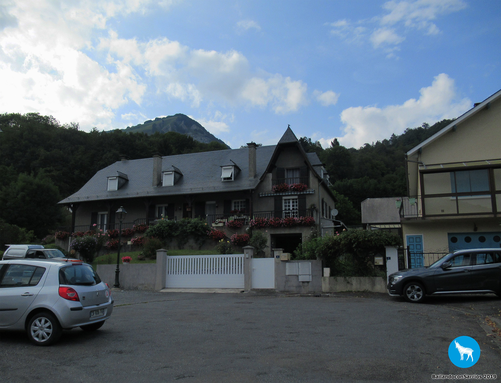
One last picture at sunset.

Anytime you visit this backcountry, be advised you may find cattle all around.

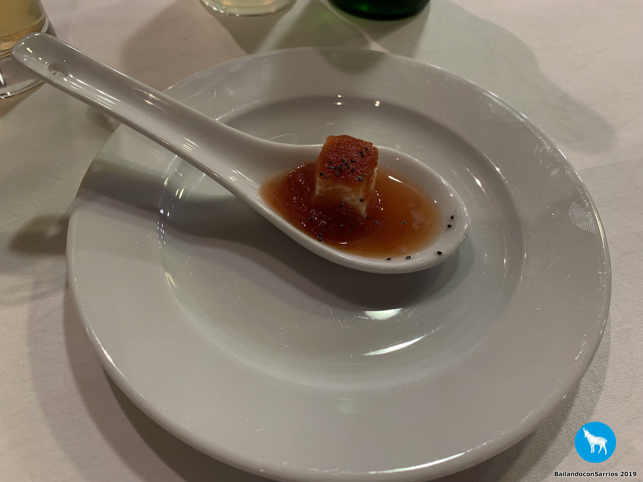
Back to the hotel at VILLA DE SALLENT, having a bath and some supper.
A snack...
... a salad with ham and asparagus...

... a catalan codfish...

... some pistaccio ice cream for dessert.

It's not naive to say that I've two birthdays since my traffic crash, when I was forced to reborn.
Nevertheless, as of today, I'll enjoy the true one, as stated in my STRAVA profile: "Celebrating my true birthday in the best way possible"/"Celebrando mi verdadero cumpleaños de la mejor manera posible".
I hope I'll be riding for as long as possible and make the most of my brand-new life back.