After two months without visiting the Pyrenees, we come back there. Firstly, we will climb the Peak Maladeta.
Spanish version in this link: LA MALADETA O MALADETA ORIENTAL (3.308 m). VÍA NORMAL O CORREDOR DE LA RIMAYA (PD/100 m/50º máx)
SITUATION
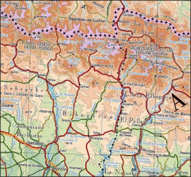
Massif of the Maladeta. NAtural Park of Posets-Maladeta. Pyrenees of Huesca.
STARTING POINT
Both of the Parking of Llanos and Plan del Hospital. This last is finded to 500 metres - 0,31 miles before the one of Hospital de Benás.
Coming from Benasque, go by the road way A-139. Once you're near the end of the valley, take the way towards "Llanos del Hospital". The parking of LLanos del Hospital is usually both restricted for the users of the hotel and completelly full of cars, specially in the summer. So you should better leave your car at the parking of Llanos del Hospital, 0,31 miles before Hospital de Benás.
To go to Benasque (Huesca), look here GUIA REPSOL.
CARTOGRAPHY
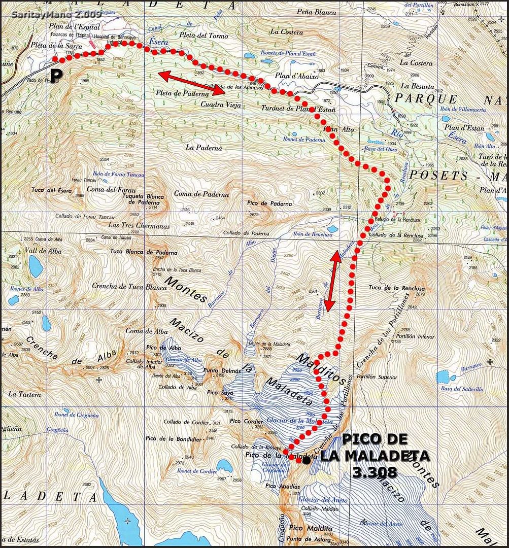
Valley of Benasque 1:30.000. Alpina Editions.
Benasque-Ball de Benás 1:40.000. Pirineo Editions.
MAP
SUMMARY
UNEVENESS: 1.700 m - 5.577 ft (+/-)
DISTANCIA TOTAL: 15 km - 9,3 miles.
TOTAL TIME: 11:15 hours.
DIFFICULTY: Easy-Middle.
50º slopes in the Couloir de la Rimaya (rimaya, in spanish, is the line between either ice or snow and the rock, where usually a crack is produced). This couloir provides access to Collado de la Rimaya. From this pass, you would have a clear access to the Maladeta. You will descend by this same couloir, in order to get back to Llanos del Hospital. Take care of it, cause it might be hazardous to descend this couloir, if you were not a bit skilled.
GEARS: Basic winter equipment; helmet and two ice axe are recomended.
THE CLIMB
Here we are driving towards Llanos del Hospital. We parked where we said before. Today is plenty of cars.
Tonight we sleep in the van, soon in the morning wake up, have a breakfast and prepare backpacks. The Most of the people camping here with us, are using skis to climb. That's a good point, believe me.
First spotlights at dawn.
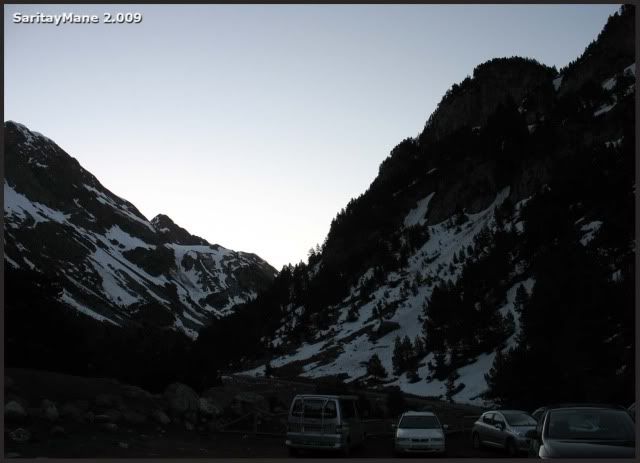
We are walking towards Hospital de Benás, by the road.
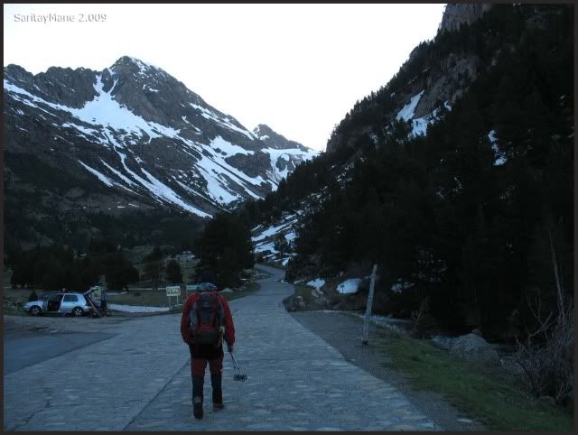
Taking a look at the mountains sorround us.
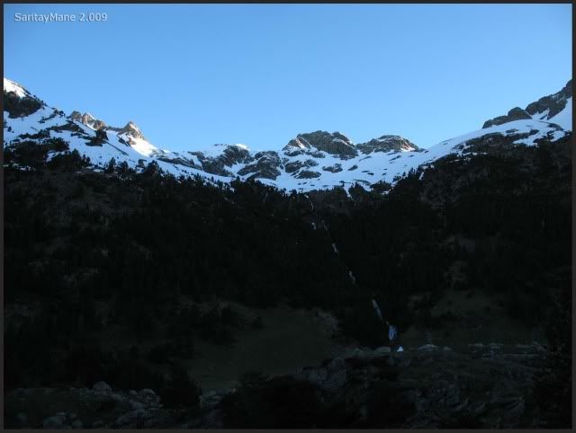
Moving up by the track of Besurta (the name of this road).
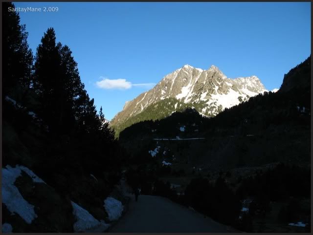
We shall walk this way for a long.
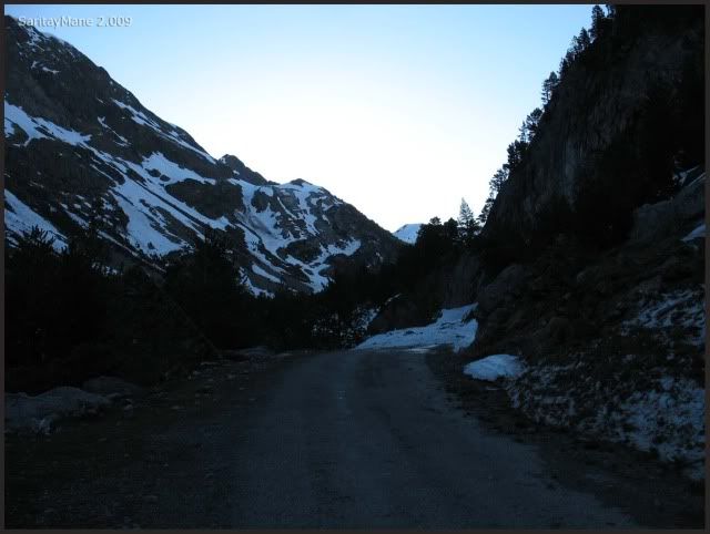
Soon we leave back Hospital de Benás.
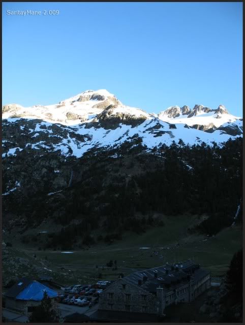
We hava a plain walk untill now.
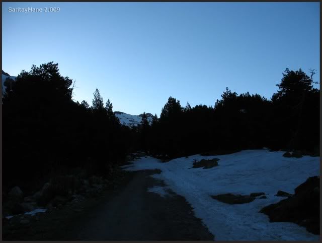
We advance as fast as we can.
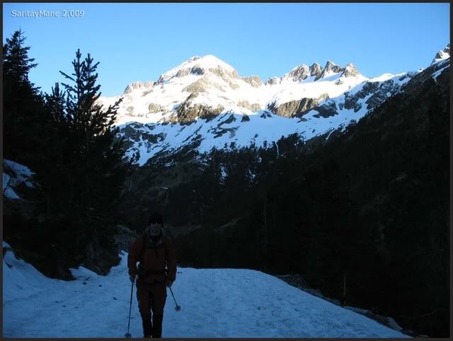
That Peak is named Mall Pintrat, we did it a two years ago.
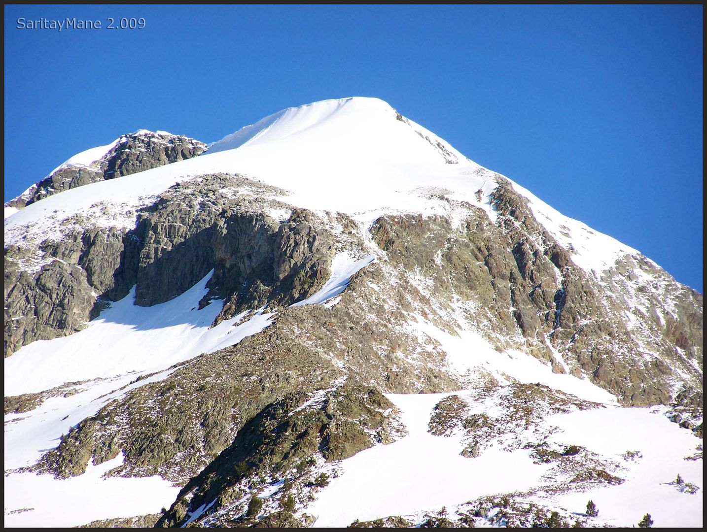
After a while the Peak of Paderna, right-handed.
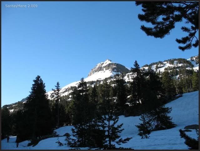
Here we are in the shade, but the sun raises more and more.
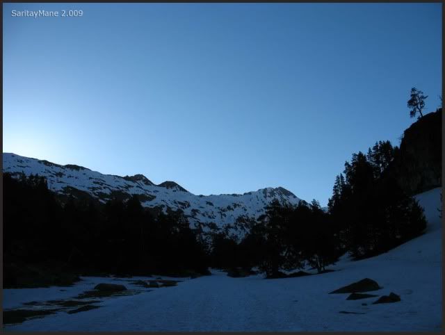
We arrive to the lakes named Ibones de Plan d'Están. Are full of water, and have occupied the track...
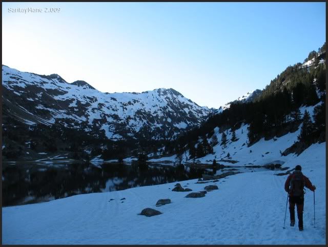
...and we surround it for here.
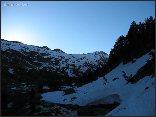
This a good moment to put crampons on, and also have water. Of course, never forget about sunblock.
Again by the track.
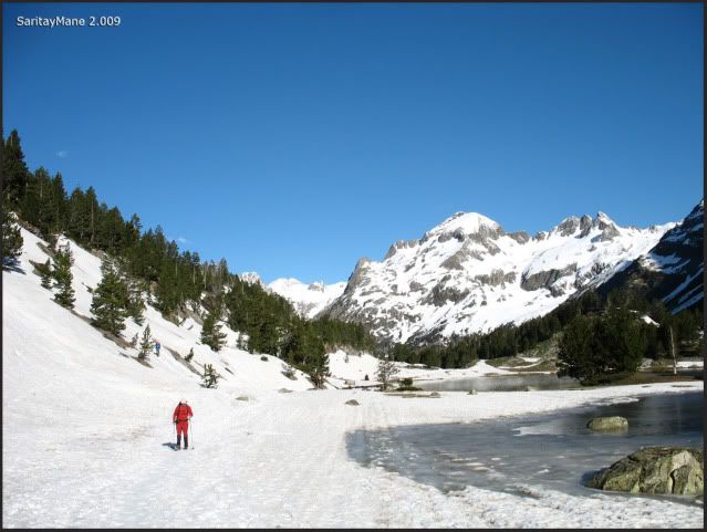
At this point, we move directly to this slope, right-handed.
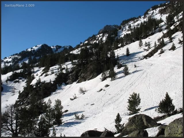
That Peak is named Salbaguardia.
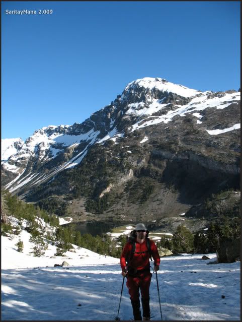
We leave back the lakes (called ibones in this part ok Pyrenees).
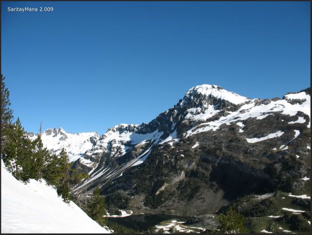
That's the Peak of Renclusa.
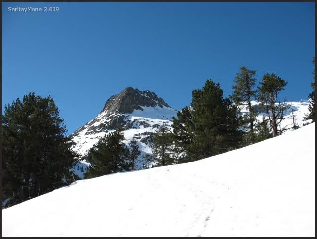
It shows that we're close to the Hut of Renclusa.
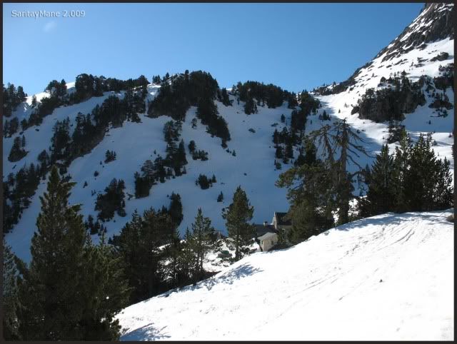
Thats the way we're walking.
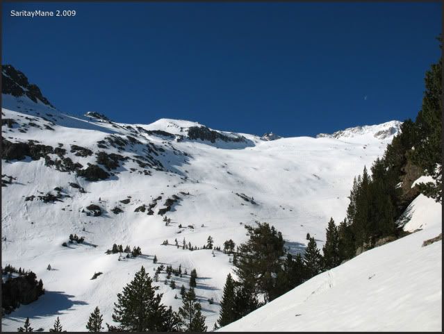
Many people moving up, most of them go to the Peak Aneto, highest summit of Pyrenees.
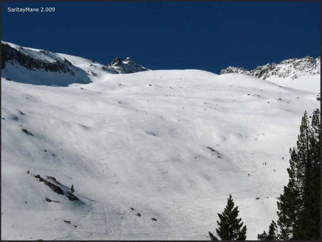
We pass near the hut, without loosing height. And head towards the slopes of La Maladeta. This way is the same as to go to famous Aneto, until arrives to the pass of Portillones. From there, you will go either left-handed to Aneto, or right-handed to Maladeta.
There it is where we go.
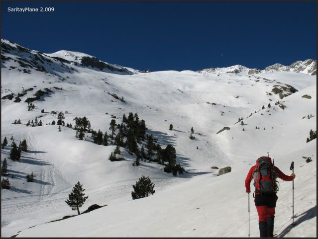
Leaving back the Hut of Renclusa.
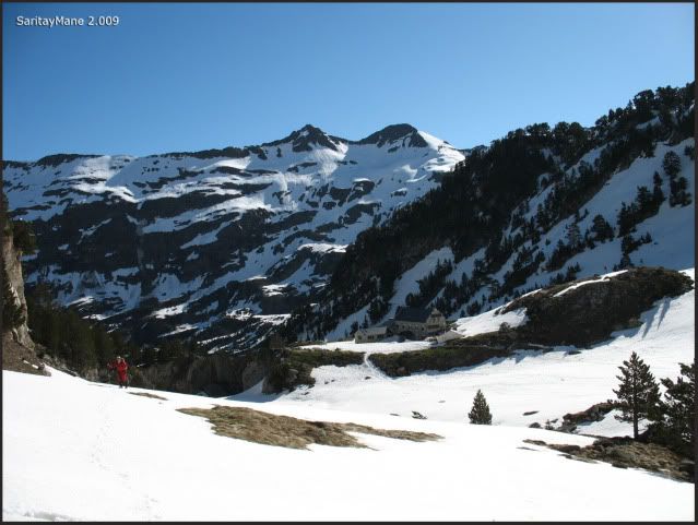
We follow the traces.
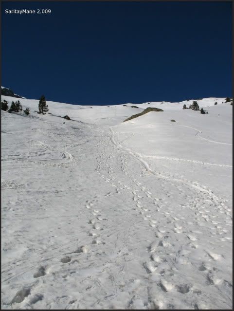
Making some "pit-stops".
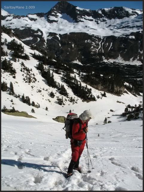
Still remains a big uneveness.
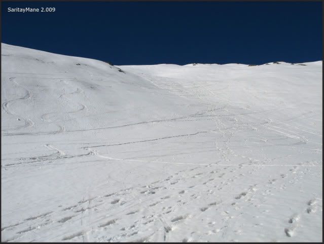
Sometimes very steep.
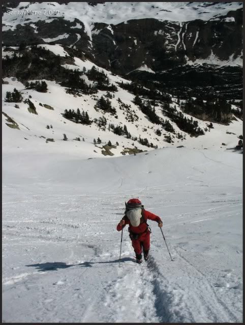
And the Valley of Benás on our backs.
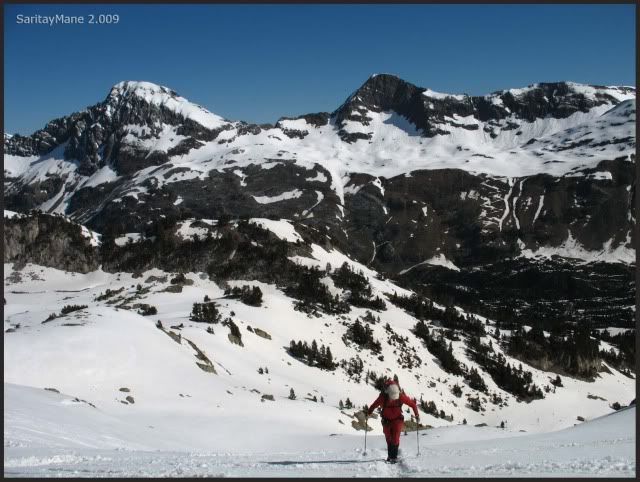
See the Peak Salbaguardia and the path to the pass named "Portillón de Benás", printed in the slope.
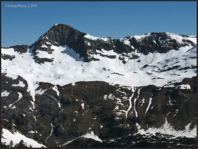
And the Peak of Paderna, which we have partially surrounded.
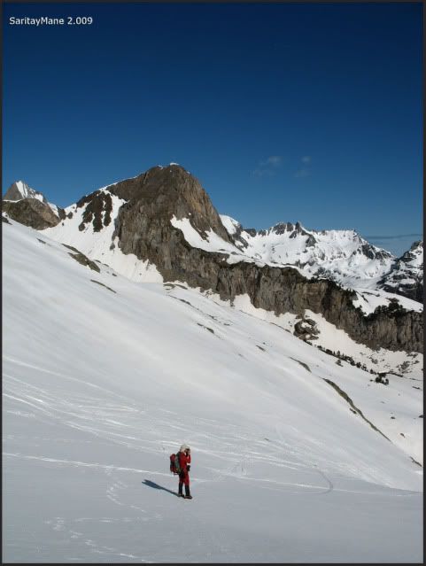
A pan picture, from the Peak of Paderna to the one named Tuqueta de Bargues.

But we have to restart the walk.
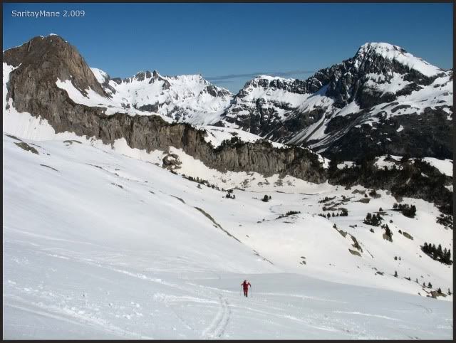
The bootom o the valley.
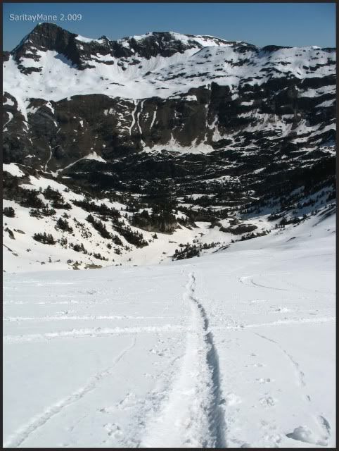
Ascending bit by bit.
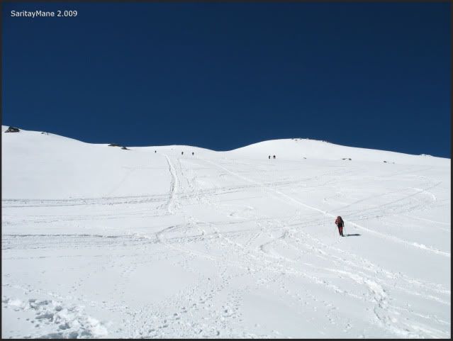
There's nobody by the pass of "Portillón Superior".
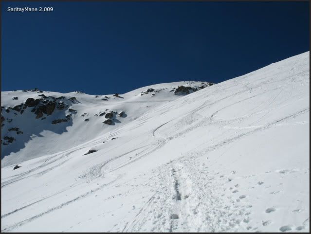
A neverending slope, doesn't it?
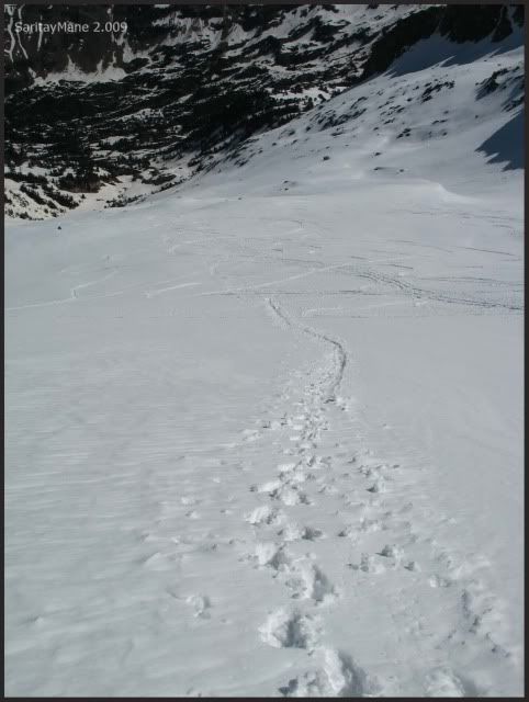
We see the Maladeta at last.
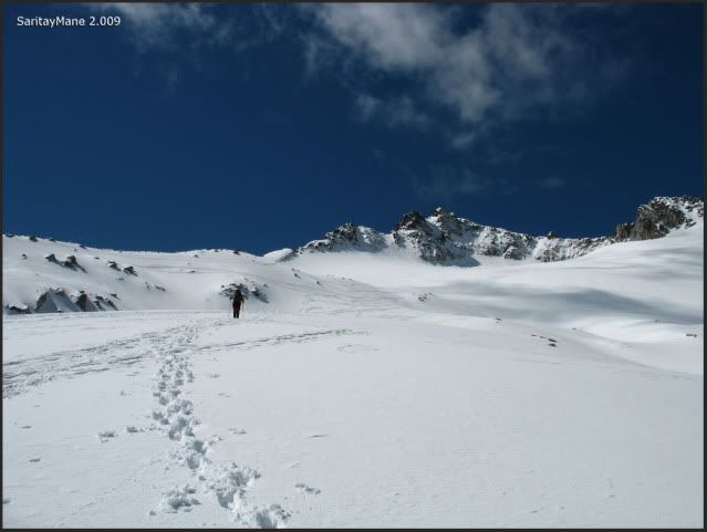
A bit more near.
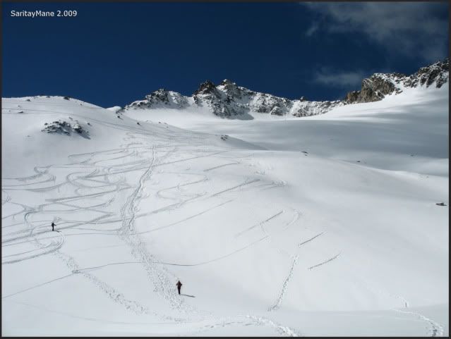
Take a look at that blue sky, above white mountains.
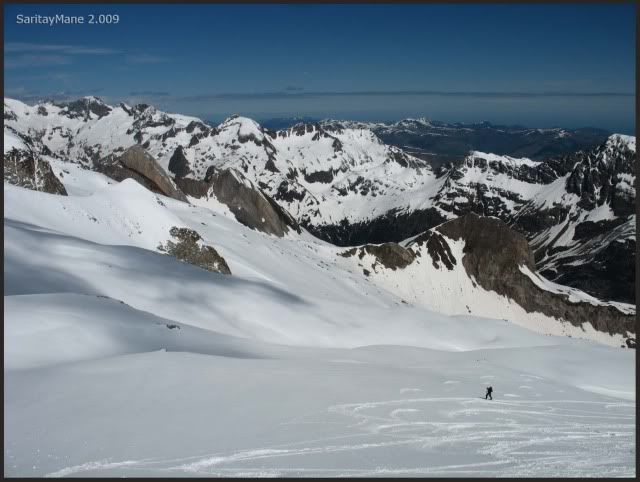
But we are still under the ridge of Maladetas.
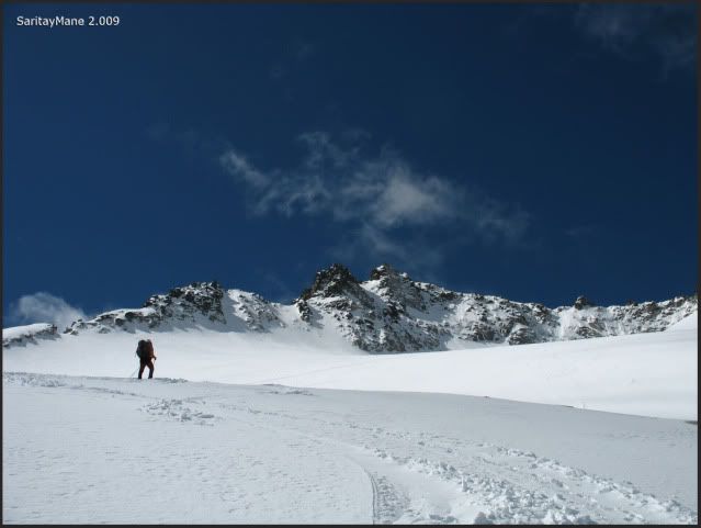
It's getting cloudy.
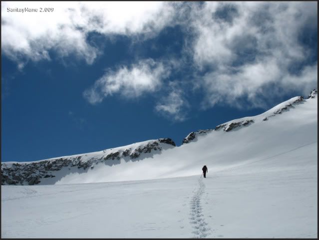
But is a good day to have a flight.
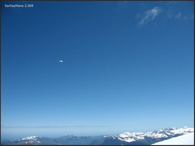
And there, faraway, is the Couloir of "Collado de la Rimaya", we can see people ascending. They seem like ants.
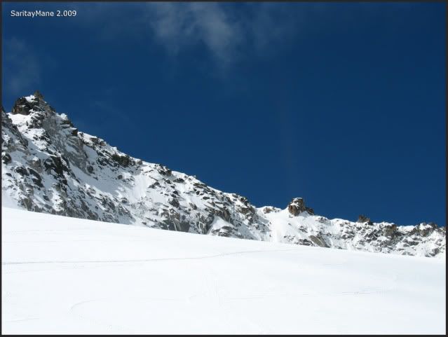
And upwards, we see a great amount of "Val d'Aran" now.
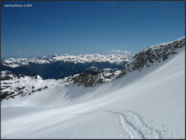
There it is the couloir.
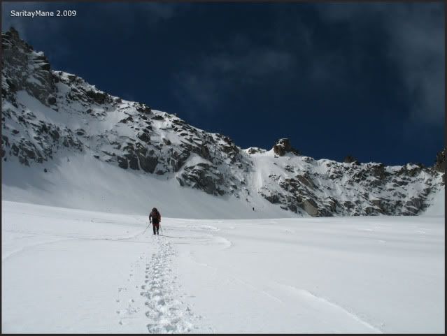
While we sorround the North Face of Maladeta we are very closed to the couloir.

Follow the line, please.
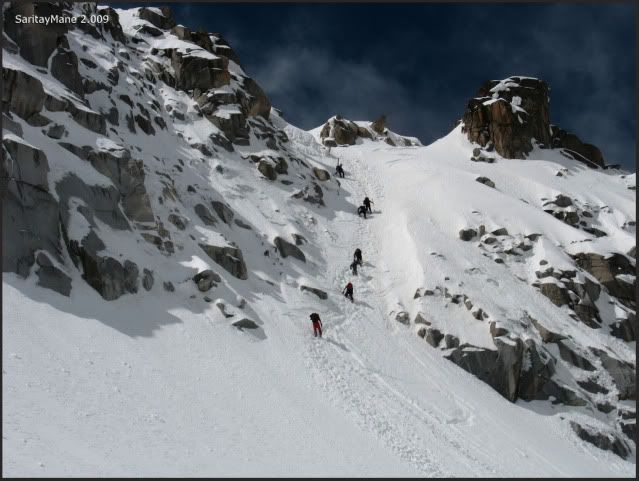
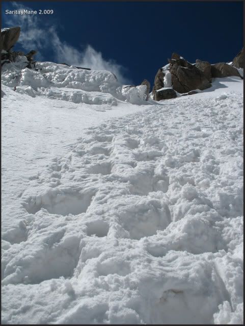
We stop at the feet of the couloir and have some meal and water. It has 40º-45º slopes. In the middle of the couloir it gets very steep because of a block which we is fully covered with snow.
Starting the couloir.
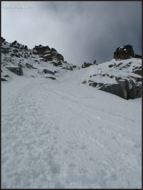
Pose a bit, please.
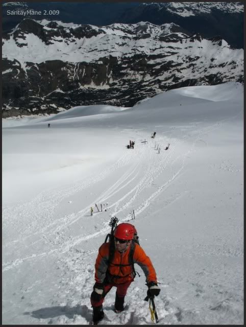
There are deep footprints.
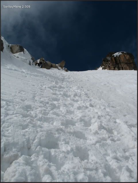
And we ascend without troubles.
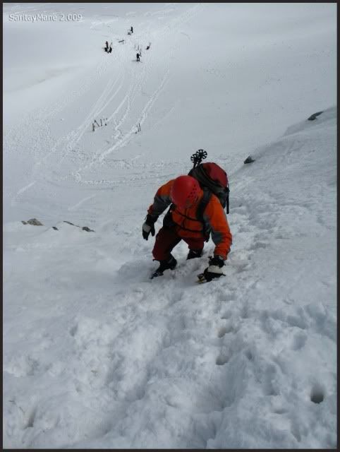
The Ridge of Peak Collado de la Rimaya, at right-hand.
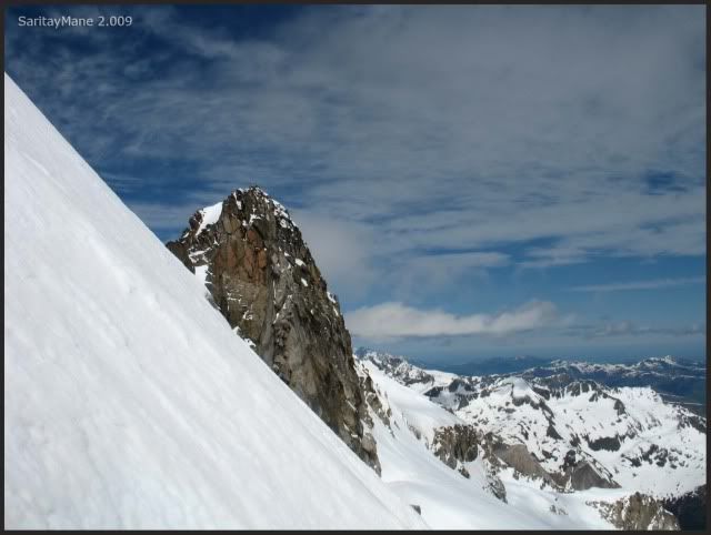
The slope steepens a bit more, must be near the block.
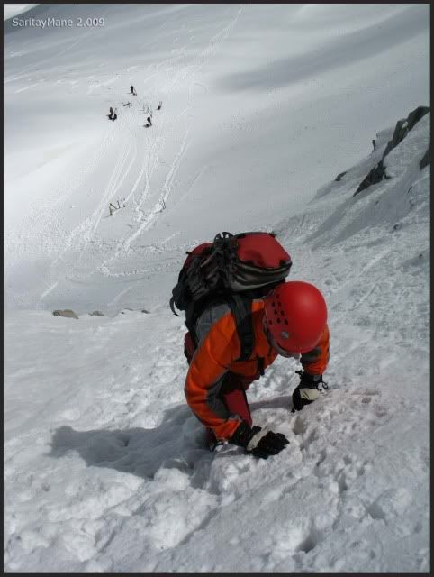
In the middle of the couloir.
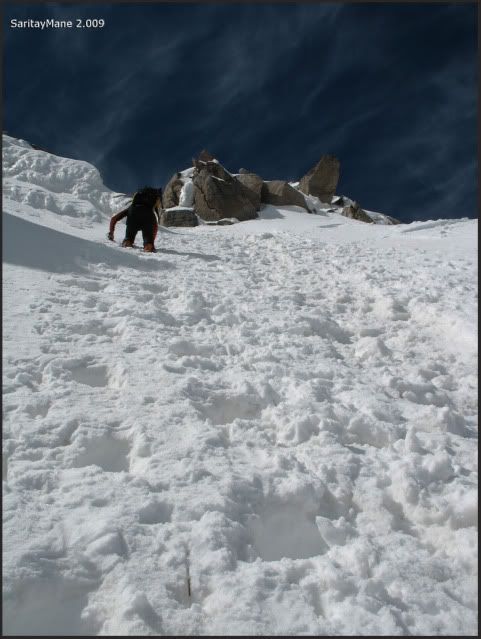
It must be round 50º steep.
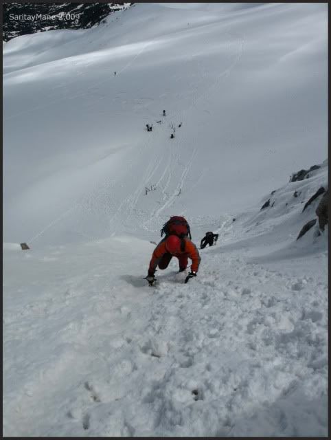
Now we see the exit of the couloir.
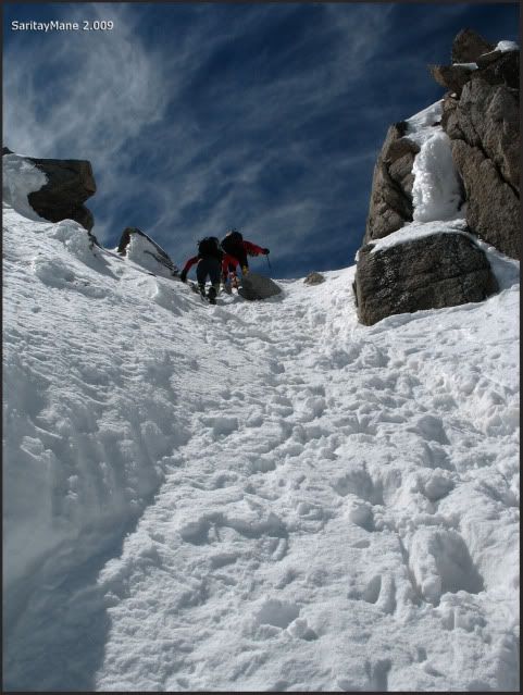
And we face tha last steps and the final slope.
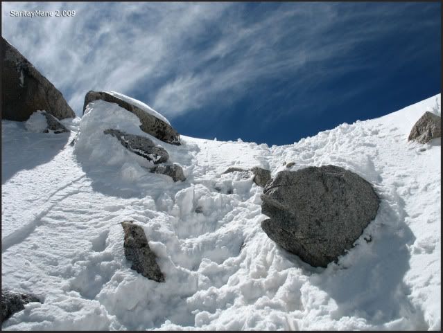
At the Collado de la Rimaya.
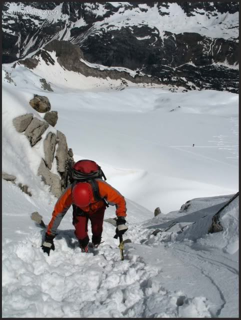
Only a few metres to go.
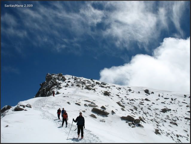
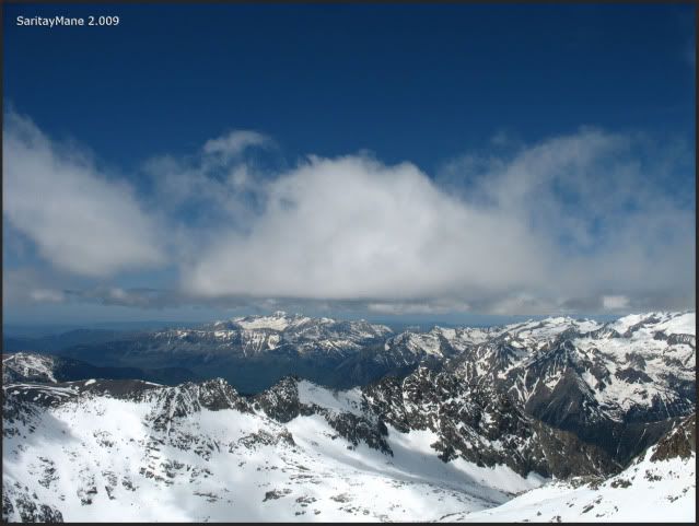
As I said before, it's getting cloudy.
Walking to the summit.
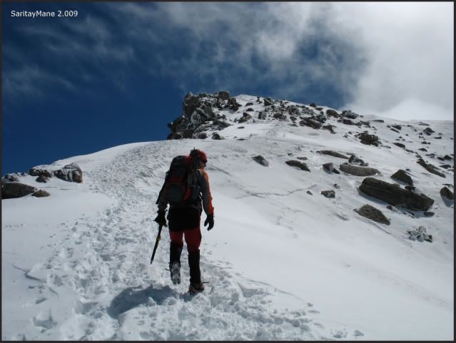
Peak POSETS, where we were in Janury, hides behind the clouds.
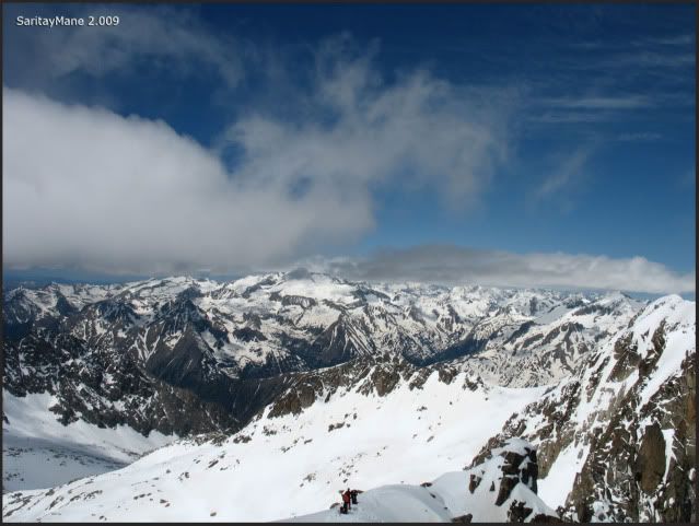
Easy way to do.
Long ridges on our backs.
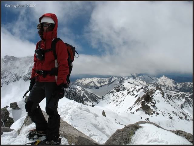
Mane on the top.
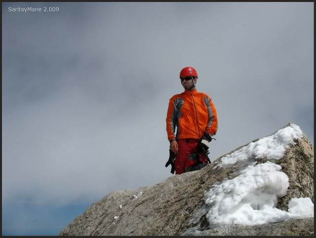
Clouds enveloped us.
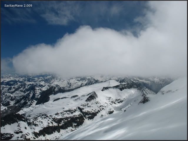
All around.
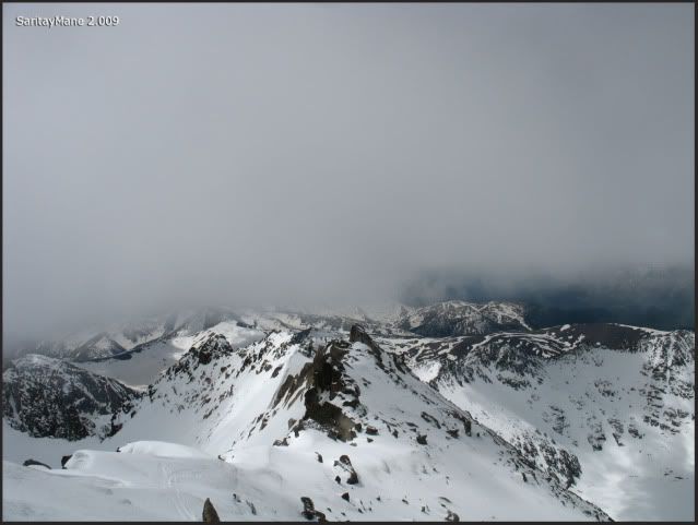
Summt of La Maladeta (3.308 m - 10.853 ft).
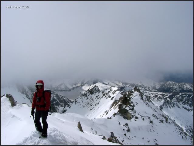
We can't see almost anything. It's very windy up here. We take some fotographs.
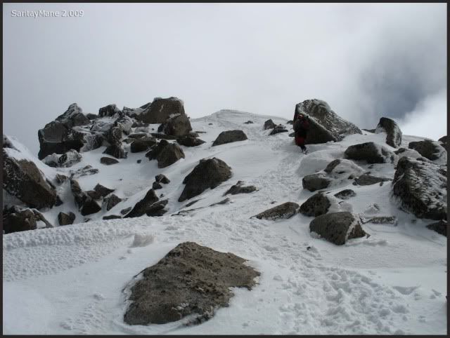
A big rock on the top of the Maladeta.
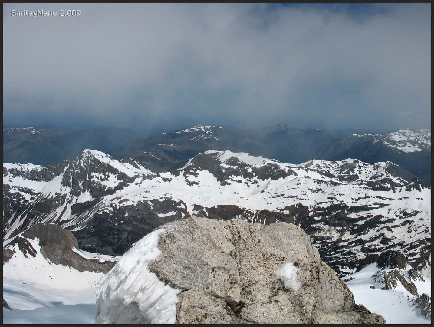
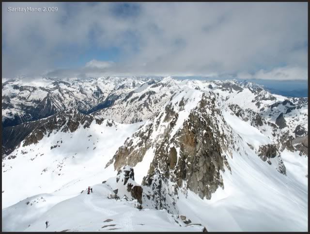
There it is the Ridge of Peak "Collado de la Rimaya" to the Peak Cordier.
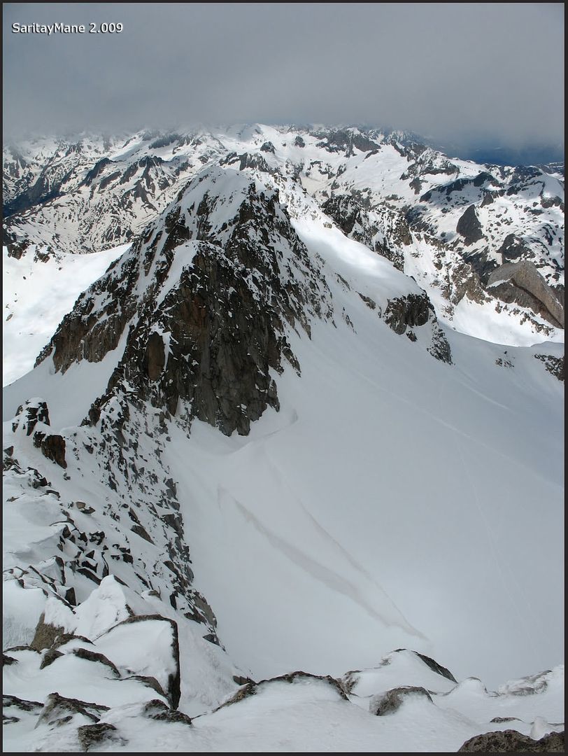
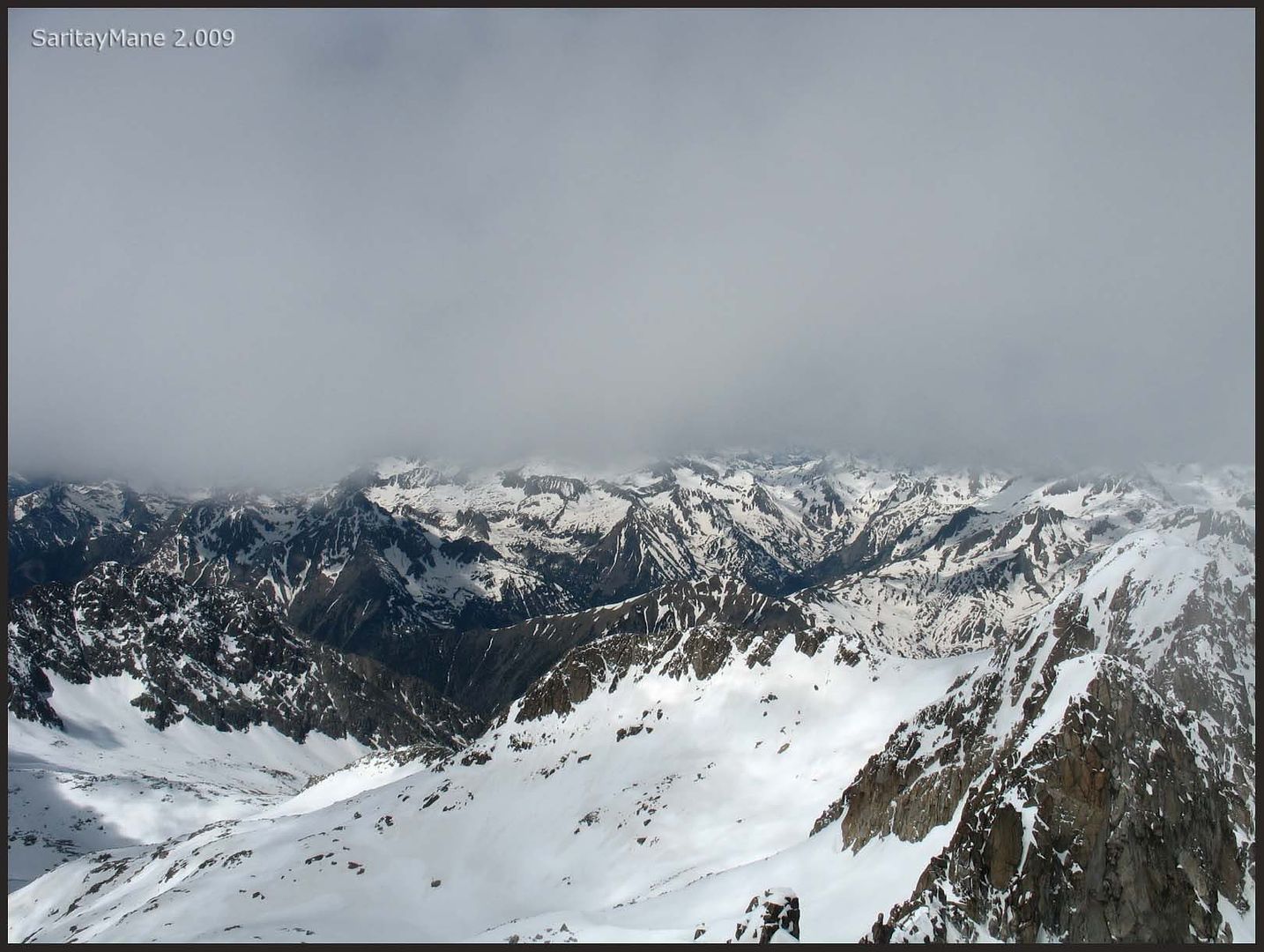
The heart of the Pyrenees is fully coated.
The Ridge to the Peak Abadías, at right-hand.
The Peak Maldito, a thin edge as we see from here.
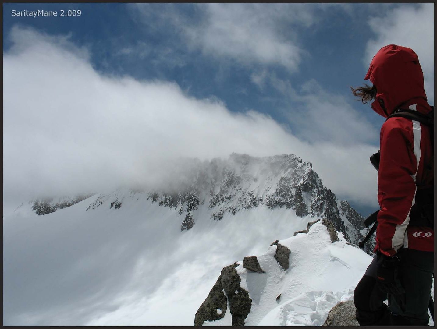
And the Ridge named "Cresta del Medio".
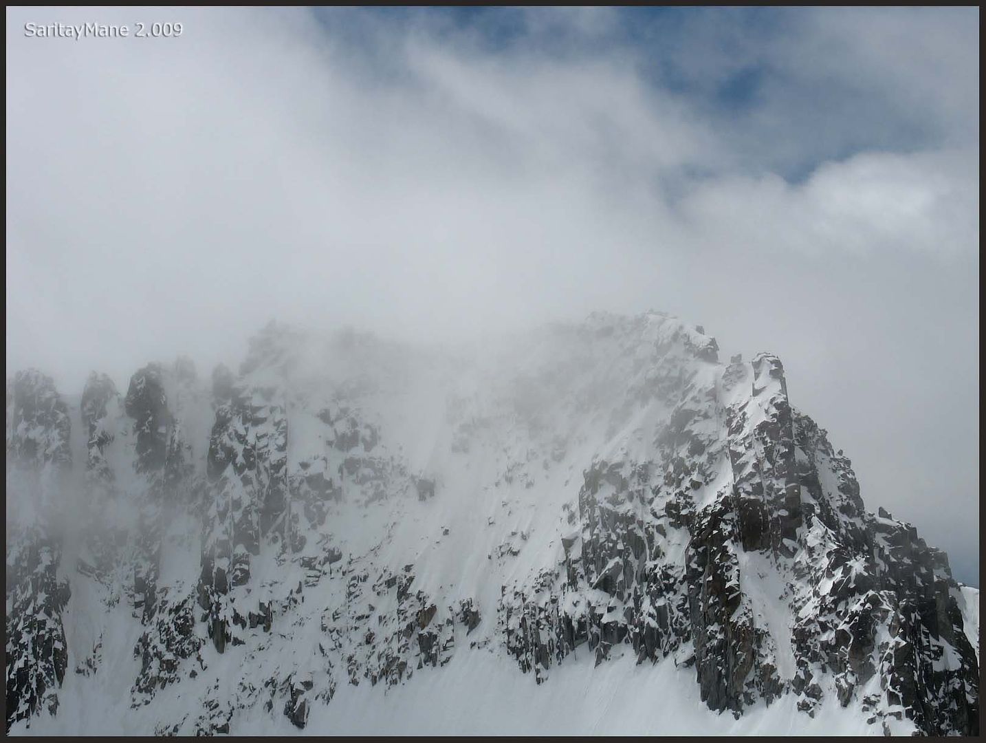
And the Ridge to the "Portillones".
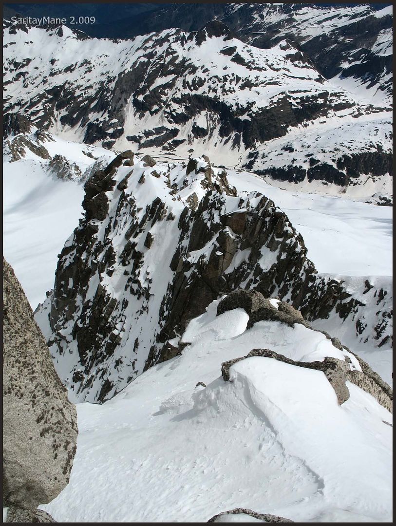
We wait for a little while, but nothing happens, except of more clouds coming. It's a shame, but we have to go.
We head for "Collado de la Rimaya".
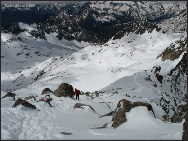
Definitely, the clouds take possesion of the Peak Maldito.
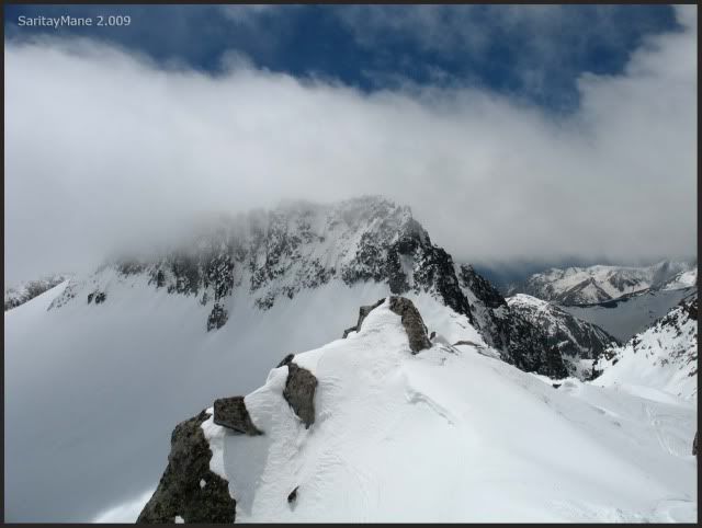
We move down.
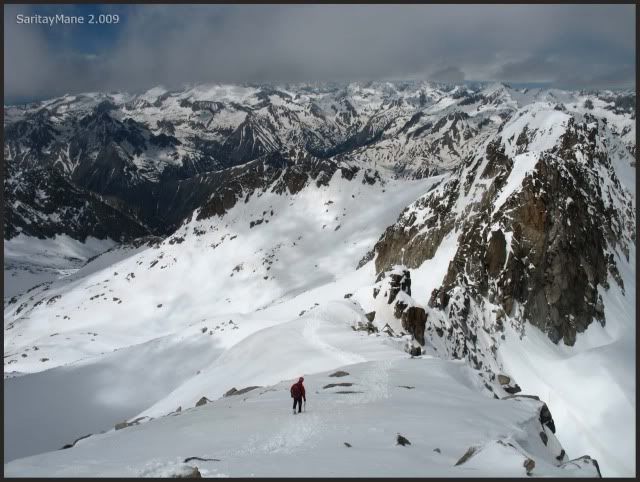
Untill "Collado de la Rimaya".
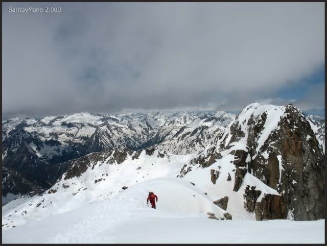
We begin the descending.
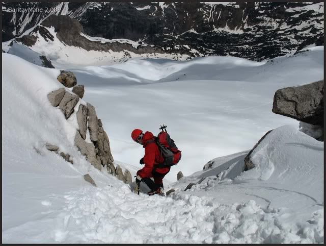
Always very carefully.

A last sight to the Peak Cordier where we were a year ago.
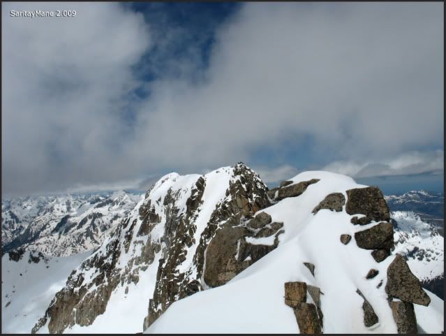
Good bye, Maladeta.
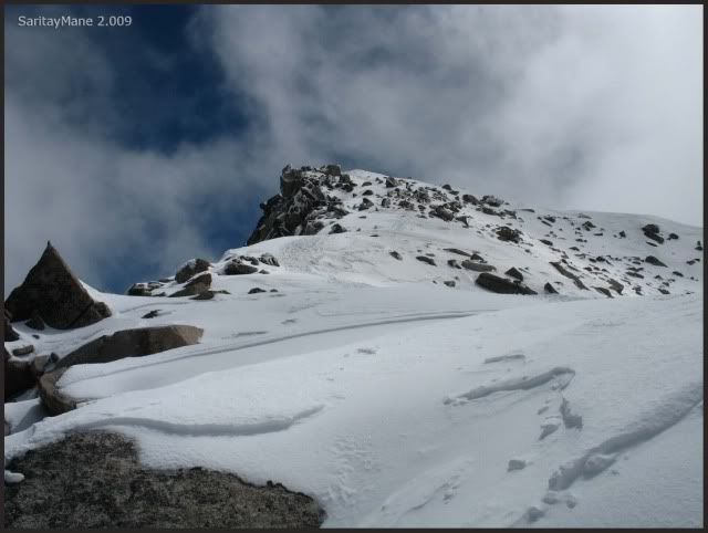
I decide to give a while to Mane, in order to reduce the risk of falling the both of us, if I loose a feet.
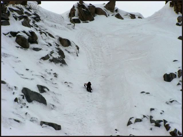
Mane is on the steepest part of the couloir.
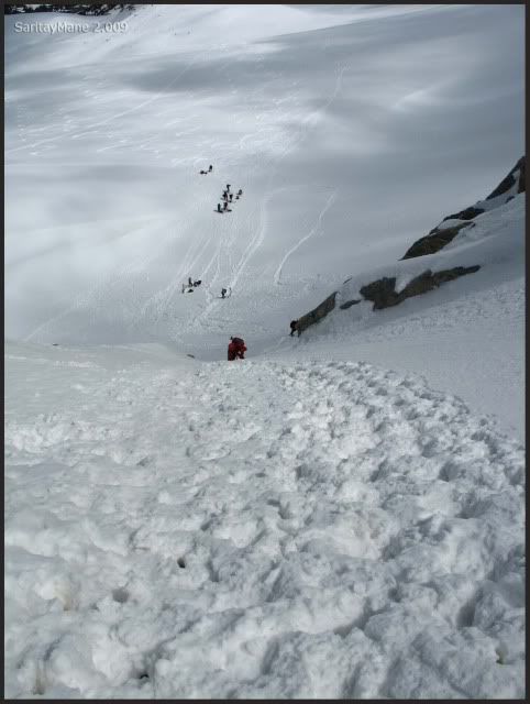
Which is passed without troubles.
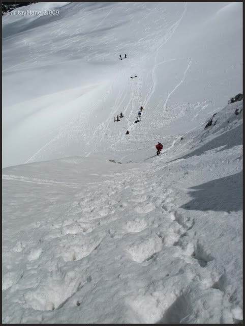
I use this steps to descend.
Mane is watching at me.
He is sitting quietly.
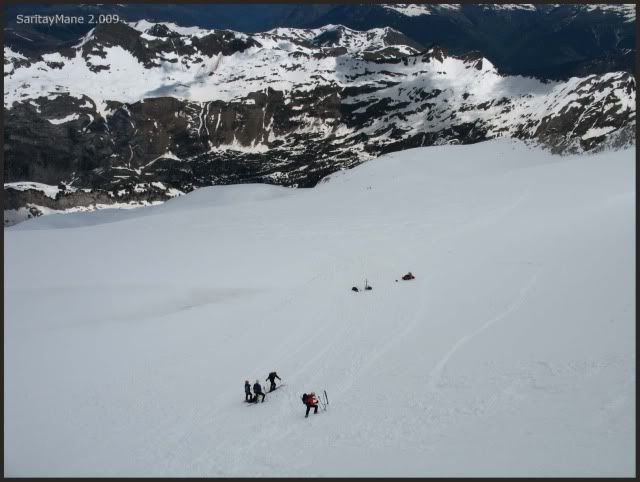
We have a little rest at the feet of the couloir, have some meal and water. It's definitely becoming cloudy and windy.
The clouds cover the sun.
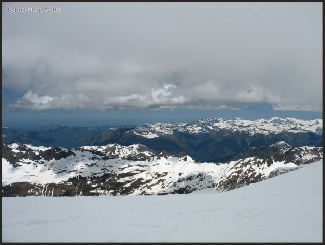
Almost everywhere.

We start descending.
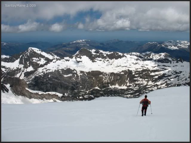
Watching the couloir again.
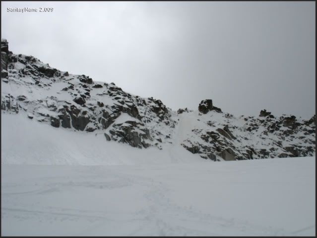
And the Maladeta itself.
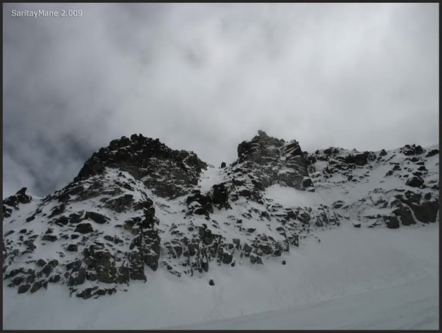
Vall d'Arán seems covered too.
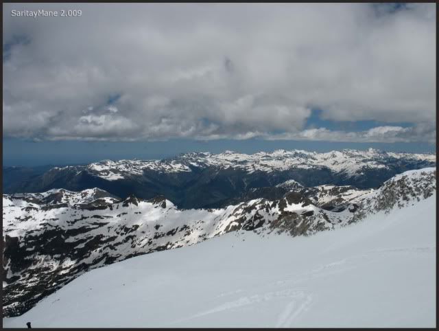
Two skiers slide very fast.
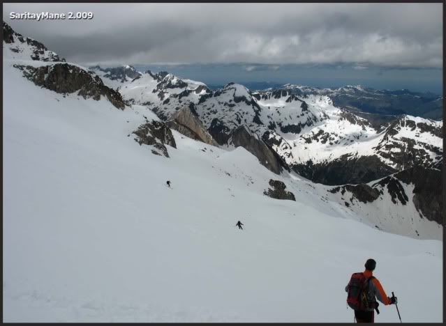
We are going down.
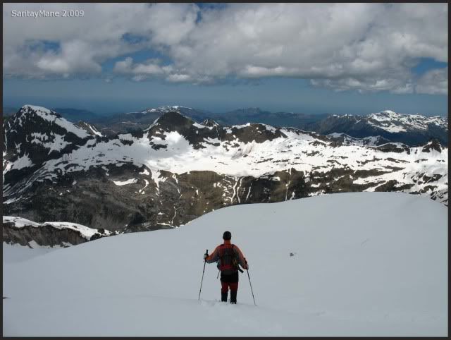
We definitely back the Maladeta.
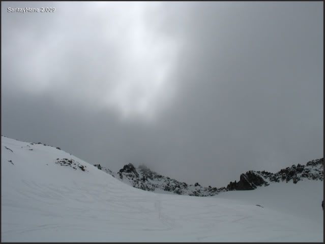
Still remains a long way to arrive.
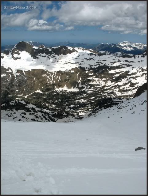
Somebody is trying to use his bottom as a pair of skis.
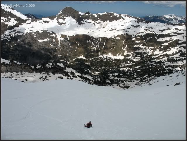
There it's the path to the Portillón de Benás.
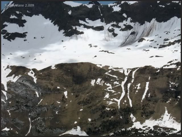
And the PEAK OF PADERNA, in which we were in January.
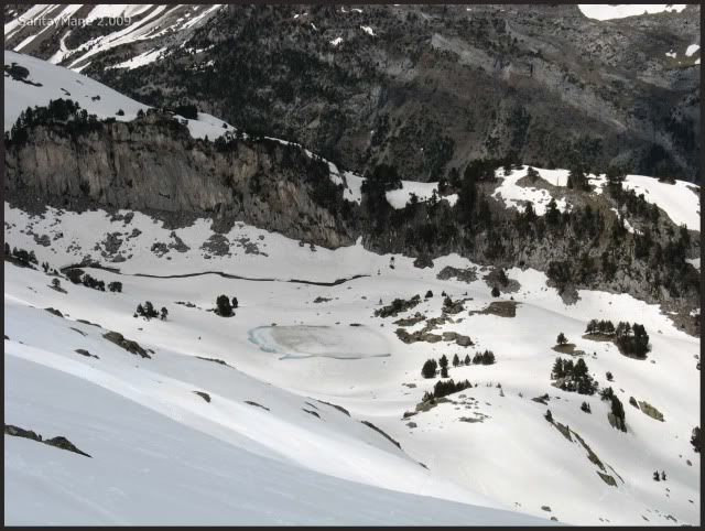
See the lake (ibon) of Renclusa.
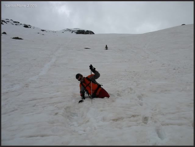
Mane may have an iced rounded bottom by now.
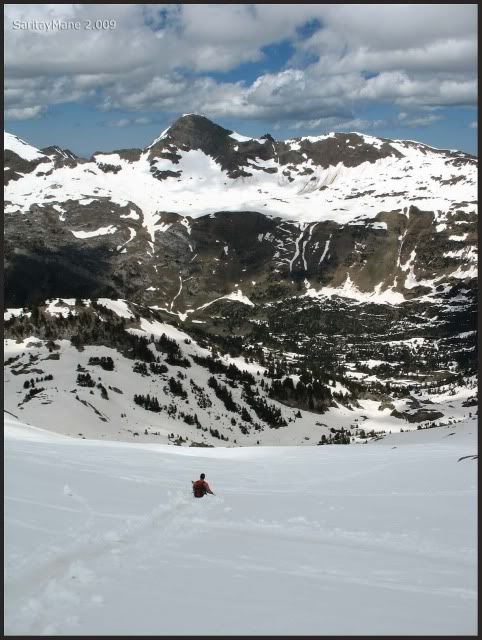
We move towards the valley.
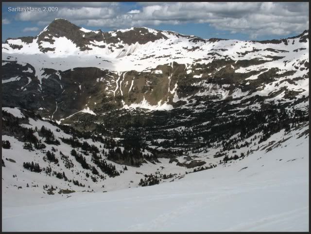
At the center of the picture, the Peak Sacroux.
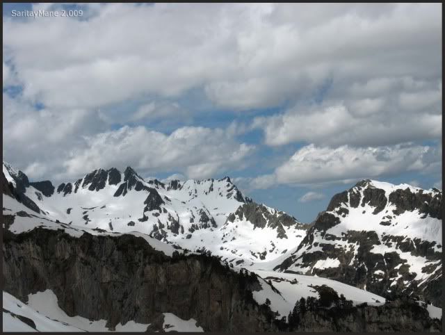
And other persons use bags as skis.
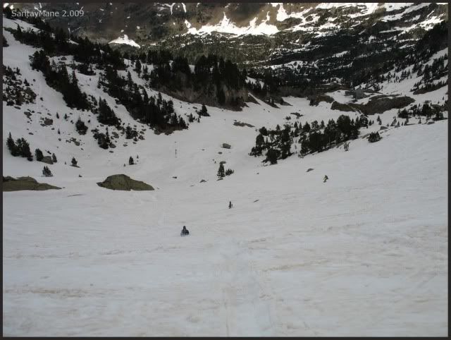
And anothers sink till the hip.
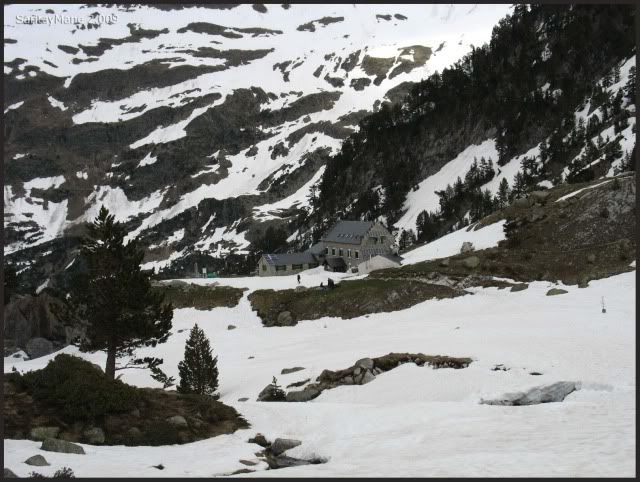
We are near the Hut of Renclusa.
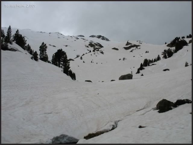
We have descended by this slopes.
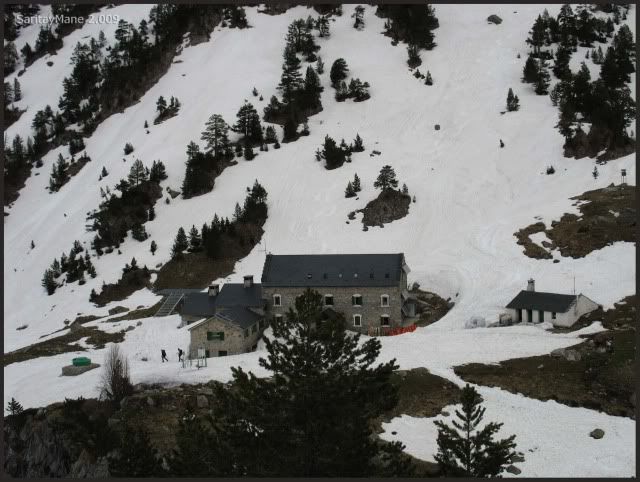
The front part of the Hut of Renclusa.
We return back on our footsteps.
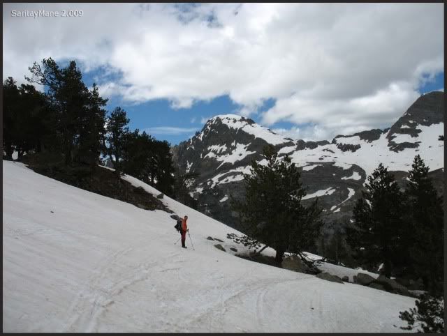
We head towards to the "Ibones de Plan d'Están".
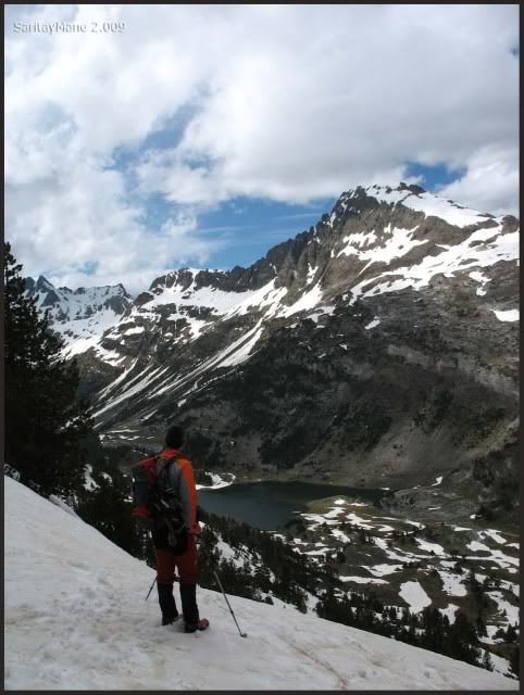
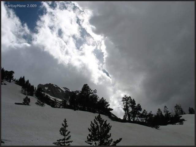
Each moment it becomes more and more cloudy.
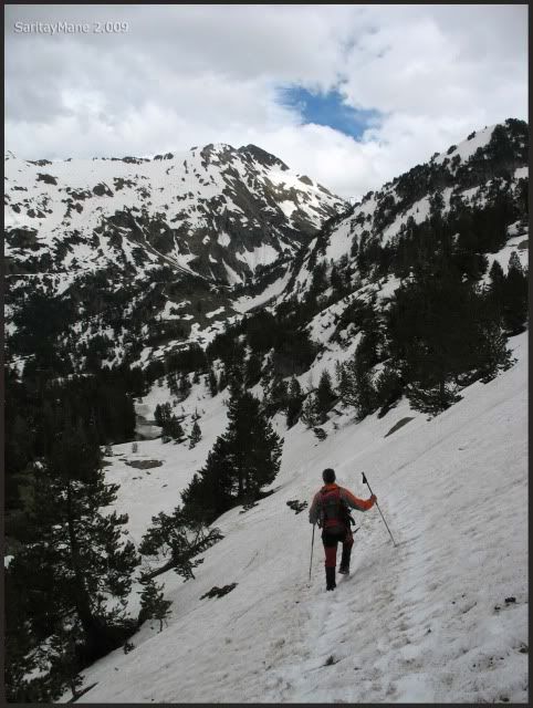
We lost our way for a short of time, but we found it at last.
There it is the Hut of Plan d'Están.
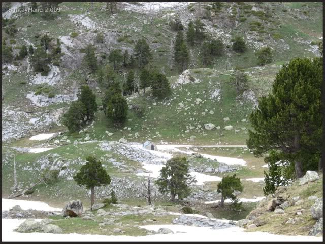
We are back to the lakes again.
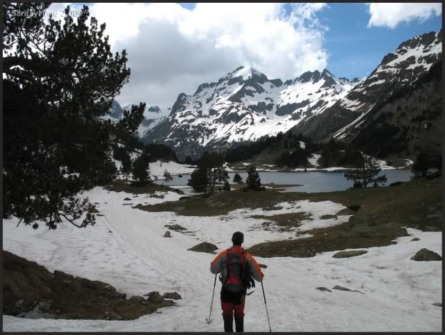
Some part of the track is covered by the water.
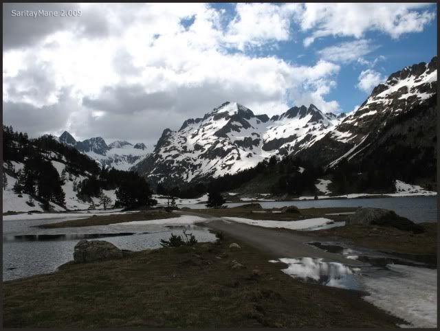
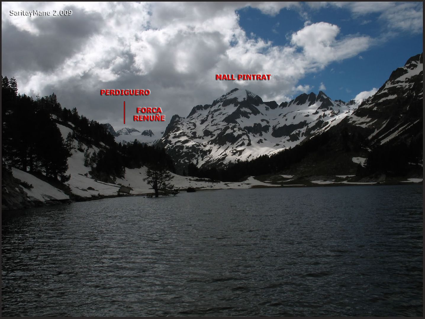
Here are signed some peaks which have climbed before.
And finally, we come back to the parking by the track.
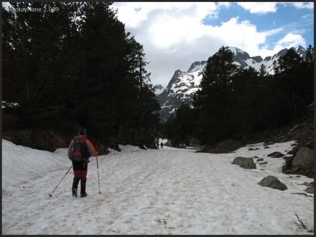
Towards Hospital de Benás.
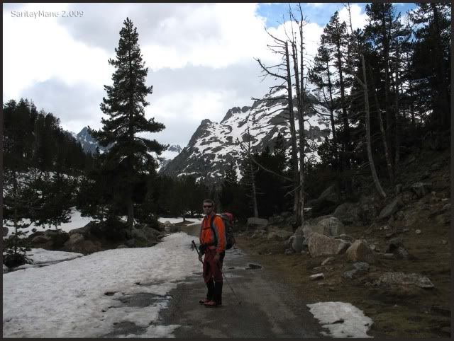
The Peaks named "Tucas de Lliterola", on the background.
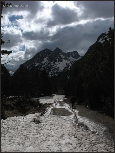
We are almost back.
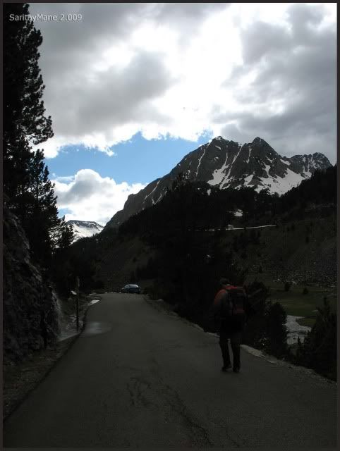
At last we arrive to Llanos del Hospital.

We are going to National Park of Ordesa and Monte Perdido. Our next objective is the Monte Perdido itself.
To look for another Climbings in English Version, click on this link: RANK OF PEAKS. ENGLISH VERSION.




No hay comentarios:
Publicar un comentario