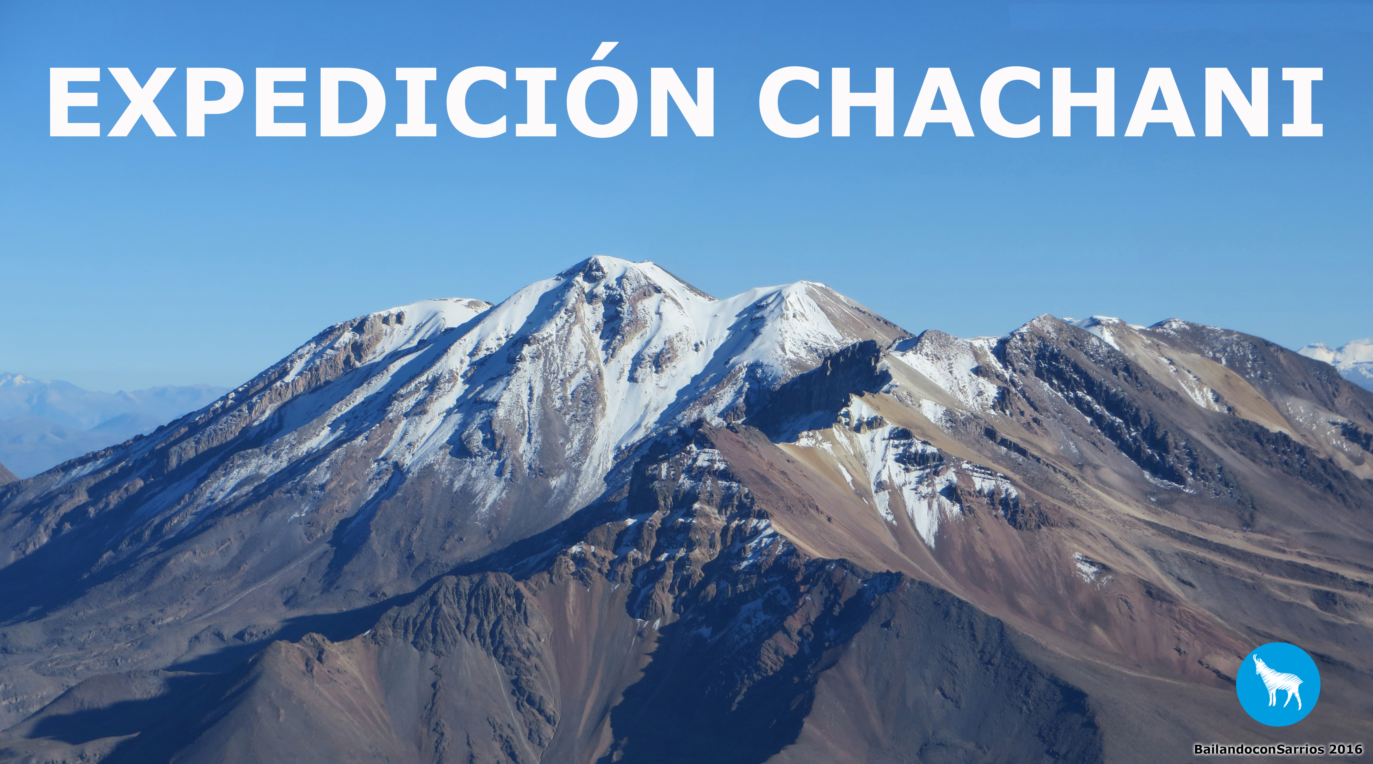
After visiting Ansó Valley, and the sudden coming of polar front, weintend to change our plans and head to Tena Valley, to climb the easy-to-do Peyreget Peak. This a the best viewpoit for the Midi d'Ossau.
Spanish version in this link: PEYREGET (2.487 m)
SITUATION
French boundary of Tena Valley. Parc National des Pyrénées. French Pyrenees.
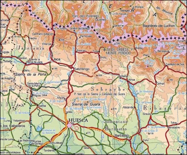
STARTING POINT
Parkign area of Cabane de l'Araille. It's 1,5 km – 0,6 miles long to El Portalet Pass.
Beginning at Formigal, follow the road A-136 until the El Portalet Pass, then straight through the road D-934 a mile or less, to get to a small parking area on one side.
To get to Formigal (Province of Huesca), seek in GUIA REPSOL.
CARTOGRAPHY
Valle de Tena Sierra de Tendeñera Peña Telera 1:40.000. Alpina editions.
MAP
SUMMARY
UNEVENNESS: 800 m – 2.624 ft (+/-)
TOTAL DISTANCE: 8 km – 4,97 miles.
TOTAL TIME: 05:45 hours.
DIFFICULTY: Easy.
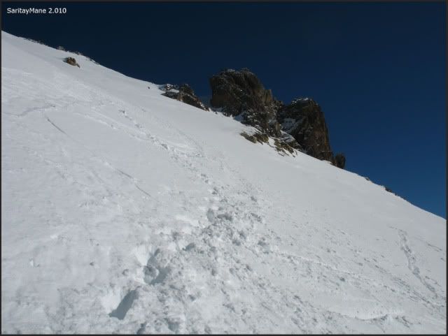
45º snow slopes near the summit.
GEARS: Basic winter equipment. Helmet useless.
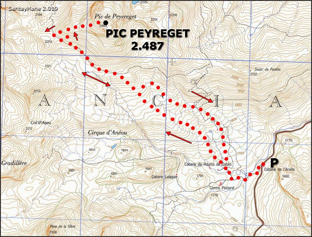
TRACK LOG GPS
Click on: WIKILOC 20100106 PEYREGET
THE CLIMB
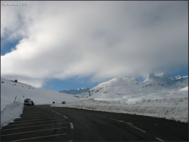
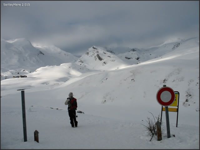
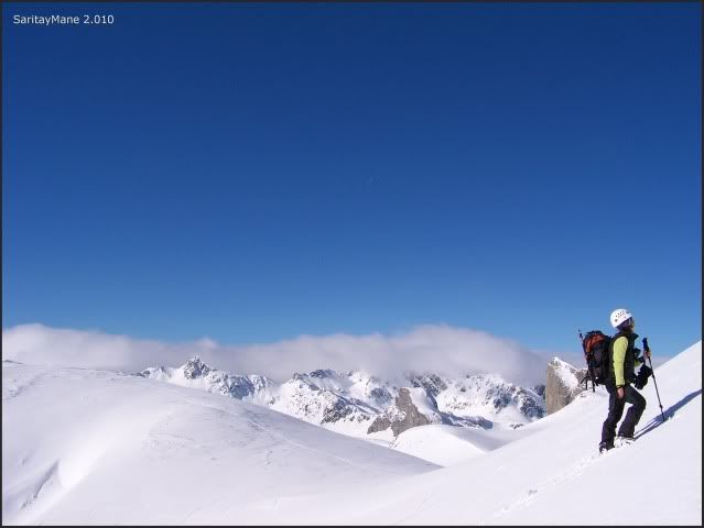
Round 09:15 hours we cross through the Portalet Pass, it's really cold, as it's -10ºC/– 14 F of temperature indeed. Leaving back the ski lifts, arrive to the parking area that we said before.
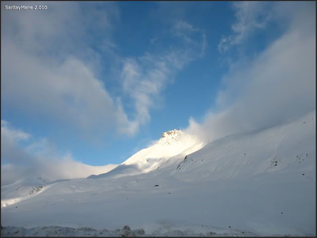
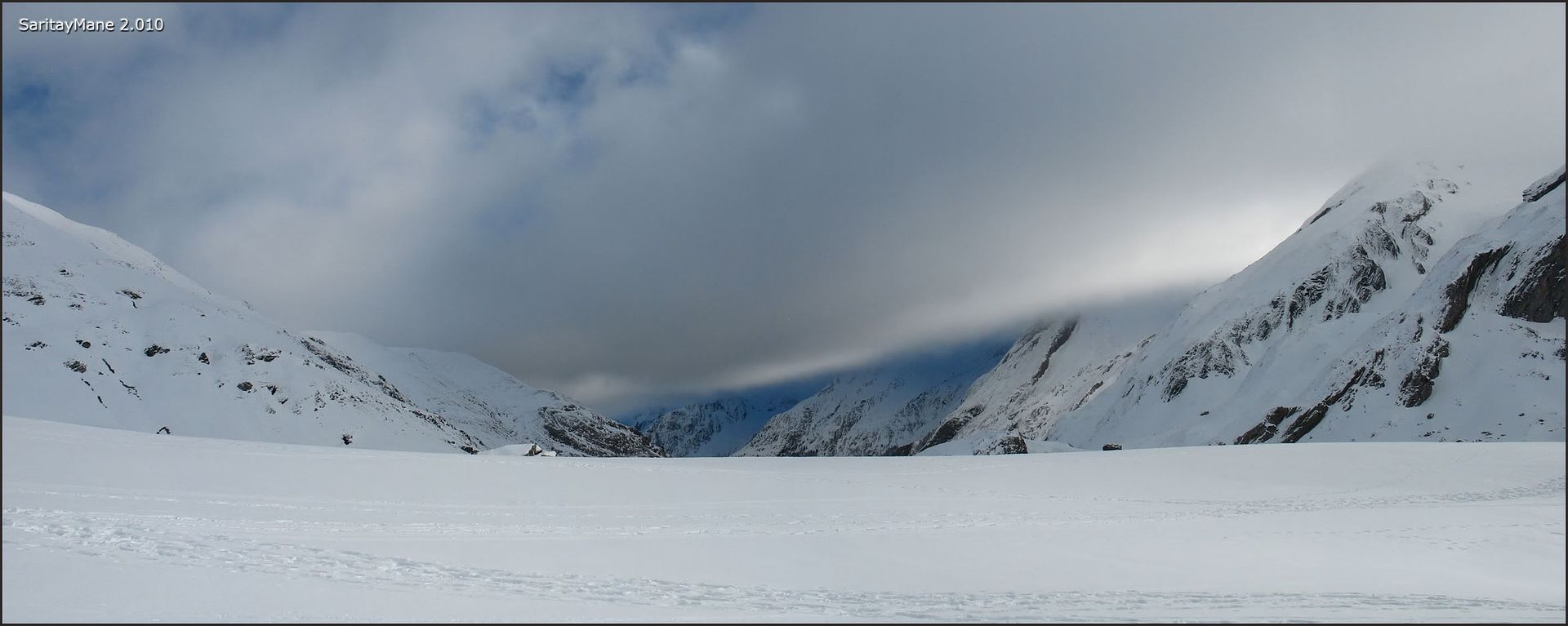
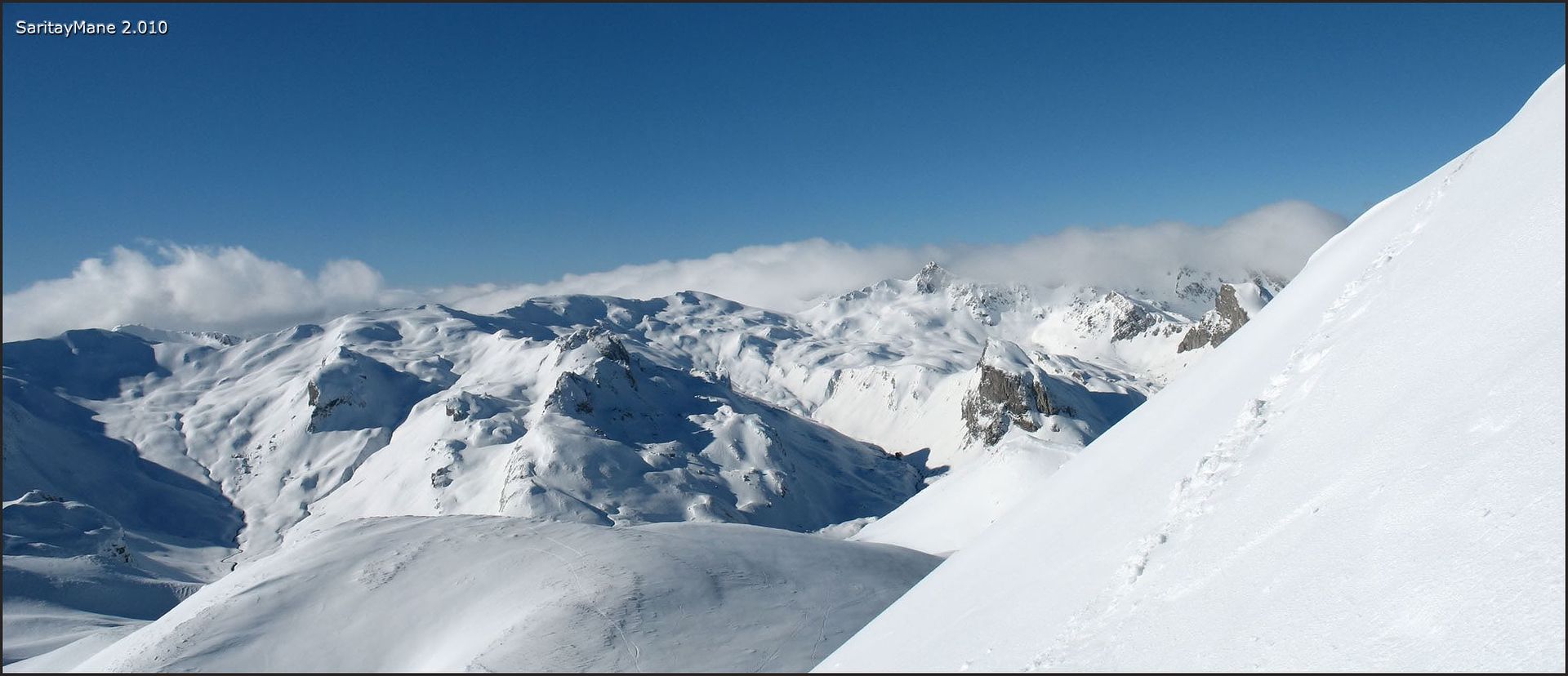
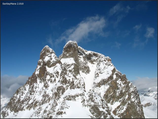
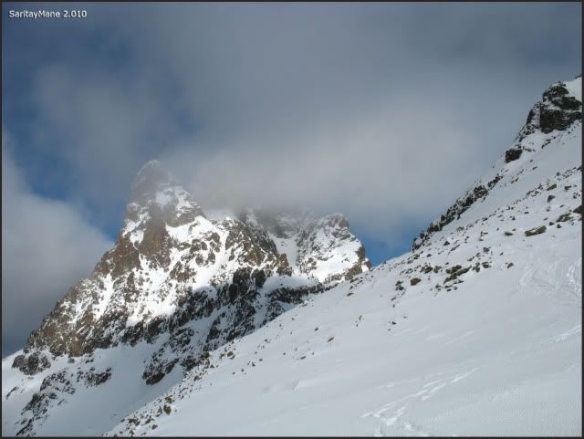
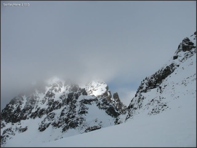
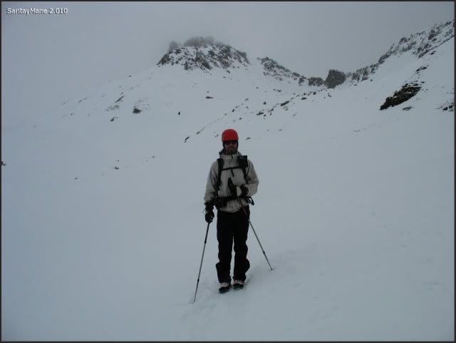
Peyreget is surrounded by clouds.
This is a short climb, so we expect the comeback in a few hours.
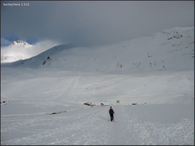
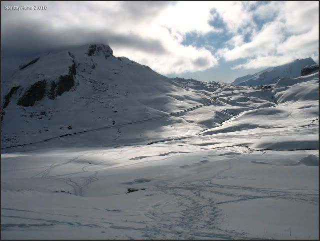
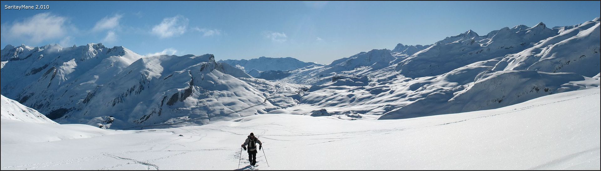
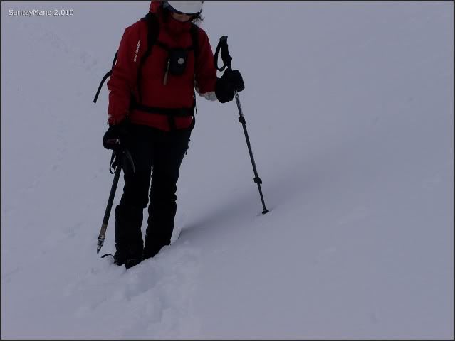
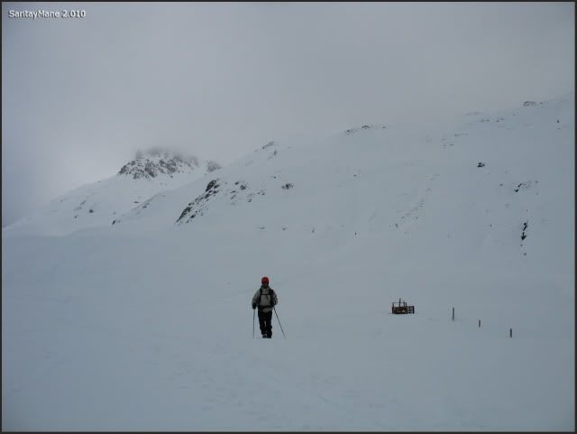
The lonely parking near 10:15 hours...
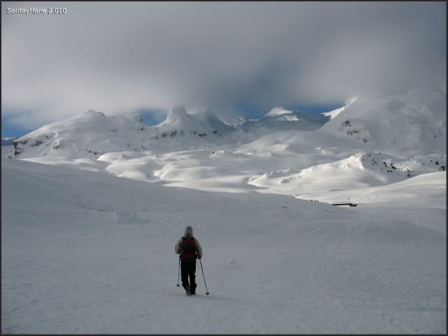
... so we begin walking...
... clear cold white day, for sure...
... sun rising from Tena Valley, in the Spanish Side...
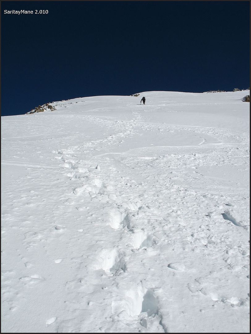
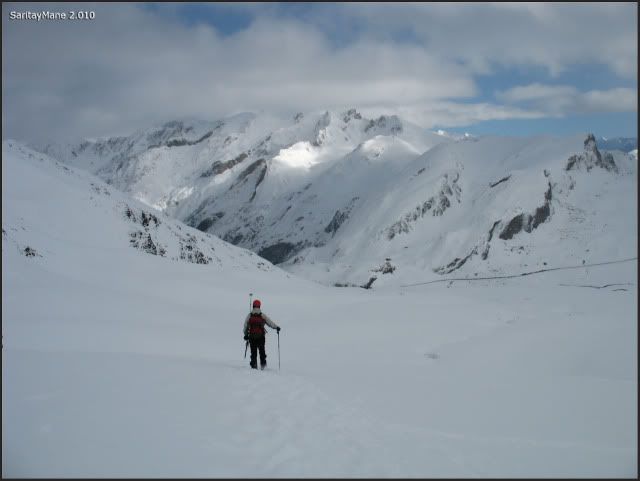
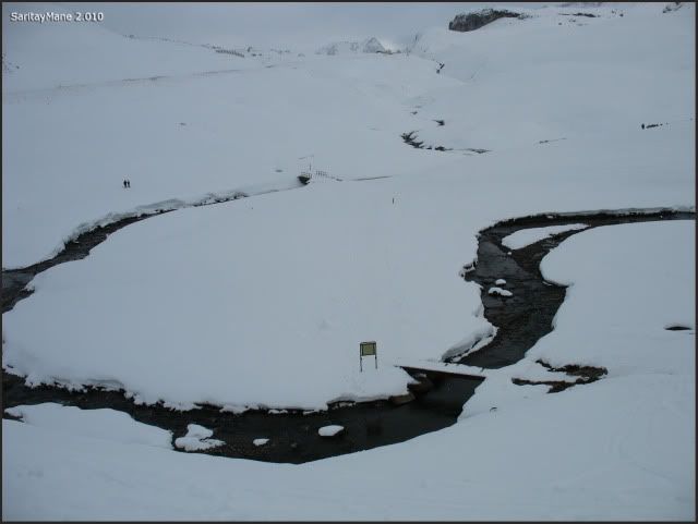
... at first, is a flat way...
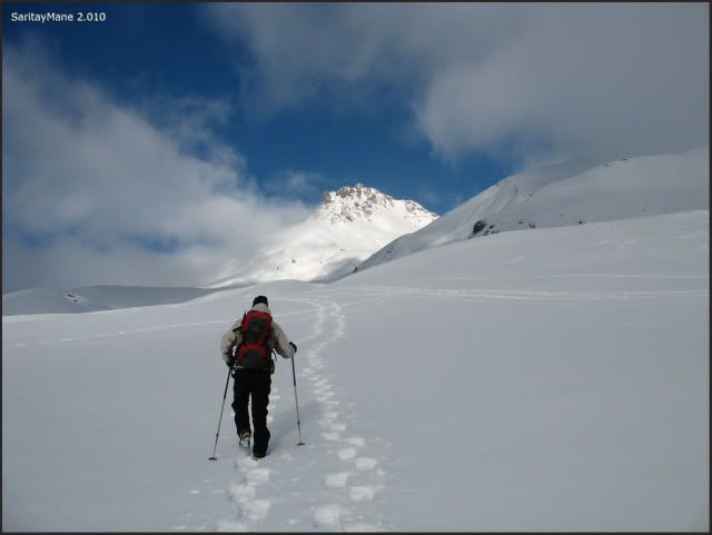
... following the footprints...
... now looking on our backs...
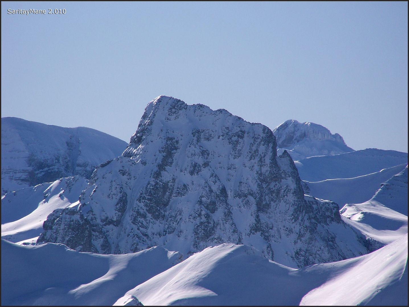
... towards the Peyreget...
... everlasting, all the way long...
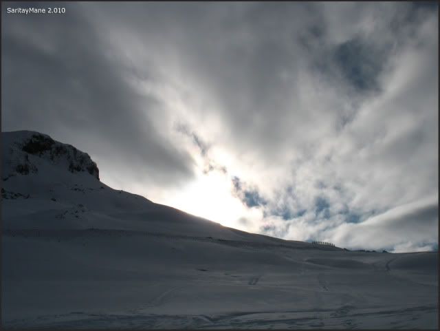
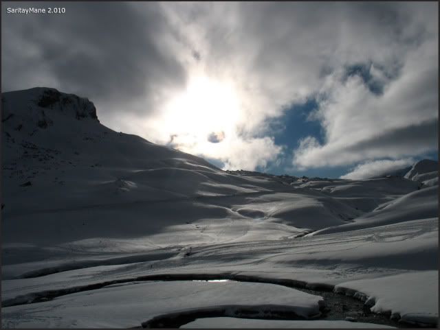
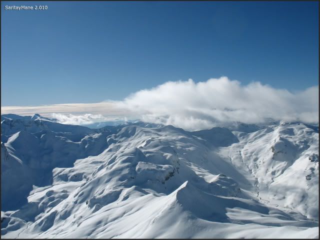
... those clouds indicate it's a cold winter day...
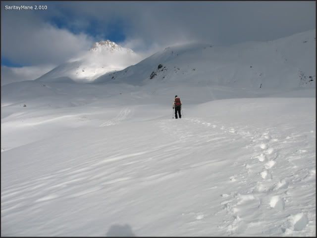
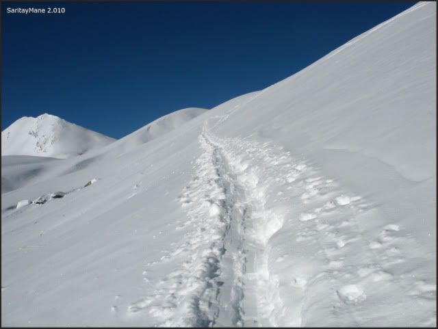
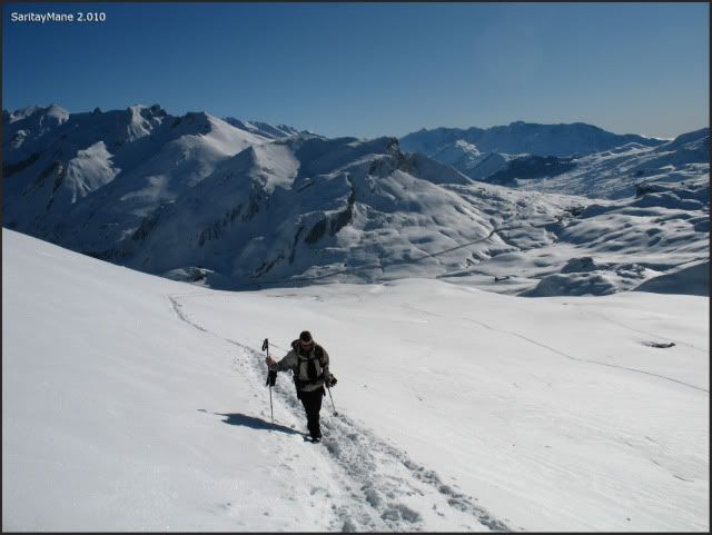
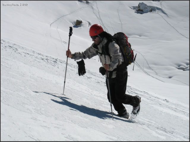
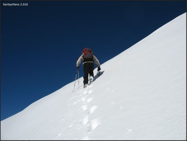
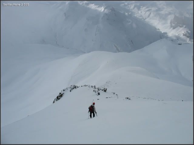
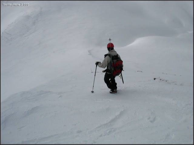
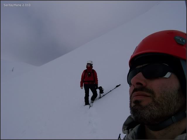
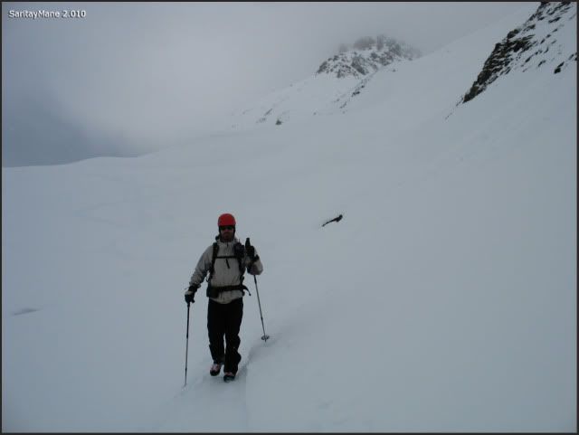
... earning altitude...
... I'm ahead Mane...
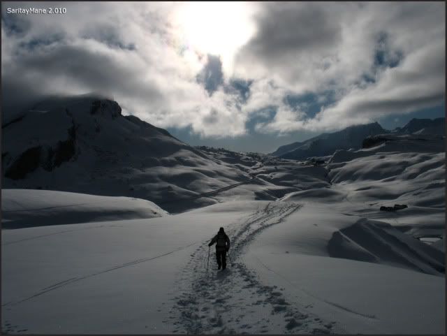
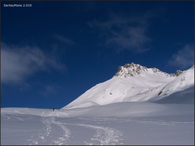
... today's goal...
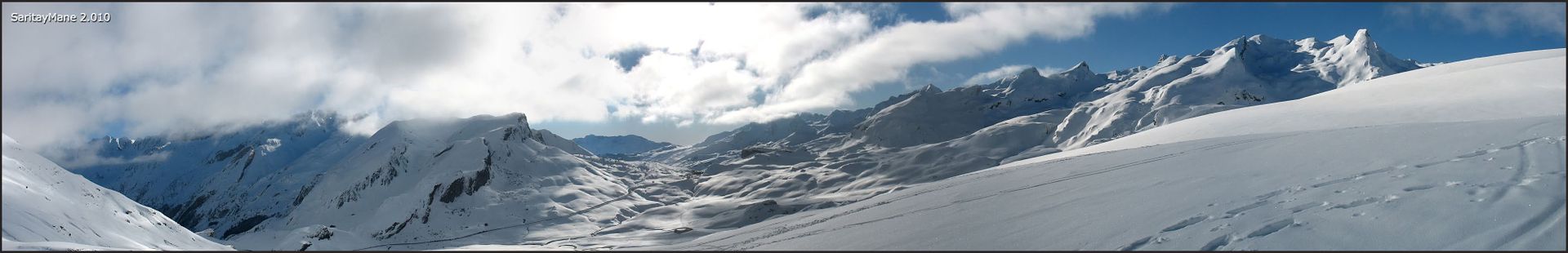
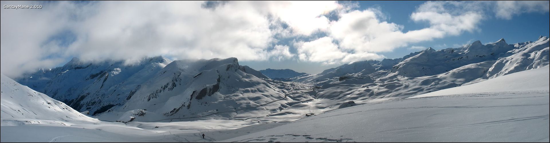
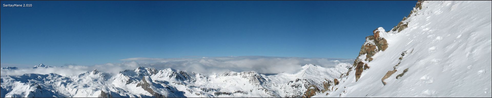
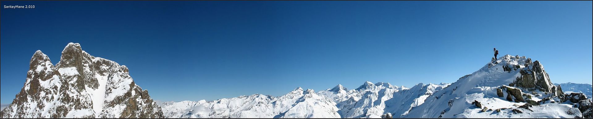
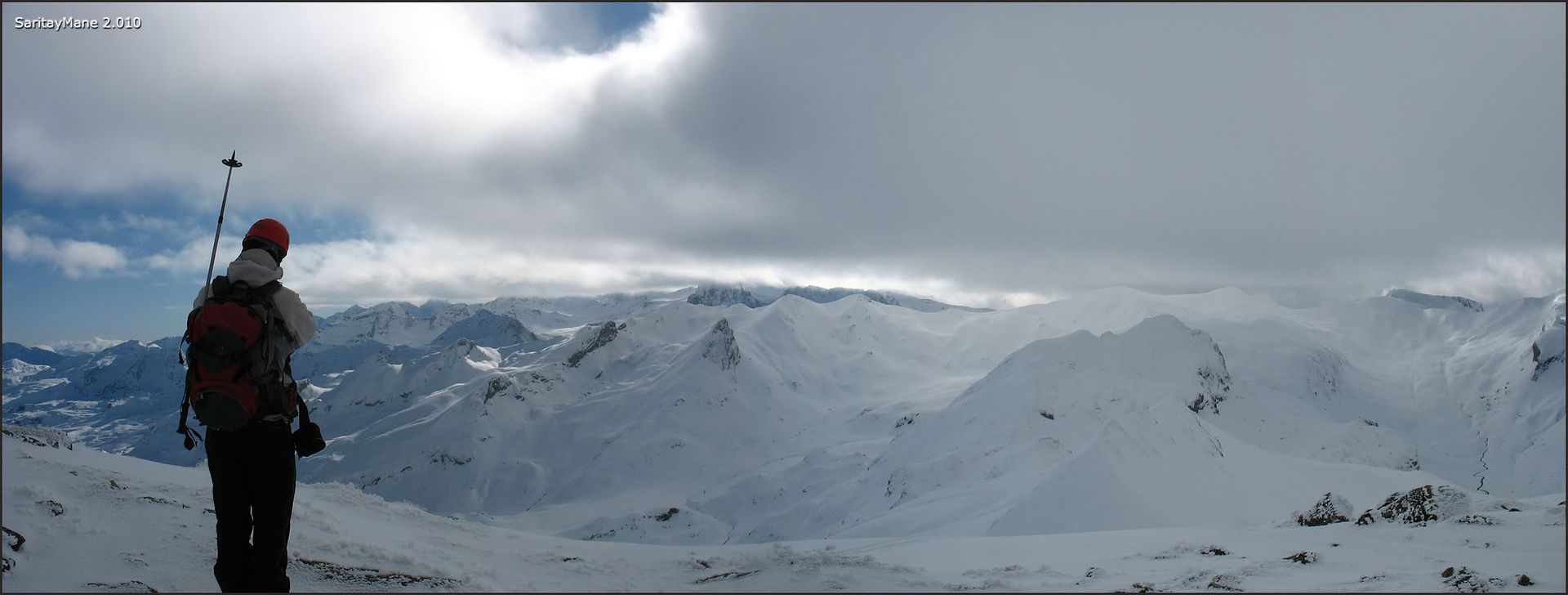
... a pan picture, shooting at the Portalet Pass...
... as I move ahead...
... Mane looks like enveloped in a white background...
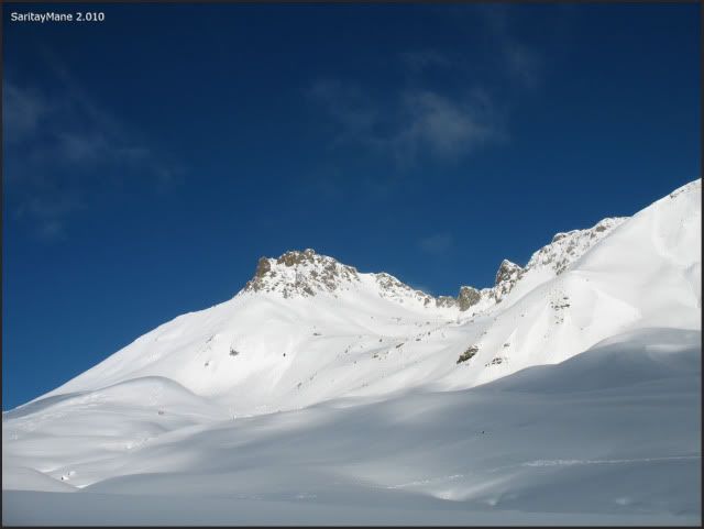
... under a clear blue sky.
By this time, the clouds have dissapeared ...:)
We'd better brought our snowshoes.
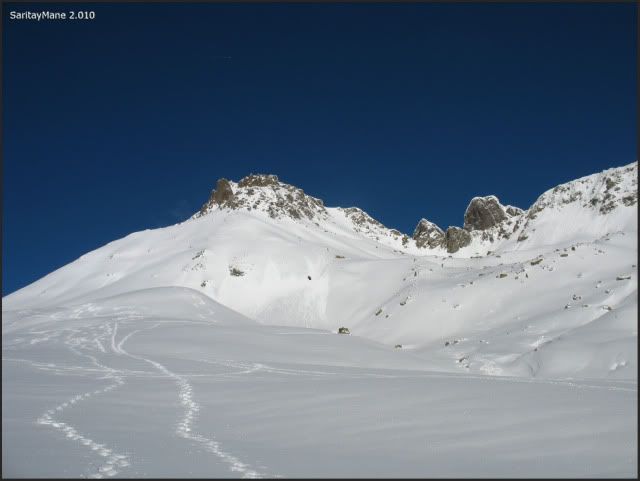
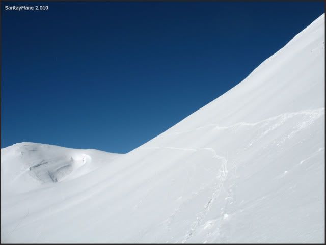
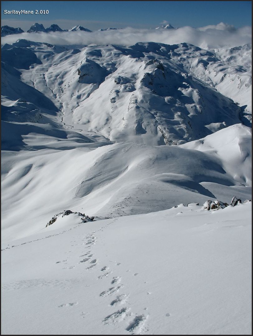
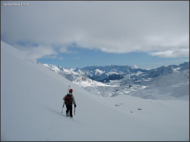
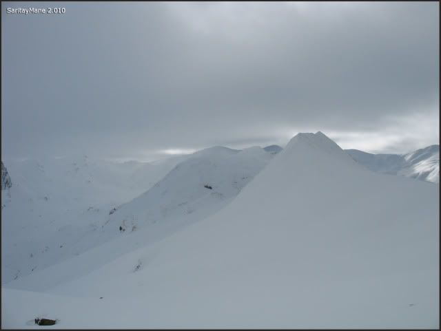
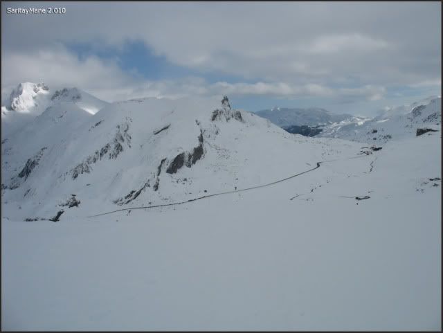
Tendeñera Range, almost entirely...
... surrounding the West Slope of the Peyreget...
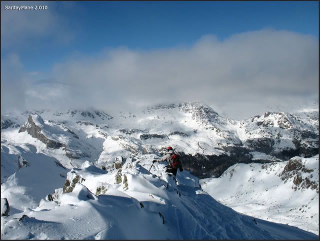
... a french skier descending...
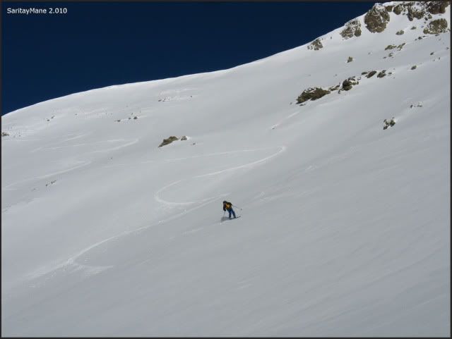
... walking towards the pass named Coll de l'Iou.
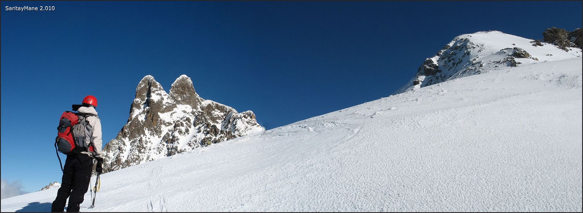
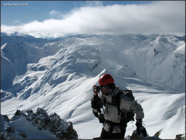
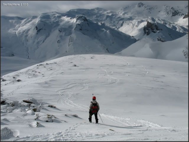
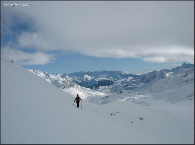
Mane crossing the slope...
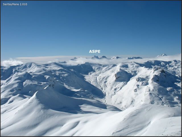
... glancing at ASPE and the 'Llena de la Garganta' Peak.
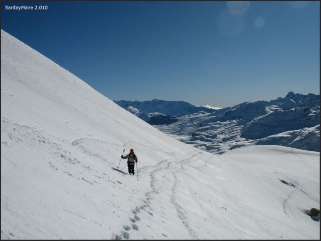
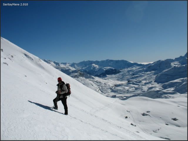
We begin ascending straight through the slope...
... Mane, striving for the ridge.
Seeing the Spanish Pyrenees in the background.
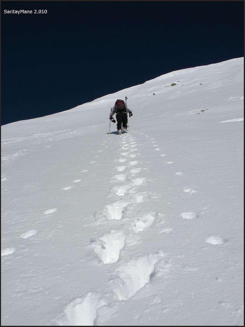
Is time for Mane to make the footprints.
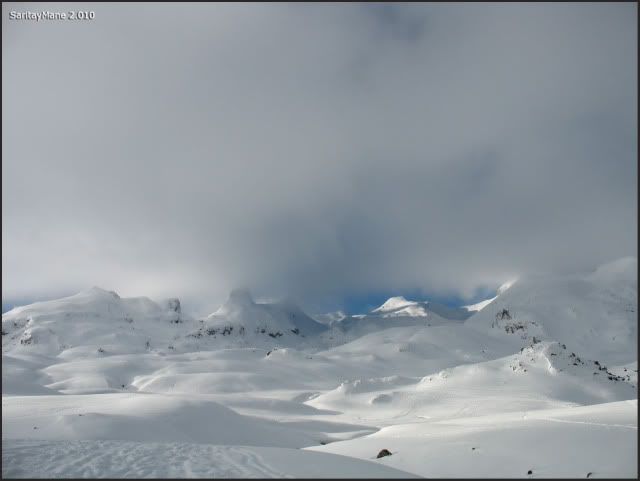
The clouds arise again, but far away...
... moving forward, no rest.
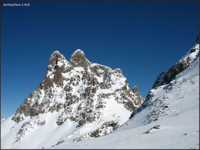
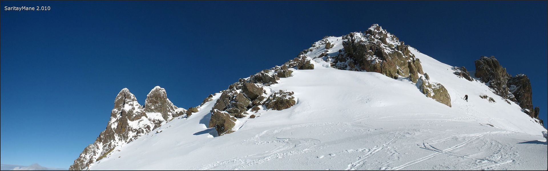
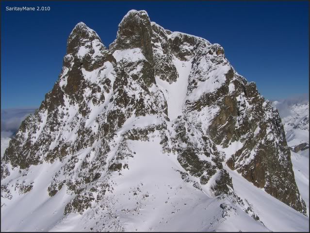
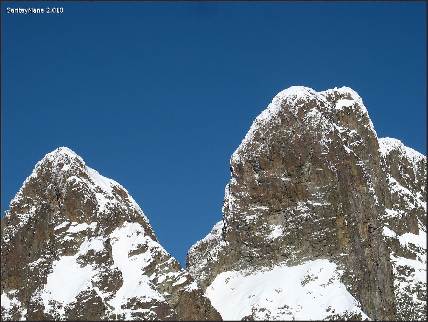
Finally we reach the ridge... and then, suddenly appears the mythic Midi!
By now, we're walking the ridge right to the summit...
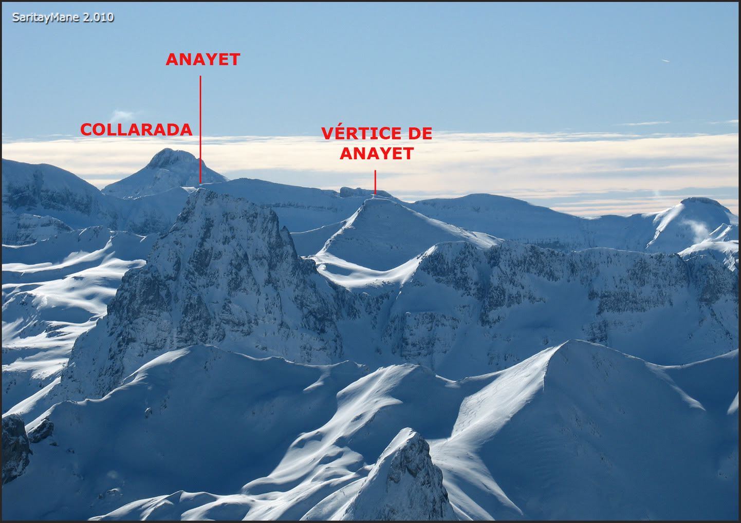
... zooming the volcanic origin Anayet...
... the amazing Peña Telera North Face, with it's gullies and snow corridors.
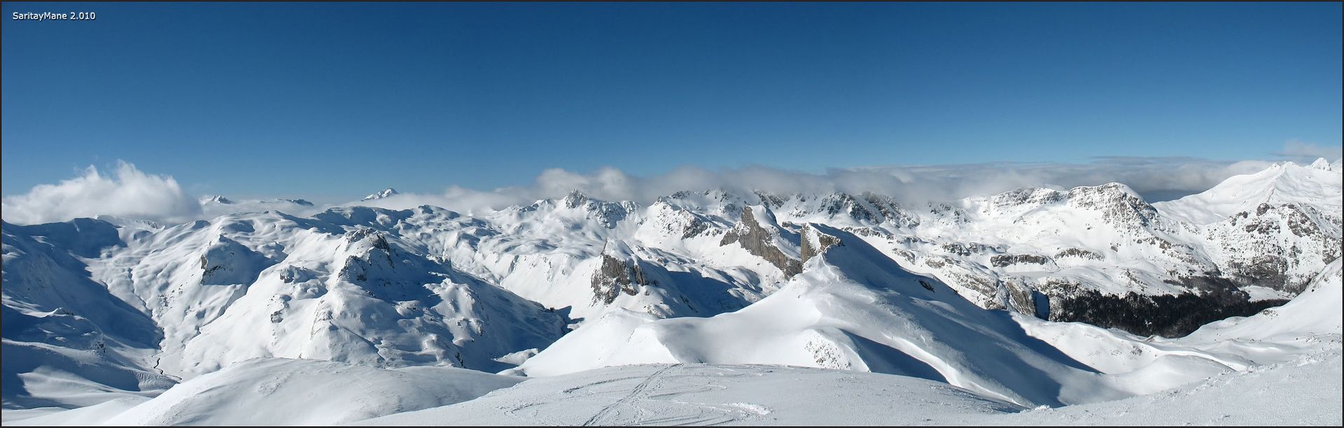
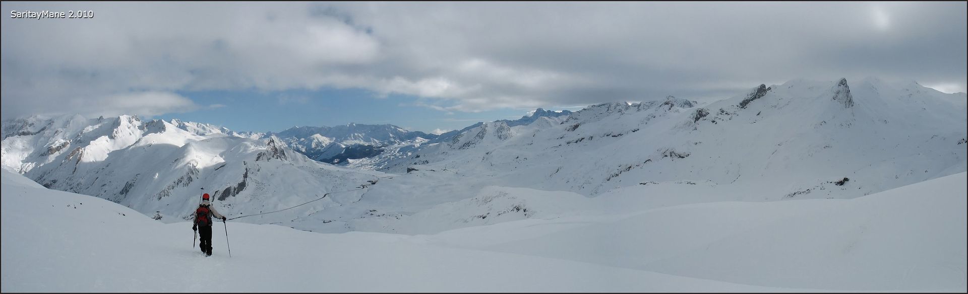
A pan picture Westwards.
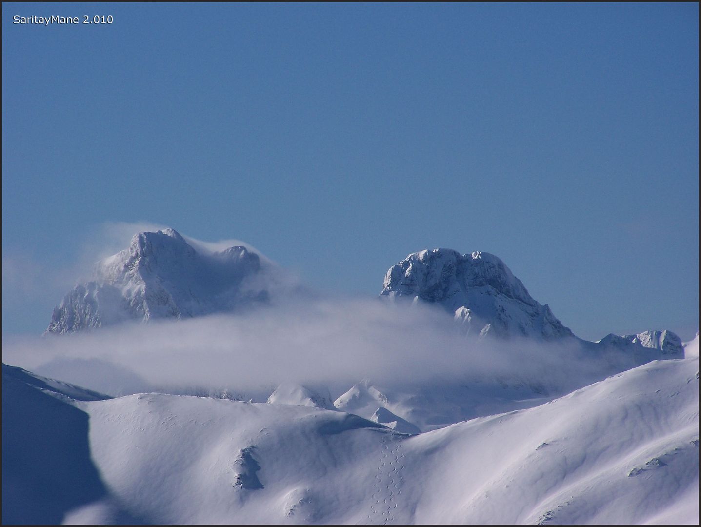
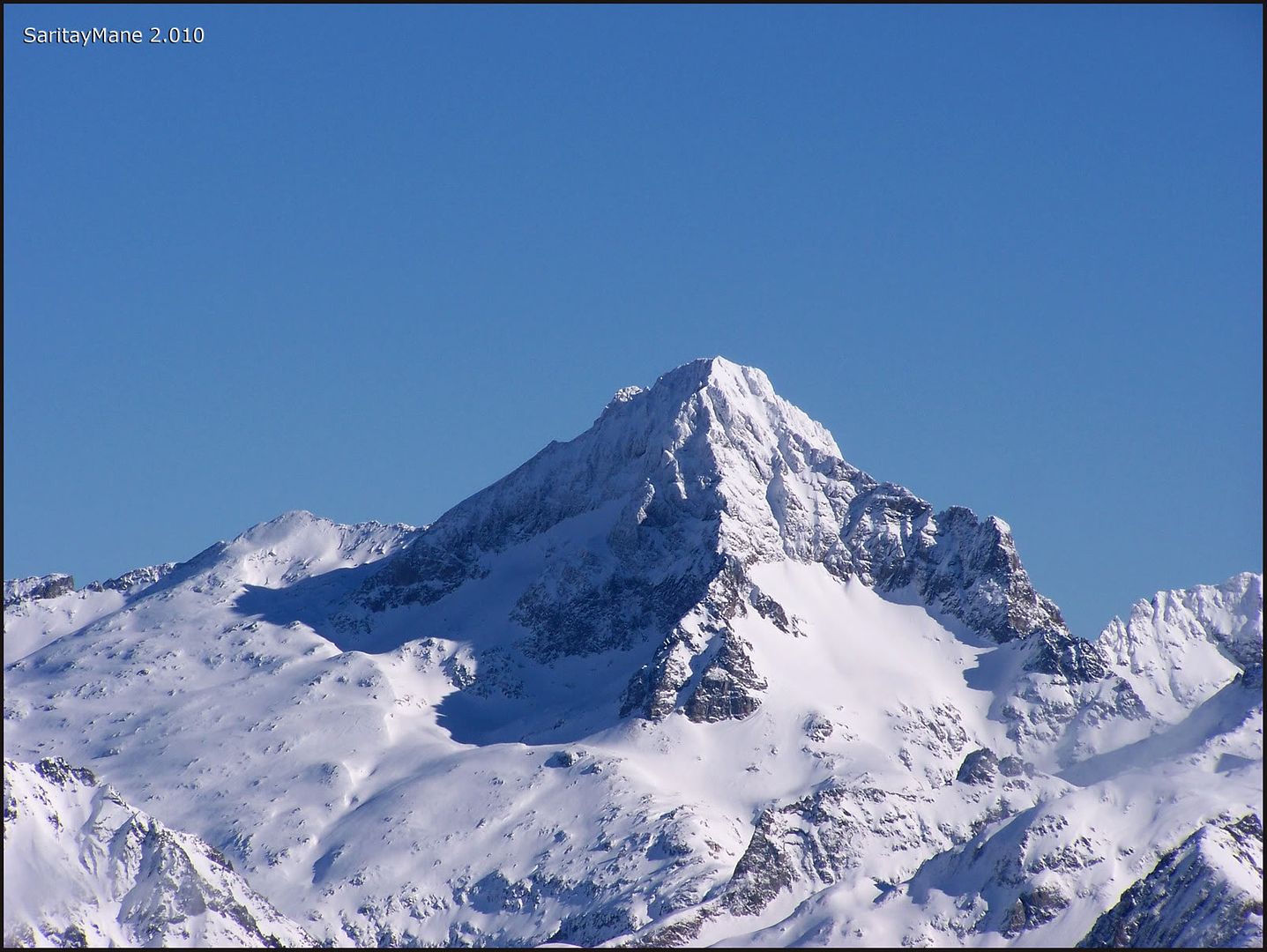
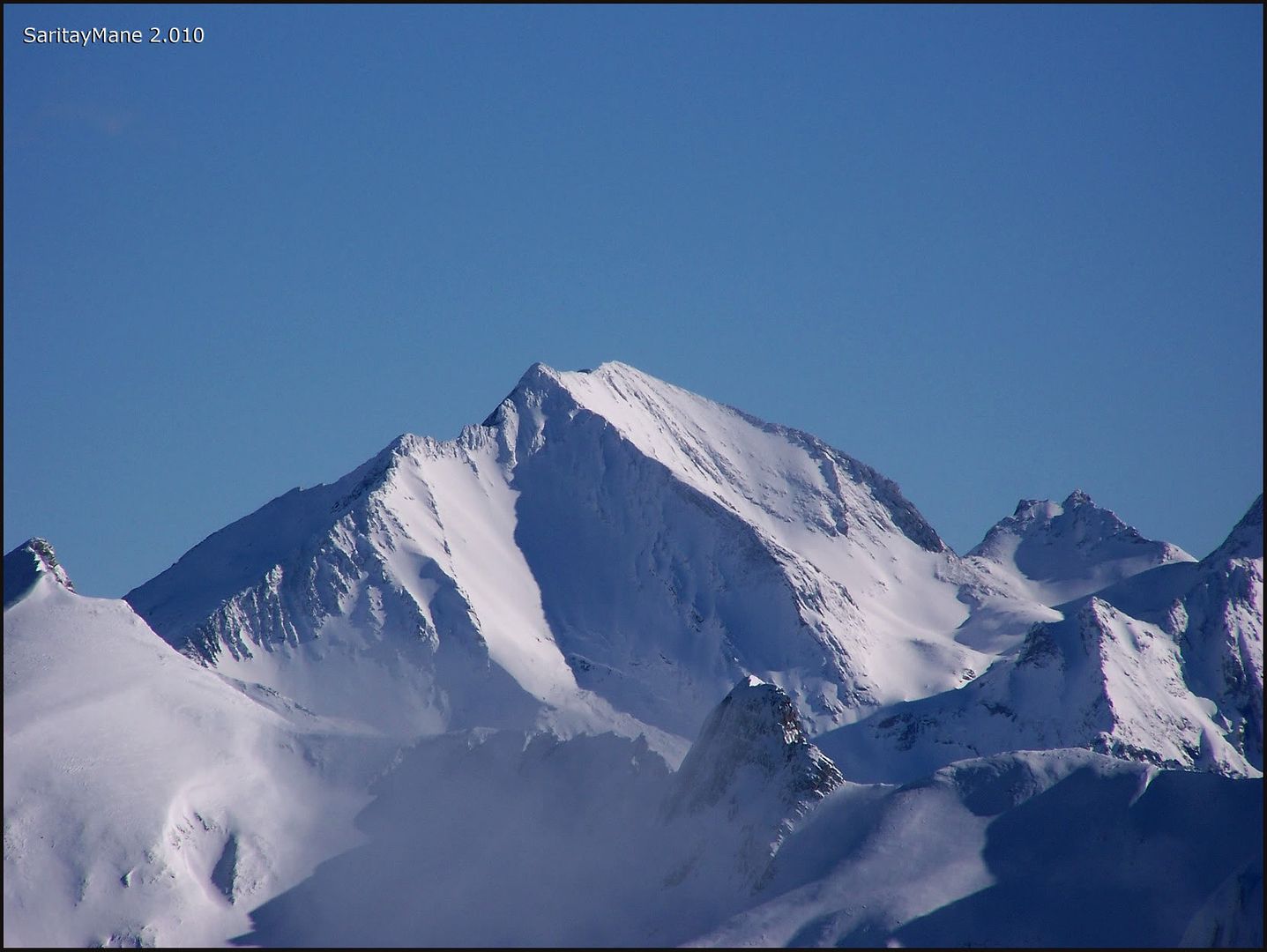
The magnificent Midi!...
... ASPE pointed in the cross-middle of the picture.
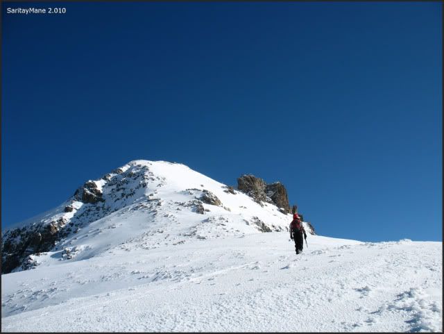
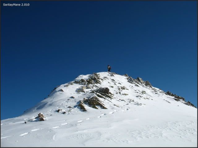
Mane strikes the last slope to the summit...
... and I go his way.
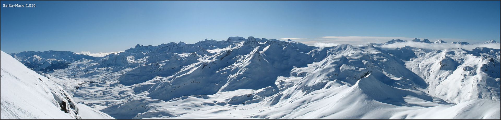
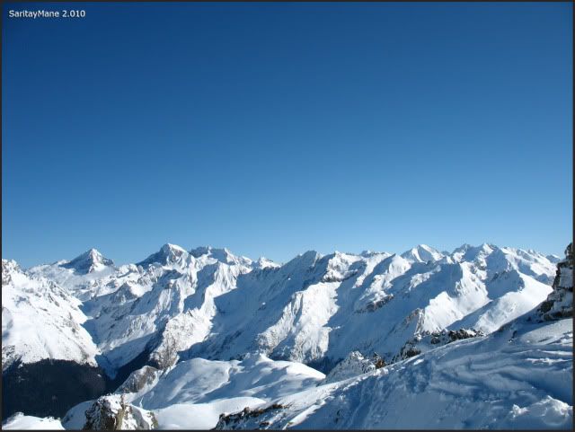
Here, see the full Partacua Range...
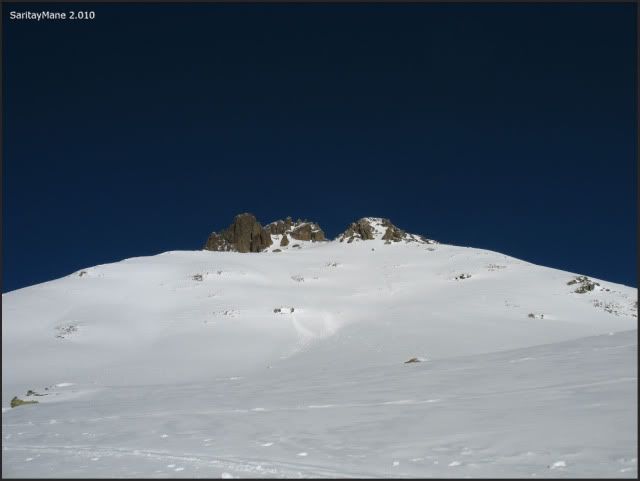
... close to the top.
As the french clouds comes closer.
Looking backwards.
Mane's expecting me to come.
A glance from the Midi to the Peyreget.
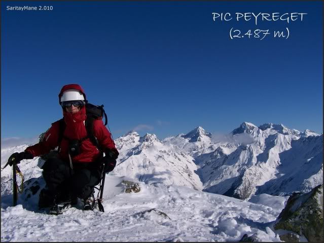
Near 13:30 hours, we're at the very top of the Peyreget Peak!!
Midi d'Ossau on first shot.
Now, a bit closer.
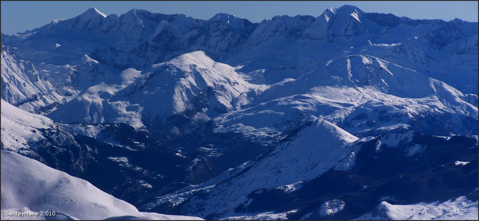
The BALAITOUS and company.
Beautiful Tena Valley.
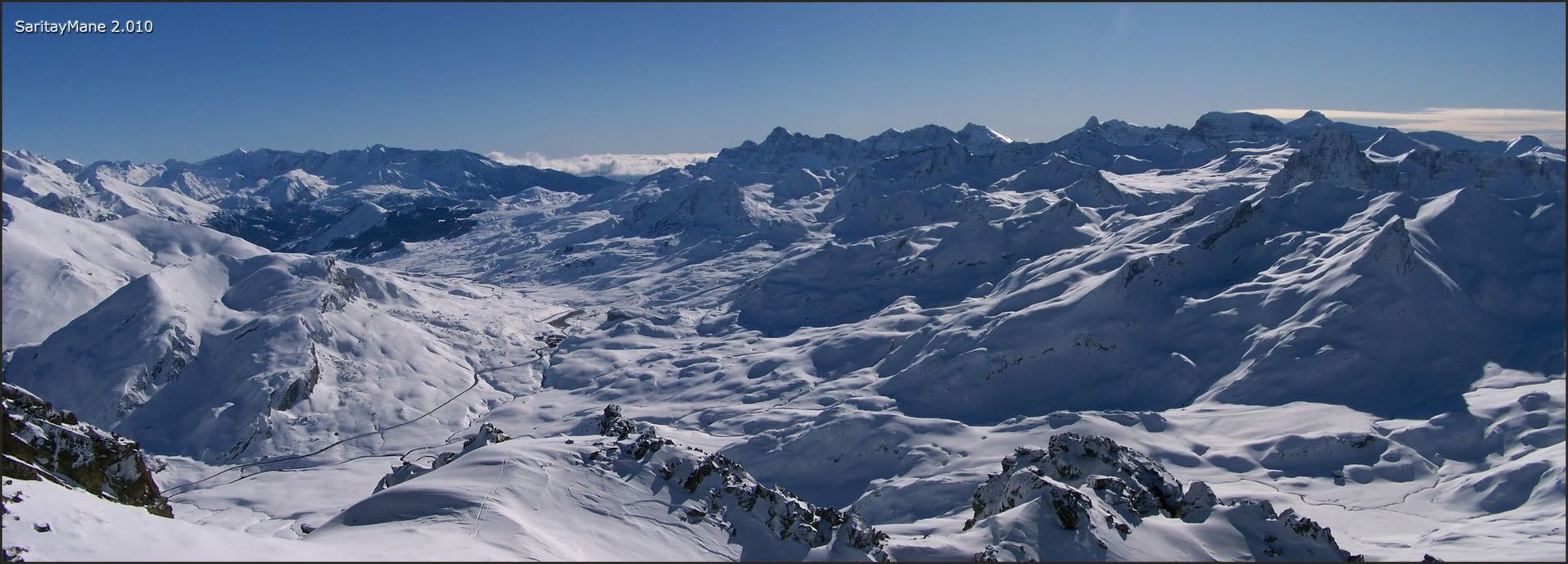
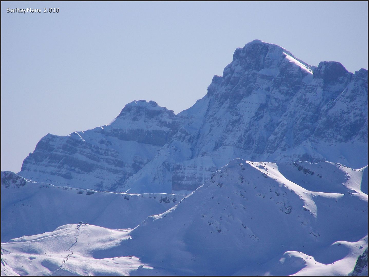
Tendeñera Range.
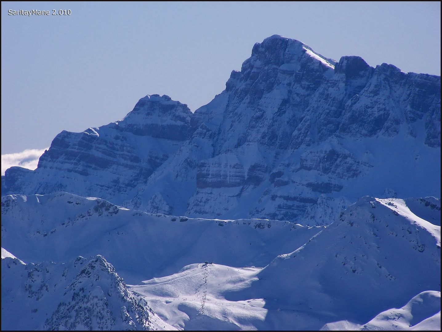
Peña Telera Peak and its famous corridor known as 'Gran Diagonal'.
The COLLARADA PEAK a bit closer.
A huge white carpet everywhere...
... all around.
A 360º pan picture.

The Palas Peak.
The BALAITOUS and Frondellas Peaks.
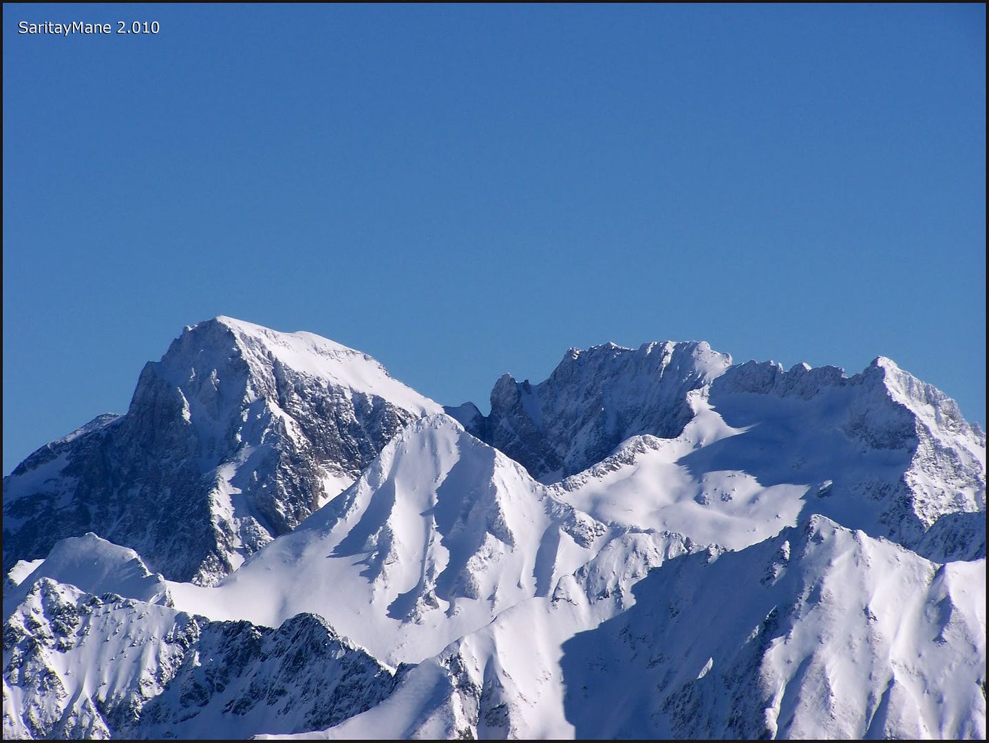
The group MASKARELL name as 'The Panticosa Nine'.
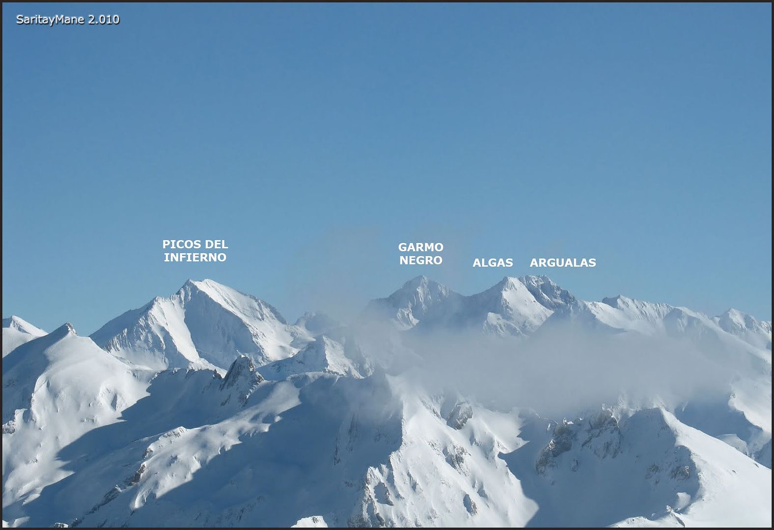
The group of PICOS DEL INFIERNO.
The GARMO NEGRO - ALGAS and Argualas Peaks.

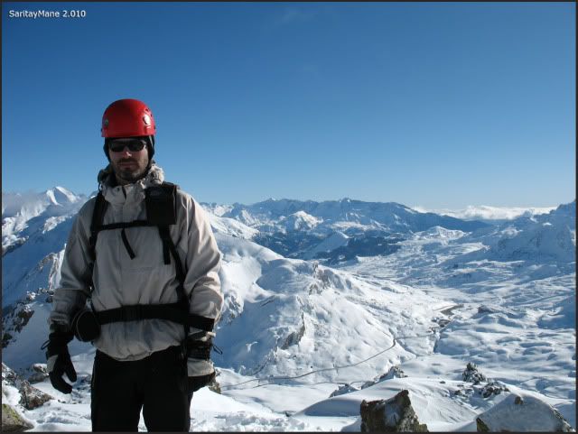
Mane posing in front of the Tena Valley.
Pic Peyreget Summit (2.487 m – 8.159 feet).
By this time we feel forzen stiff. It's time to get back.
We'll be back for you...
Mane over the final crest.
Over the ridge to the pass.
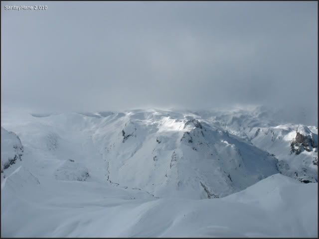
By now, the clouds are again all around.
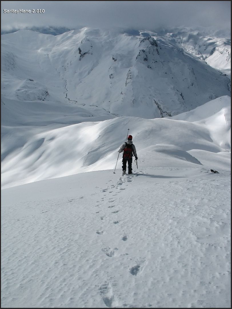
We descend rapidly...
... near the Coll de l'Iou pass.
Clouds wrapping the Midi.
Partacua Range is disappearing...
...the Midi, as well.
Close to the pass.
From now on, we walk again the West Slope.
Cold descending.
I seem absent-minded...
... looking at the sky.
The weather turns definitely bad.
All over the valley.
The last slopes...
... seeing the road to El Portalet Pass.
Mane posing with the Peyreget.
Descending rapidly.
It's really bad now...
... close to the end.
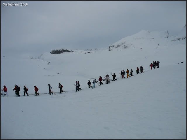
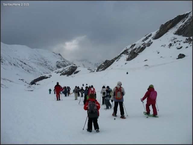
A group of French children having a walk over the snow in this signed day.
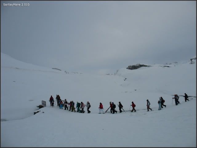
It's alike the Spanish-way-of-life, over the Portalet Pass, where the children are lifted to the top of the ski slopes, enjoying the nature and the multiple disaster caused in the Tena Valley by ARAMON and its skilifts... isn't so? (ironic mode enabled)
In Spain, big fat-ass-chilhood... in french, nature-sport-childhood. It's not the same country at all.
Near the parking.
Finally we get to the car, and begin moving to the Portalet Pass...
... back in the frontier.
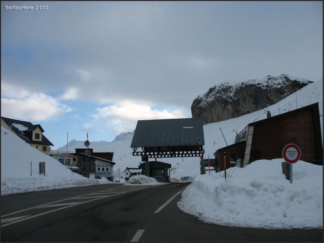
Before get back to Madrid, we take the opportunity to eat something, and do some shopping.
Peña Telera says good-bye.
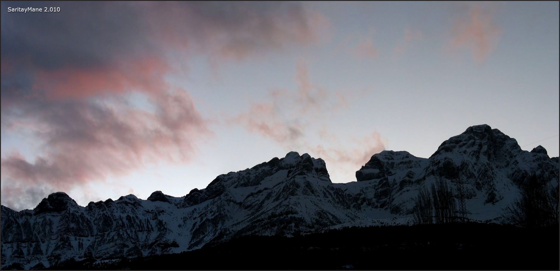
Hope we see you soon.


No hay comentarios:
Publicar un comentario