A nice time to visit Panamá is during the national feasts of the country, known as FIESTAS PATRIAS which takes place in November. The Chiriquí region, in “the inner”, as the Panamanians called it, is one of the greatest natural areas in the country, including large rainforests, unique species, as the beautiful Quetzal bird, landscapes or the highest summits in the country.
So let us to introduce you to the BARÚ VOLCANO, the highest top of Panamá and, by the way, highest summit of the south of Central America. Fortunately, this volcano, has been asleep since year 1.550 AC. It’s situated near the border of the range named Cordillera Central.
First of all, we mention that you might found almost a few information about routes, climbings or hikings in this area. Not to mention the difficulty to find cartography or maps regarding to this. So we’ll intend to give you all the information to visit this marvellous place and climb this volcano easily and secure. This route use a long track that will lead you near the summit of the volcano, so it’s very easy to follow.
During this climbing you shall cross out three different summits:
- SOUTH PRE-SUMMIT OF BARÚ VOLCANO O VOLCÁN BARÚ (3,455 m – 11,335 ft)
- BARÚ VOLCANO O VOLCÁN BARÚ (3,475 m – 11,400 ft)
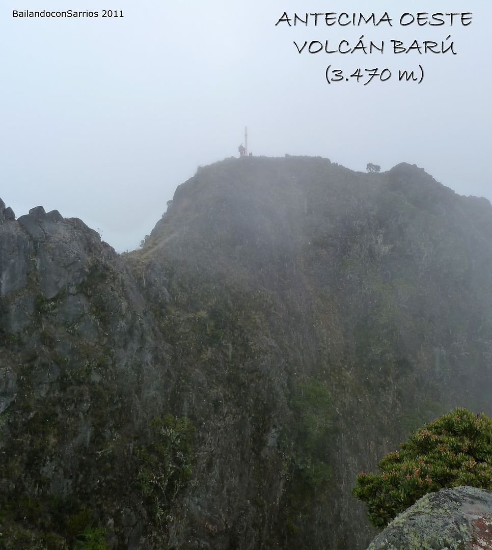
- WEST PRE-SUMMIT OF BARÚ VOLCANO O VOLCÁN BARÚ (3,470 m – 11,384 ft)
Spanish version in this link: VOLCÁN BARÚ (3.475 m)
IMORTANT ADVICE
Check out some of the tips given in this other article, currently is in Spanish: PANAMÁ
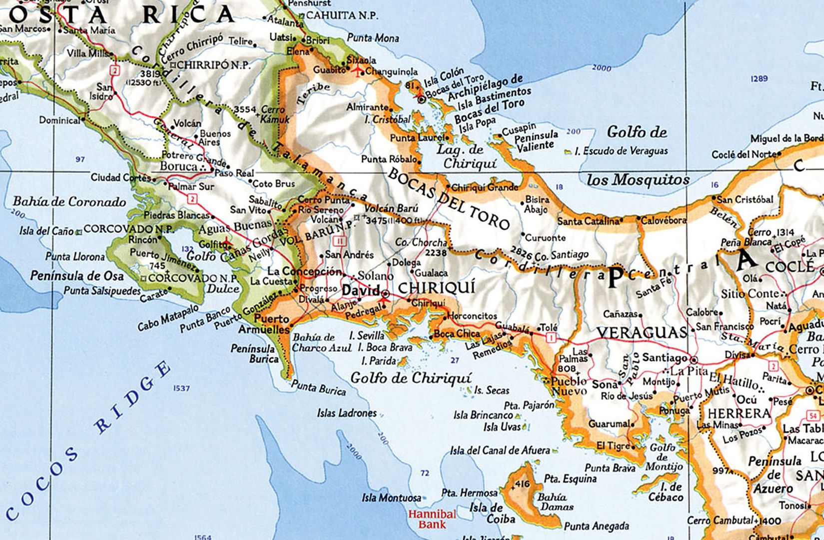
SITUATION
Barú Volcano o Volcán Barú National Park. Central Volvanic Range. Panamá. Central America.
This source is on line PANAMA24.ORG
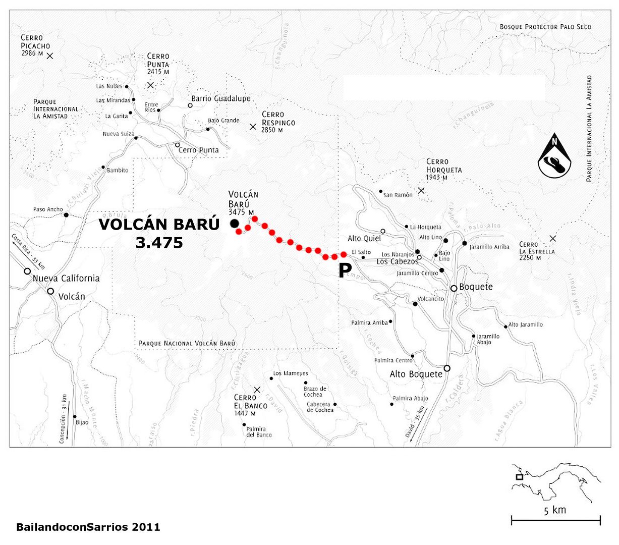
STARTING POINT
Follow the track named “Volcancito Road” till the end of the asphalt. There you may park your car (you can arrive here by car, so you don’t need an off road or a four-wheel-drive vehicle). In addition, if you spend the night in a Hotel or an Inn around Boquete, you can bargain the owner to take you up there.
Drive the main road to Boquete, coming from David. Just after Alto Boquete village, turn on left-hand as arriving to Boquete Visitors Center, so that you shall follow the “Volcancito Road”. Pass through different developments and singular houses on a steep track, with hundreds of potholes, during 15-20 minutes. Finally, find a fork, and turn on left-hand, following the indications to Volcán barú, on a steeper road. As soon as asphalt disappears, you might park your vehicle in the track on your left. Instead, if you drive a four-wheel-drive one, you can save 300-400 m of steep way by following straight forward and parking besides the Ranger Station, so that you’ll pay for this 2 dollars.
To arrive to Alto Boquete or Boquete (Chiriquí, Panamá), see on GOOGLE MAPS.
BIBLIOGRAPHY
El Explorador de Panamá. Author/Editor Valerio Aráuz Aguirre. Freedom Publications, INC.
For further information, search the web on PANAMAEXPLORER.COM
CARTOGRAPHY
Sheet nº 3642-II Series E762 Edition 2-DMATC Volcán 1:50.000 (1977).
Sheet nº 3742-III Series E762 Edition 2-DMATC Boquete 1:50.000 (1977).
Defense Mapping Agency Topographic Center. United States of América.
MAP
This source is on line on ALMANAQUEAZUL.ORG
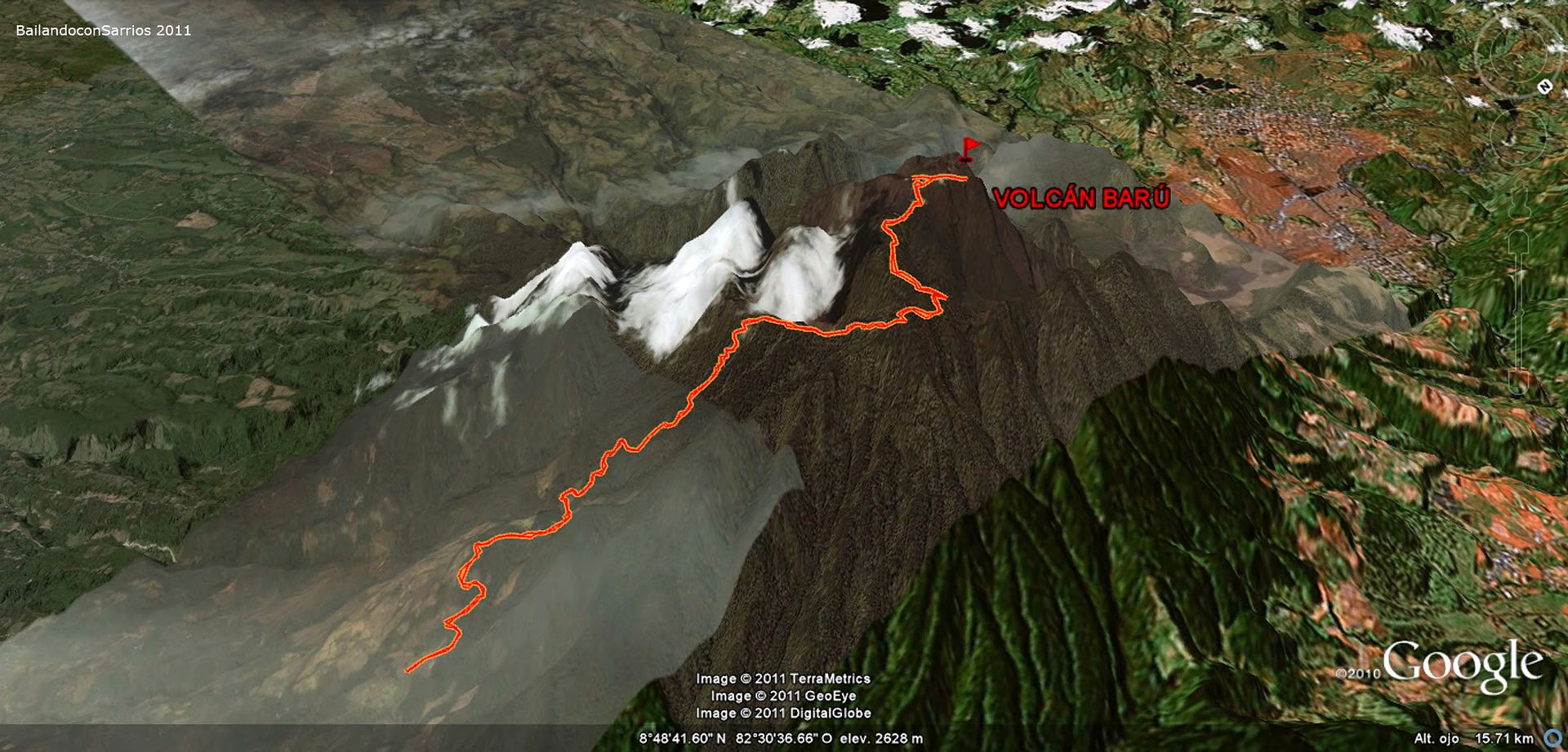
3D MAP
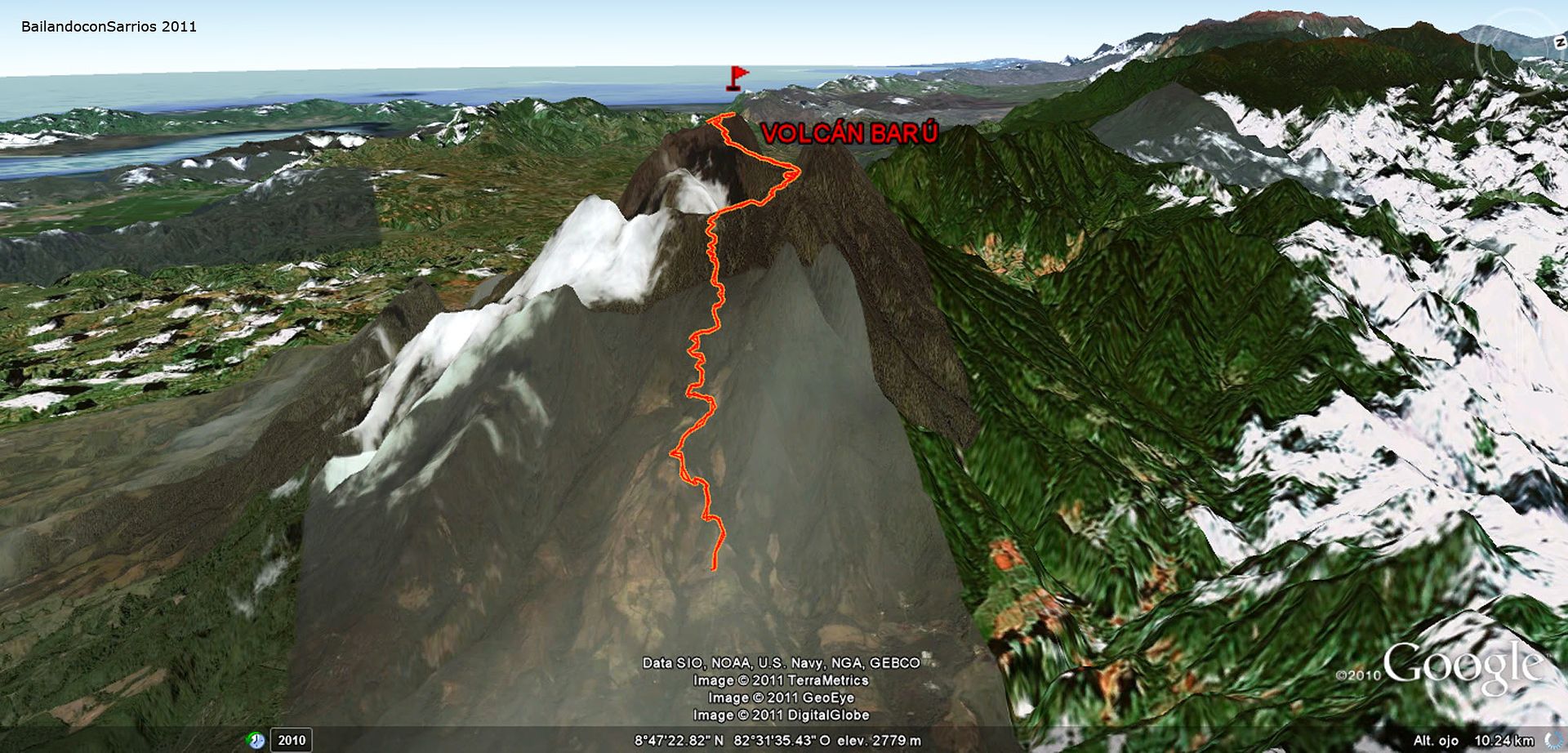
3D MAP
WIKILOC MAP
RESUME
UNEVENNESS: 2,250 meters – 7,382 feet (+/-)
TOTAL DISTANCE: 24 km – 14.9 miles obtained by GPS, 27 km – 16.7 miles acording to ANAM information.
TOTAL TIME: 12:45 hours.
DIFFICULTY: Less difficult.
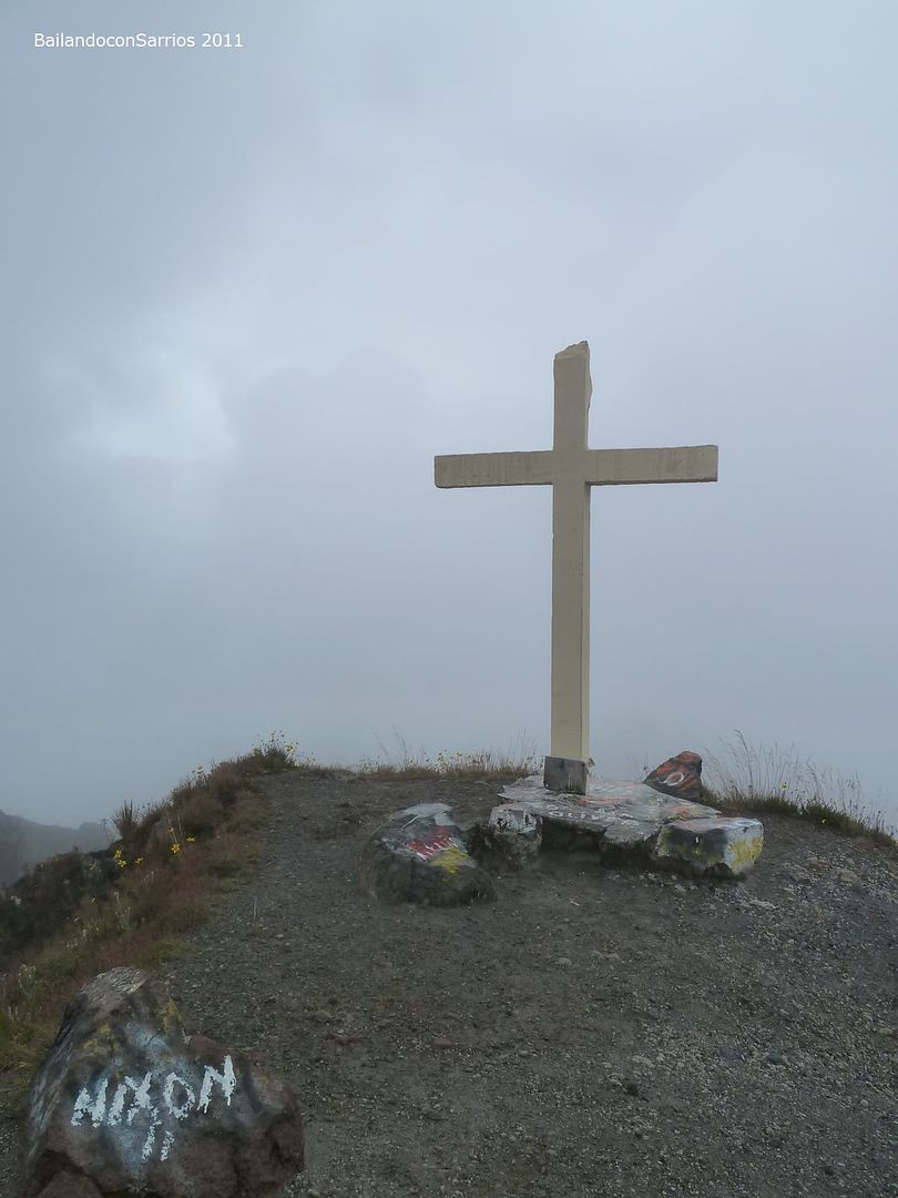
Grade II scrumbling on the ridge to reach the Summit of Barú Volcano. There you shall find a cross.
The big amount of length and unevenness makes this climb a bit more difficult.
The whole of the climb goes on a track and a pathway.
GEARS: Raincoat and even an umbrella should be handy.
WATER SOURCES: There are no springs nor any water source along the way.
GPS TRACK LOG
Click on: WIKILOC 20111104 VOLCÁN BARÚ
THE CLIMBING
Starting from Panamá outskirts, we’ll get through the inner landscapes of Panamá, along its main route, also known as “La Panamericana”.
It’s usual to get yourself requested for identification. Actually, in the wastelands of the very heart of Chiriquí province, between Santiago and David, there’s a long lonely way with a sort of police station where Nacional Police can request your ID, specially when moving towards west.
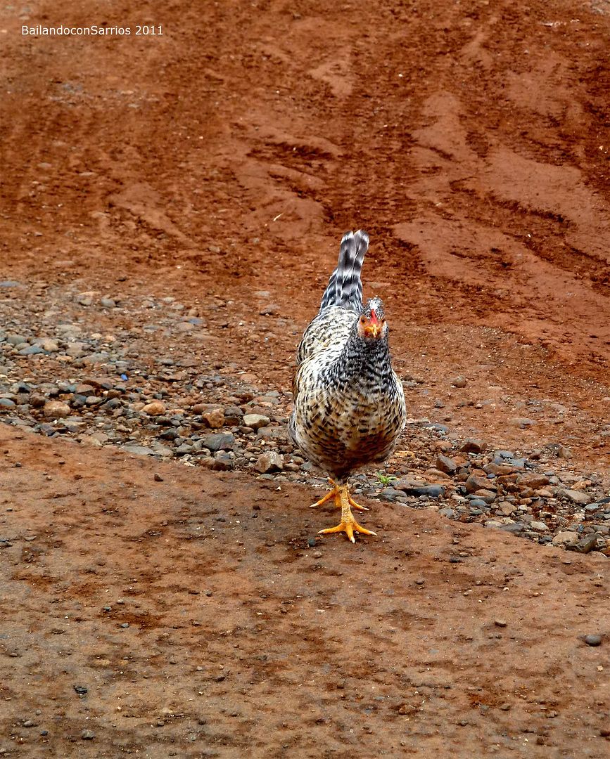
Chicken spotted run...
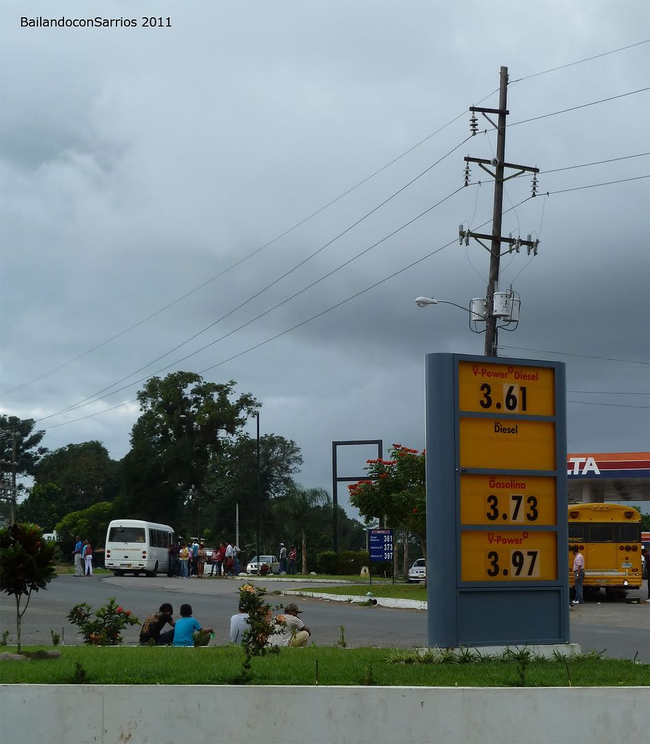
... flilling up with gasoline close to the Panamericana.
Once in David you shall find many shops with all kind of stuff, but the most important: hiking, trekking or climbing equipment. But for the rest, you’ll find no trouble in getting anything you need, for instance, check out FARMACIAS ARROCHA, some sort of Harrod’s chain but Panamanian-self-style.
Signposting is not the best quality of this roads, so be warned to find the right deviation to Boquete; so pass through the Mall at the entrance of the city, along with the Friday’s, and as you pass by the Novey shop, there is the cross to Voquete.
Then you drive straight to Boquete and regard the aforesaid about where to take Volcancito Road and where to park.
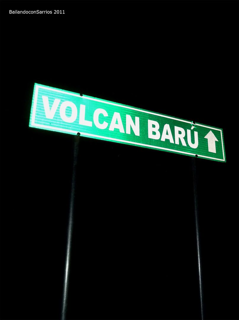
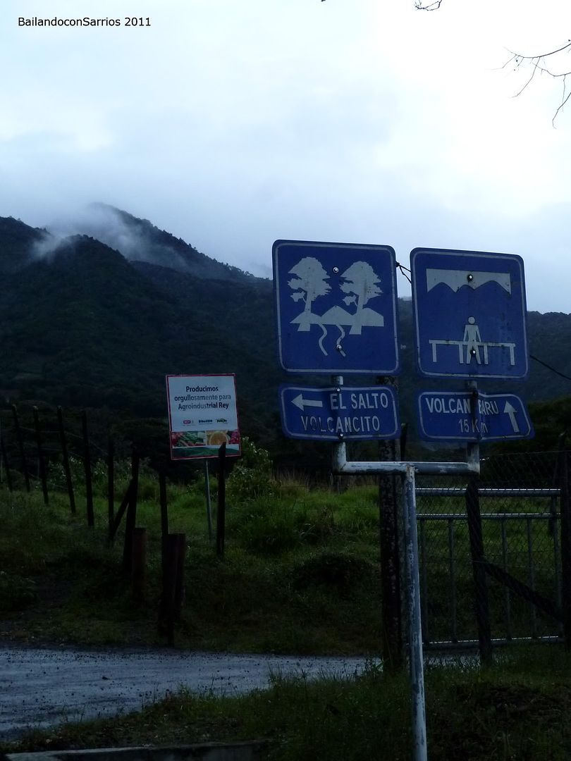
This is the las signpost to Barú Volcano.
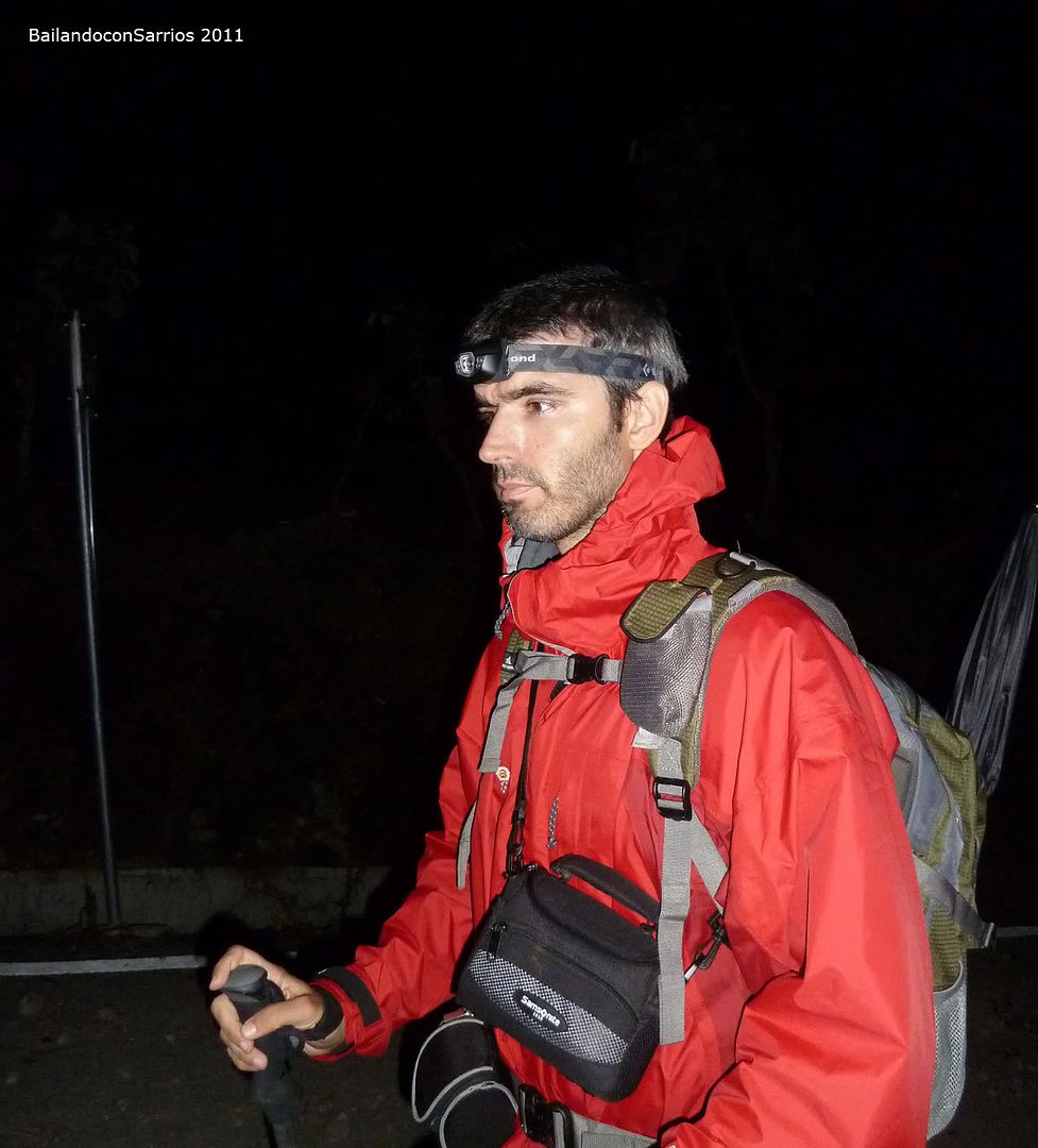
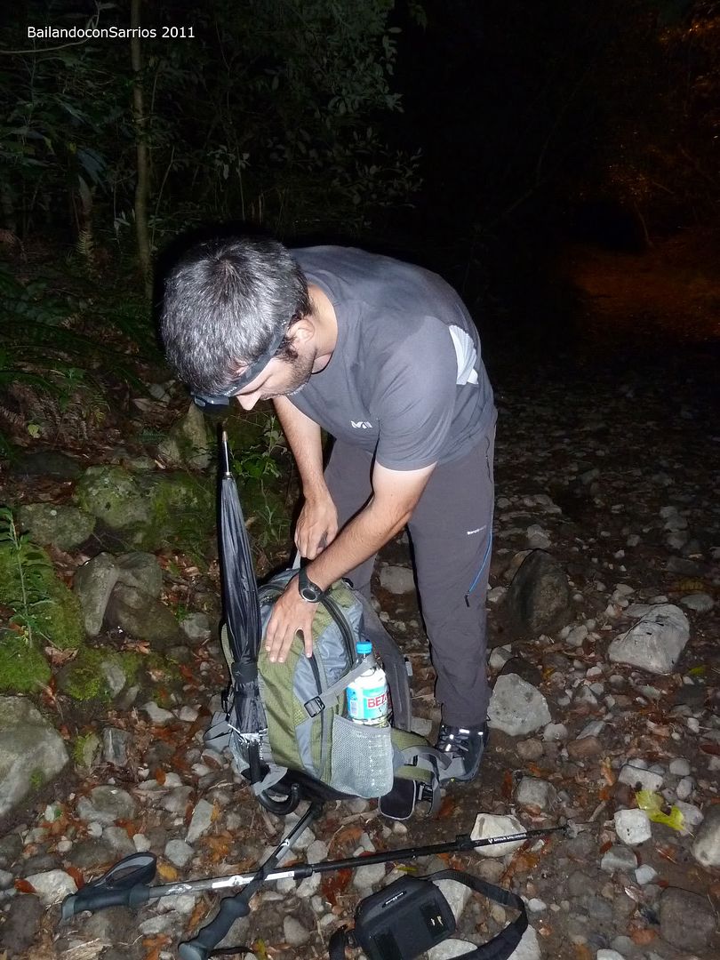
It’s almost 18:45 hrs and we’re making up our backpacks.
We better go to sleep soon and have a some meal before. The weather forecast says light showers to be expected, specially in the second part of the day. This very usual in this part of the year.
The best weather expectation are for January to May. The rest of the year shall be from rainy to stormy, and usually clouded from the noon.
So we’re here, at 3:30 AM waking up and having something for breakfast. We intend to climb before clouds reach the summit.
Still feels a bit drowsy.
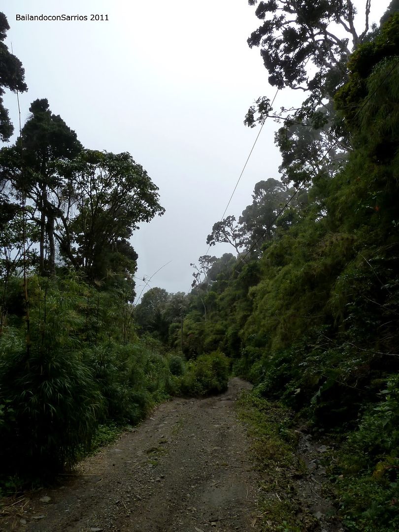
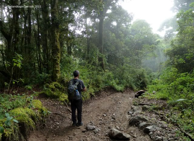
It’s 4:30 AM when we start to walk.
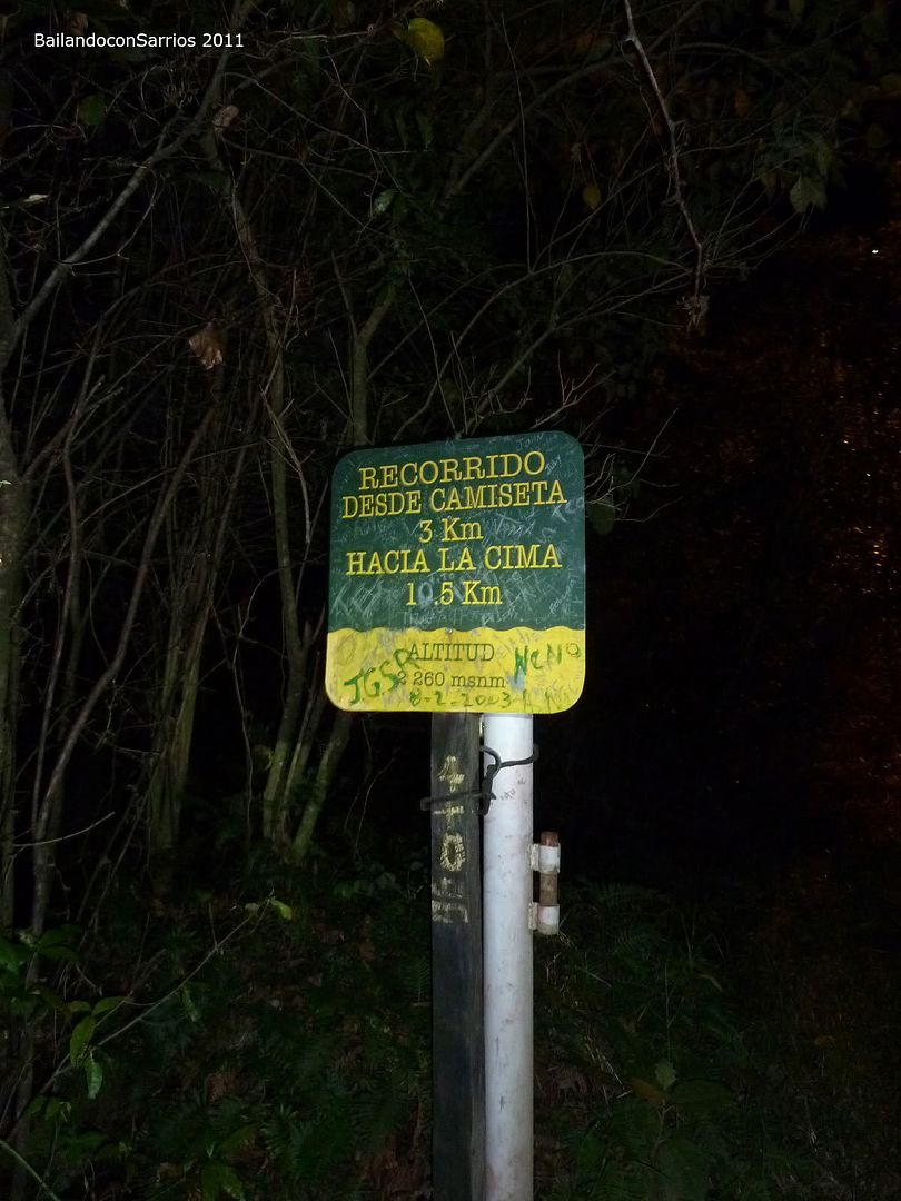
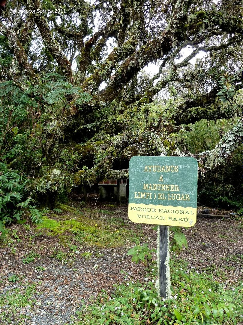
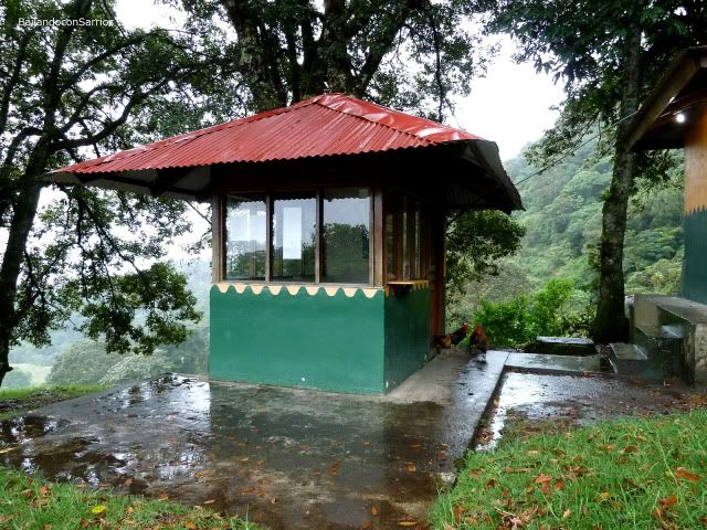
A few meters upwards the steep track we reach the area called “Camiseta”, where you find the ANAM ranger station. There’s where the fee is paid.
National Park Volcán Barú fees are...
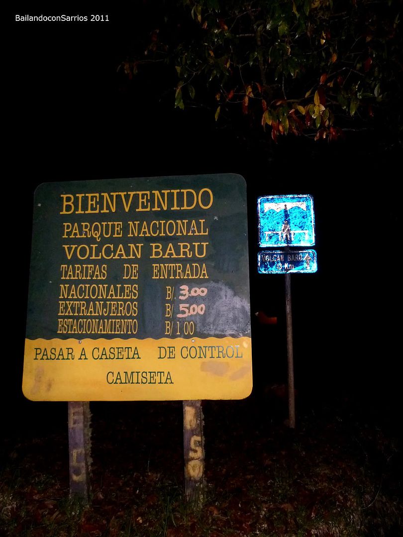
... the toll booth at the ranger station.
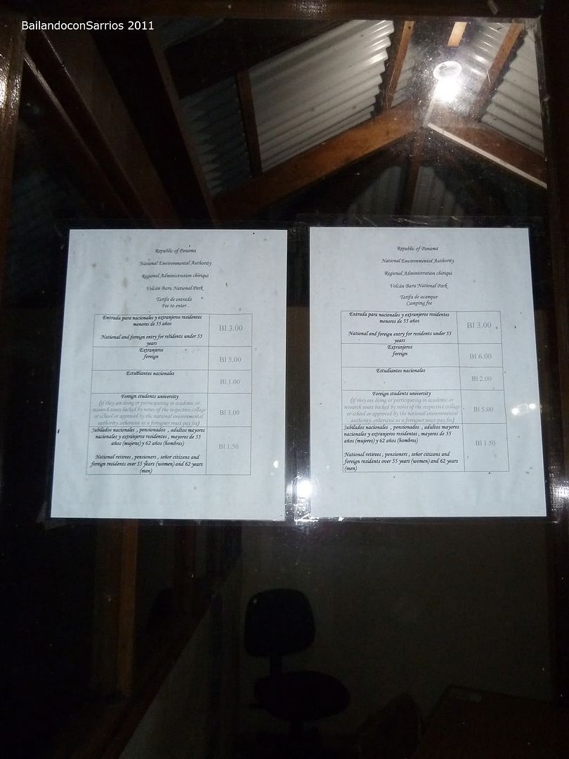
There’s no one inside. So we go on our way up. We’ll pay later if necessary.
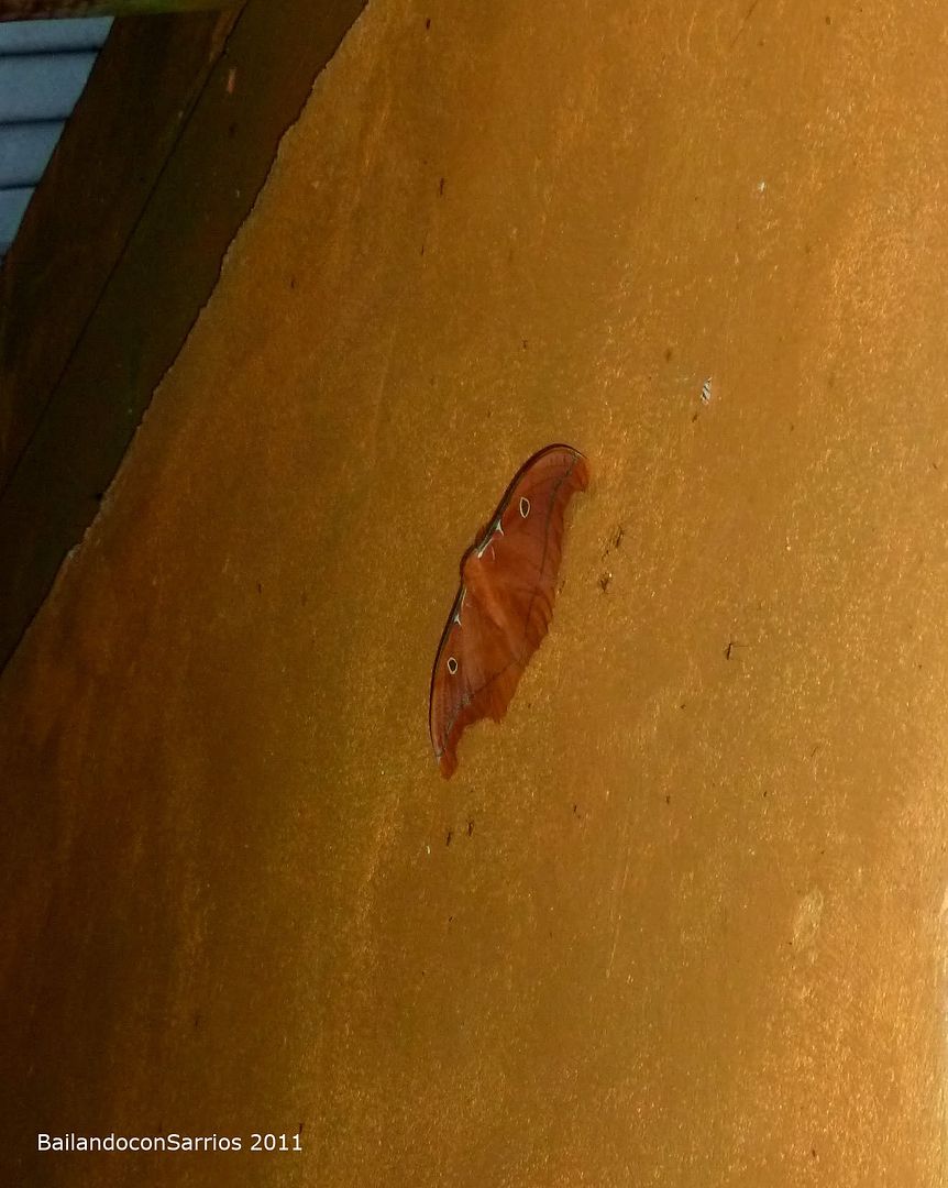
Find this cool moth on the wall.
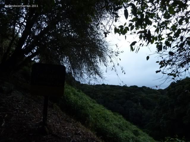
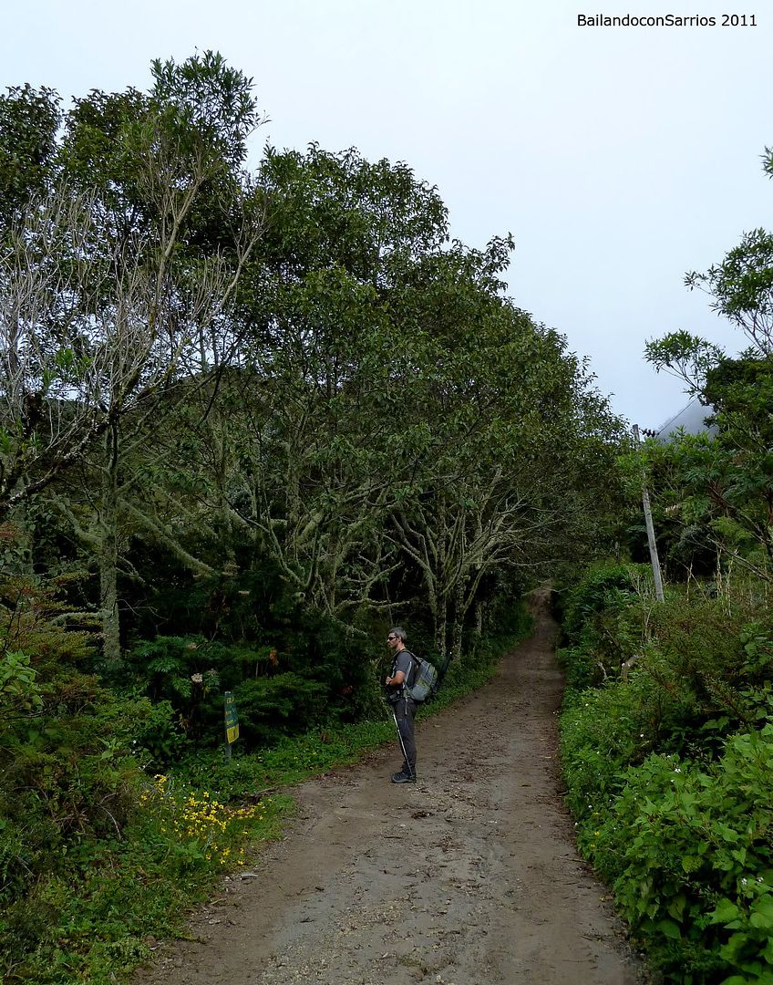
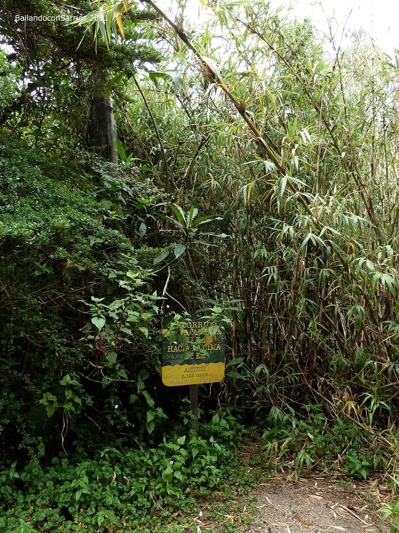
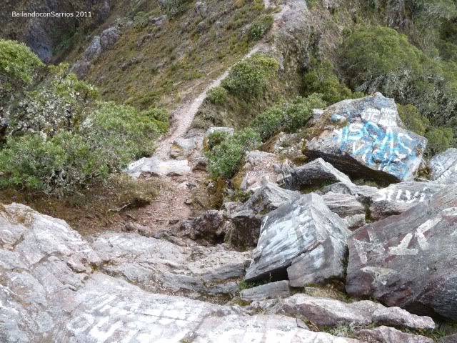
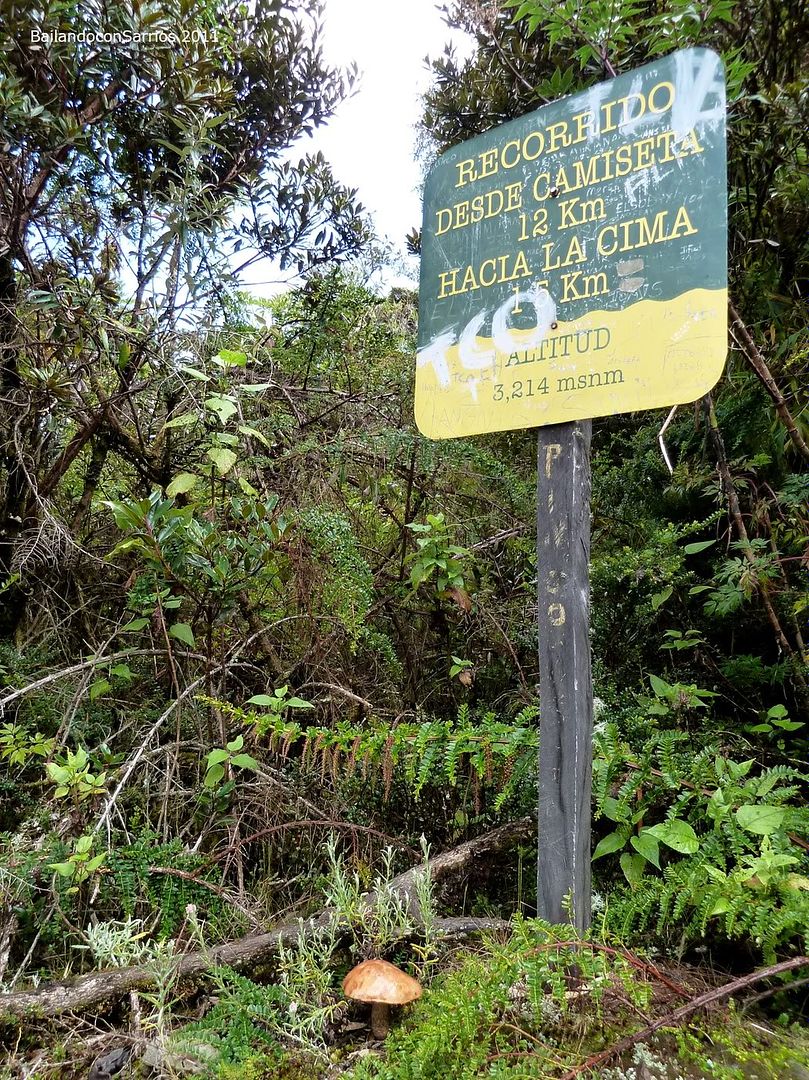
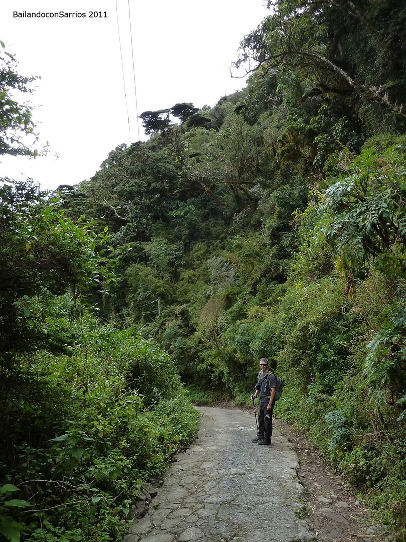
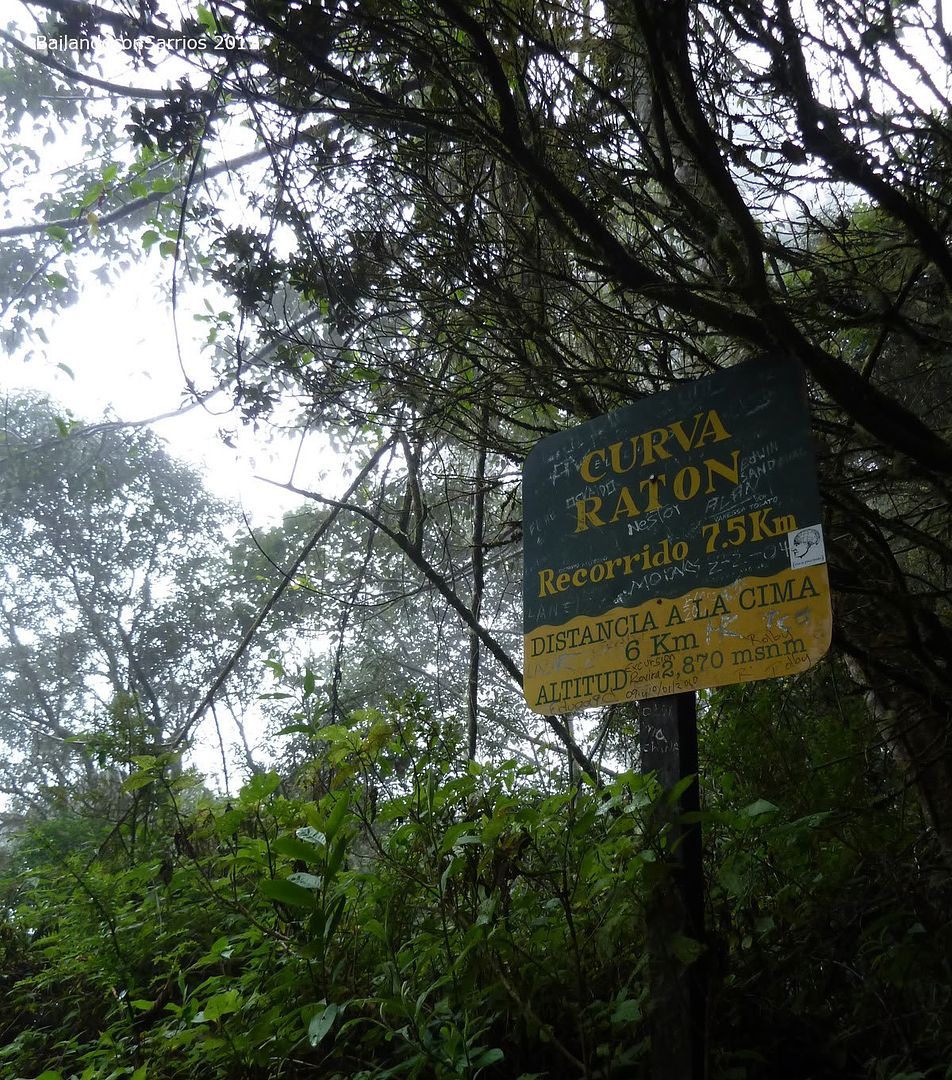
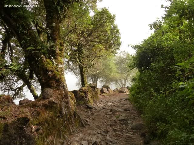
The pathway is signposted all along... there are several milestones like this.
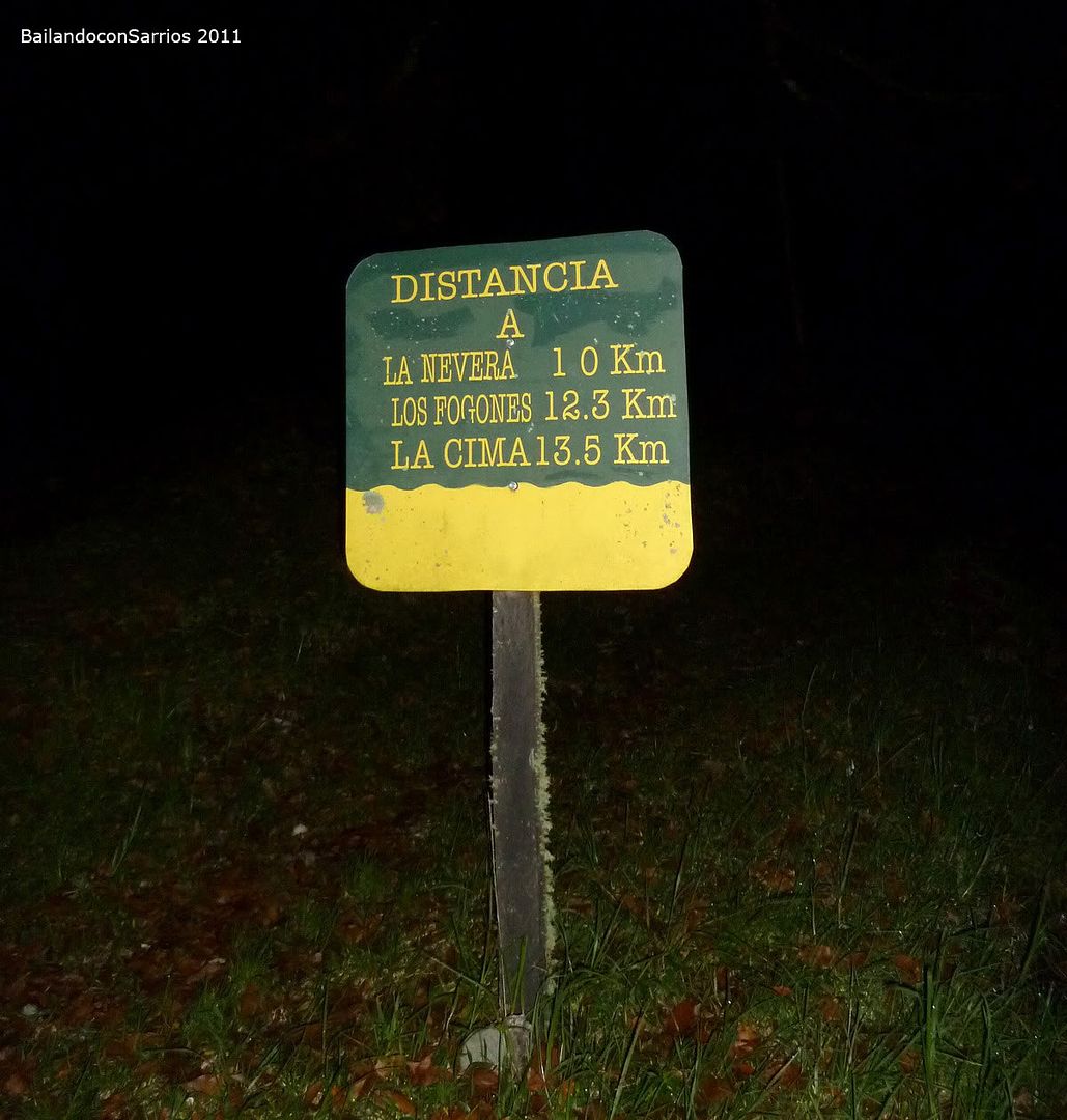
As mentioned on the sign, it remains 13.5 kilometers – 8.4 miles long and 2,000 meters – 6,560 feet unevenness.
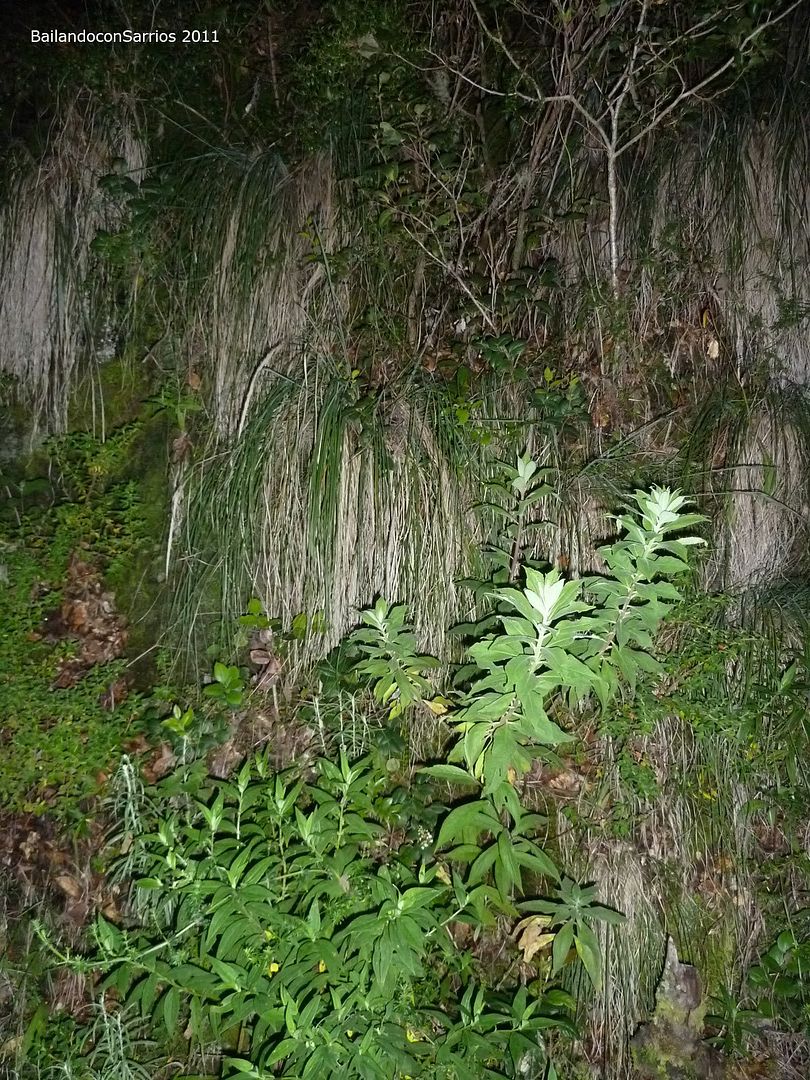
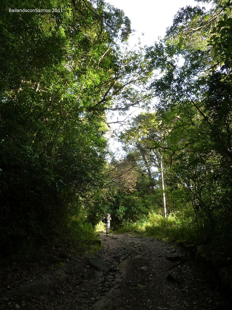
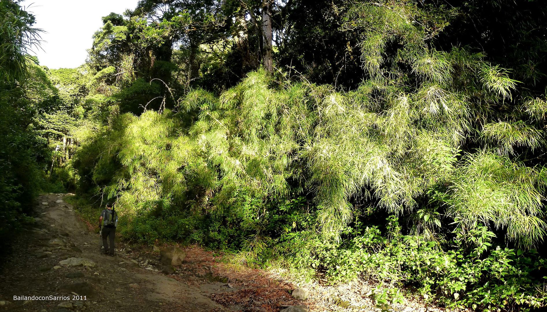
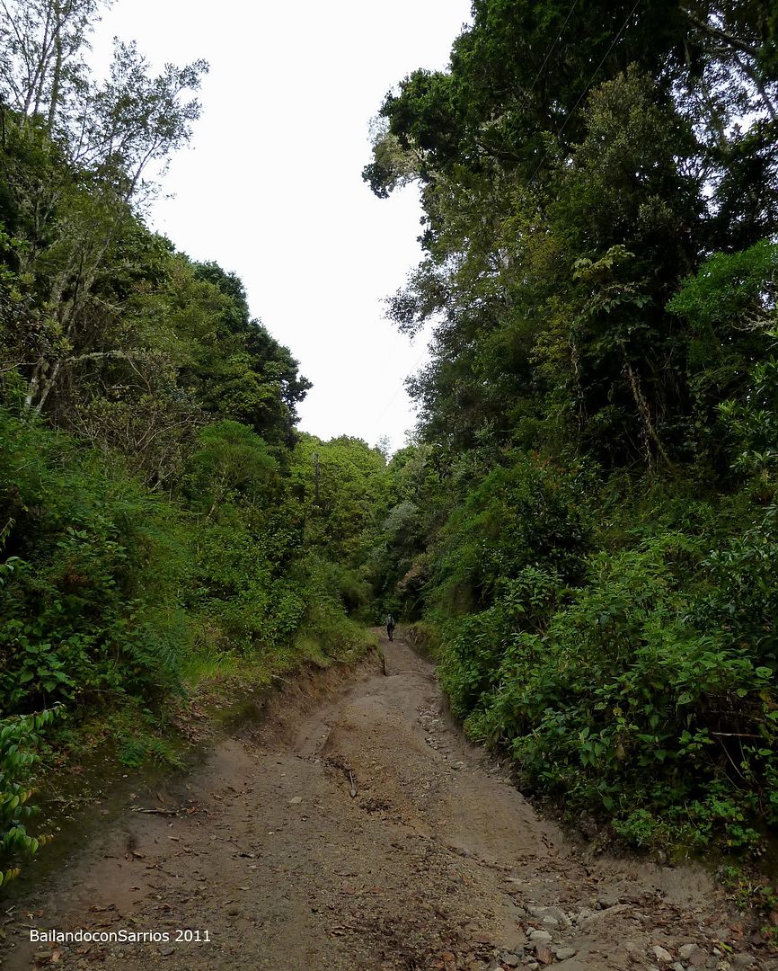
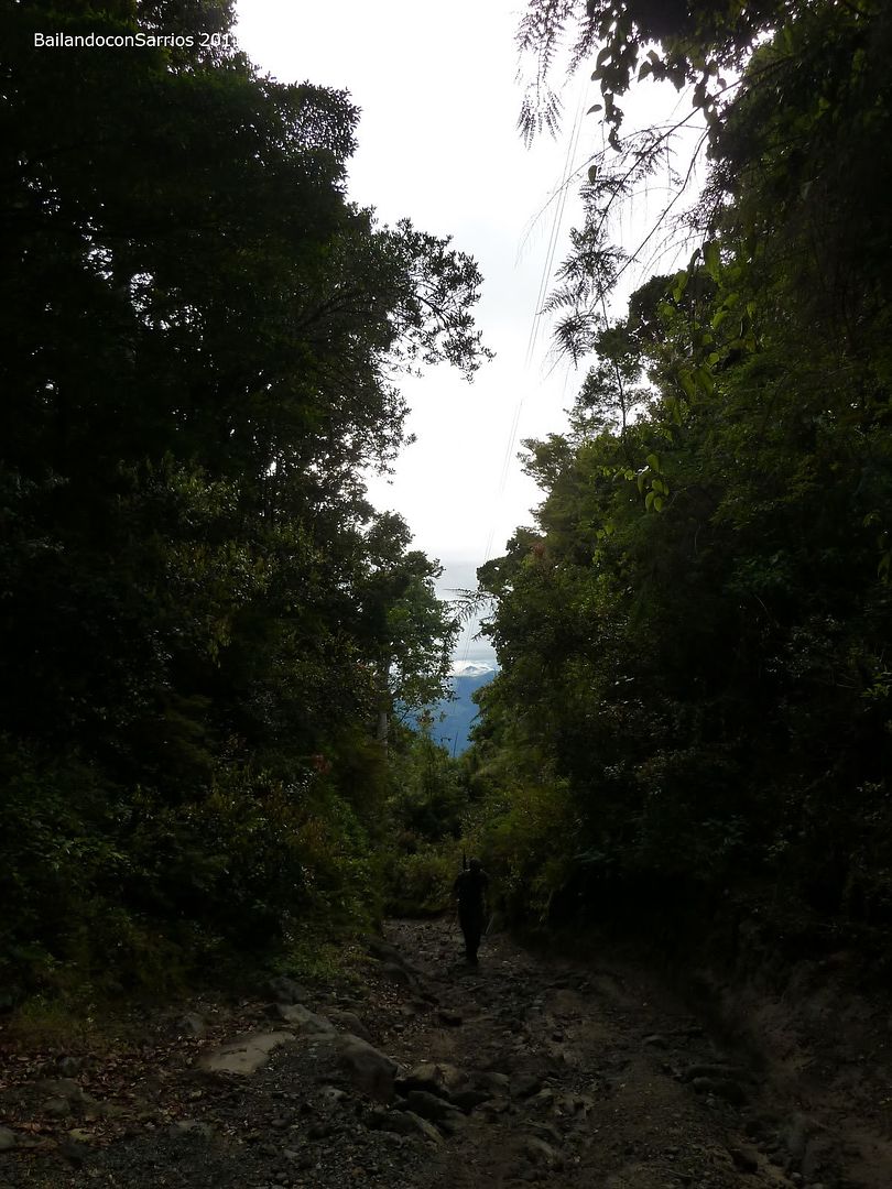
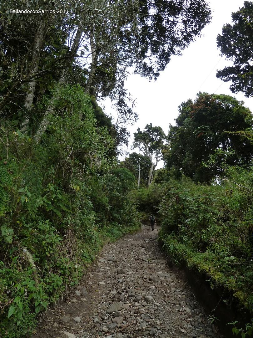
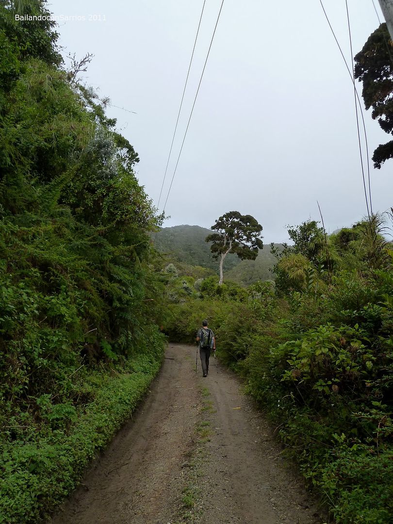
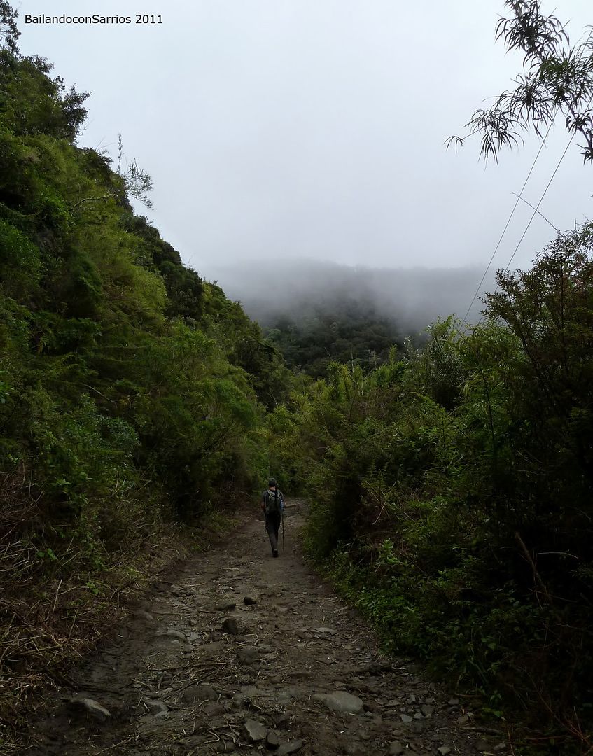
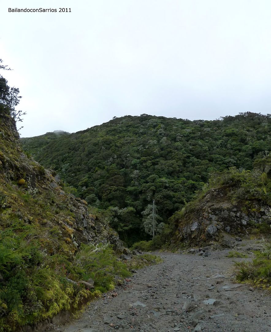
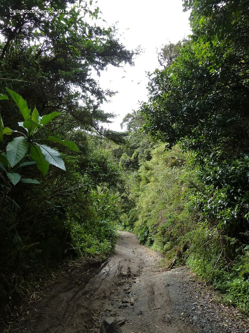
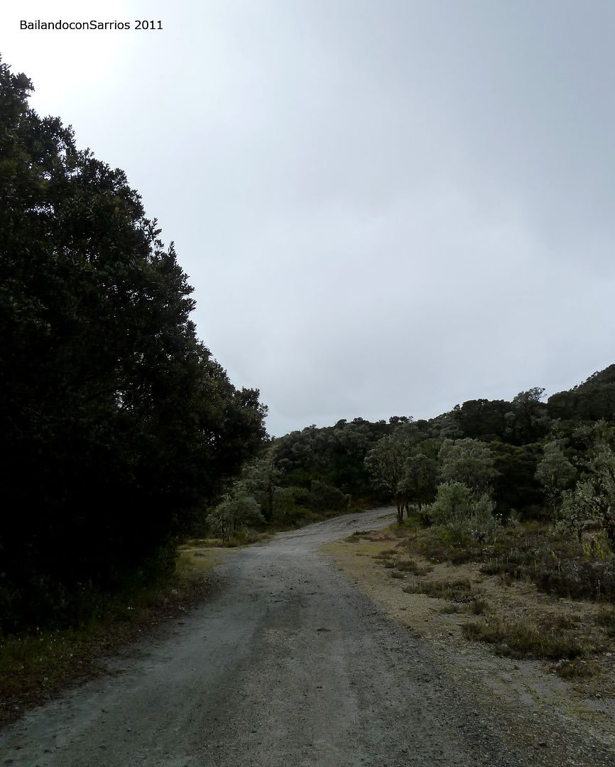
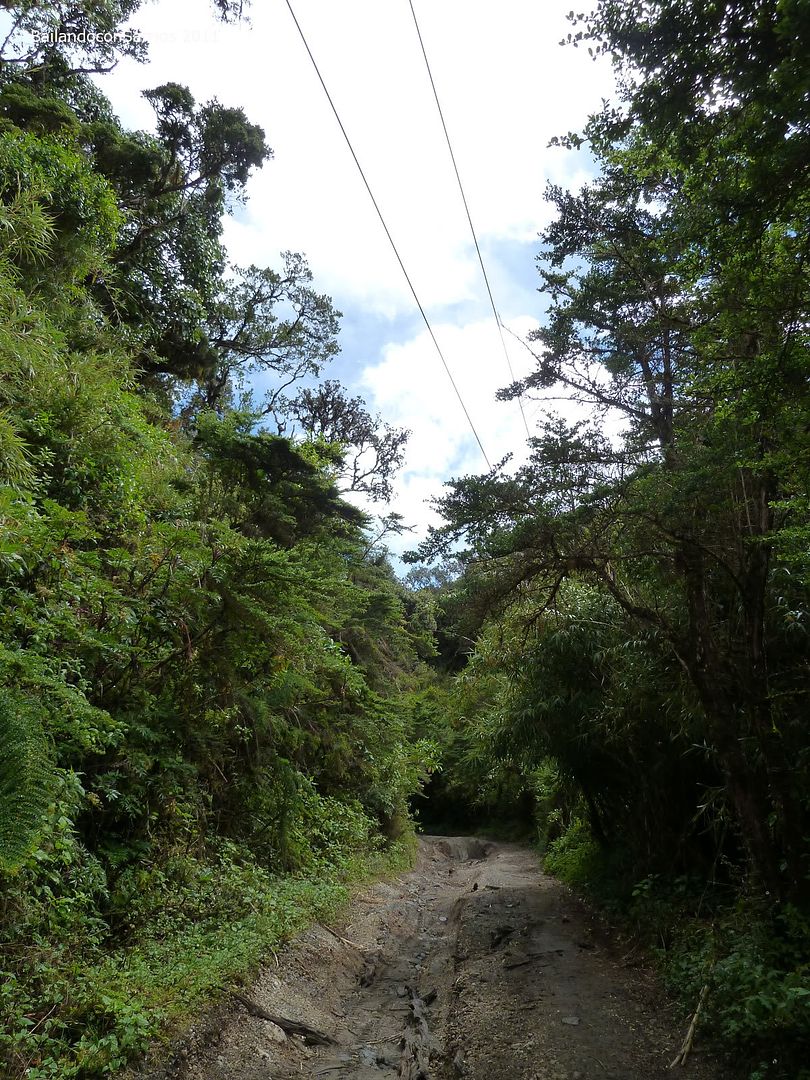
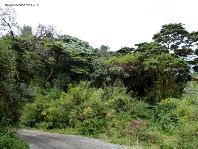
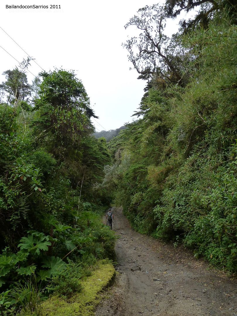
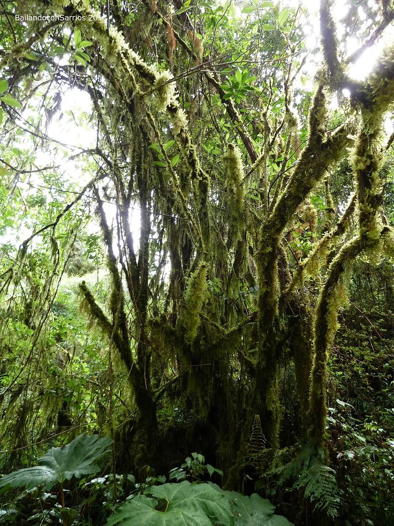
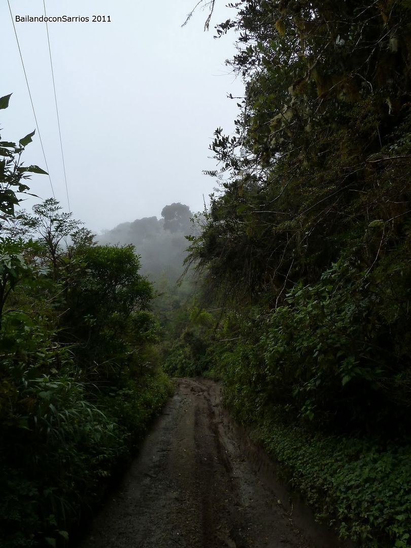
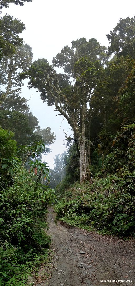
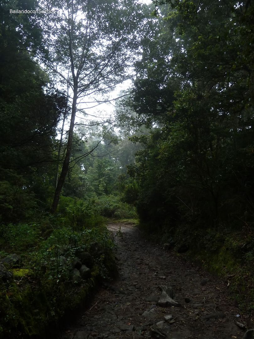
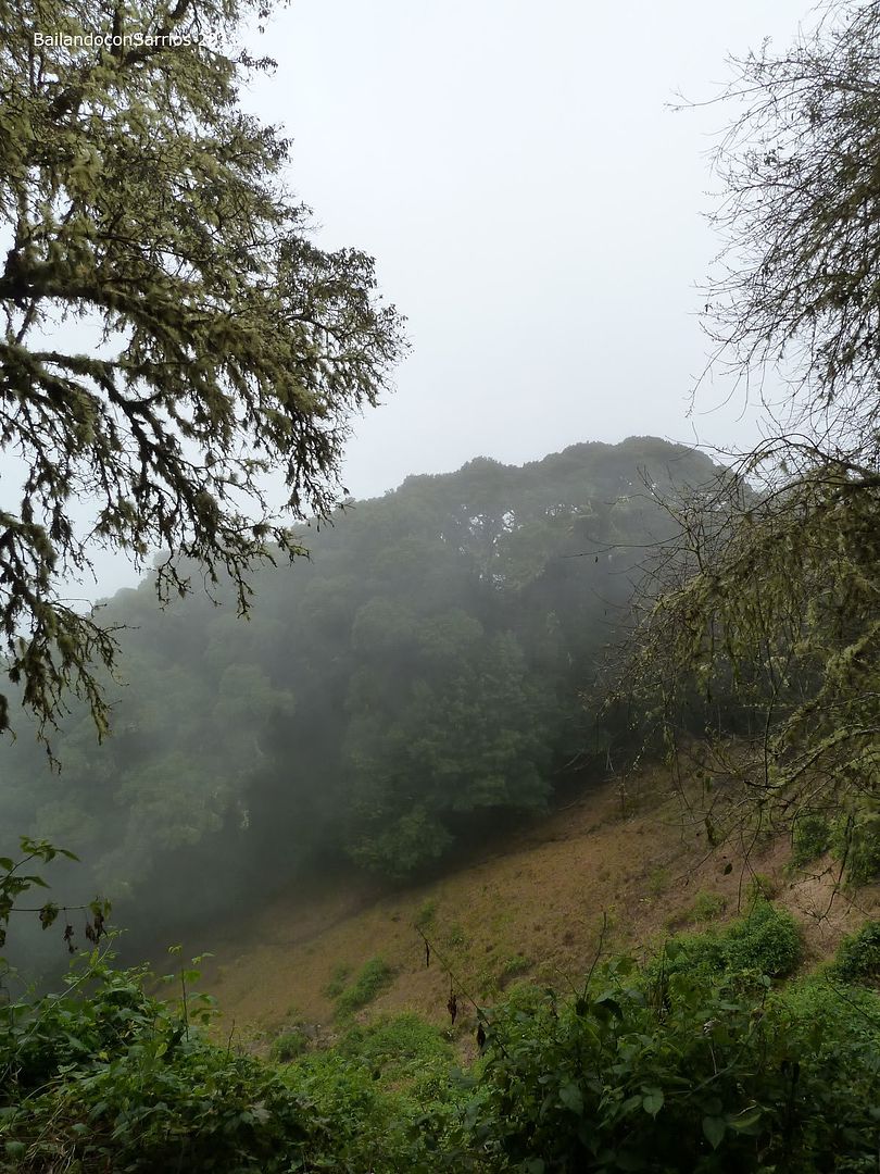
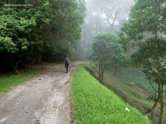
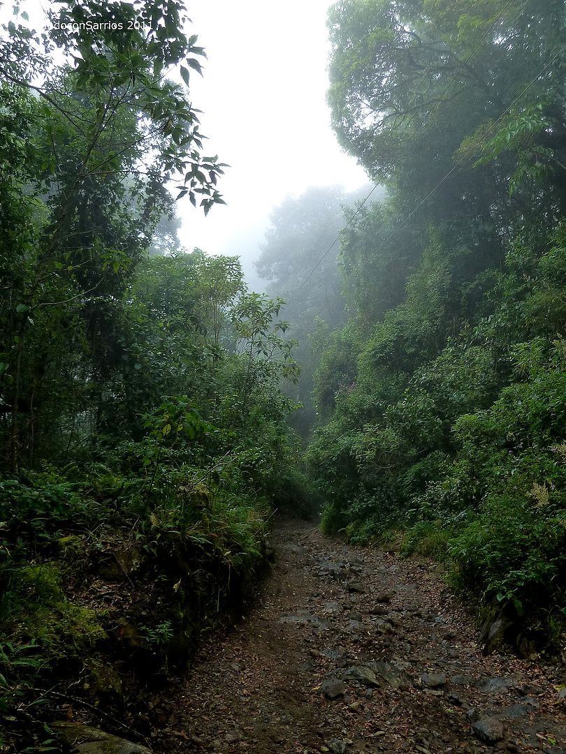
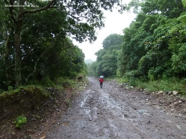
Along the way we find nothing but green, even in the darkness.
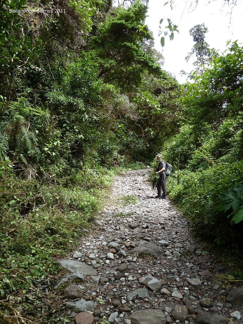
Find the first fork, turn on your right. Don’t take the one with the fence and the door.
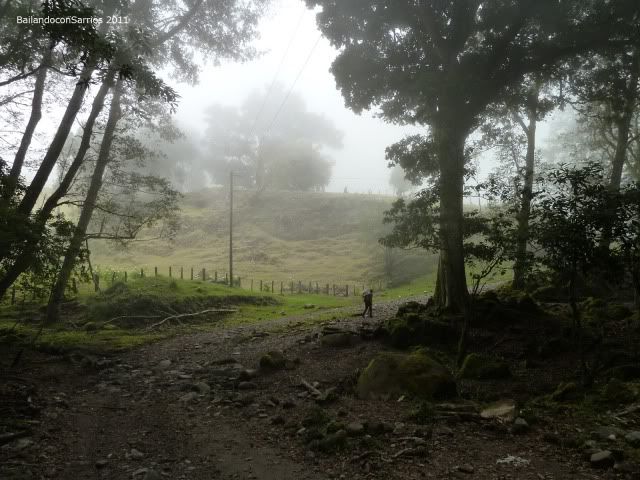
The track then gets downand and once we get the bottom of this part of the way we find this sign.
Check out point.
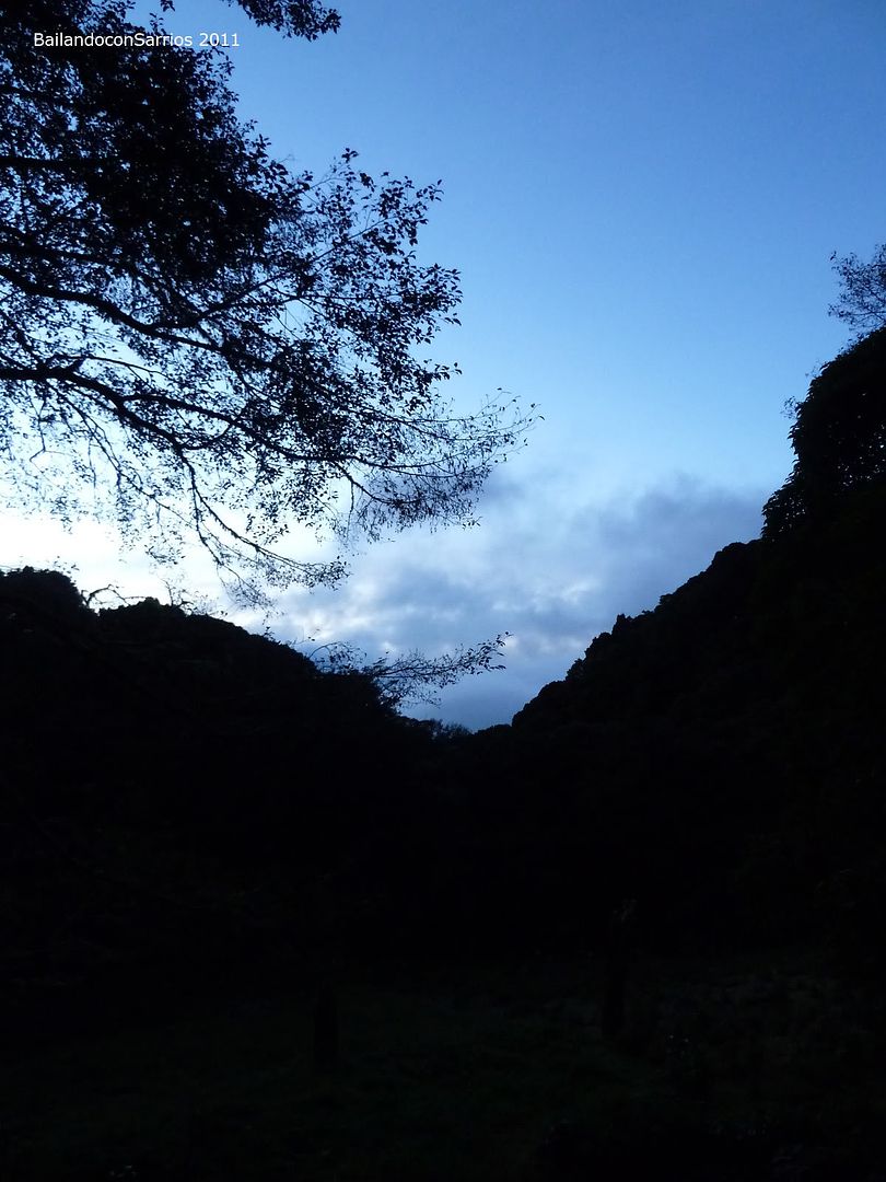
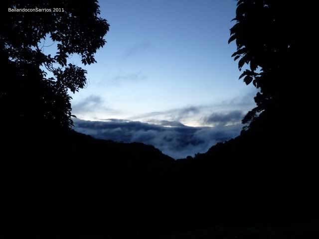
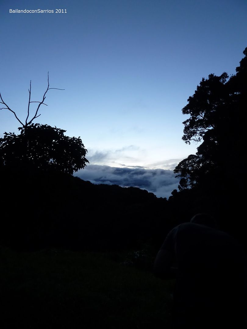
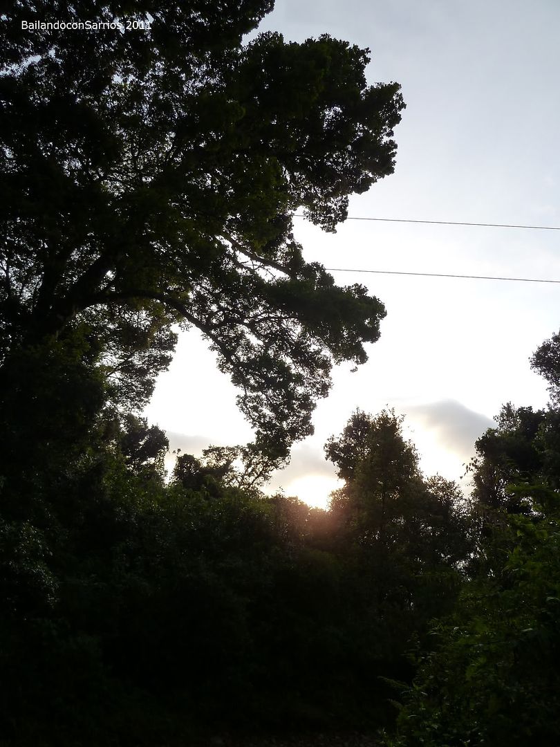
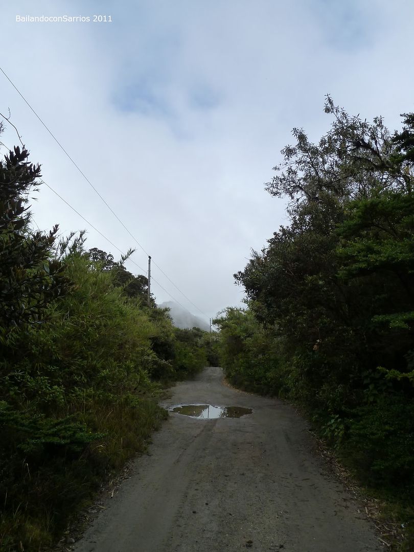
It’s 6:00 hours and the sun begins to raise.
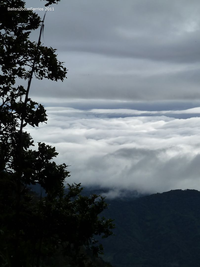
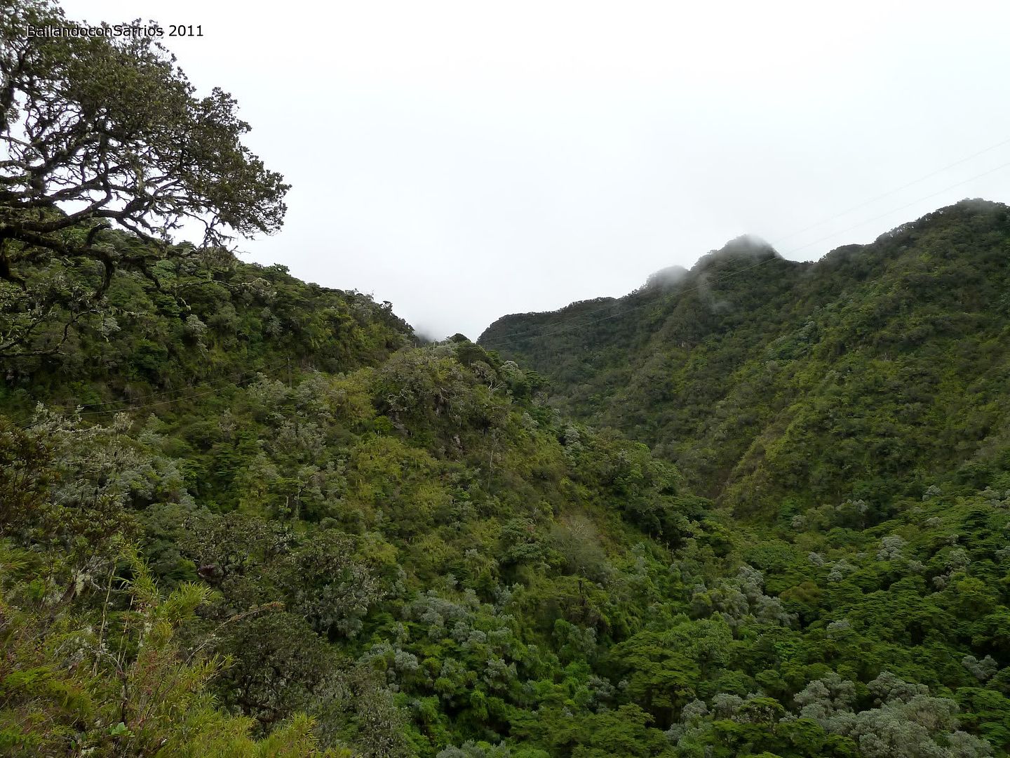
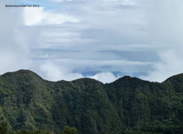
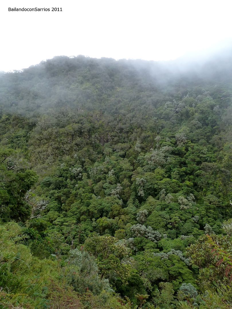
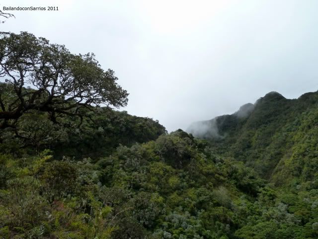
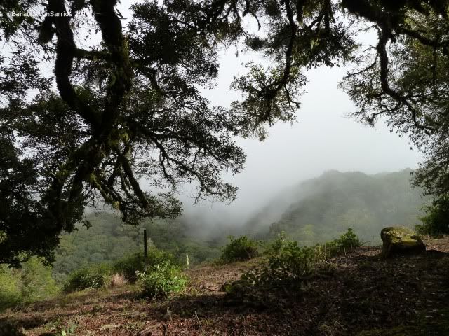
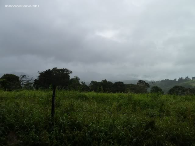
Clouds covering the bottom of the Valley.
Mane appears in the dark.
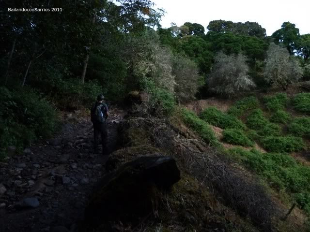
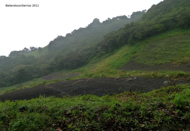
Some sort of cultivation, might it be coffe plants?
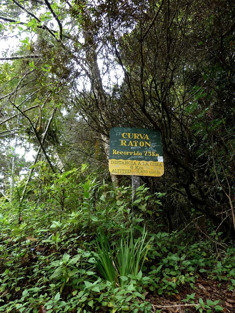
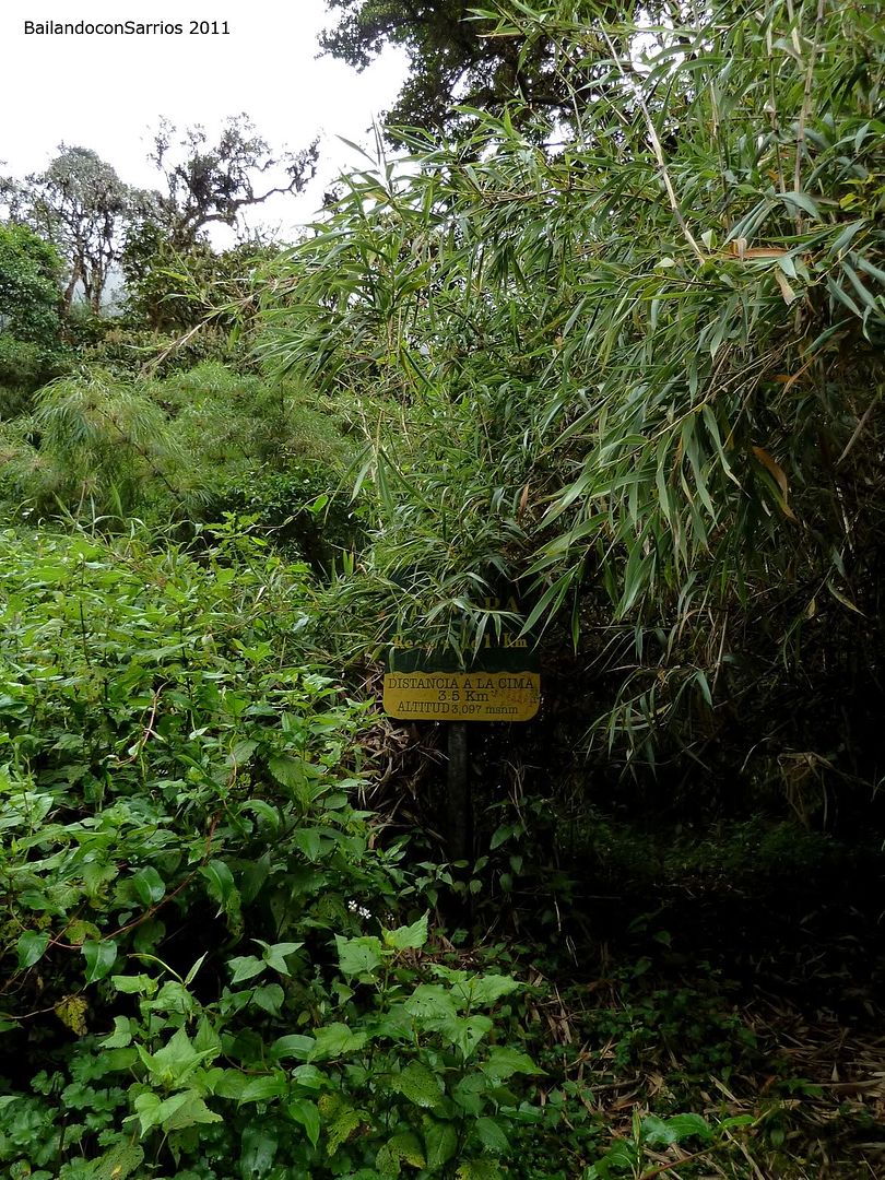
Zarzamora Area, it lefts 9.5 km – 5.9 miles.
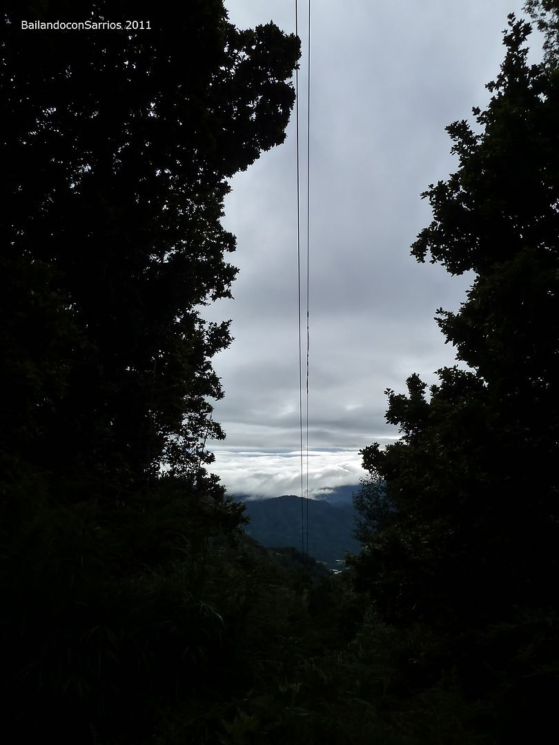
Glancing at the clouds.

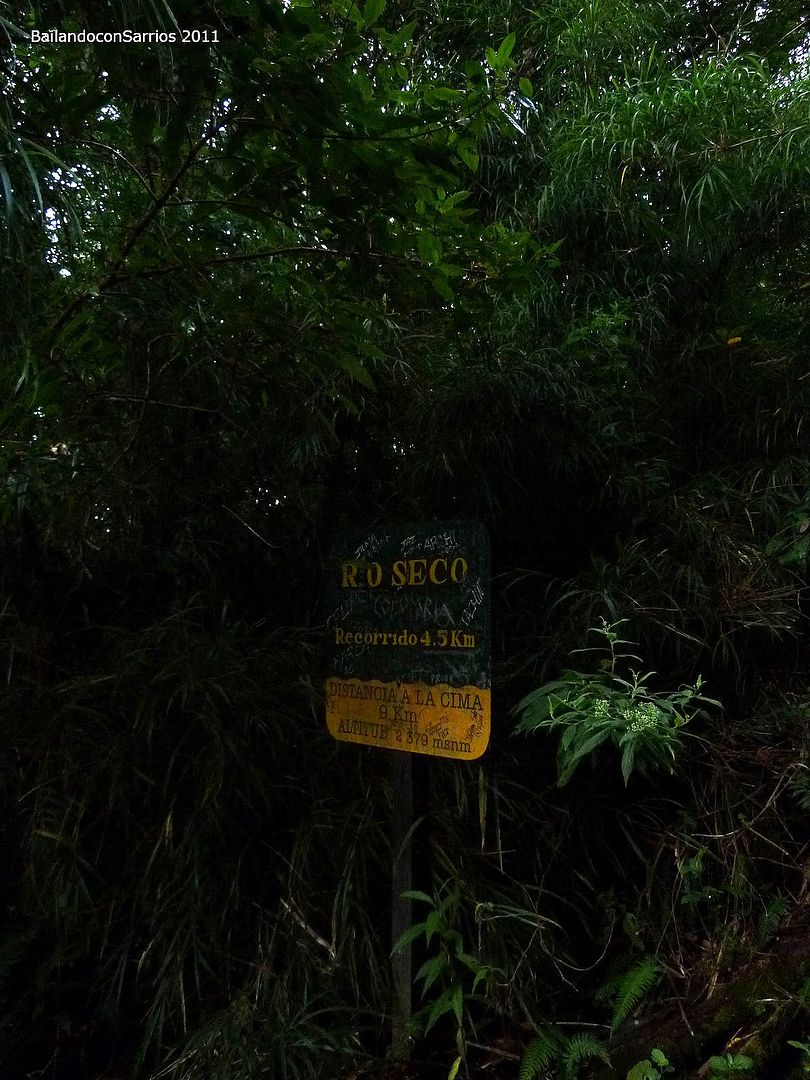
Close to the Río Seco Area.
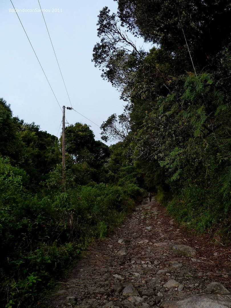
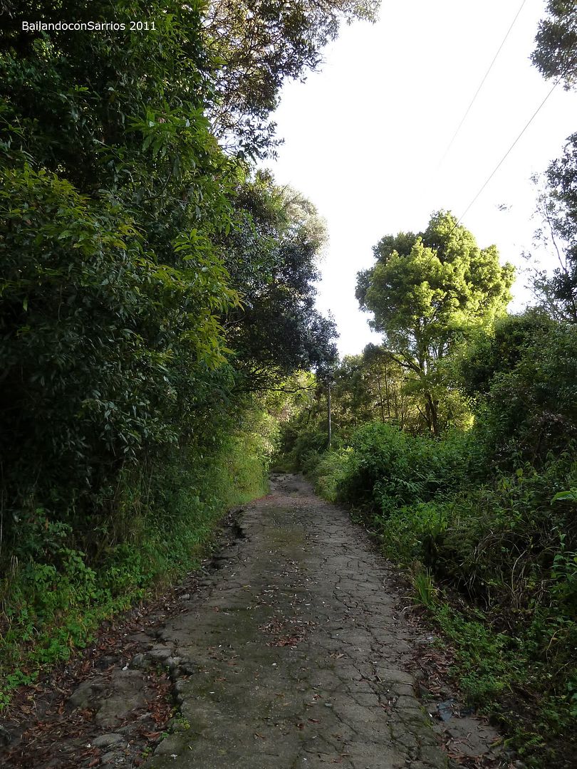
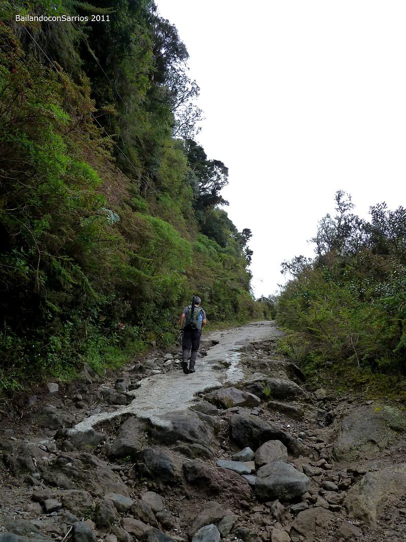
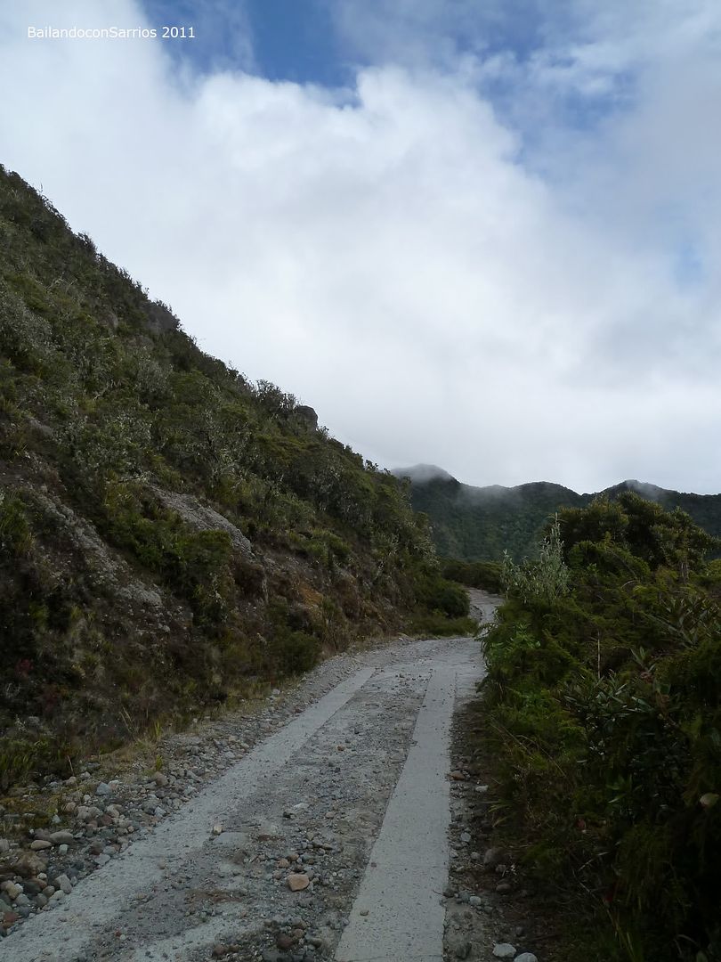
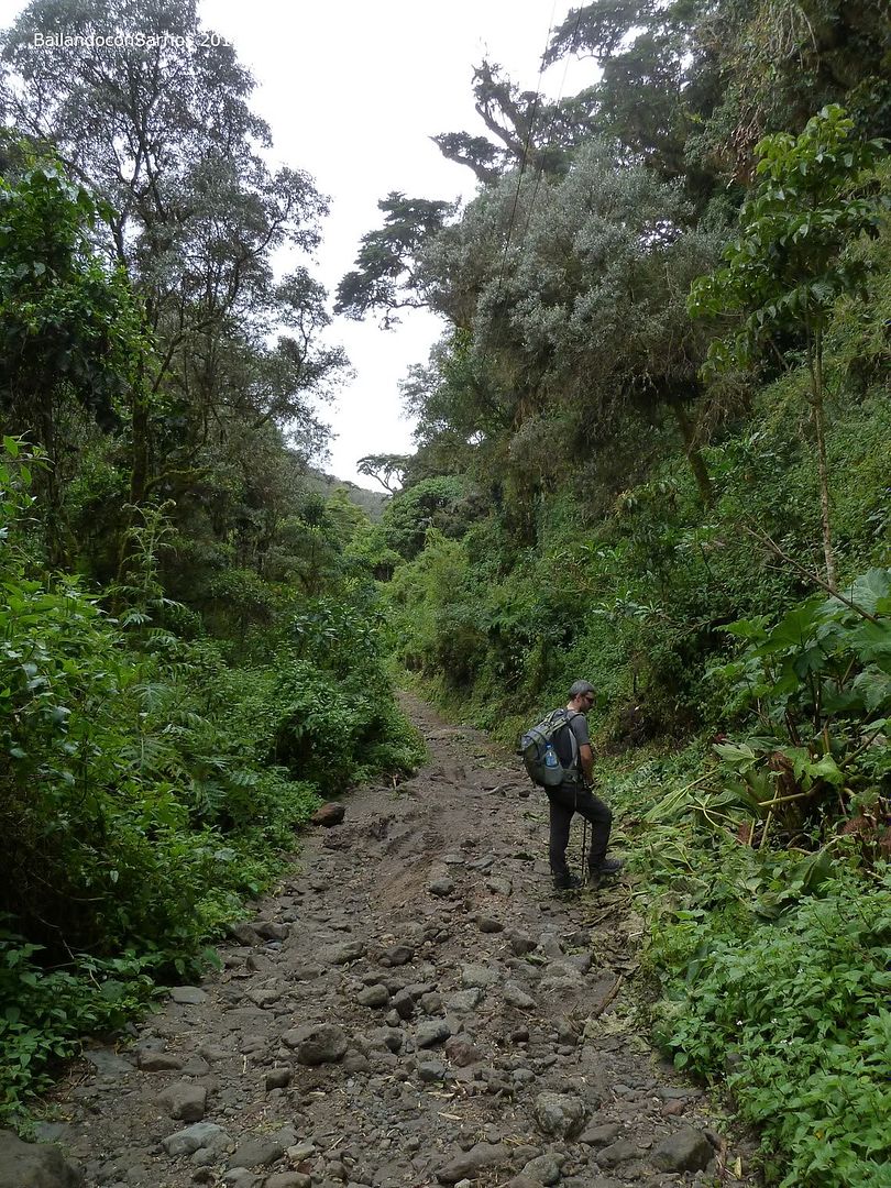
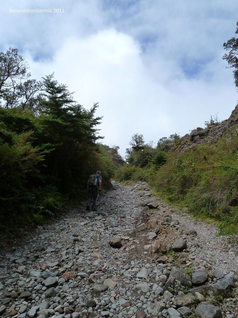
The bumpy track.
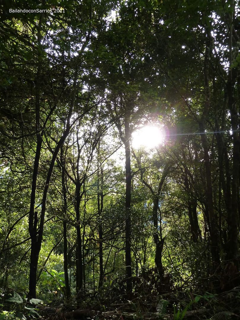
Here comes the sun.
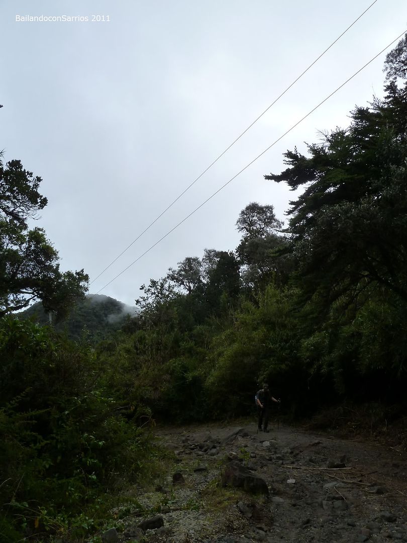
It’s 6:40 hours, and we make a pit stop to apply ourselves some sunscreen. This is very important.
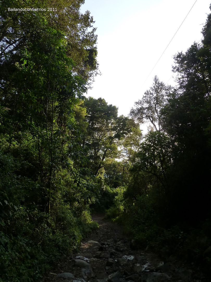
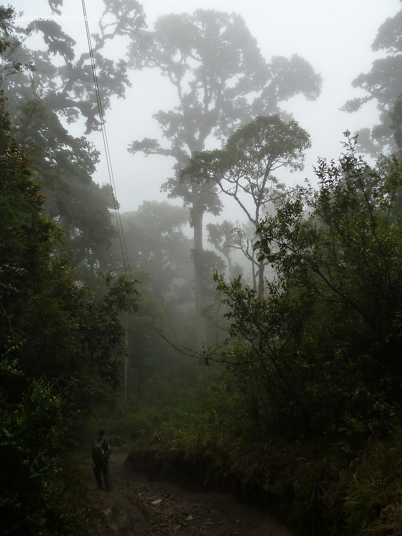
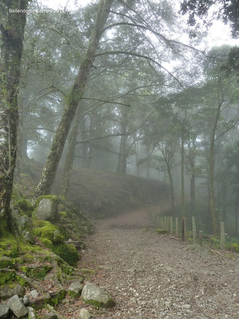
The rainforest blinks.
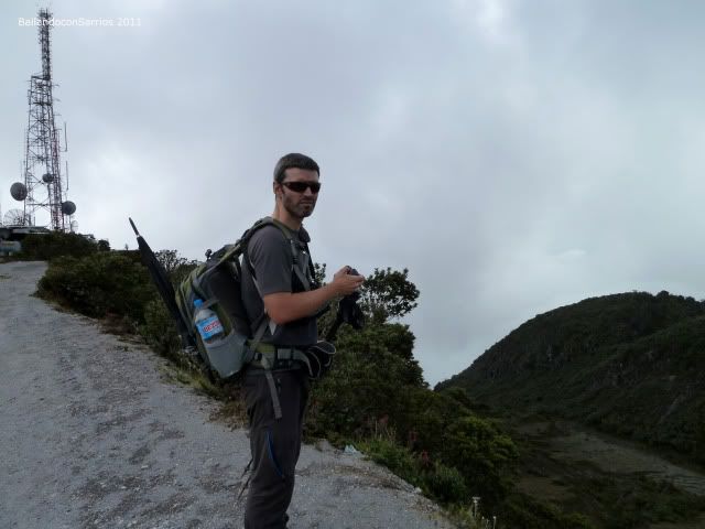
Mane taking pictures.
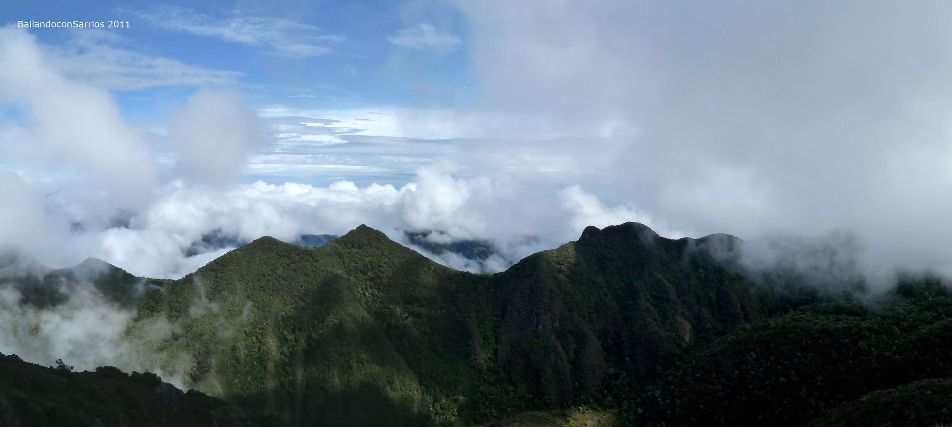
Visual spectacule!!
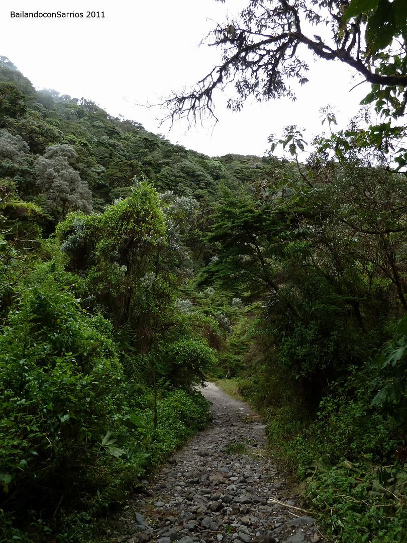
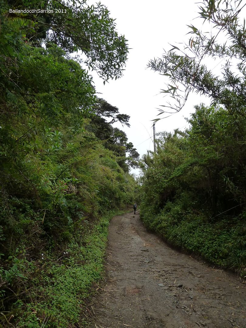
The track gets more comfortable to hike.
A gift to our eyes.
It almost lefts 1,000 meters – 3,280 feet unevenness and 7.5 km – 4.66 miles of distance.
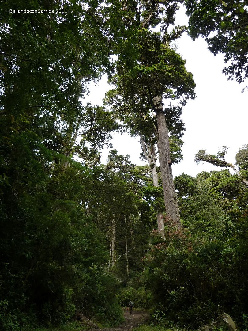
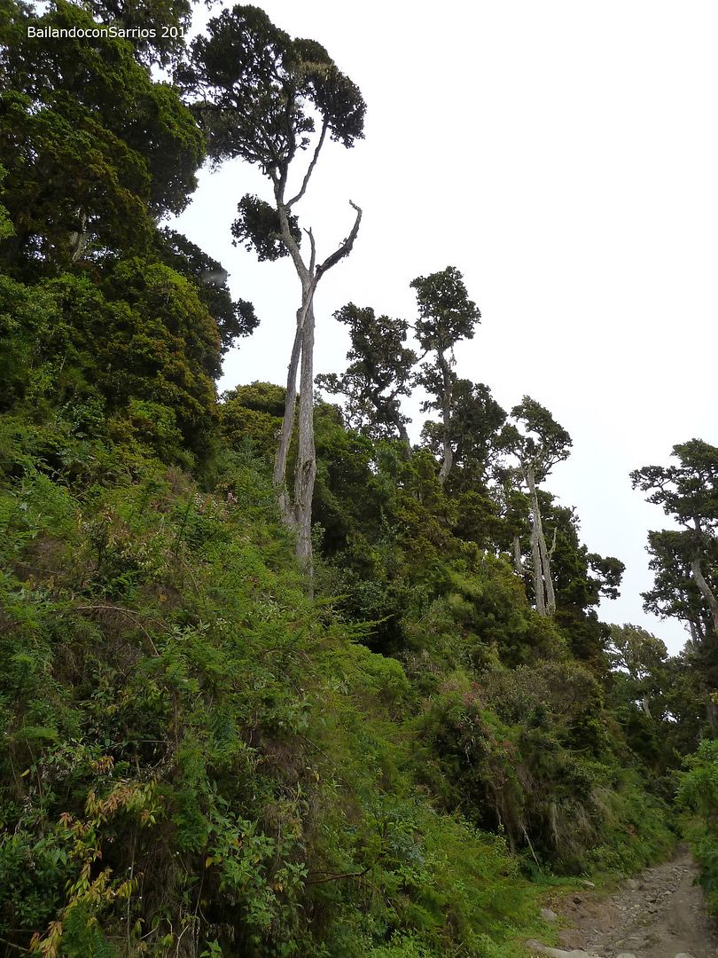
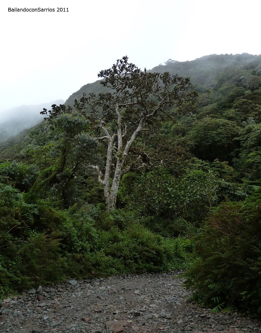
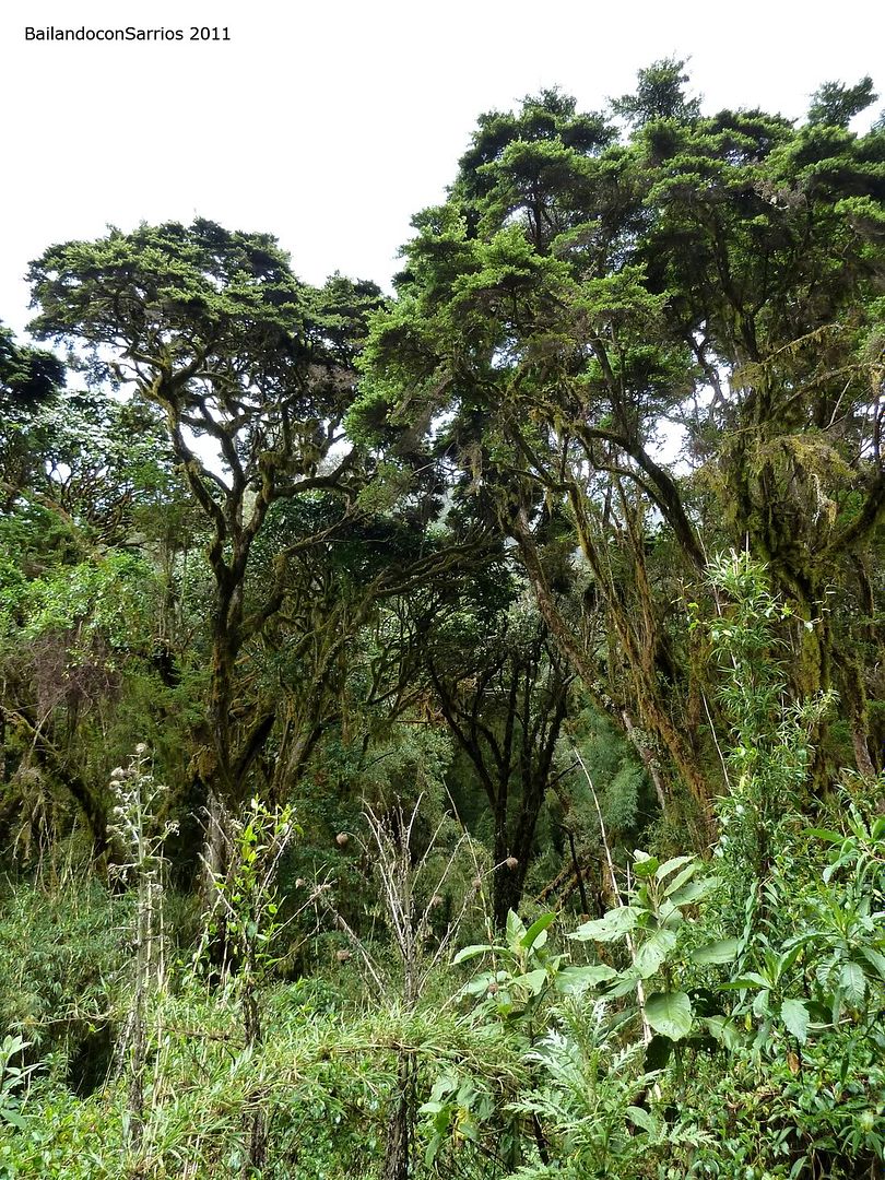
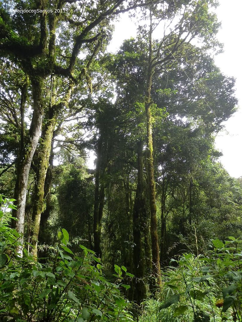
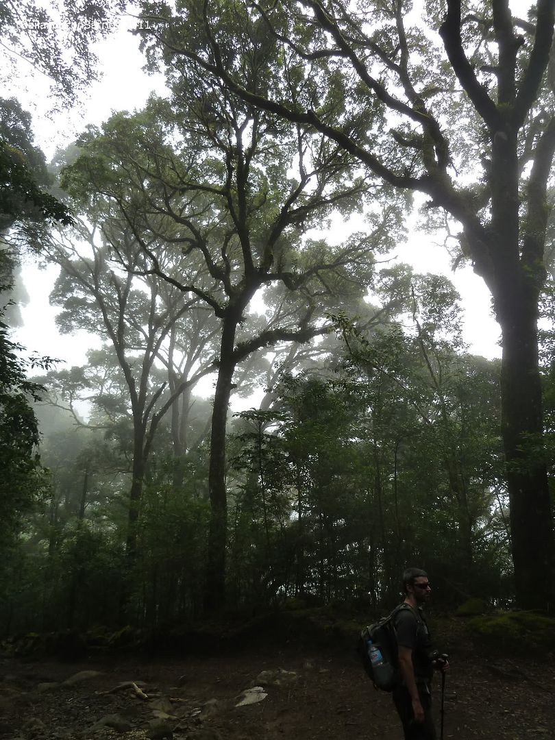
The canopy is all around.
Huge trees.
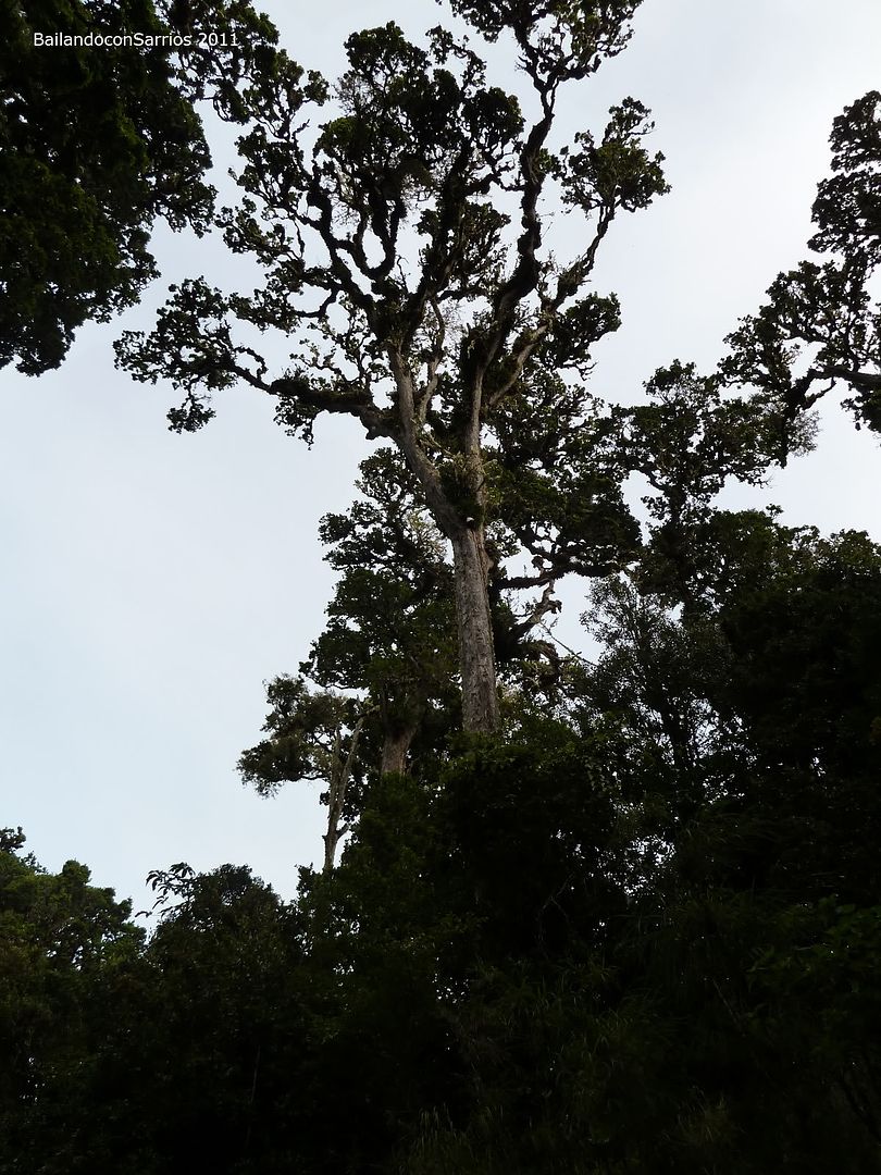
Make us feel so tiny...
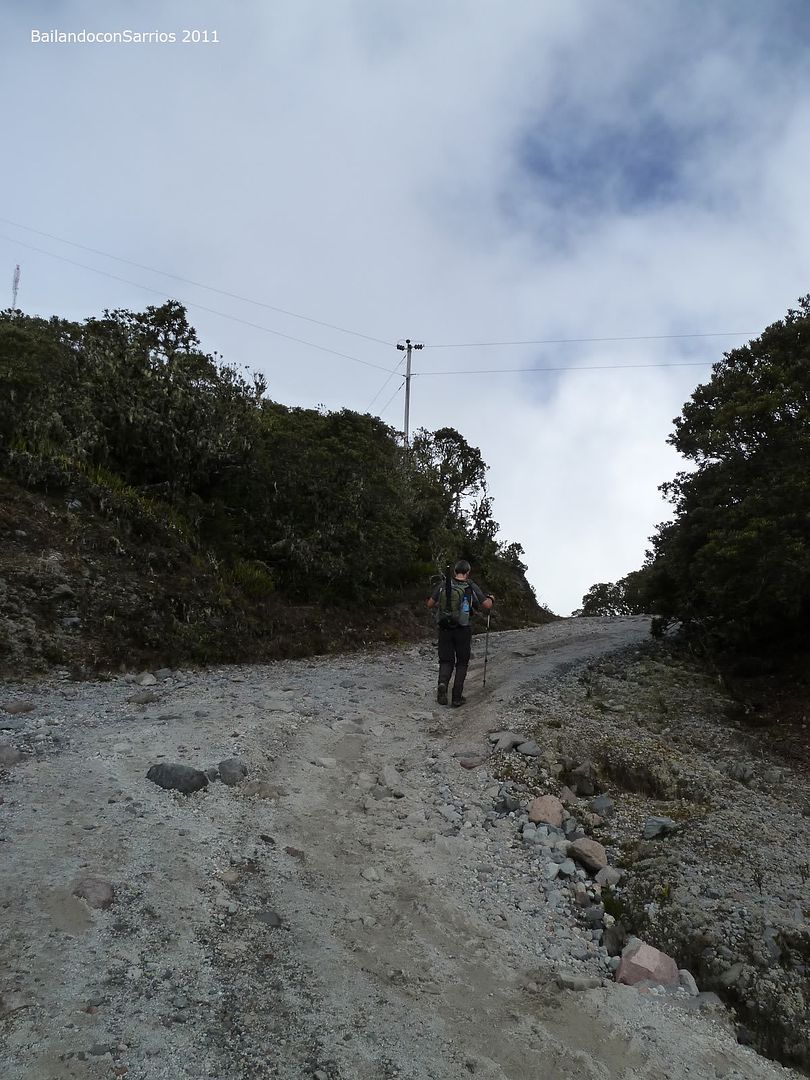
The long way to the top.
So it this is getting harder.
Dull sky.
Contrast between the sky and the sea.
It remains a bit less.
A staying slope.
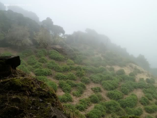
Nothing but greeness.
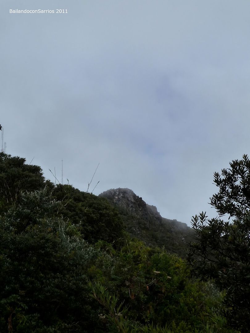
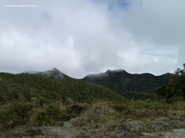
We almost see something among the clouds.
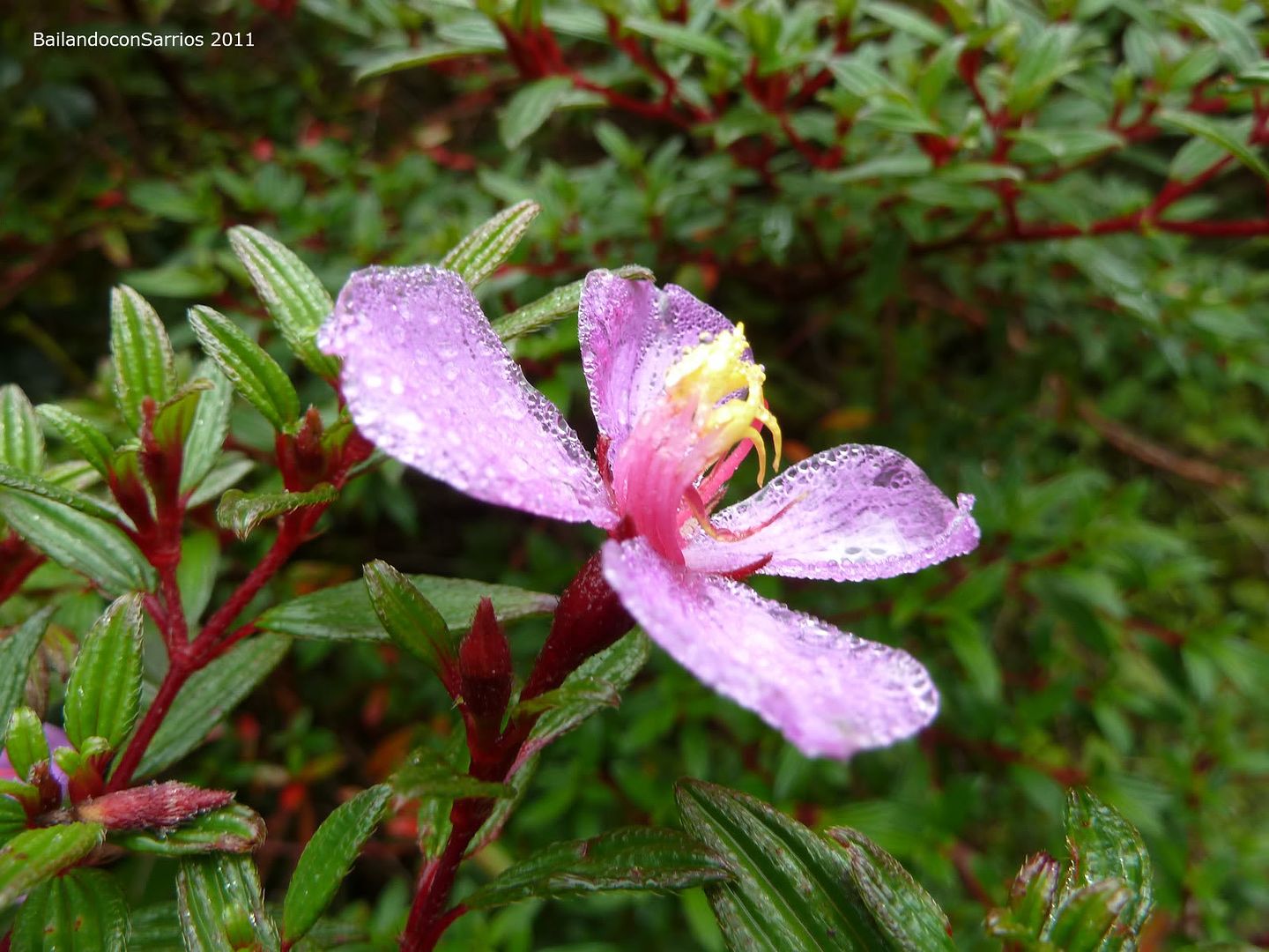
The astonishing flora.
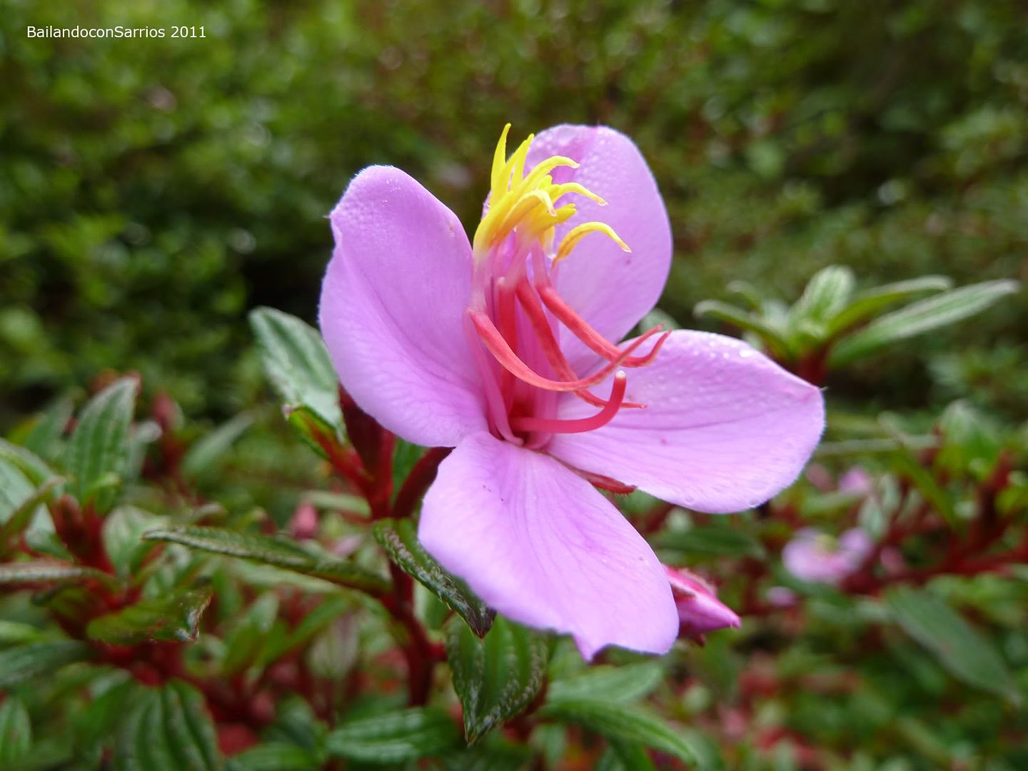
So charming.
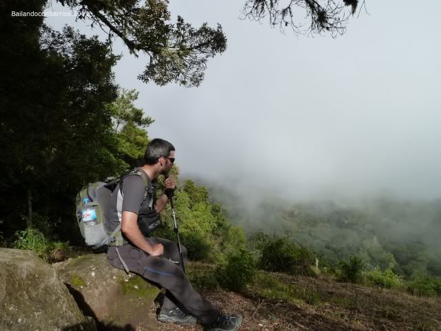
Just a respite on this steep road to go slow down.
A short brake.
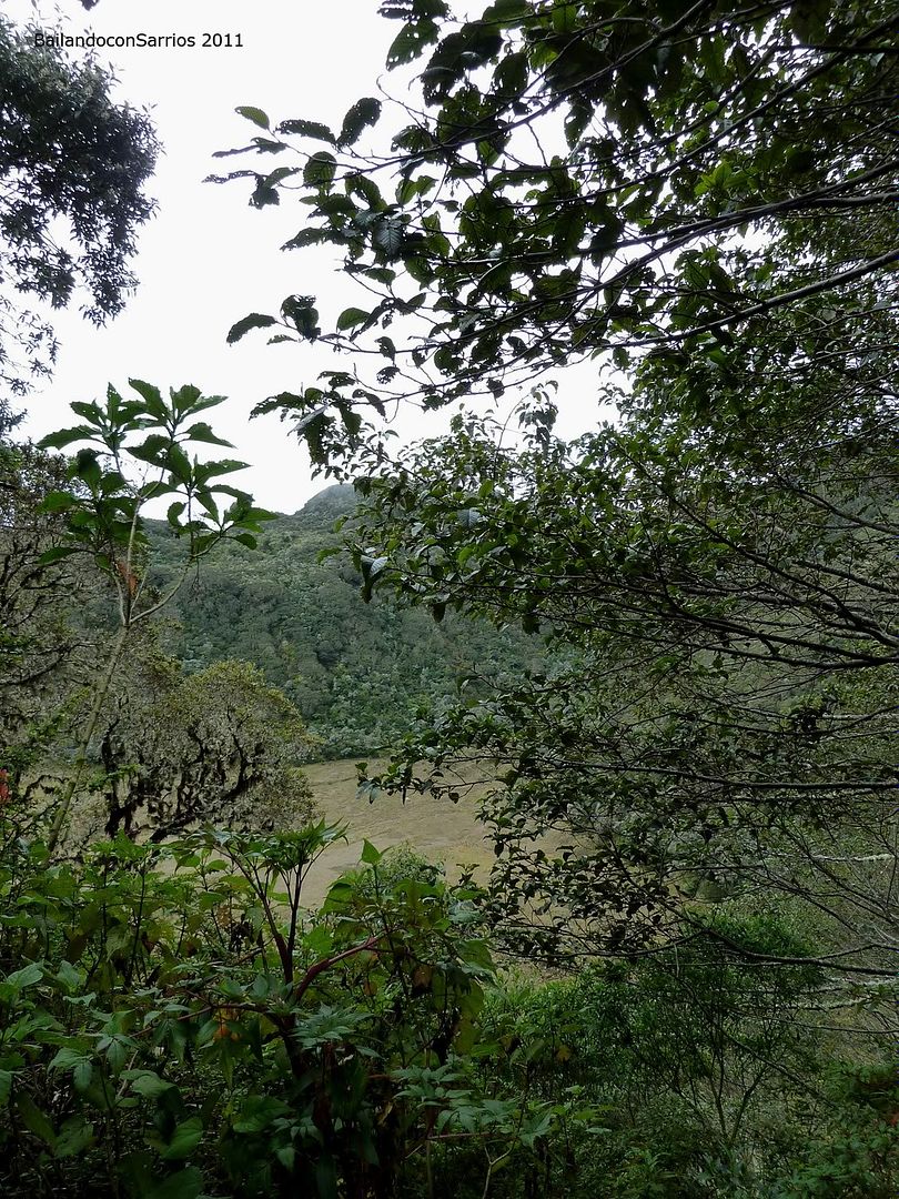
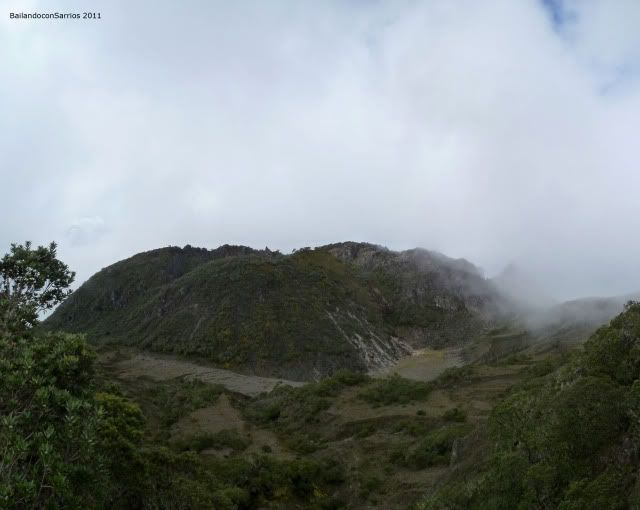
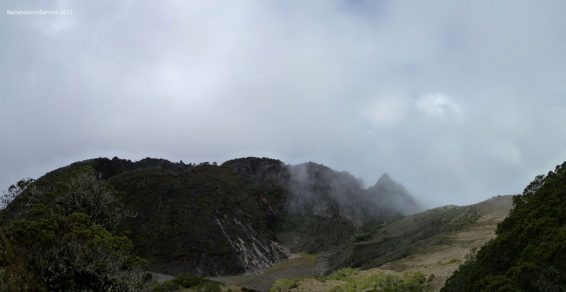
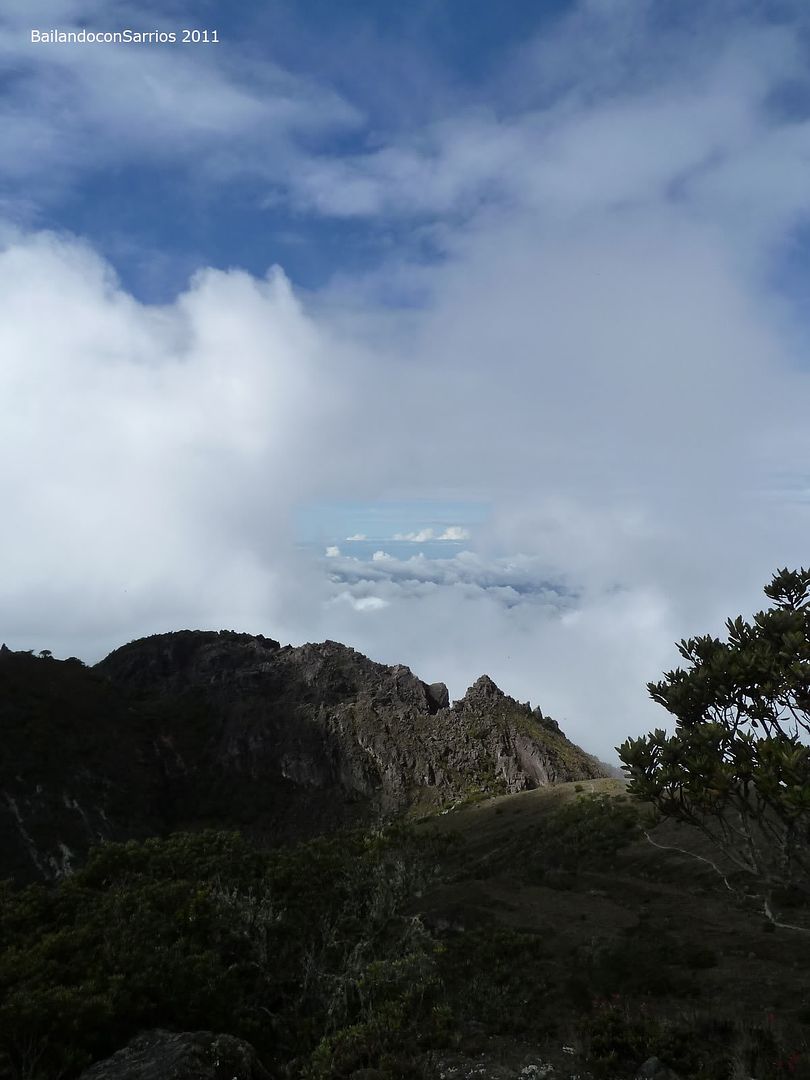
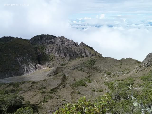
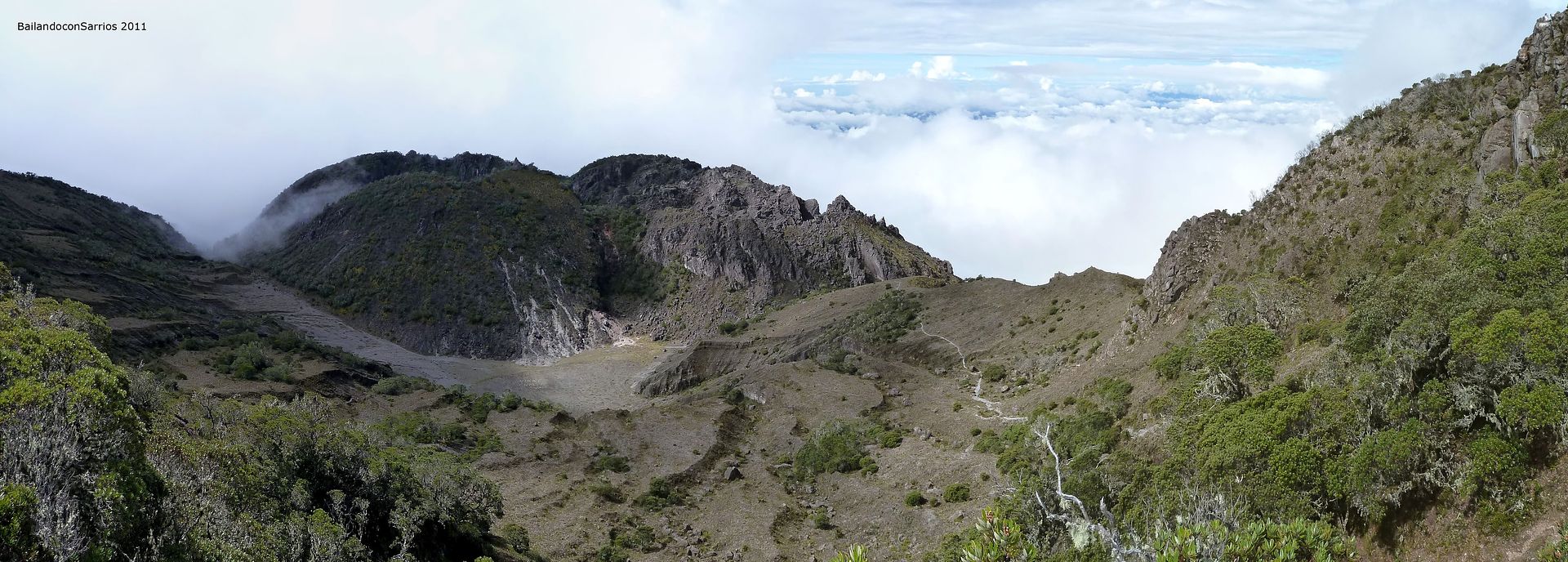
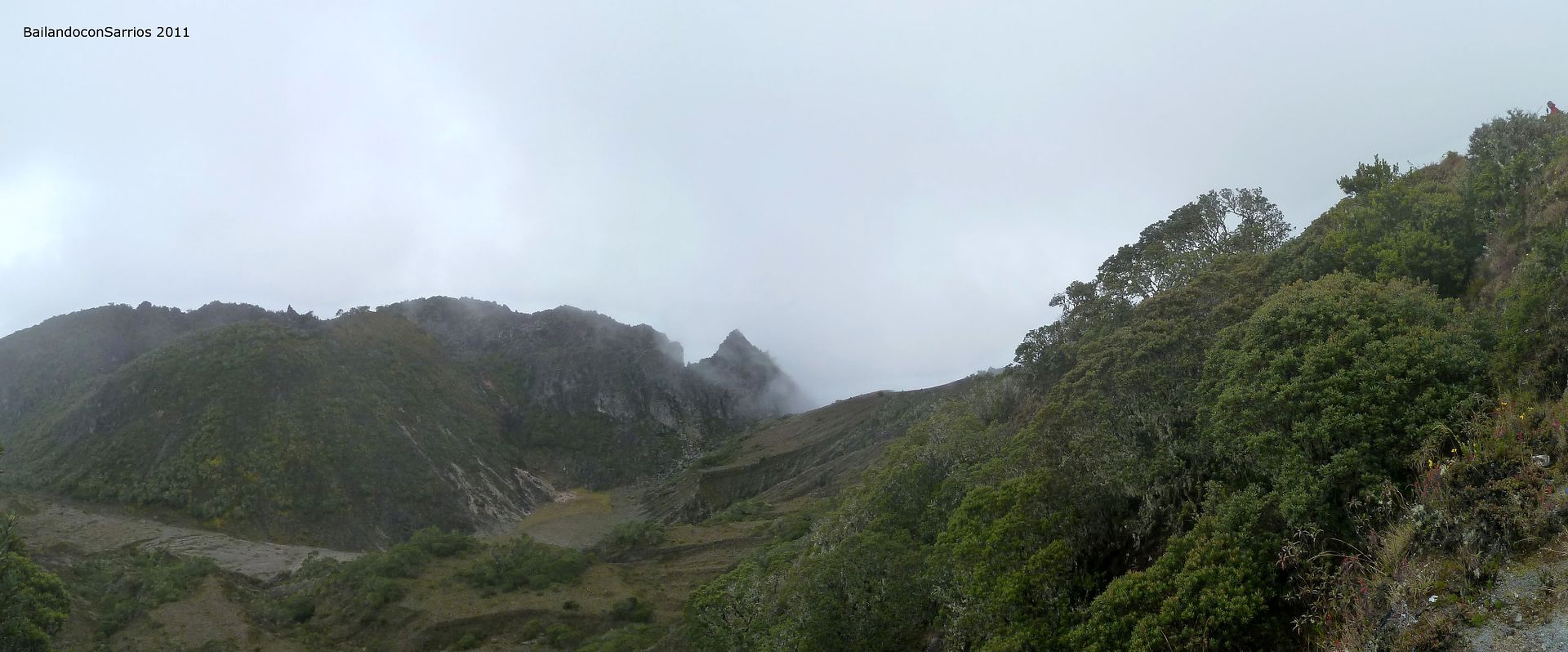
So we try to take a look over the Potrero Muleto Crater.
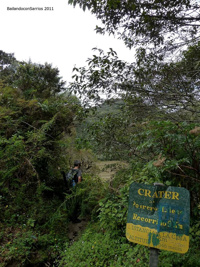
We hardly see anything cause of the dense vegetation.
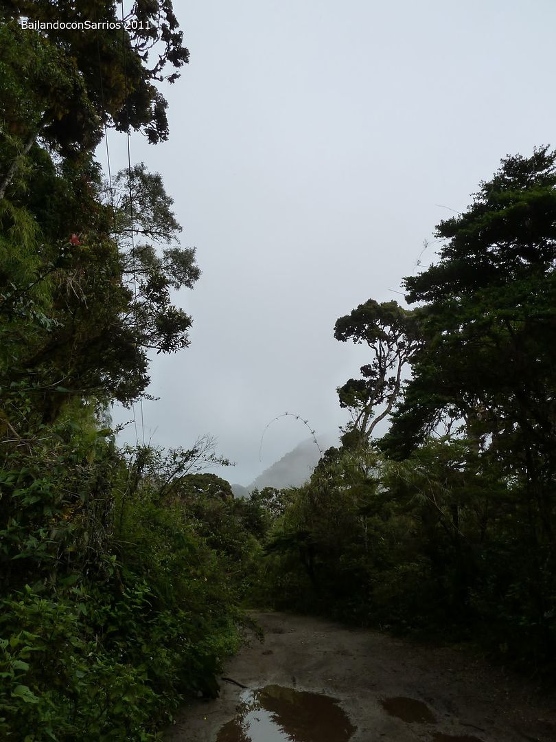
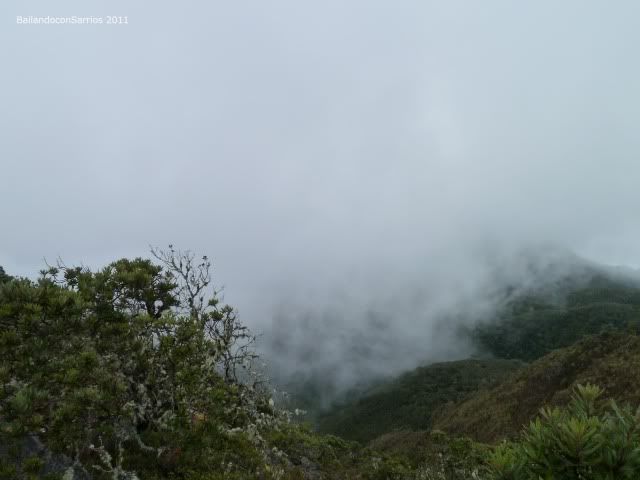
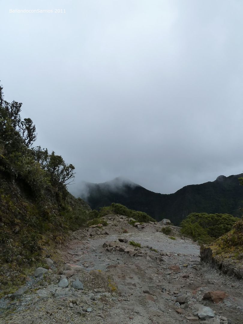
Surrounded by the mist.
La Nevera Area, a bit hidden.
So that the track promts down to pass out the bottom of this gully.
We reach to see where it follows to.
Enjoying the landscape.
Currently at the bottom of the gully.
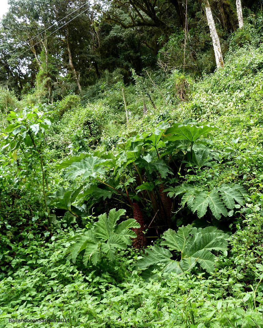
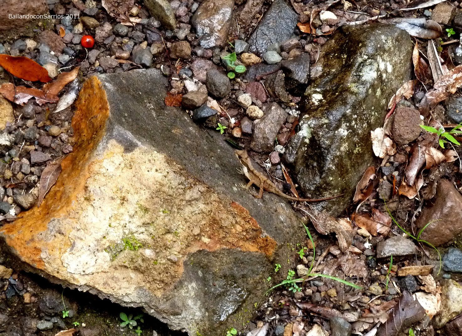
Strange plant, anybody knows what is it?
The hell of slope, again.
So Mane goes ahead.
Closer and closer to the summit.
Evergreen.
Just a spot of the blue sky.
Another turn.
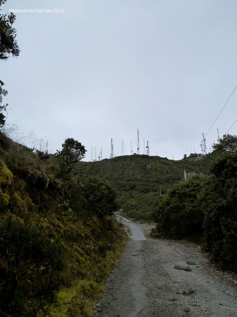
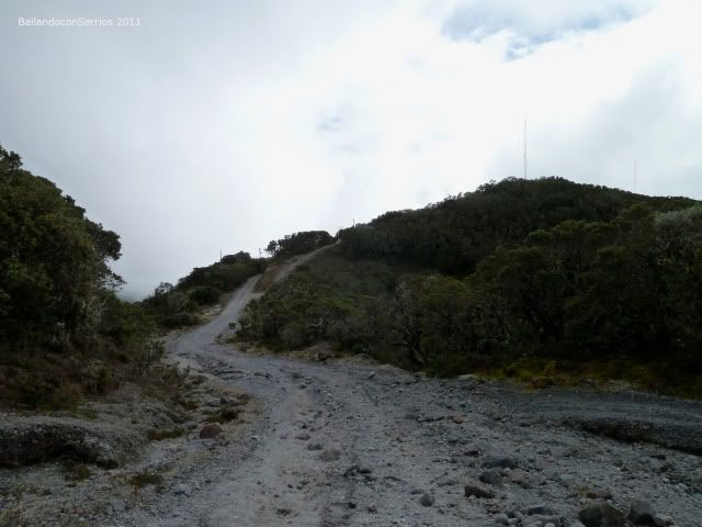
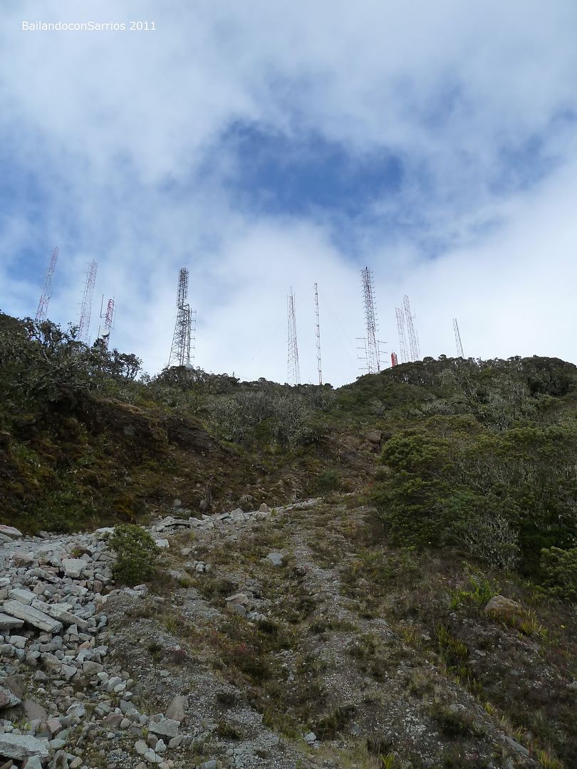
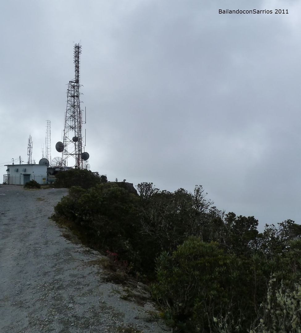
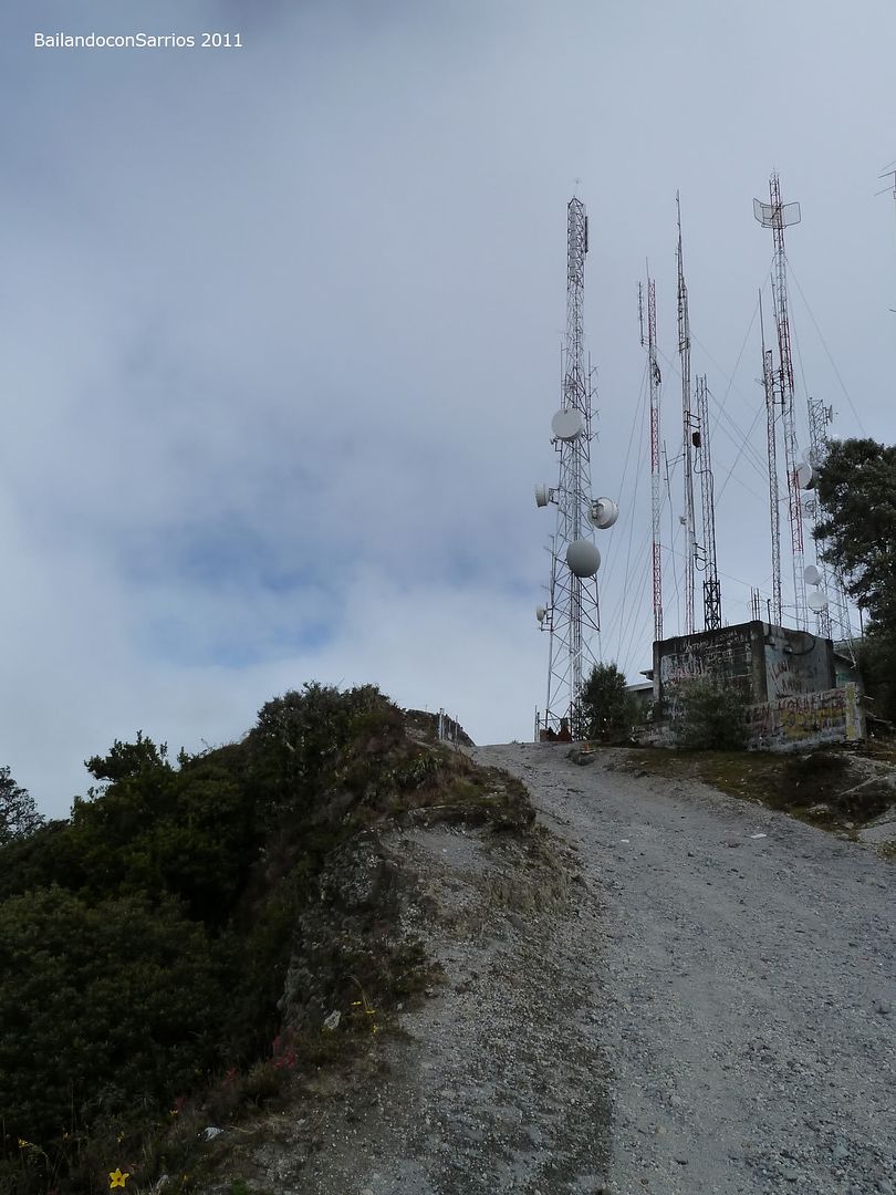
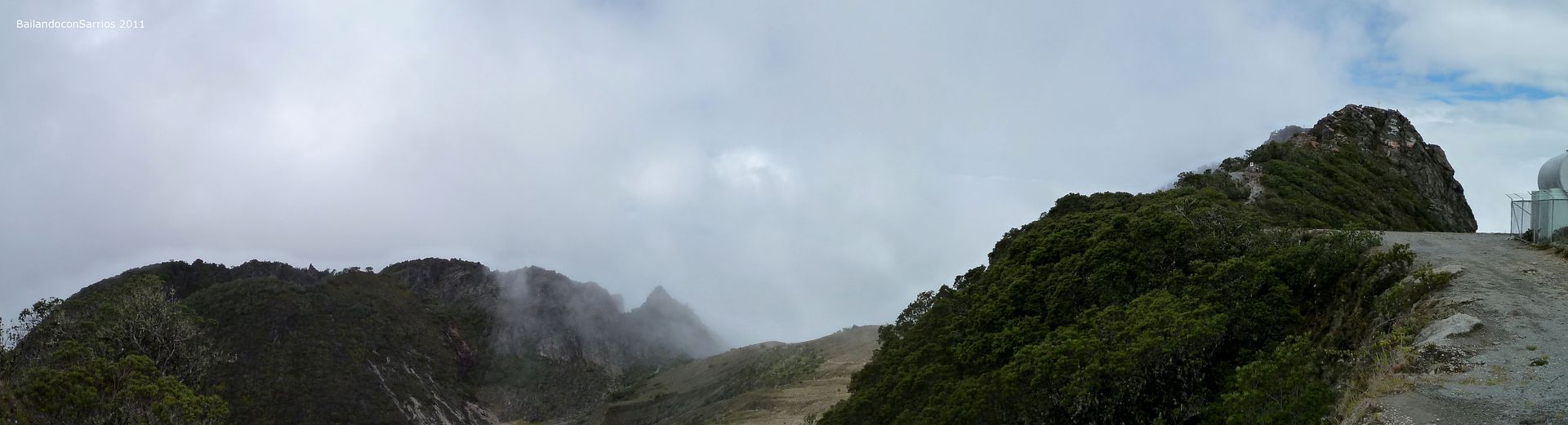
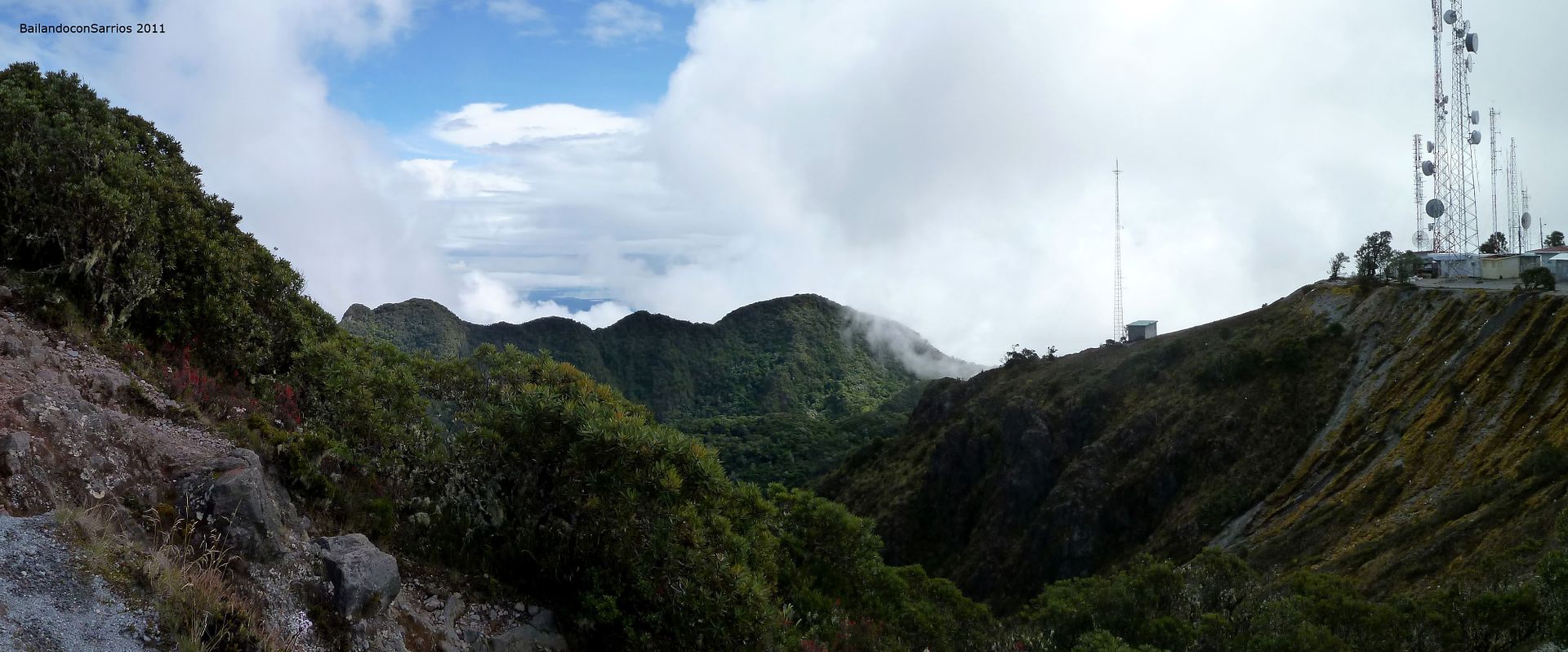
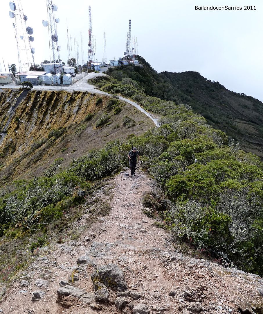
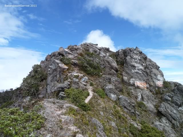
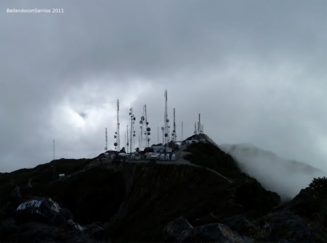
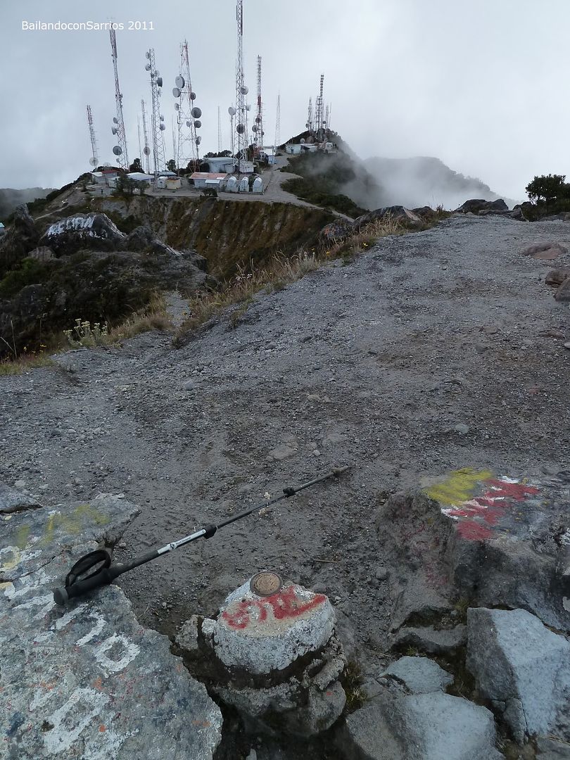
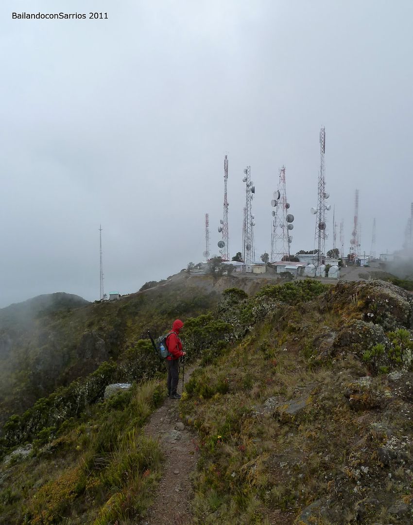
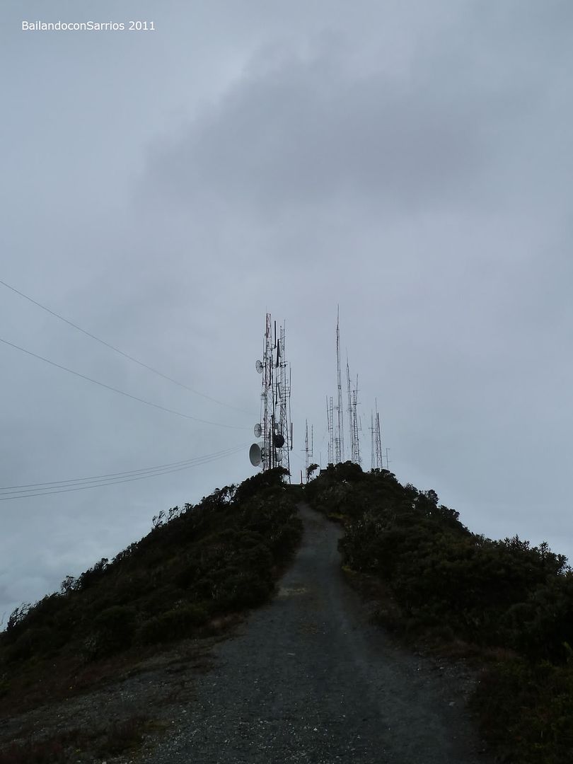
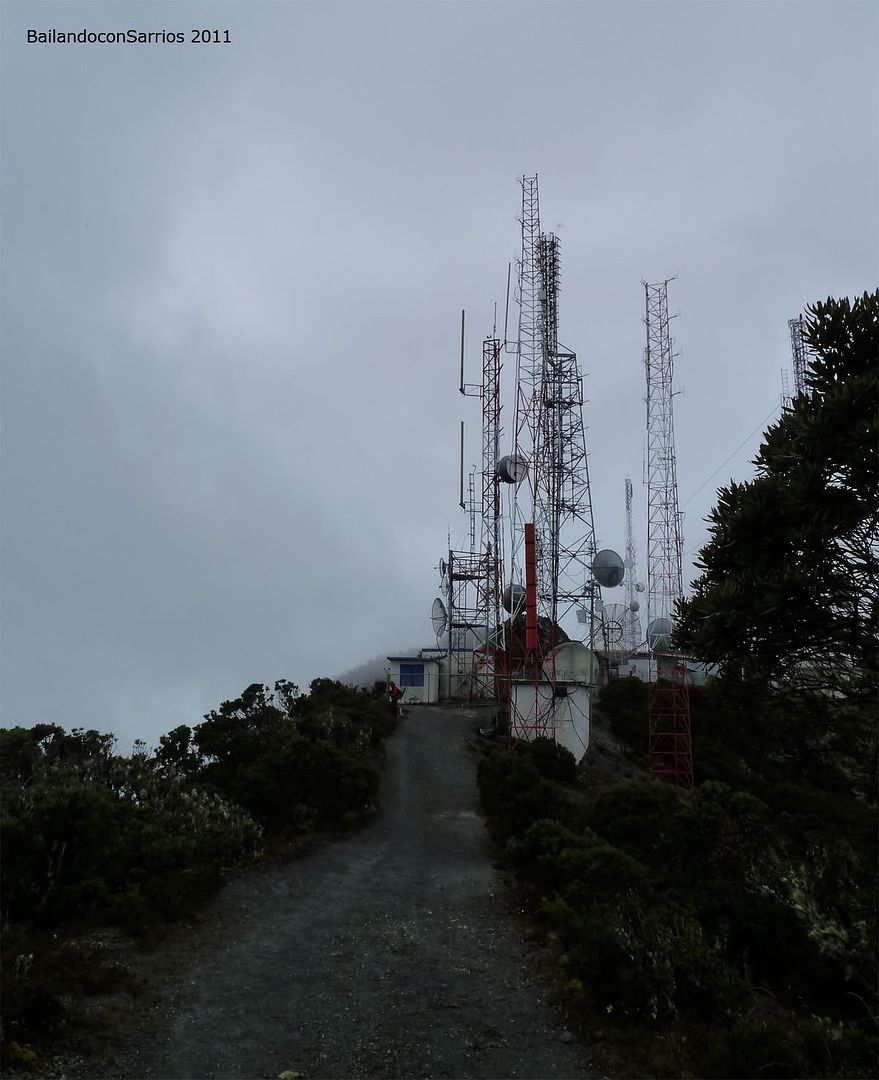
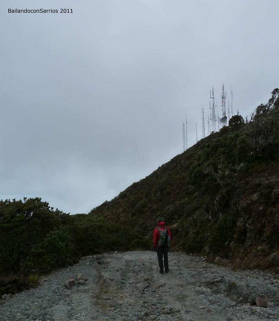
Lastly It’s get visible the antennas over the border of the summit.
That’s the viewpoint at this camping area.
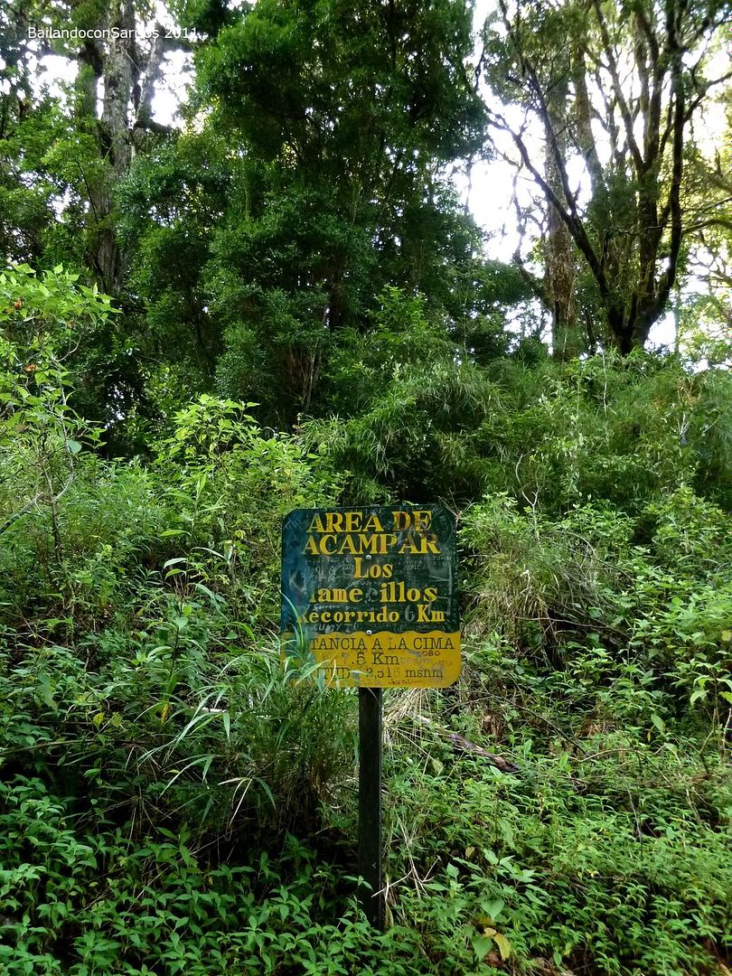
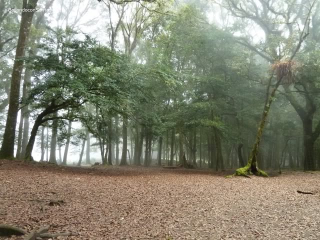
This "Los Fogones Camping Area".
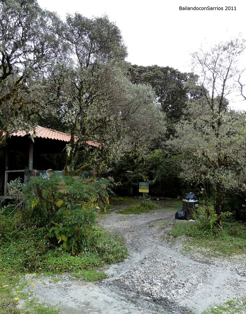
Seems like a mess.
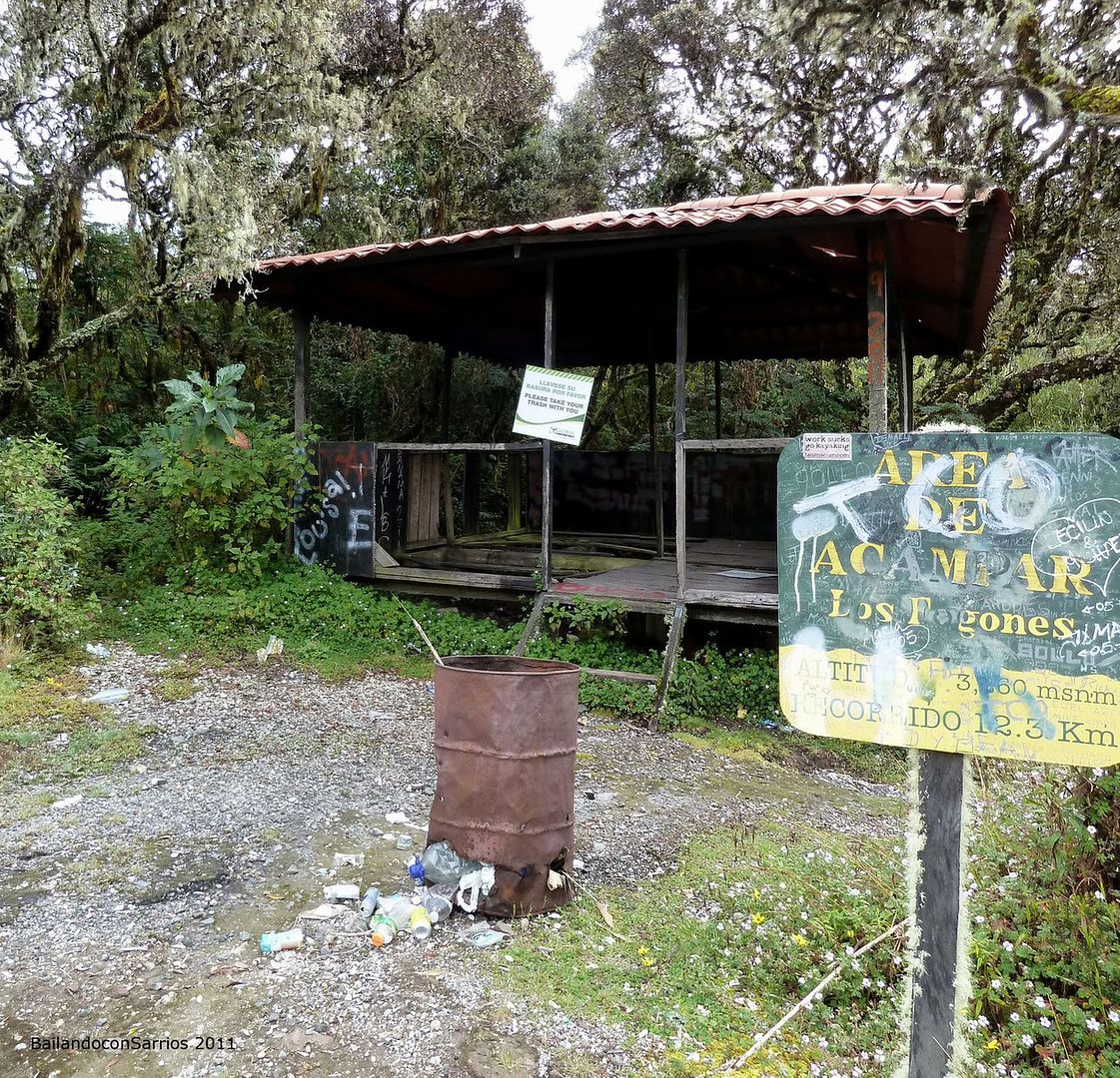
The camping area, as said before, it’s dirty and neglected, despite the 6 $ fee that have to be paid for the foreighners in order to seize this facilities.
We spend just a couple of minutes. It’s 09:30 hours and face the very final slopes to the summit area. At this point, we begin to feel really tired. Not in vane, we carry 2,000 meters – 6,500 feet unevenness and almost had sleep a few hours.
Look at this furrows along the track.
So finally, we reach the antennas area.
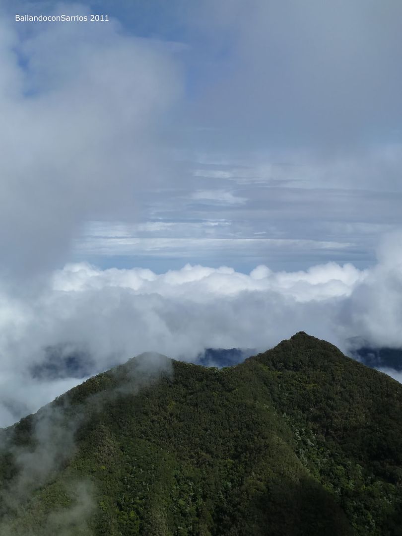
Canopy appearance over 3,000 metros, so weird to us...
That’s where we come from.
The slope steepens.
Looking back.
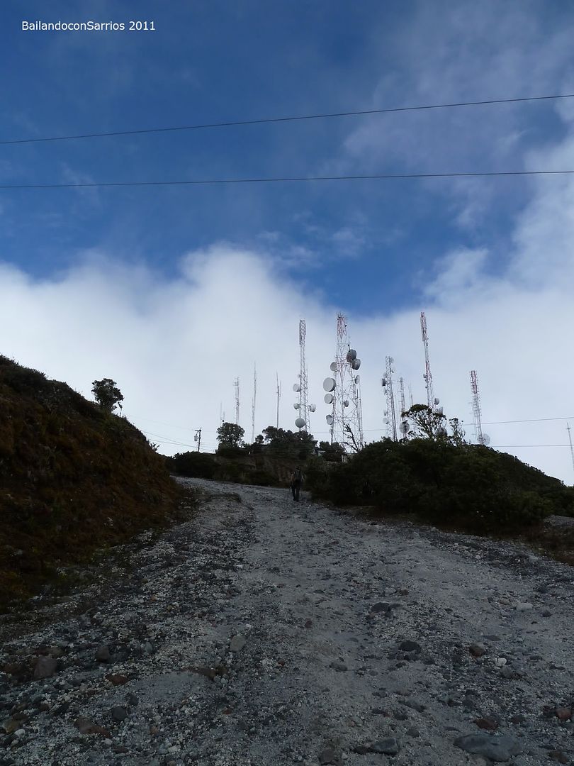
Close to the antennas.
One last effort.
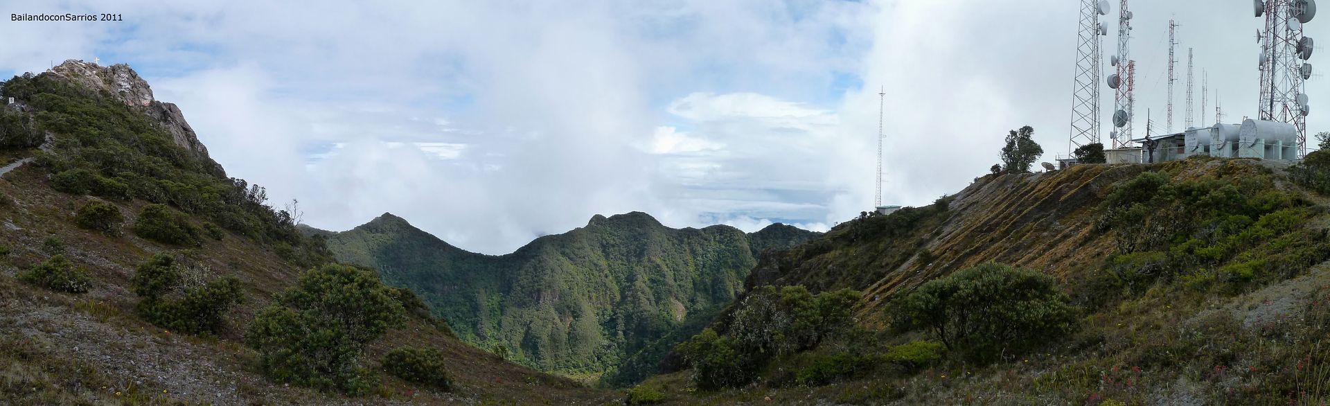
Strange scenery over Panamá highest tops.
Following till the end of the track, on the backside of this facilities.
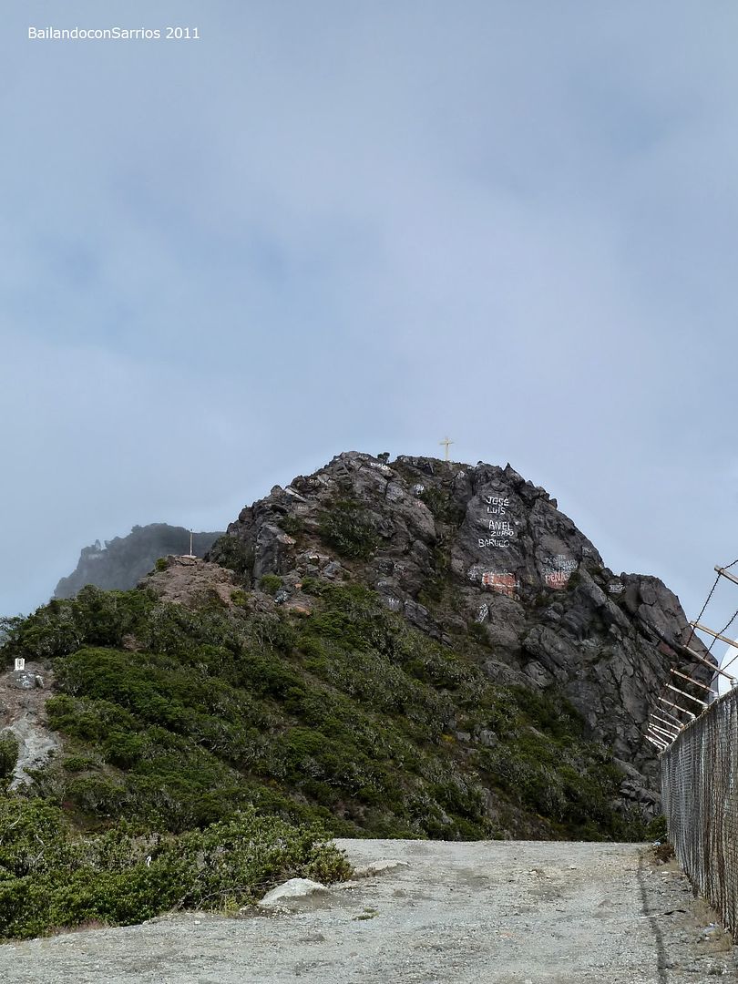
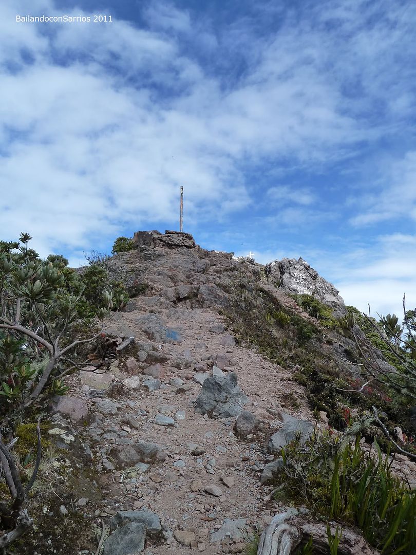
This is the first spot to Barú Volcano.
The path to the actual summit.
Taking some pictures before continue.
Closer to the highest point.
Seems a panoramic landscape.
Towards Barú Crater.
On our way to the summit.
From the boundary of the microwave antenna facilities, it last nothing but following the path over short crest to the very summit.
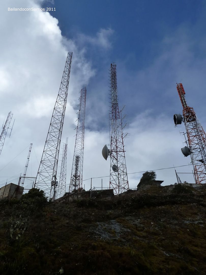
The antennas, again...
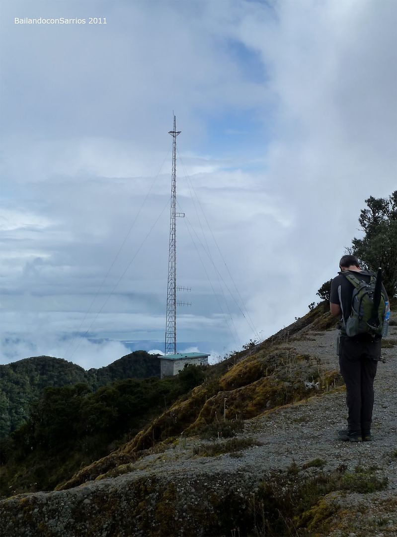
They are point of reference in many instances along the way.
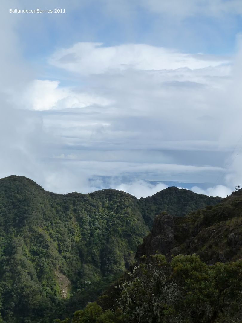
The Caribbean shore, probably Bocas del Toro.
The way to the very top point in Panamá.
Enjoying the sight views...
... Southwards.
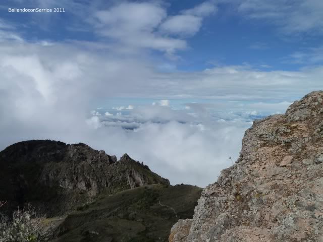
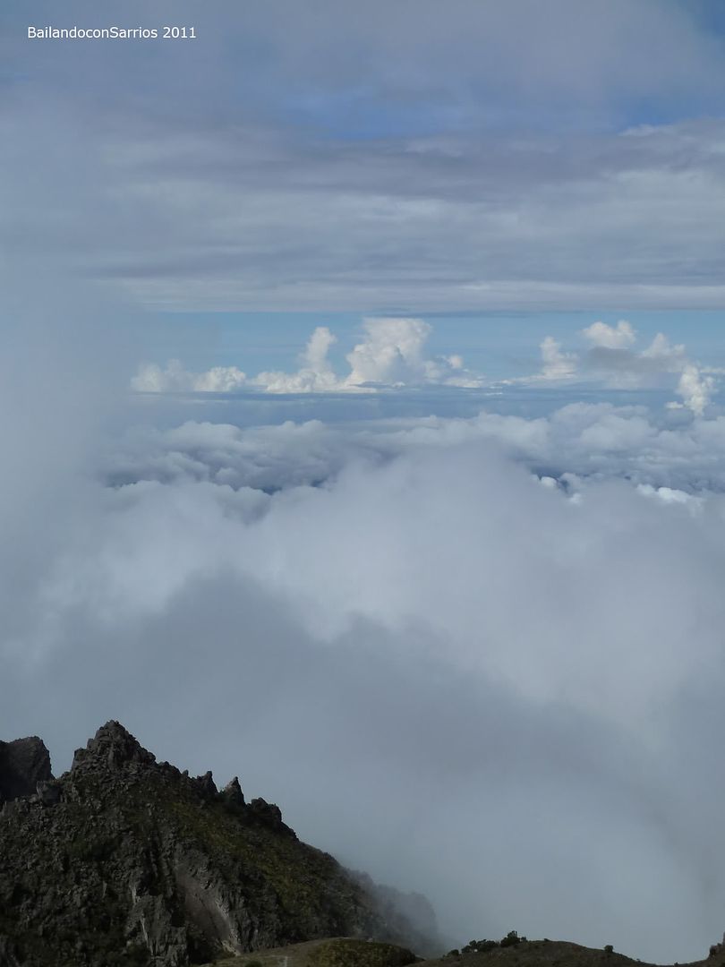
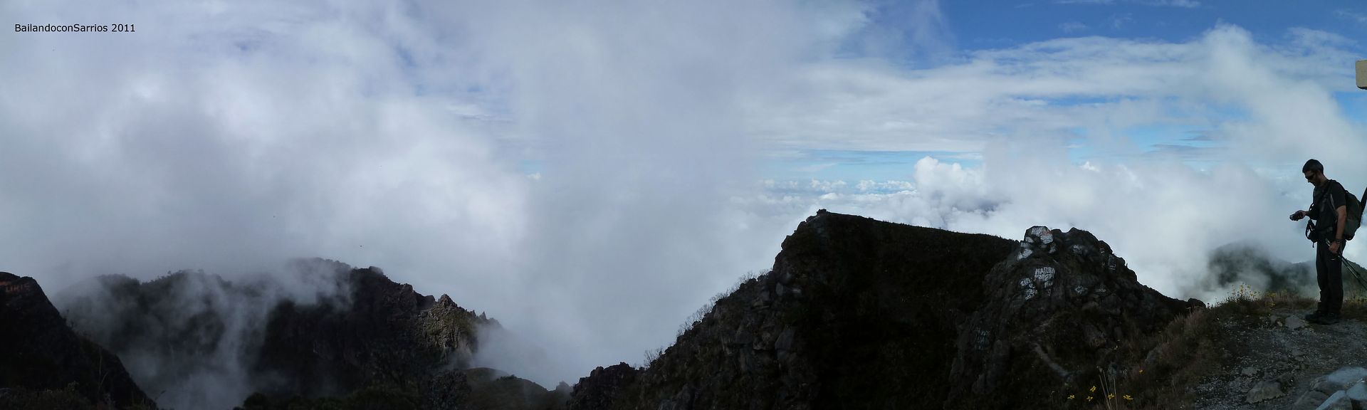
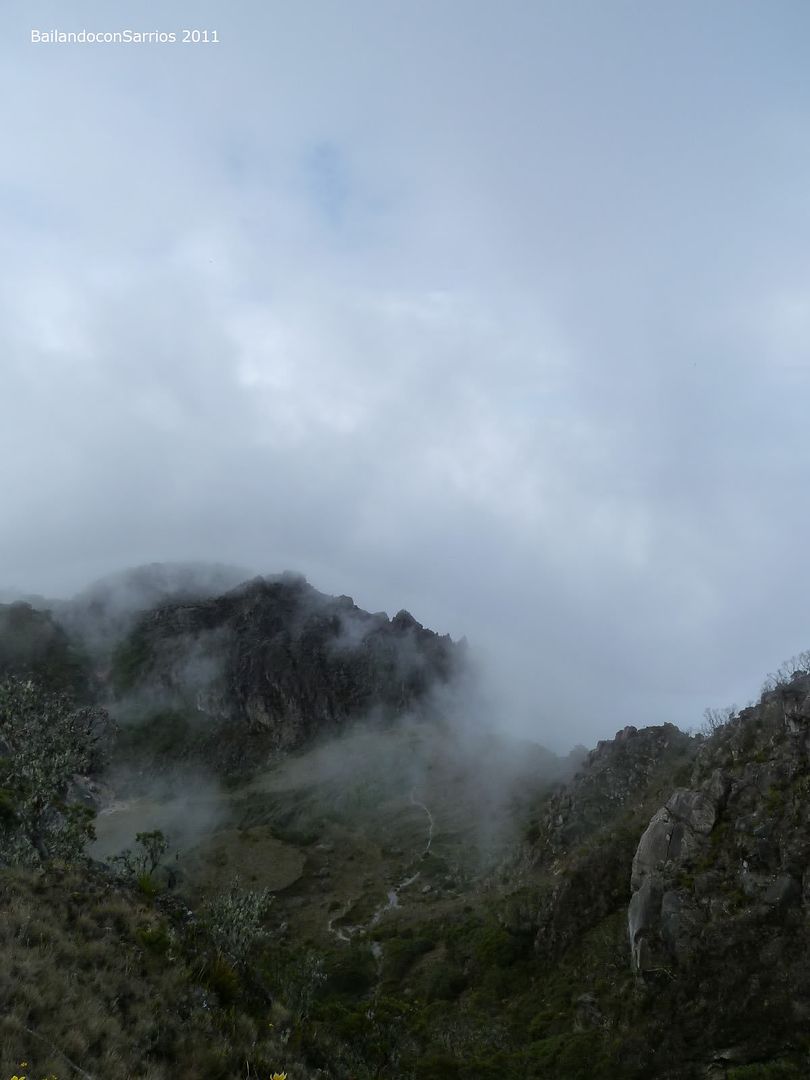
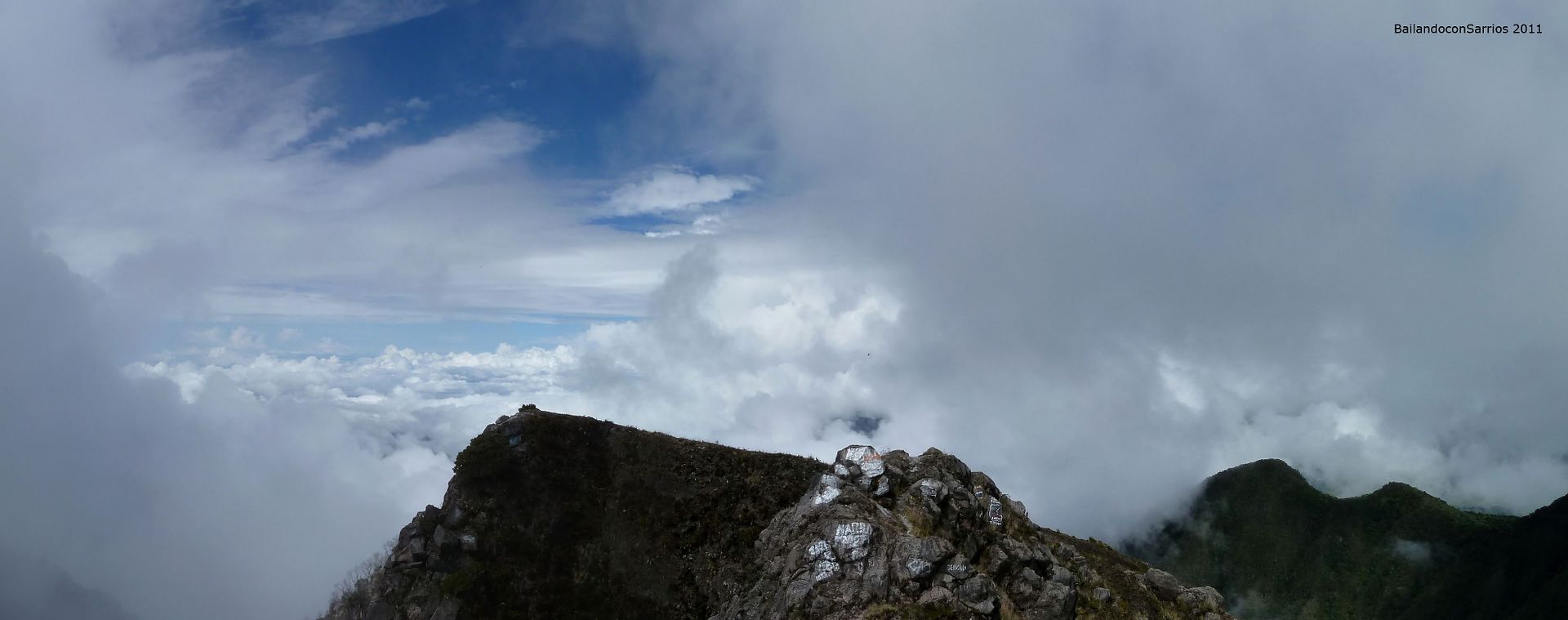
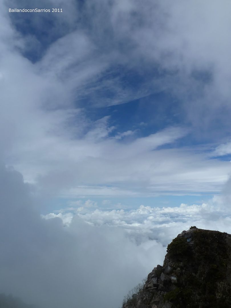
Clouds are coating the area.
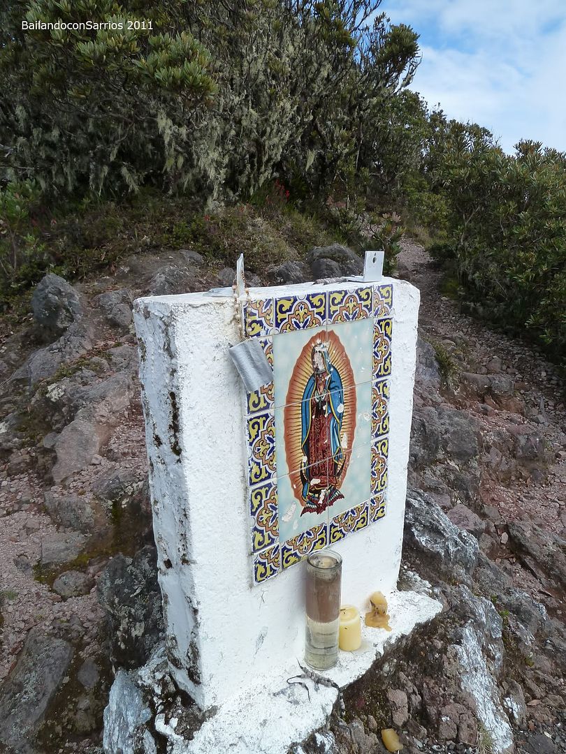
A Virgin’s scene.
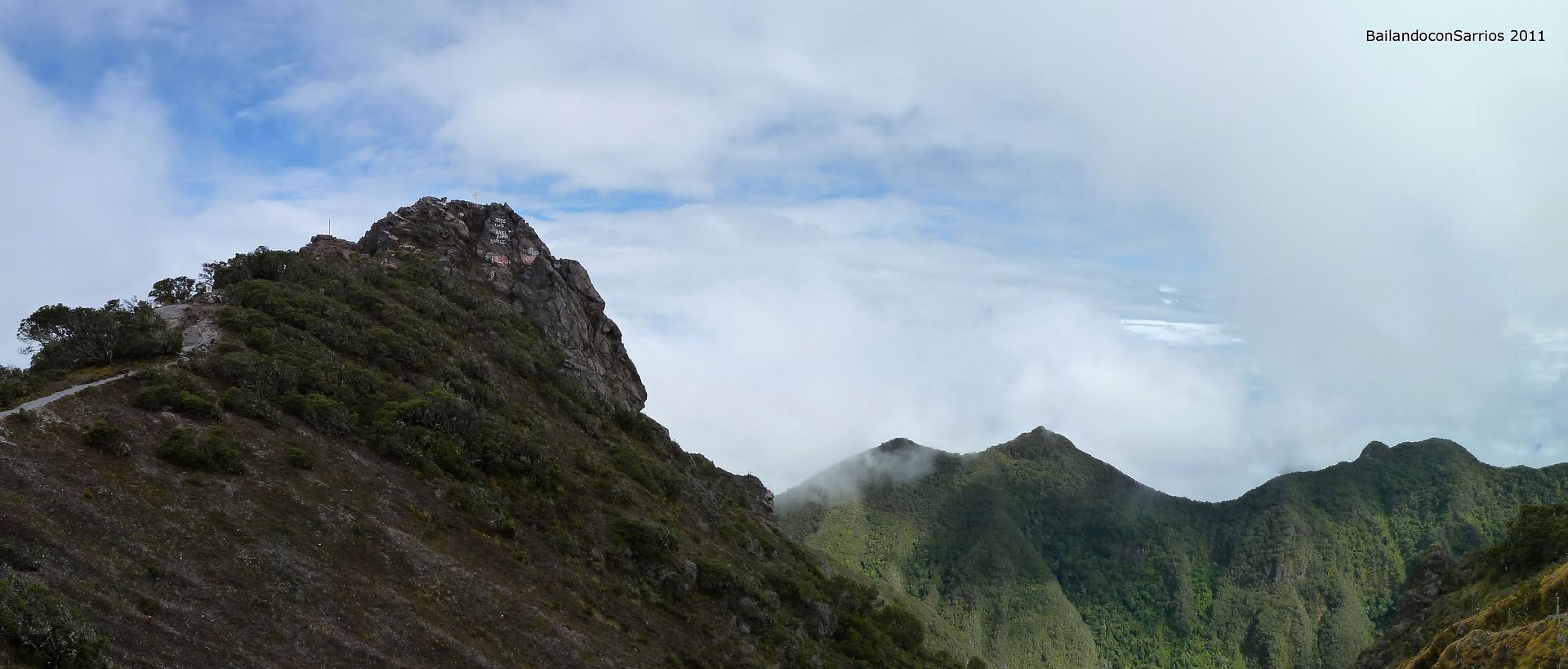
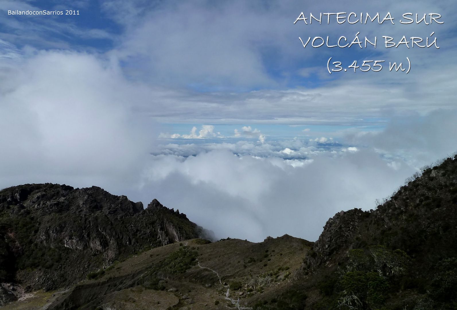
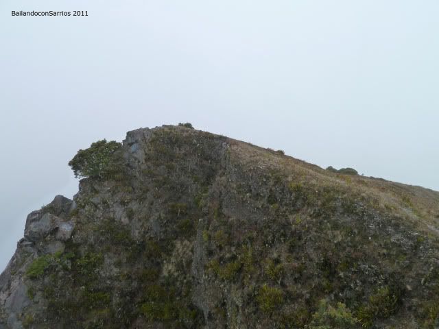
The presummit.
Pacific shore seems like no trace.
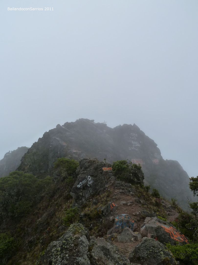
The summit from this point.
The path coming from the Volcán Village, on the west slopes.
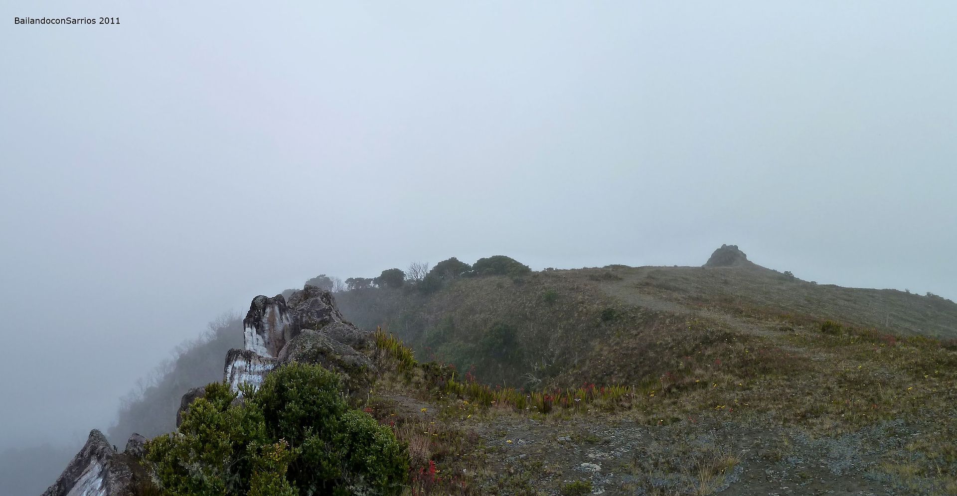
Crossing this odd crater.
Remaining meters to the end.
Definitely, Pacific area is coated.
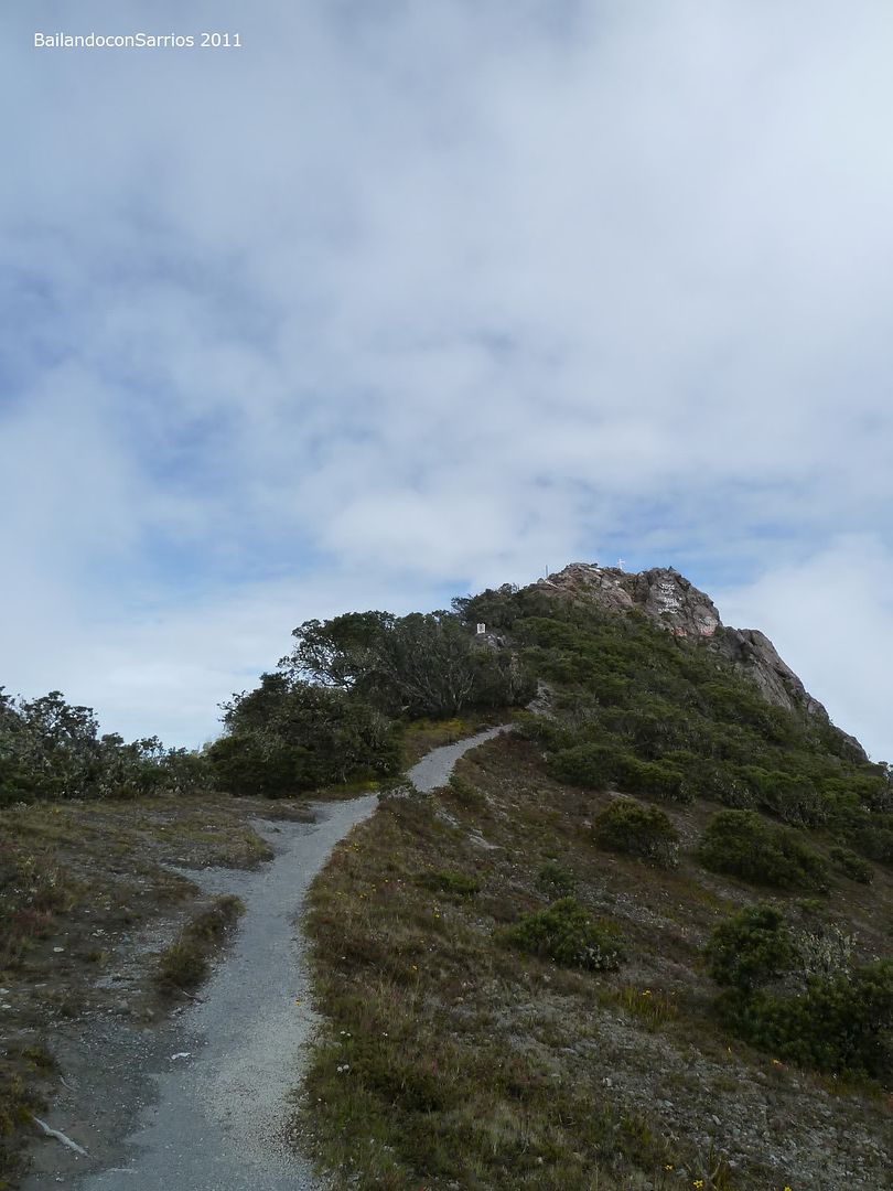
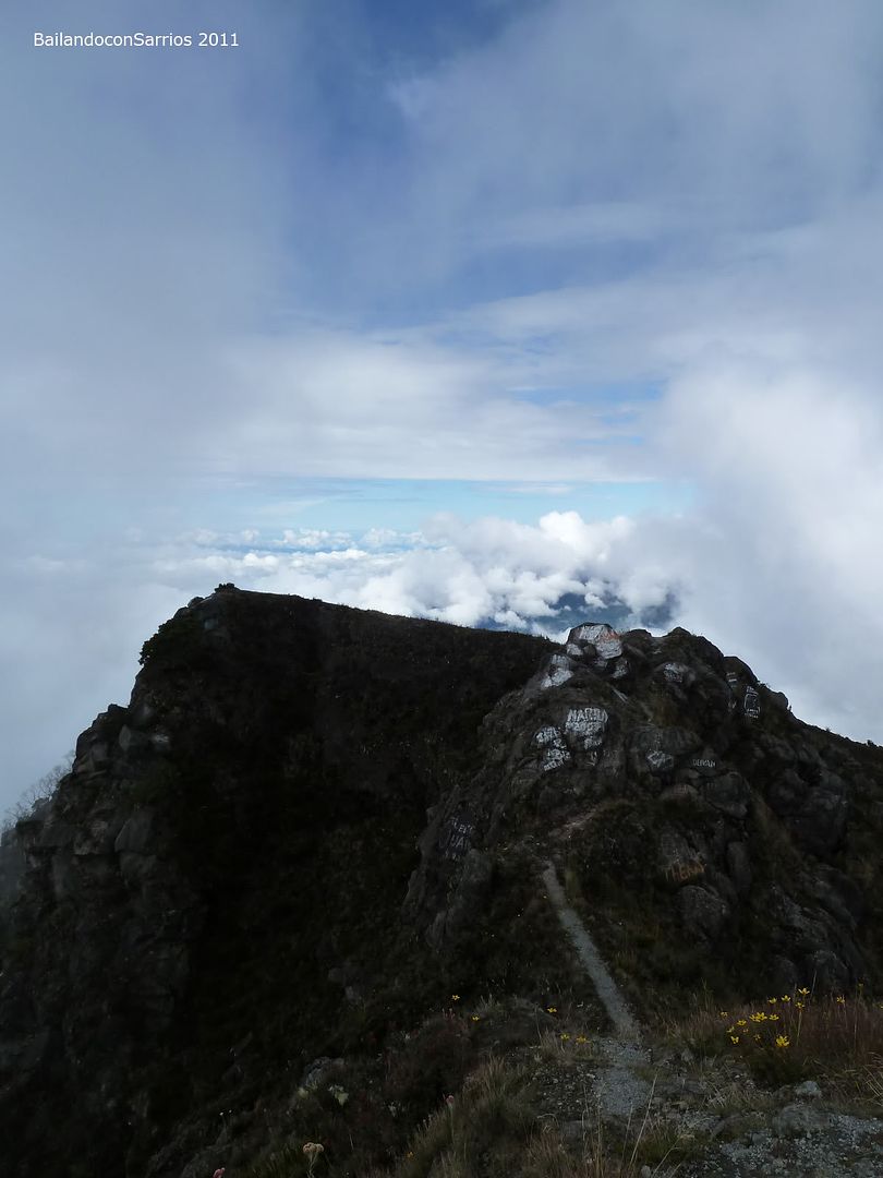
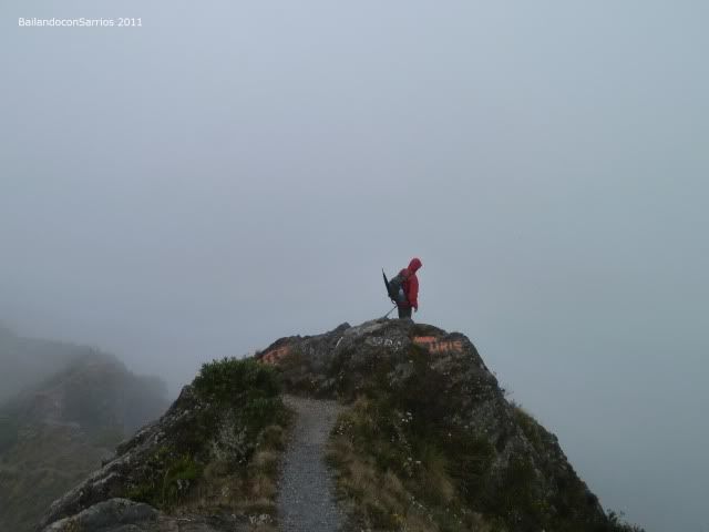
Barú Volcano South Presummit (3,455 m – 11,335 ft).
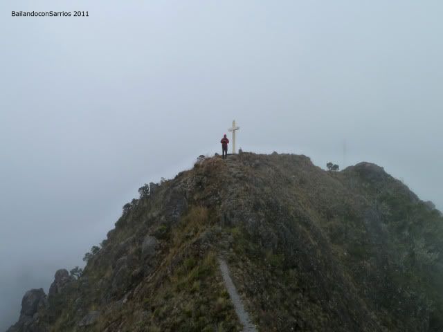
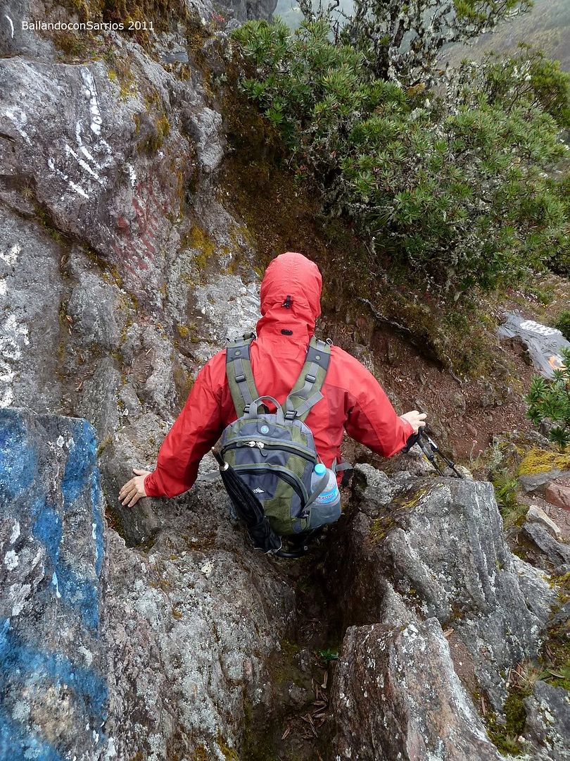
The crest to the summit.
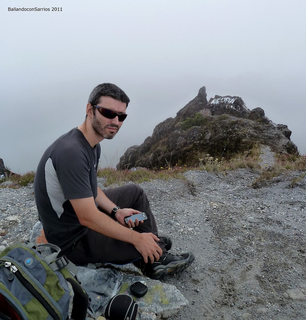
Here I am...
Mane disguises among the rocks.
These volcanic rocks.
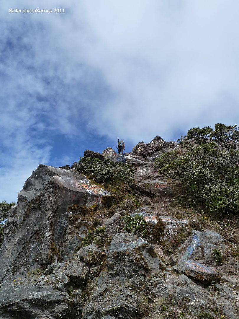
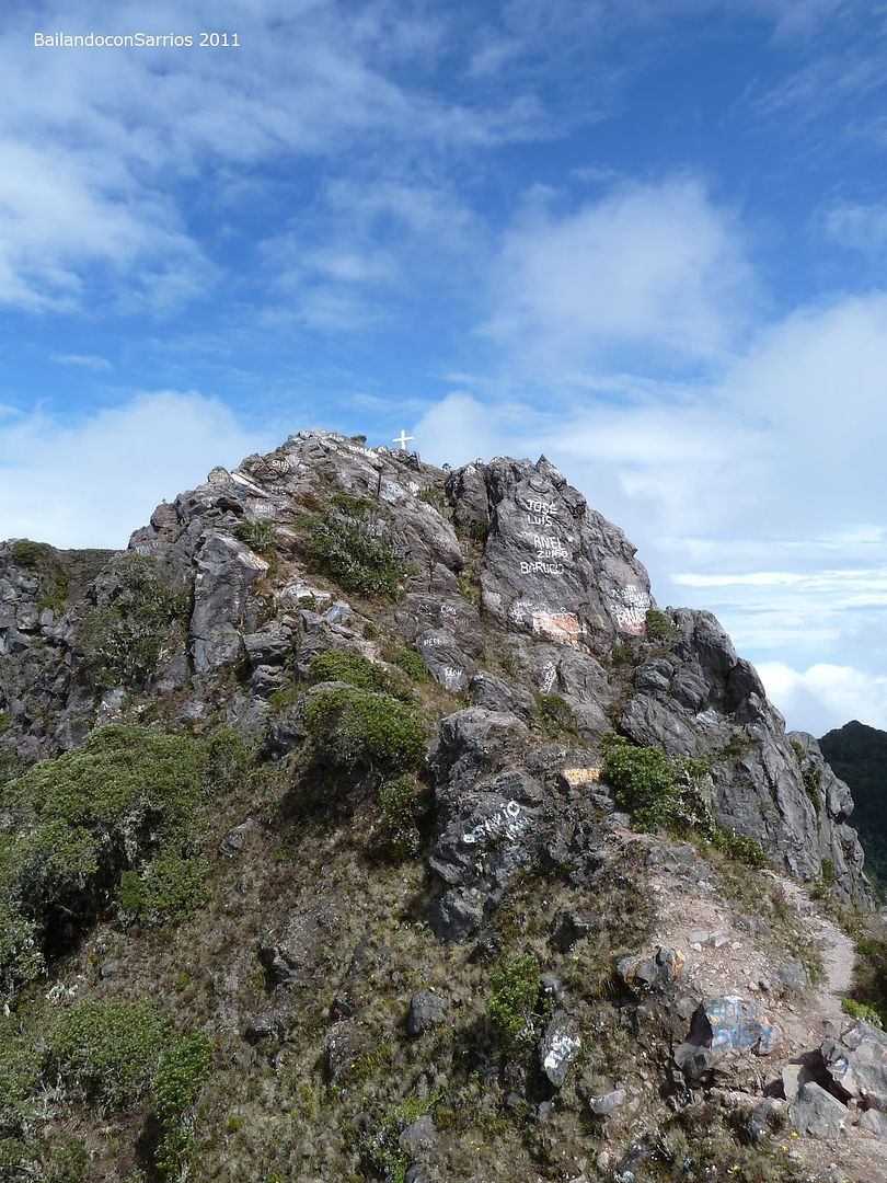
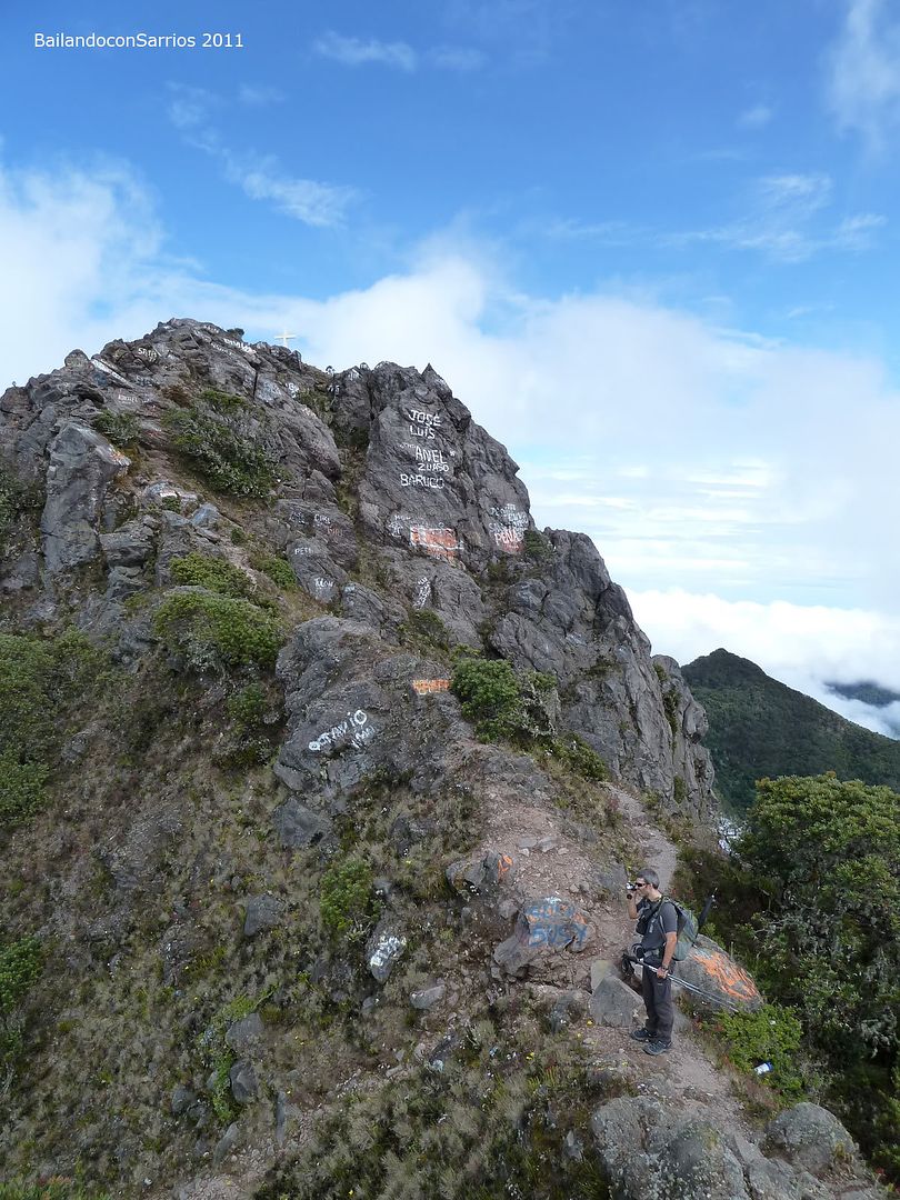
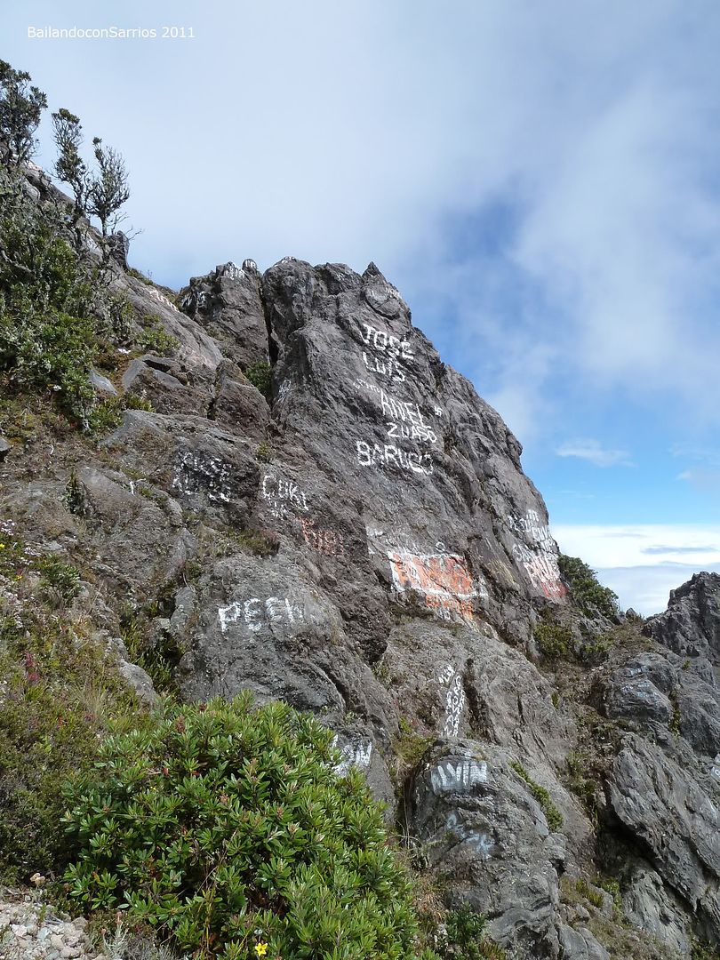
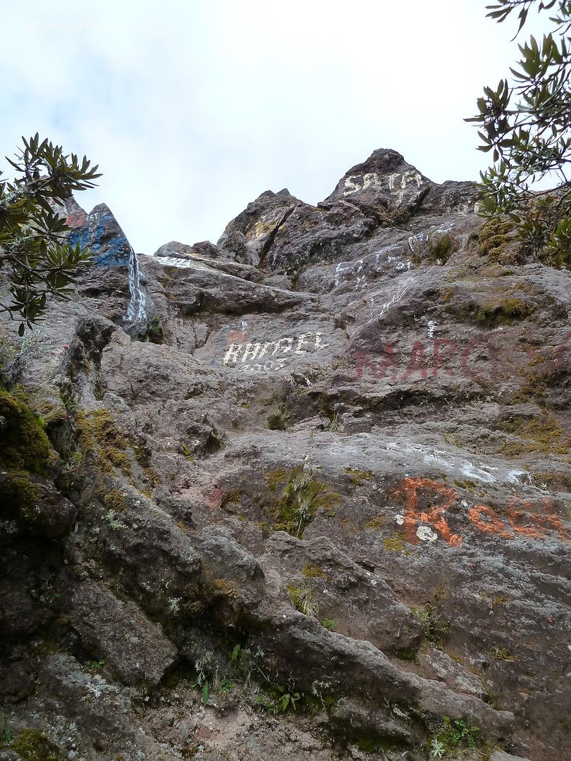
Why this mess of graffities?
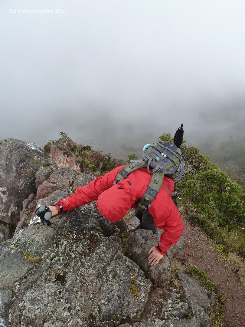
A nice scrumbling.
Seemed from the top.
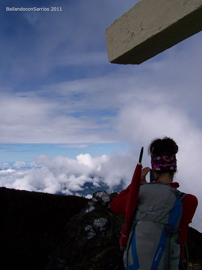
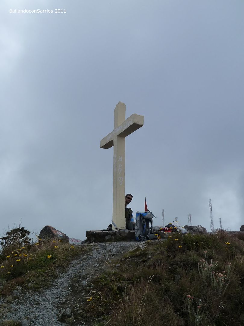
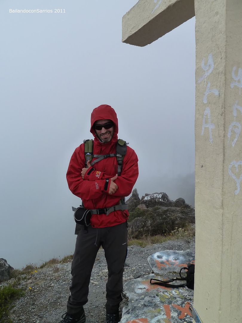
At the feet of the cross.
Surrounded by clouds.
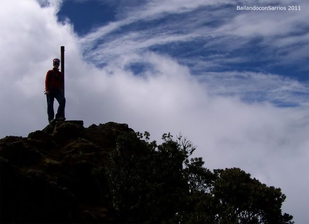
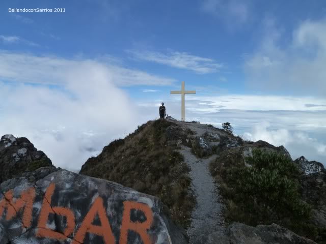
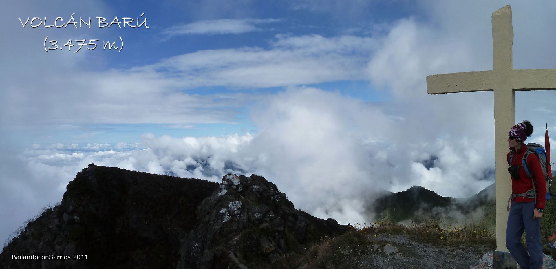
Finally reach the goal, the highest point of Panamá.
No spare view around.
The microwave antennas.
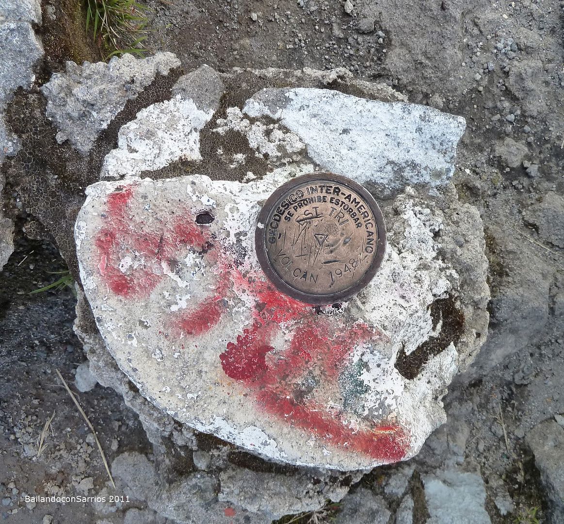
This vertex marks the higuest point in Panamá.
Clouds over Atlantic side.
Towards Pacific side can’t see anything.
Our first TOP OF AMERICAN CONTINENT.
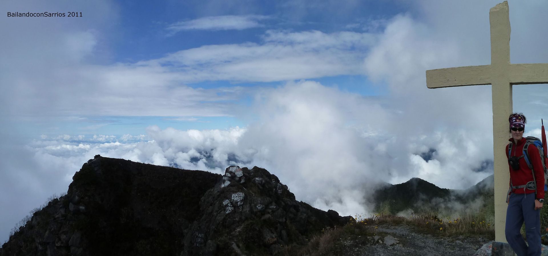
Barú Volcano Summit (3,475 m – 11,400 ft).
We’ve spent around 5.5 hours to reach here. A bit less is what remains.
I can’t imagine our classical summits like MULHACÉN or ANETO filled with paintings.
I get photographed.
The west presummit.
Panoramic view.

Seems plenty of steel.
Sending a message with our SPOT CONNECT...
Back of the cross.
The Barú cráter from the pass between the summit and the west presummit.

Almost wrapped by mists.
Over and over...
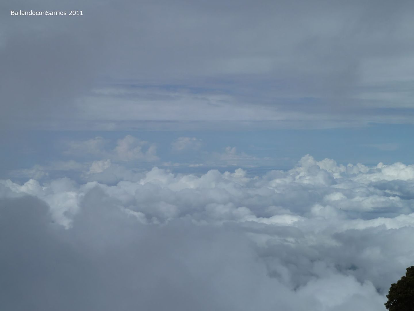
It appears like we won’t see anything on the Pacific coast.
Mane carries a GORE-TEX FABRIC JACKET he seems so proud of it! :)
Time to get back, but before I'm visiting the West Presummit.
As expected, it begins to rain.
Close to the west presummit.
Low visibility by now.
Among the rain and the fog.
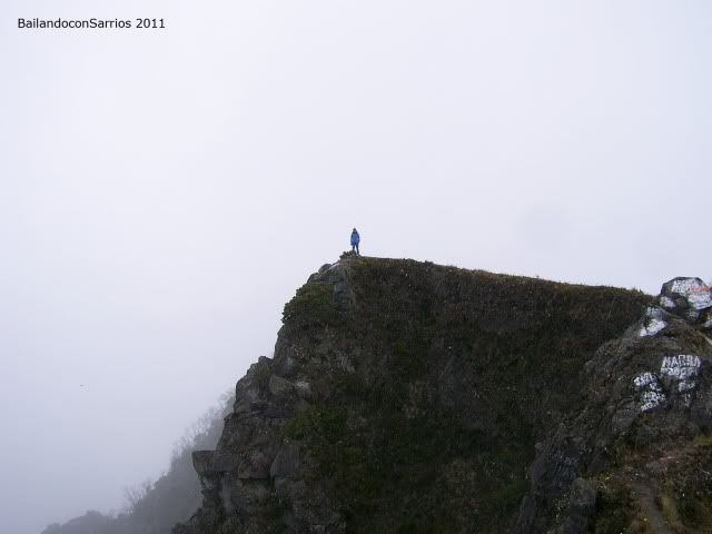
Barú Volcano West Presummit (3,470 m – 11,384 ft).
The day shall be cloudy and rainy for the rest of the day, so we get back thinking we’ll be back to enjoy the sights when possible.
Dull perspective ahead.
See you later.
Scrumbling down slowly, this rock gets slippery.
The worst pass.
Moving towards the antennas.
We almost reach to see the cross by now.
It’s a dense fog sometimes.
The big crater.
Our way back.
But first we take a look at the installation settled Southwards.
Feel so tiny in here.
We move back to the steep track next to the entrance to the facility.
Under a dull sky.
A bit less lefts.

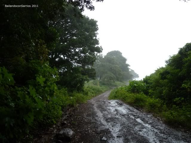
The rocky track under the rain.
Back in "Los Fogones Area".
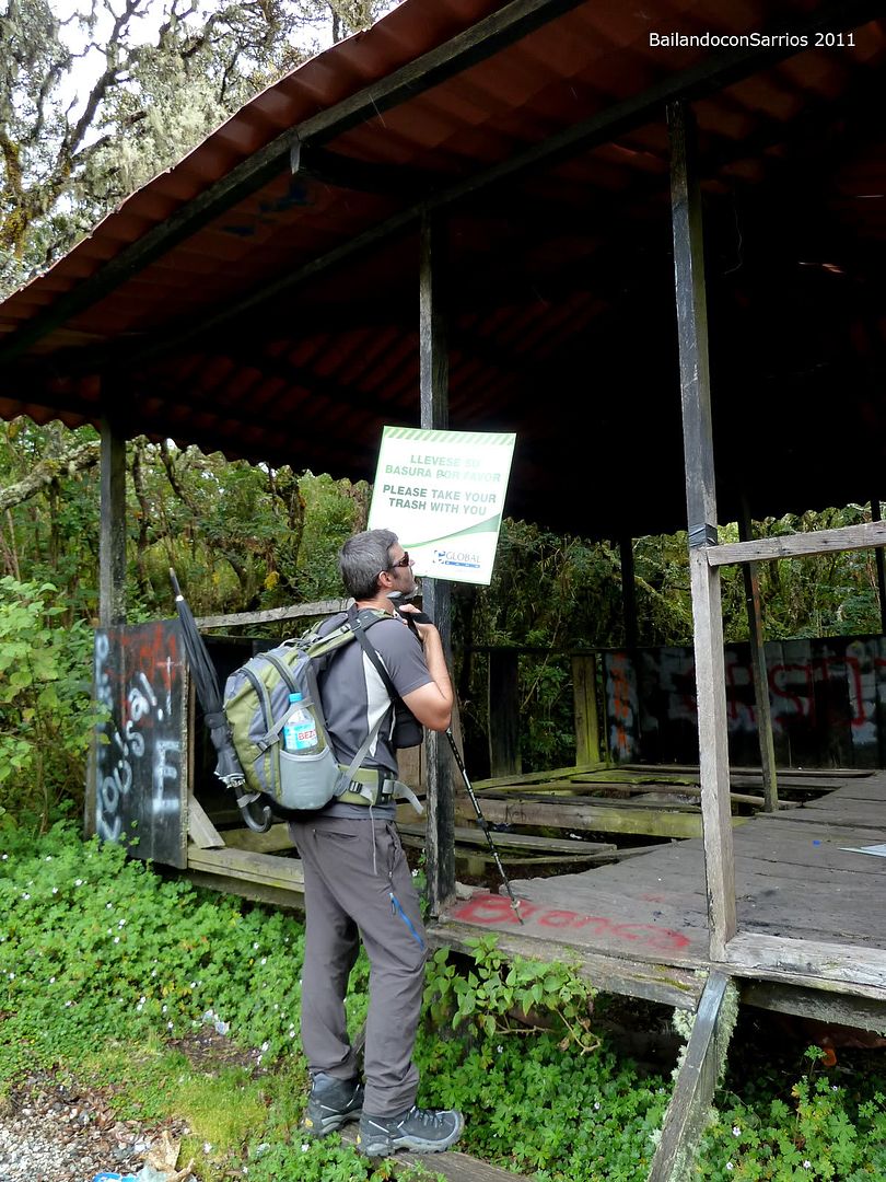
Nasty people have come here, no doubt.
Just 12 km – 7.4 miles.
A bit of blue sky rises.
Actually colourful.
Anytime, anywhere.
Canopy leaves no space.
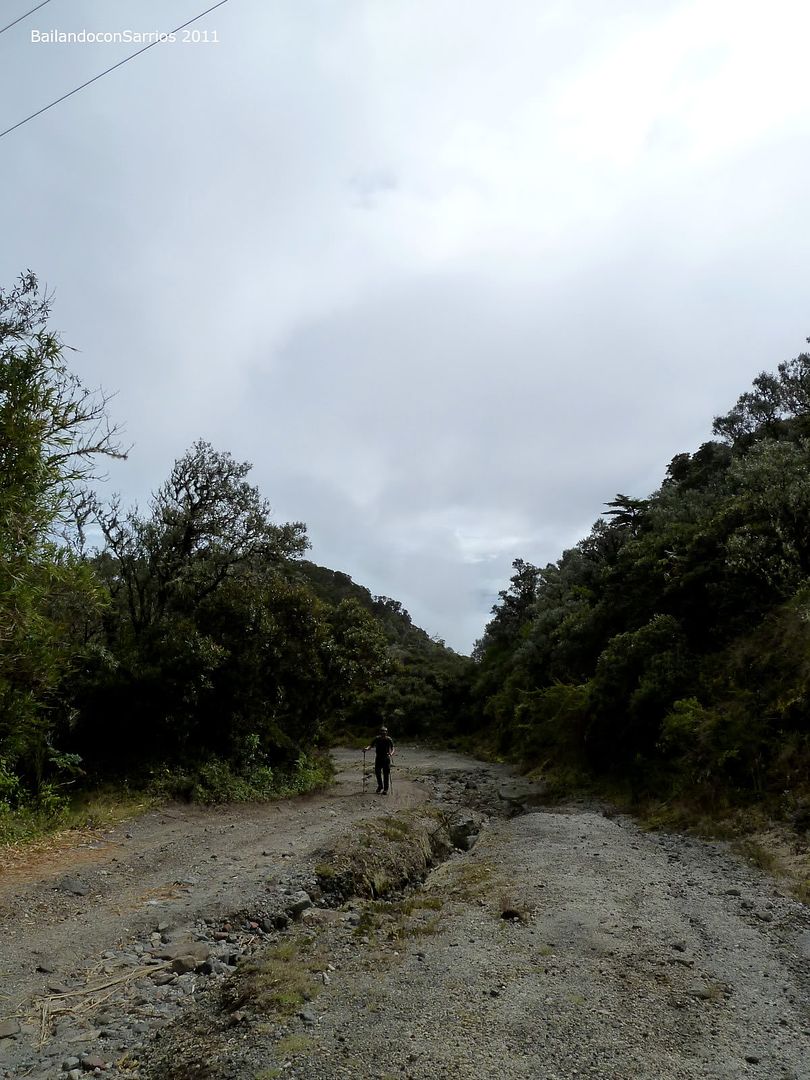
Descending towards the hollow that we passed before.
Enjoying the ride.
Back going up, the last slope, after passing the bottom of the hollow.
The steep increases.
That’s where we come from.
Stunning trees, at least for us.
Feels like high moisture.
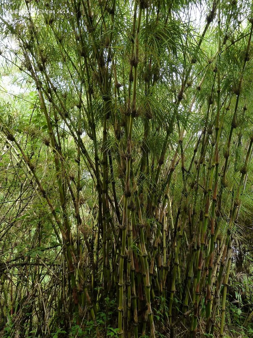
And here we find a piece of bamboo (Bambusoideae)...
Nobody around.
Back to the mist, seems magic and odd.
But beautiful.
Facing the 7.5 kilometers – 4.3 miles and 1,000 meters – 3,280 feet unevenness remaining.
The mysterious rainforest.
The well fit trees.
Always all around.

No words...
Sun almost rises.
Splendid colours.
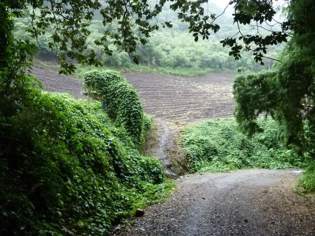
Back to the cultivations.
The best place for a short thrilling rest.
In the middle of the mist.
So here are the cultivations.
Enjoying the path hiked in the morning.
Now we can see further than when in dawn.
Magic pictures.
A short cut?
This is a private area, we’d better keep off.
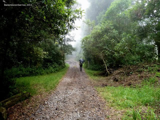
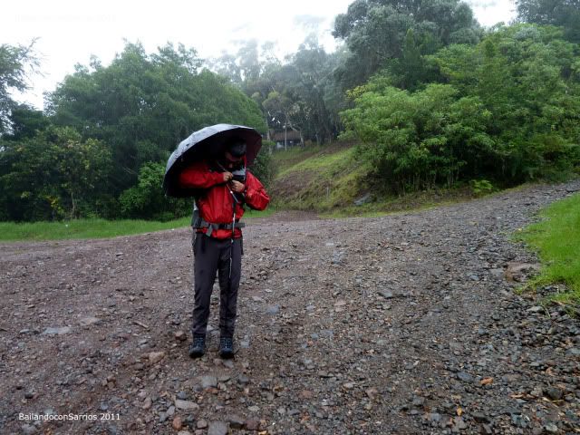
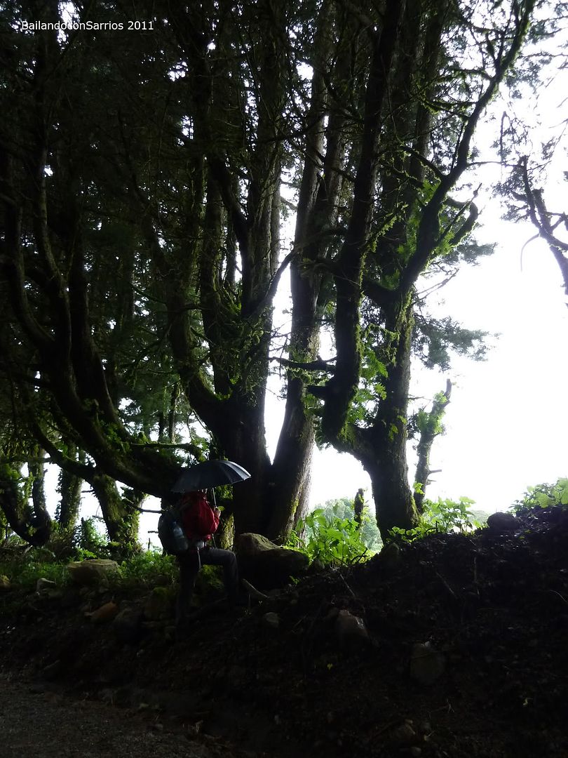
It begins to rain, as expected. Fortunely we carry our umbrellas on.
Close to the lamppost.
Saved by the umbrella.
This was the first fork we founded some hours ago; we come from the righ.
Find the iguana (Iguana sp.)??
Misterious trees, really.
Greener and greener, warmer and warmer...
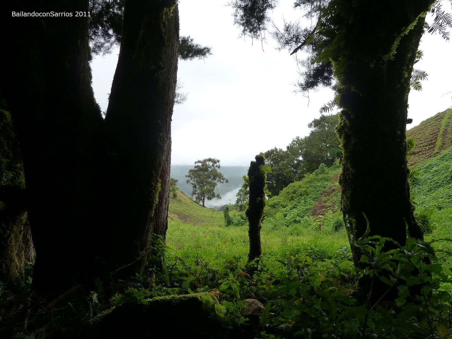
Cultivation ploughs, these must be very fertile lands.
By now, it rains heavily.
More cultivations.
Mane’s on a rush, why’s that so? We’ve only been several hours climbing and it rains like a shower.
The ranger station, not too busy, again.
We think that ANAM’s personnel must be celebrating the patriot feasts.
Back to the start point.
In this cross, find Barú Volcano signed over this post when coming from Volcancito Road.
To look for another Climbings in English Version, click on: RANK OF PEAKS. ENGLISH VERSION.
For further information about other climbing, hiking or outdoor activities in America click on: INDICE DE ASCENSIONES POR SISTEMAS.


No hay comentarios:
Publicar un comentario