Here we go again, after today's route. We are going to the Peak Veleta.
On the slopes of the Peak Veleta is situated one of the most southern ski slopes of Europe.
As we said before, you can walk almost to the top of this mountain in summer, due to the road that comes from the proper city of Granada.
Spanish version in this link: VELETA (3.398 m)
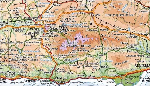
SITUATION
National Park of Sierra Nevada. Sistema Penibético. Betics Systems.
STARTING POINT
The Hut of Poqueira.
From the Power Station of Poqueira,see the approach path to the hut of Poqueira of the day 2.009/05/03.
CARTOGRAPHY
National Park of Sierra Nevada 1:40.000. Penibética Editions.
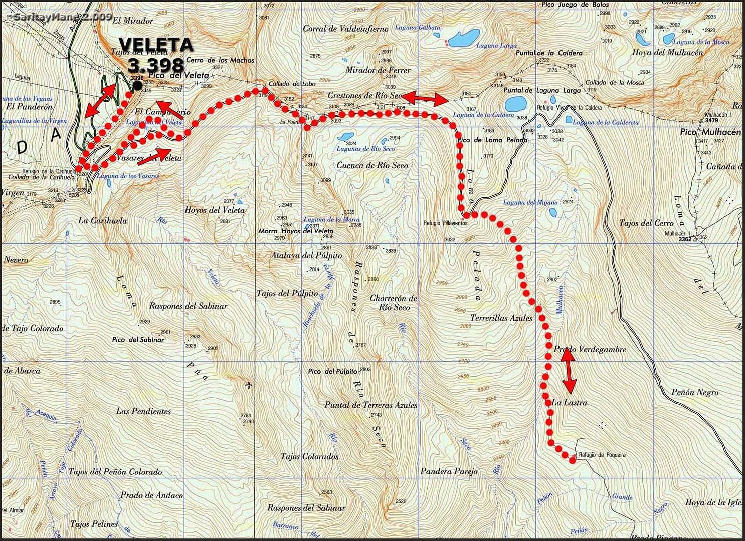
MAP THE CLIMBING TO PEAK VELETA
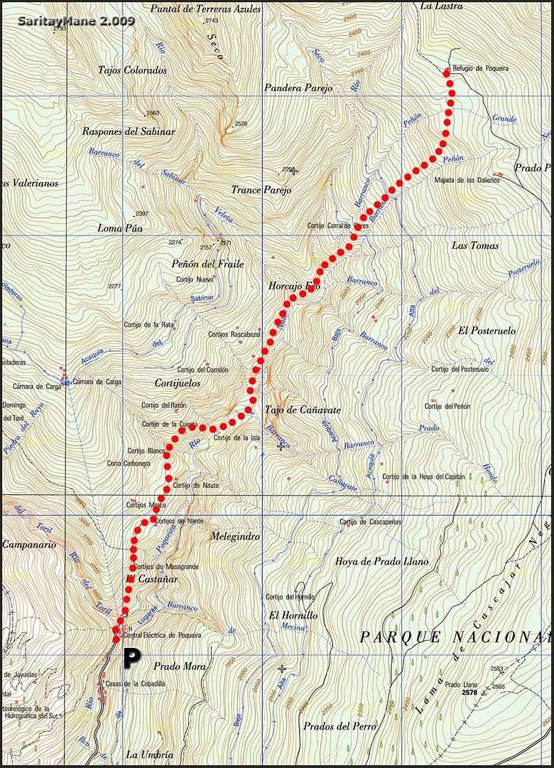
MAP FOR THE DESCENDING BACK TO THE POWER STATION OF POQUEIRA
RESUME
UNEVENNESS: 1.200 m - 3.937 ft (+); 2.000 m - 6.561 ft (-)
TOTAL DISTANCE: 23 km - 14,29 miles (including the travel for the ascending of the peak and the descending from the hut, to the power station).
TOTAL TIME: 13:00 hours.
DIFFICULTY: Medium, due the distance to the peak.
Be carefull in the area known as "Paso de los Machos" (remember the tough guys) in the South Face of the Cerro de los Machos, where the slopes gets very steep, whe snow still remains.
GEARS: Basic winter equipment.
THE CLIMBING
Wake up at 7:00 o'clock in the morning. We didn't sleep very well, but have recovered ourselves.
It's more windy than yesterday, we suppouse it must be hard blowing up there so, are we in a hurry??
Today we're the last ones leaving the hut.
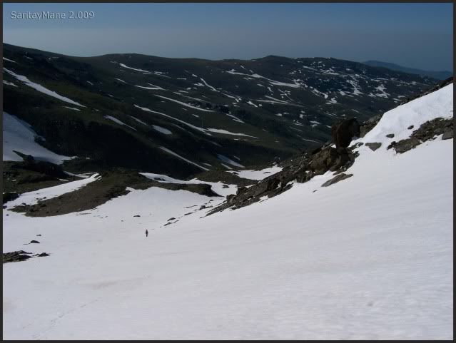
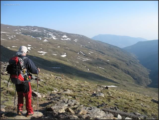
Start walking by the side of the Mulhacén River, the normal way.
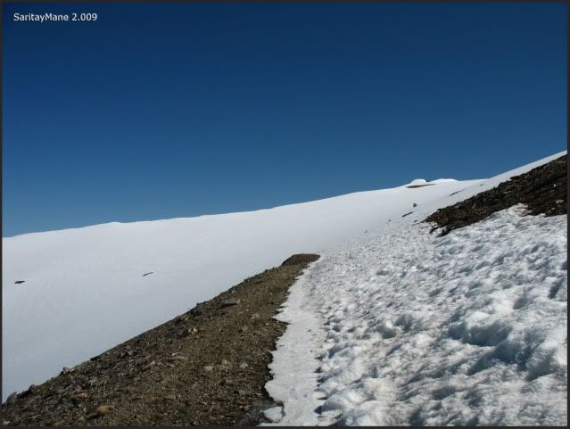
The beggining of the path.
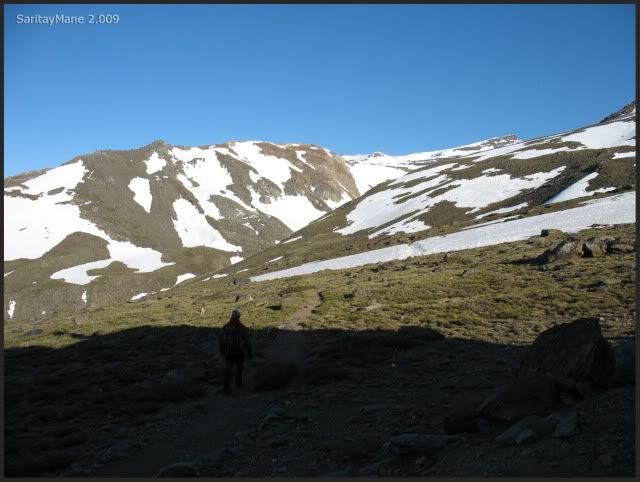
Down to Mulhacén River.
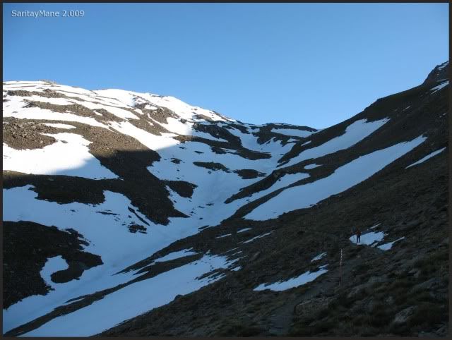
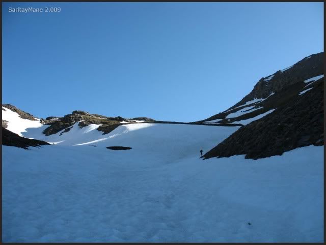
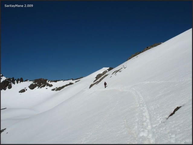
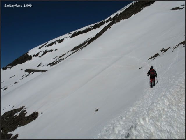
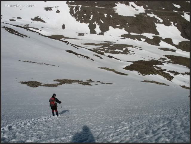
Snow all the way.
So we put the crampoons on.
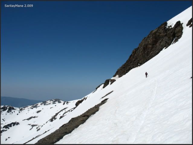
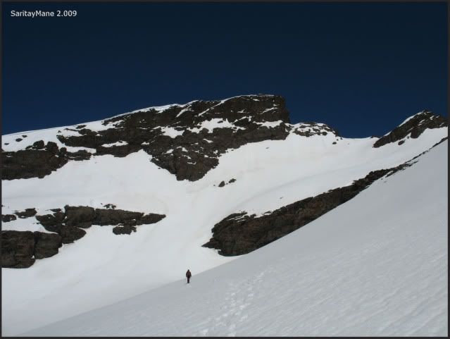
And go through the slopes at left-hand; not for those others!!.
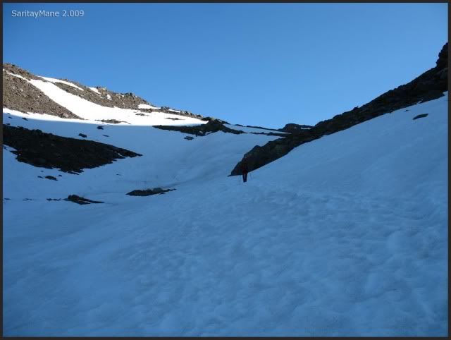
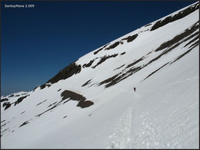
Now we are covered by the sun.
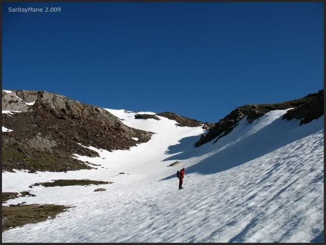
After that slope.
The course gets smoother.

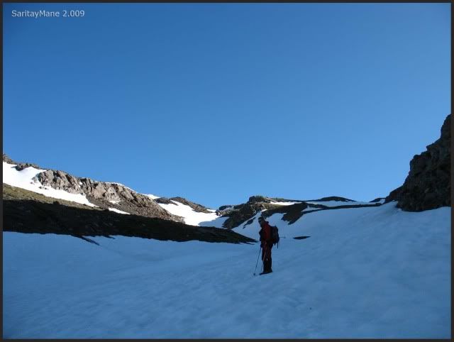
Untill now.
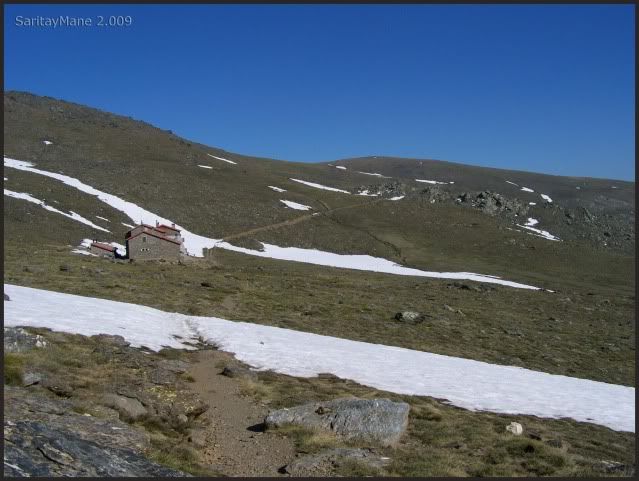
Looking back over one's shoulder the hut.
And the great Mulhacén, watching.
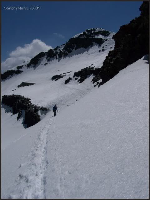
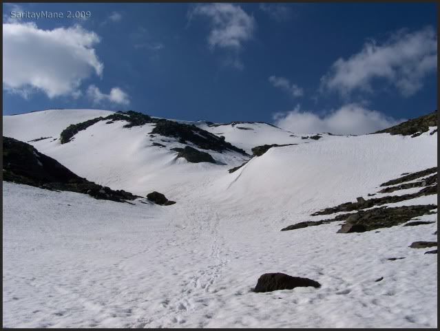
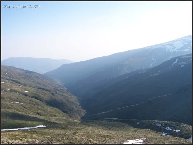
Untill the area named "Loma Pelá" (see the maps).
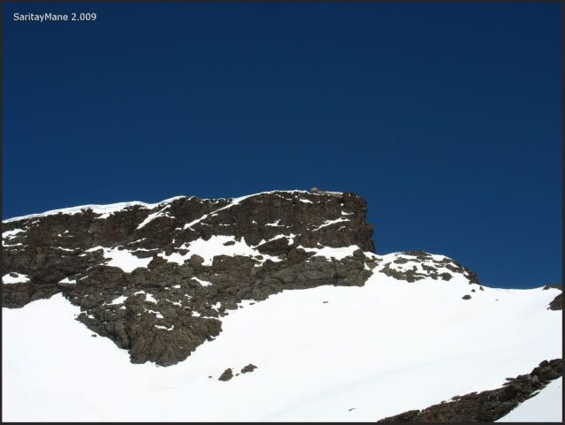
The Hut of "Pillavientos" (something like windtaker).
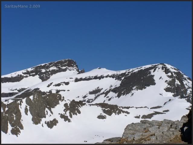
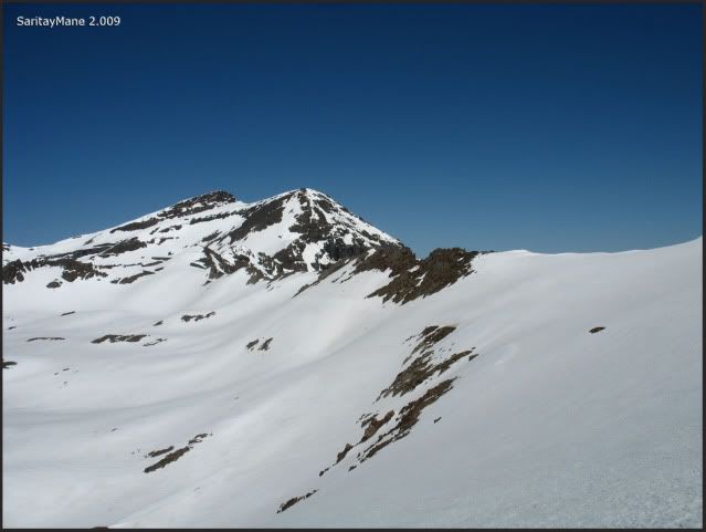
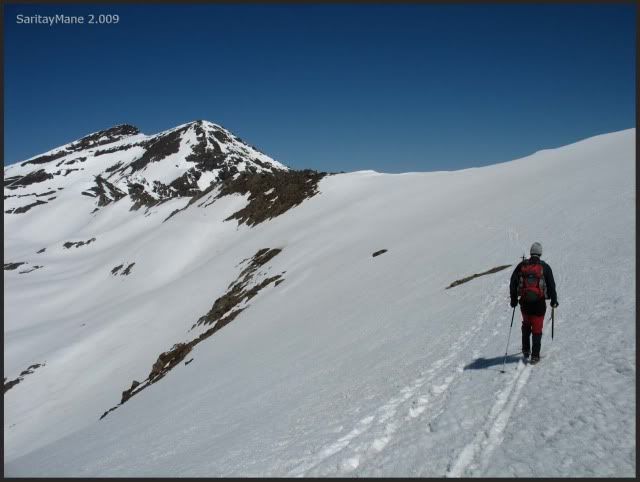
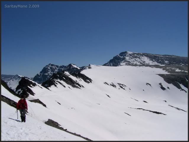
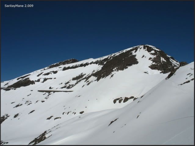
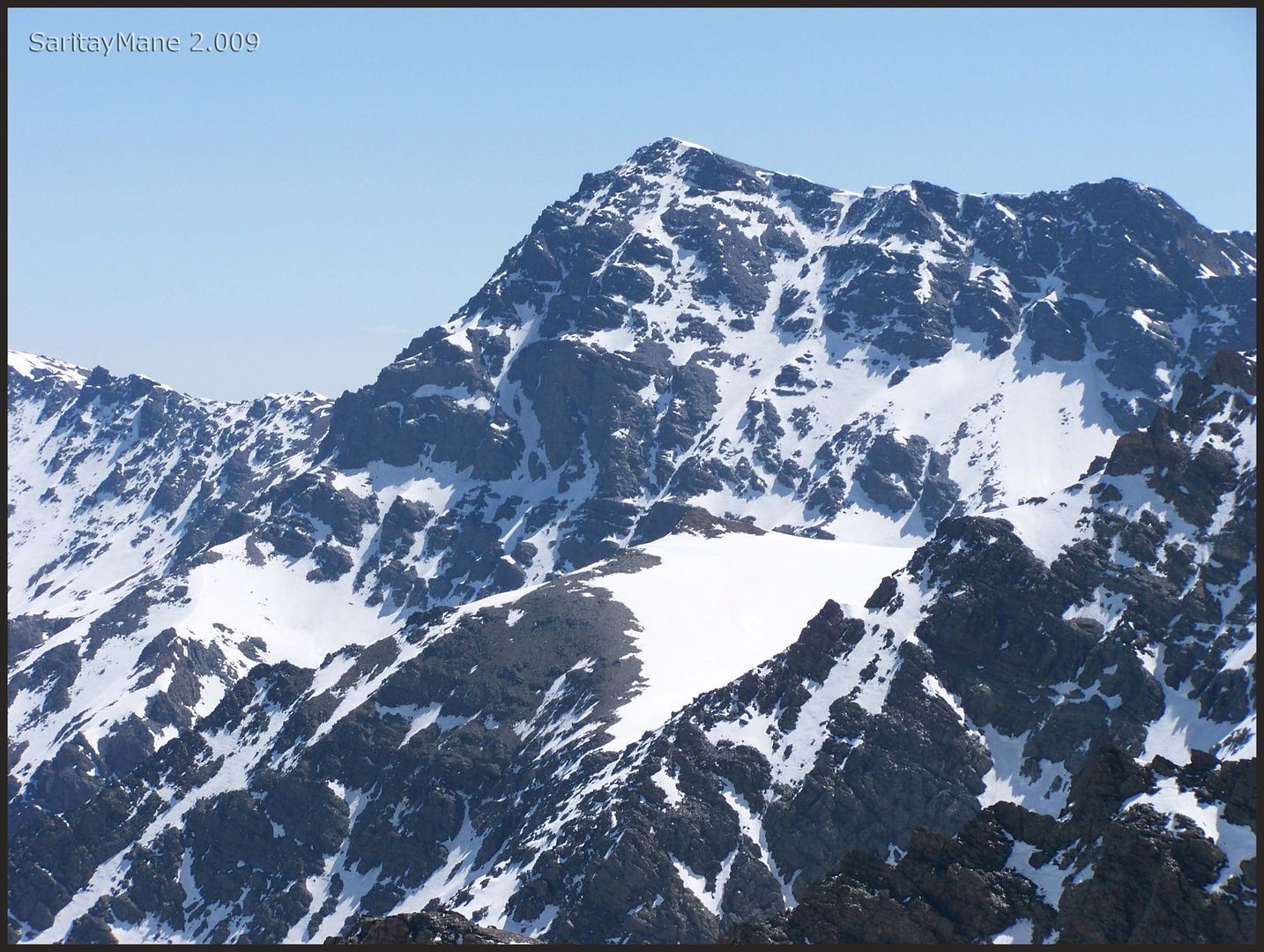
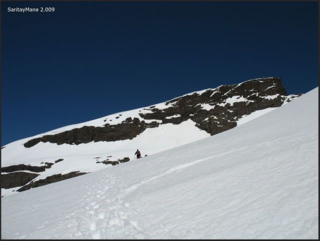
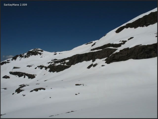
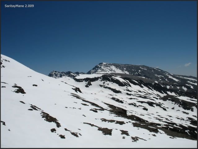
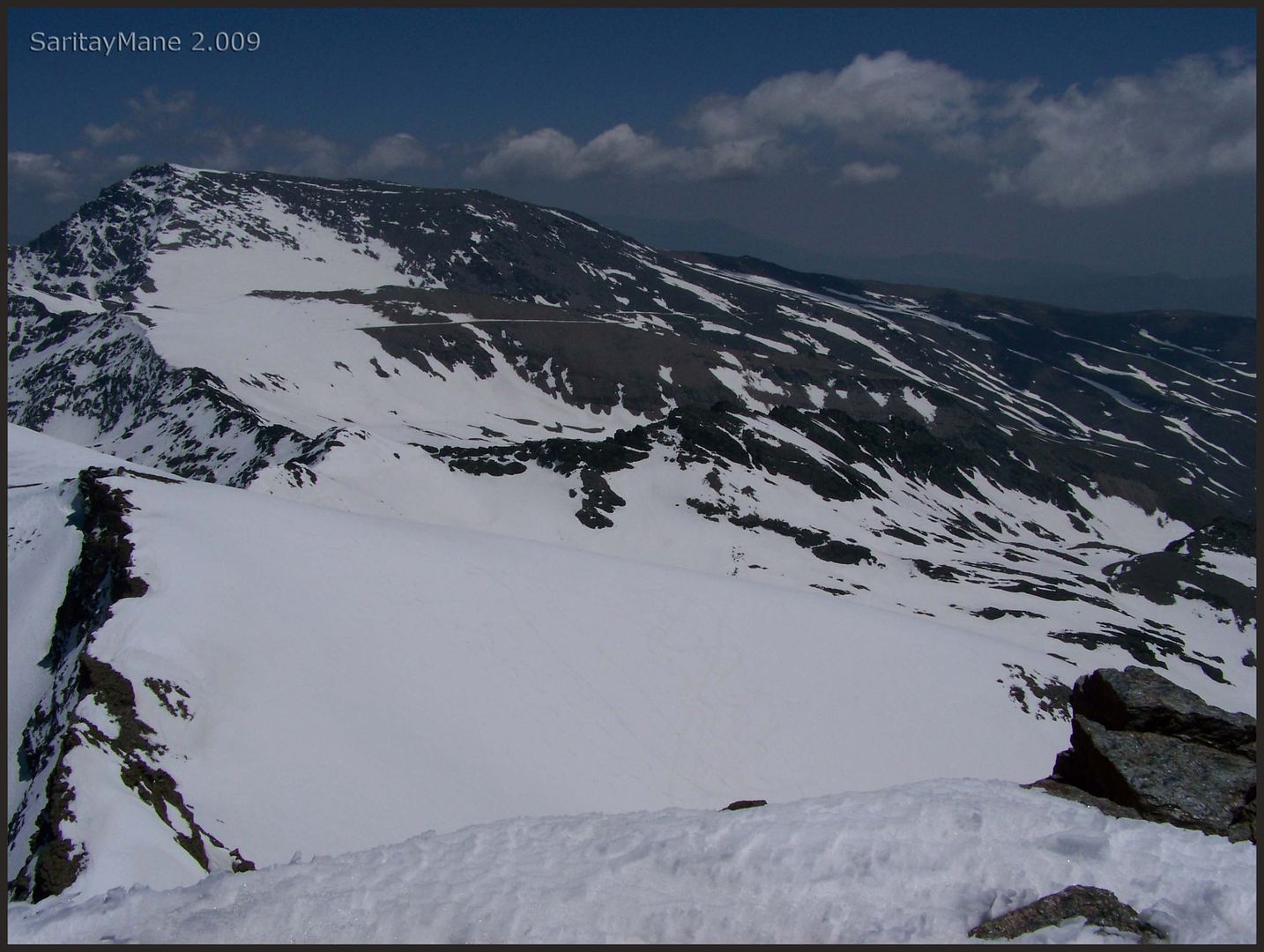
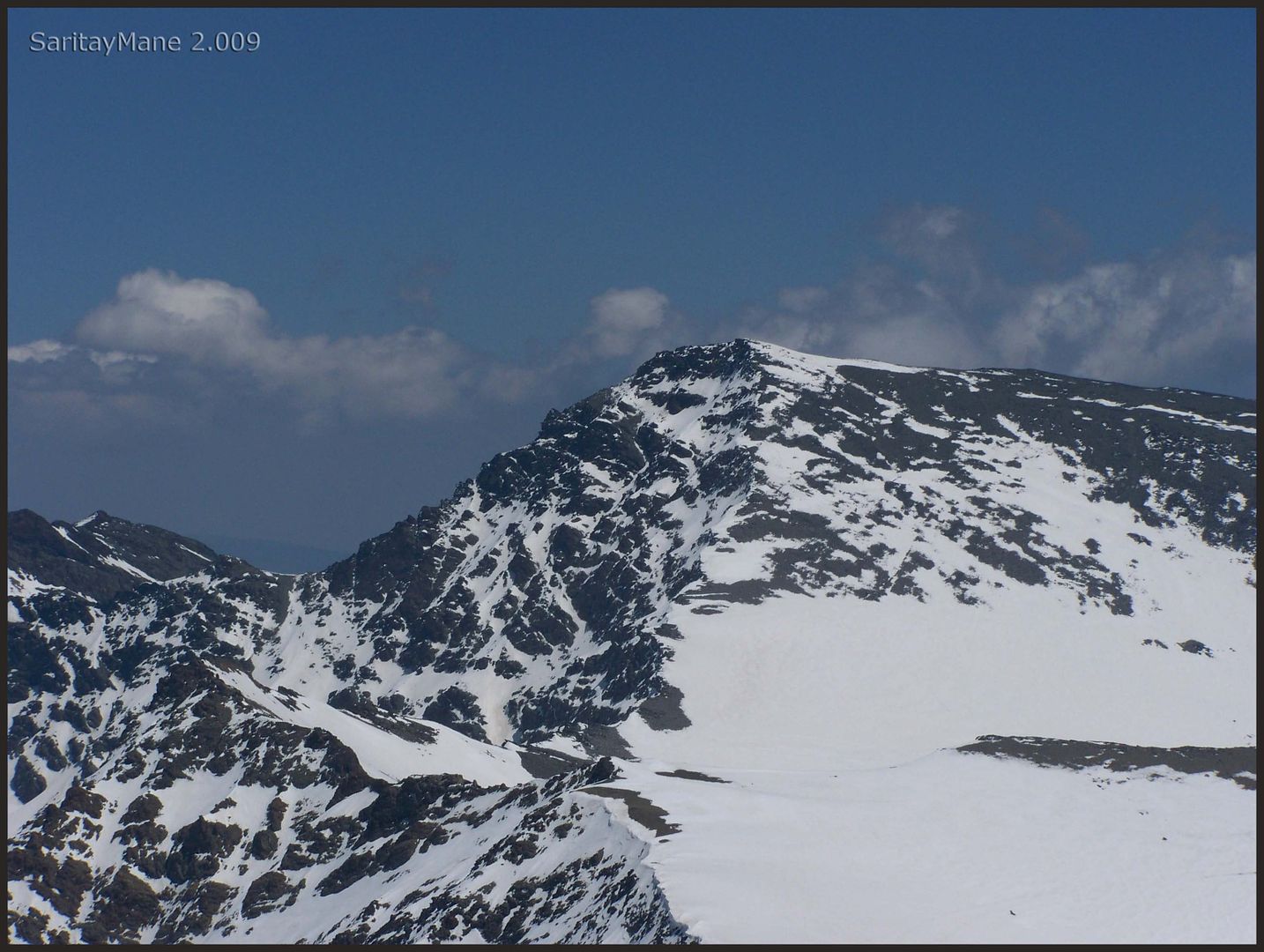
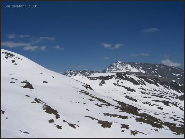
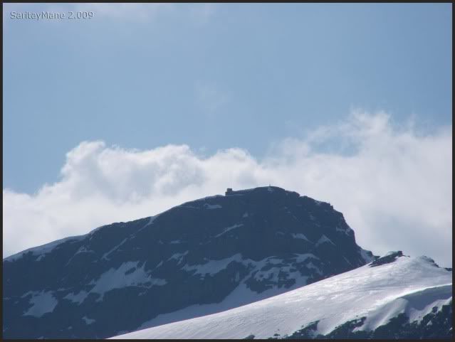
The Peak Veleta seems more near.
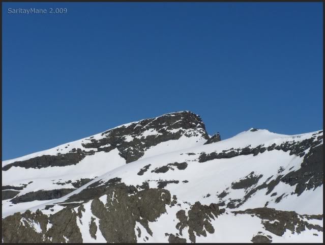
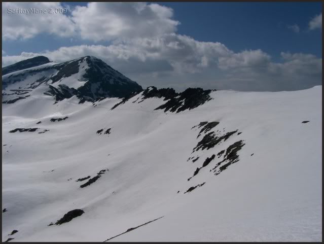
And the Cerro de los Machos.
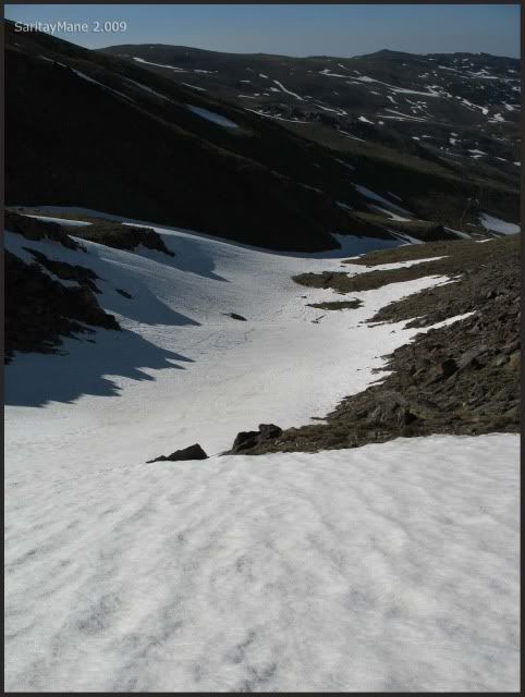
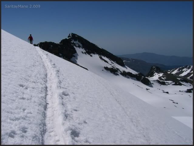
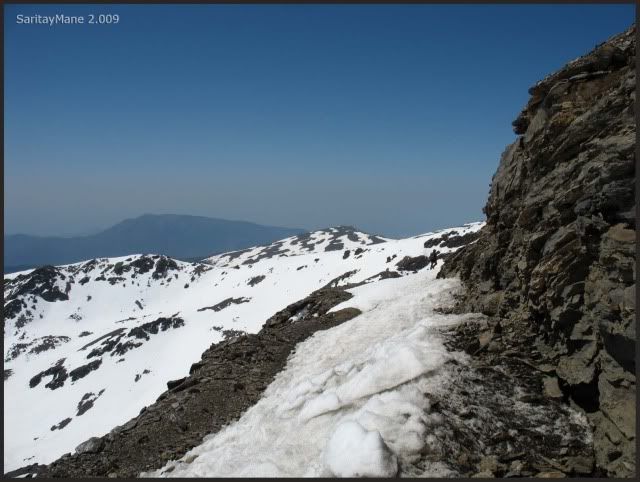
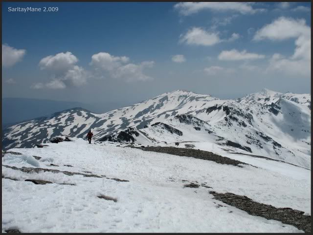
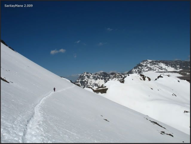
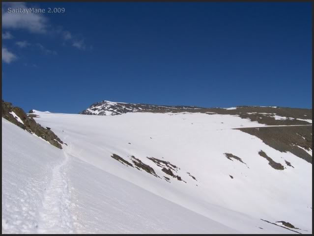
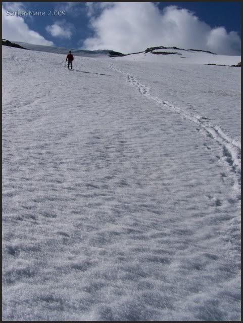
And the trail, most covered by the snow.
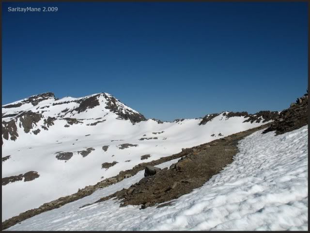
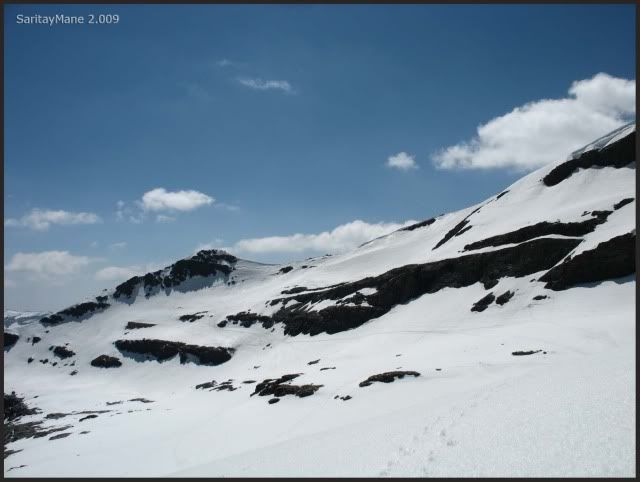
Remember you must always walk by the track, surrounding the slopes to the Veleta.
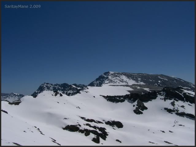
A pan photograph.
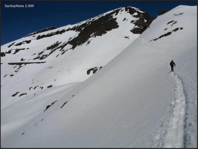
And start walking by the track the "Carril", remember we talk of this way in yesterday's route.
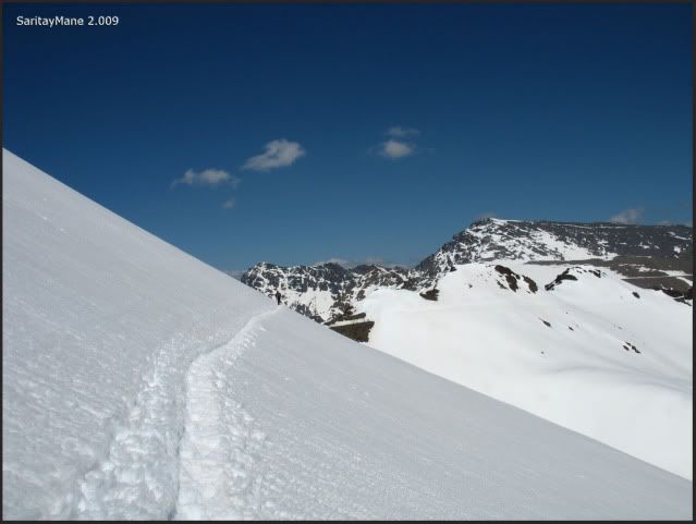
The rail drives us directly to that pass, near the Cerro de los Machos.
Follow the footsteps.
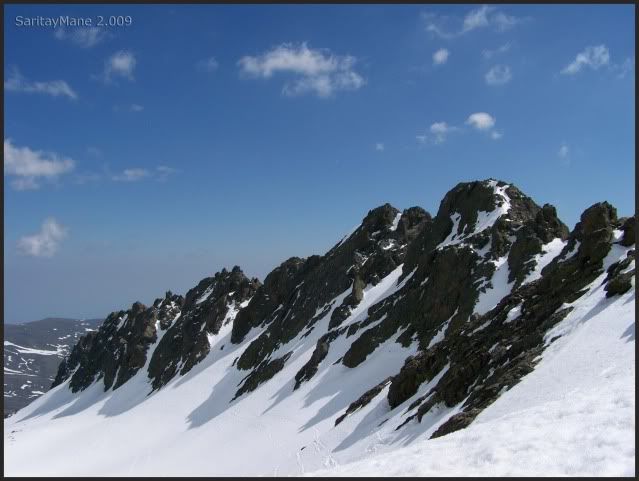
A great ridge at left-hand.
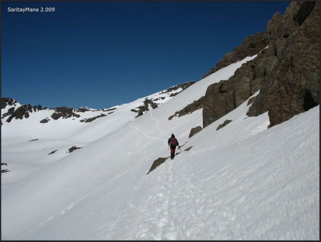
Without stop.
Looking at the East.
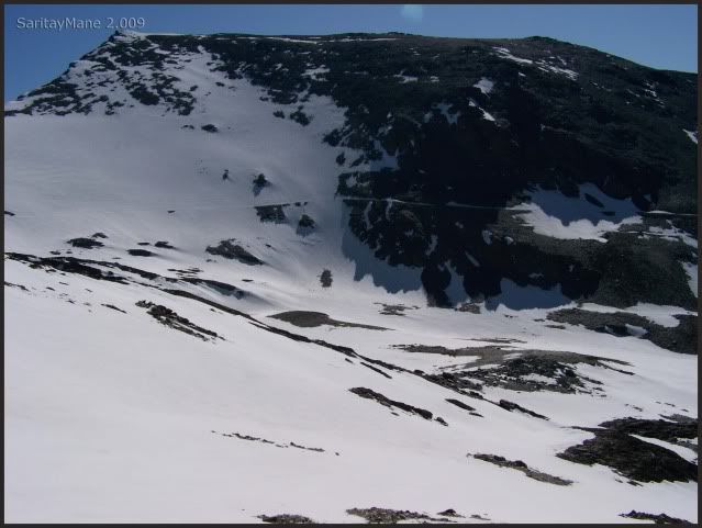
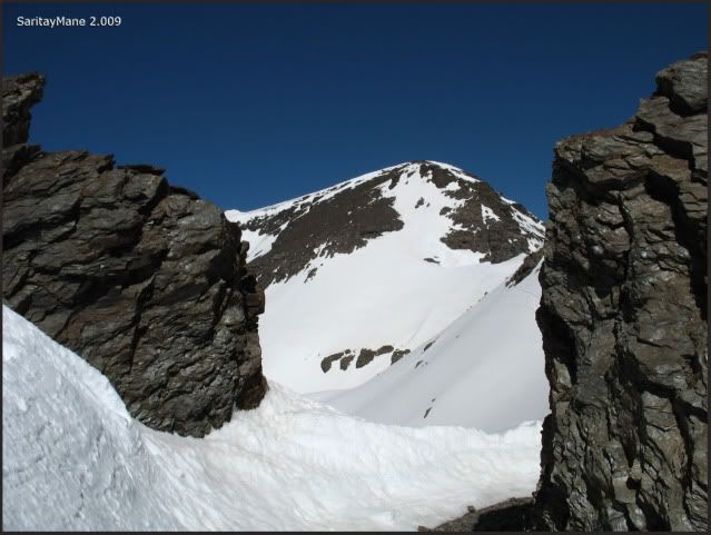
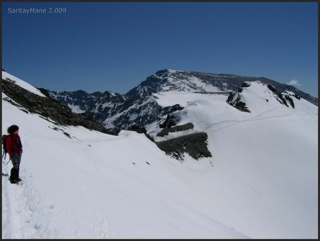
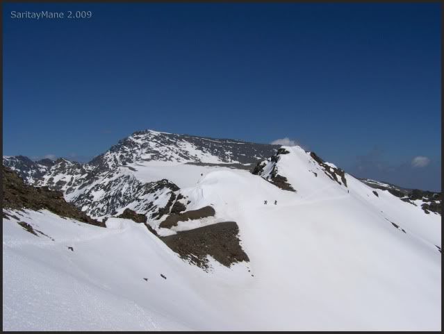
Here is the pass, see the footsteps in the slopes on the right, in the background, the Cerro de los Machos.
We go now to the "Collado del Lobo" (pass of the wolf).
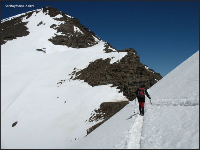
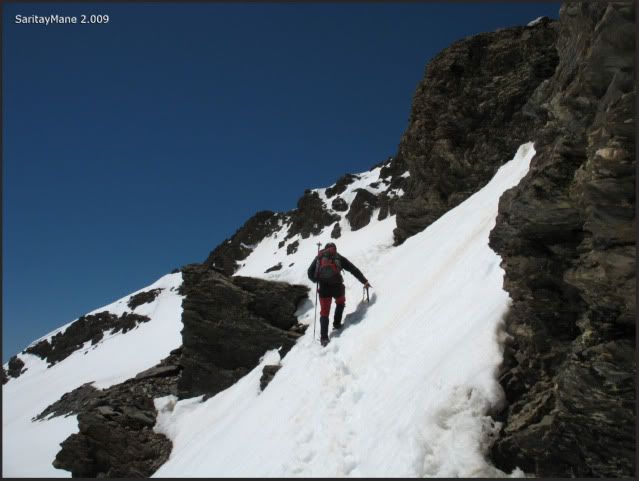
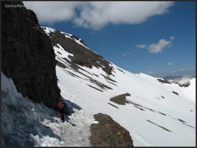
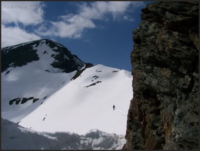
Take care of your steps here, this is the Paso de los Machos.
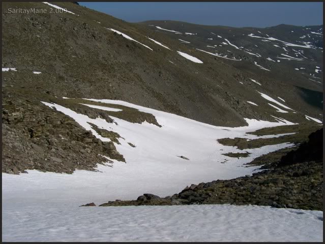
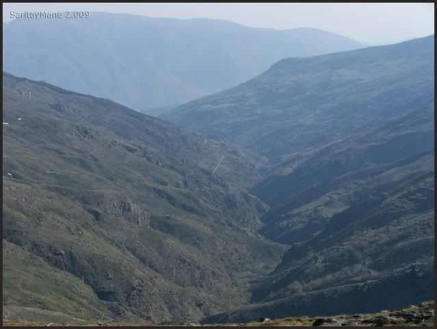
And the Ridges of the River Seco (Raspones de Río Seco).
Being careful, this is a nice ride, so let's have some fun.
Thankfully, there is a clear footstep.
Near the Collado del Lobo.
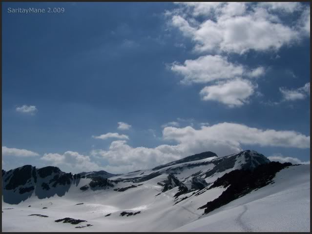
Where, we see the North Faces of Mulhacén and Alcazaba.
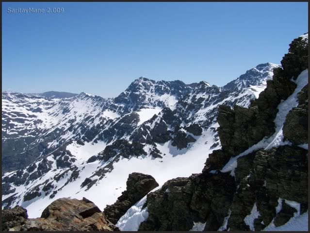
Specially the Alcazaba.
We'd better be here for the rest of the season.
But we have to continue.
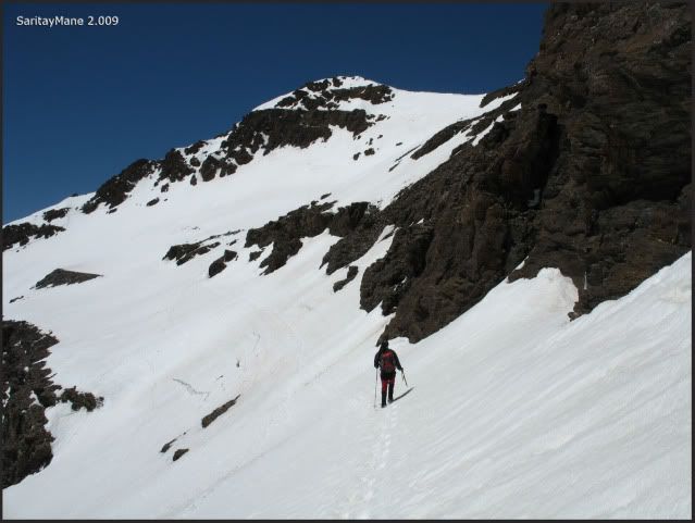
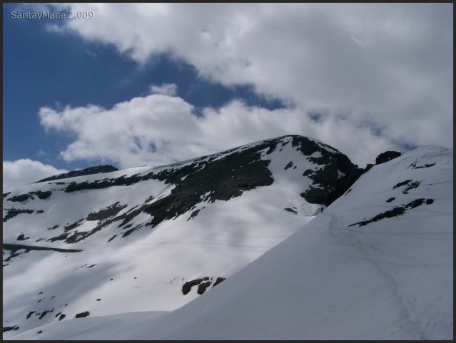
Bordering the South Face of the Cerro de los Machos.
Looking back, from time to time.
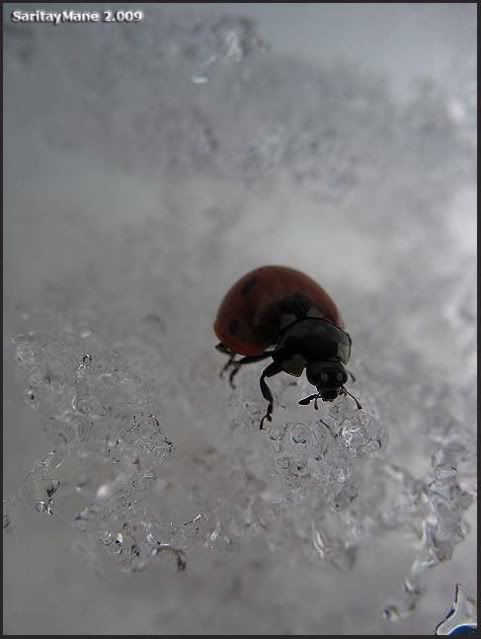
A little coccinell enjoys the snow, beautiful.
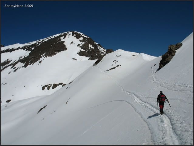
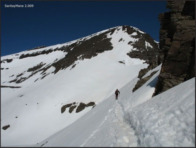
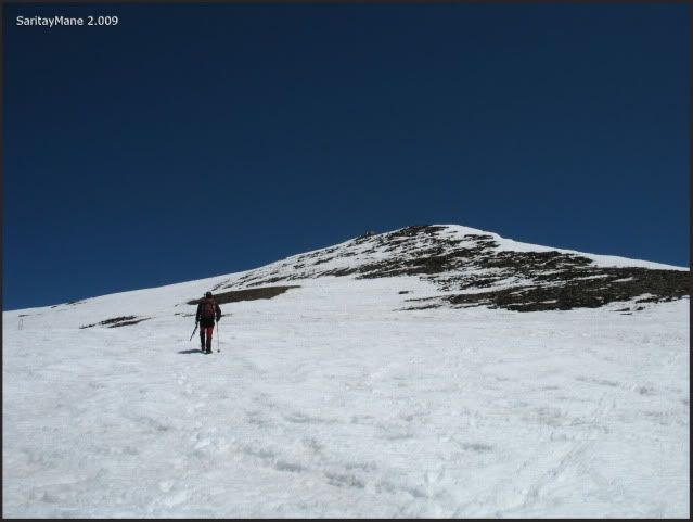
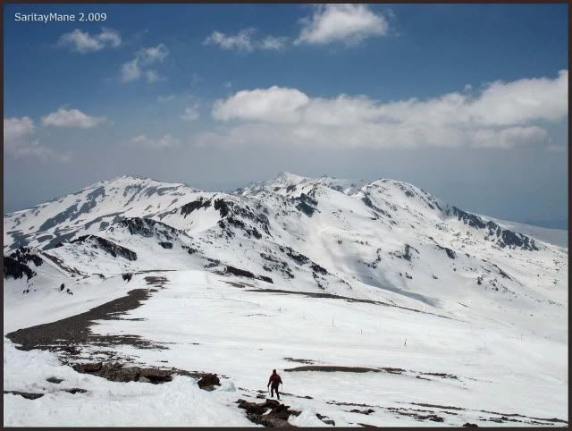
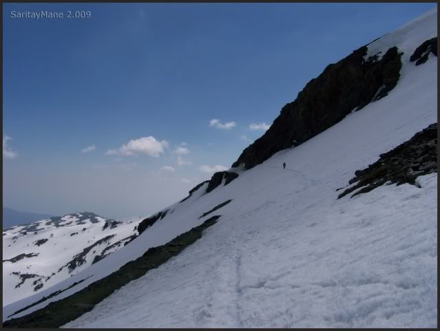
Back there waits the Veleta.
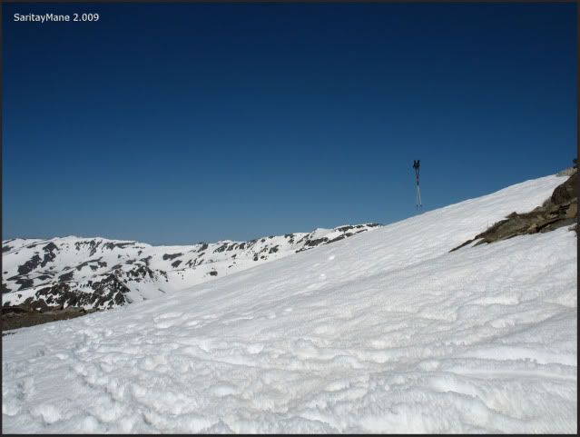
Turn right by the "Carril".
But, before go, a last seen.
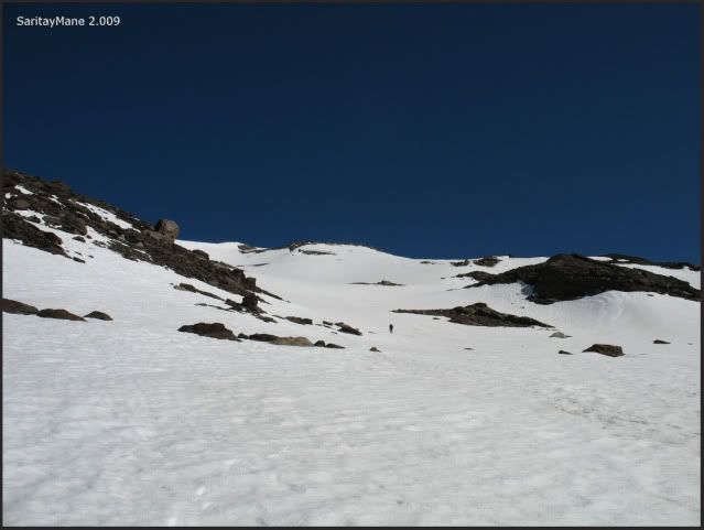
And there is the Veleta, but still waits a long way.
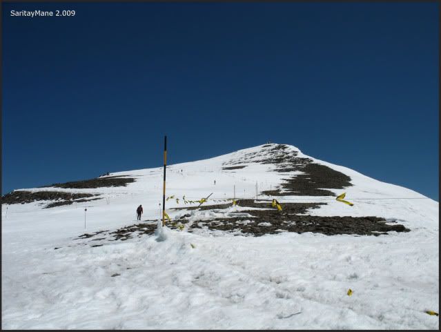
Around 984 ft to the top.
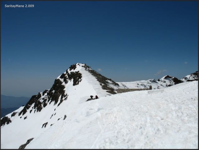
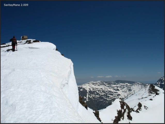
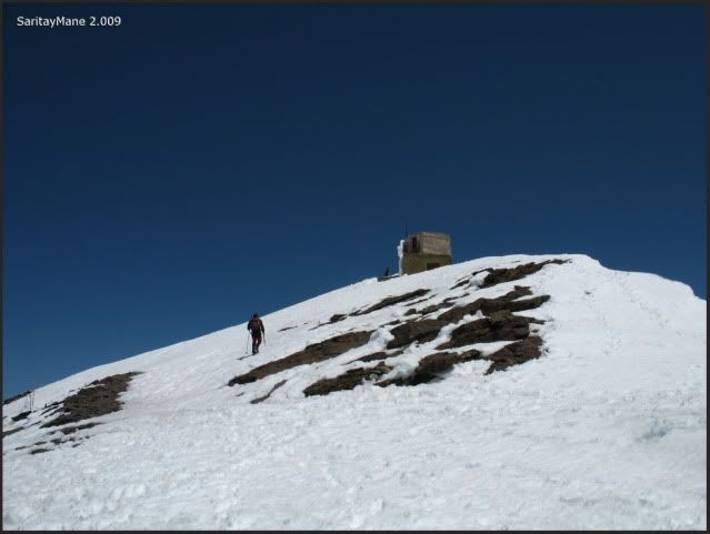
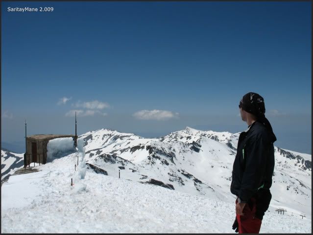
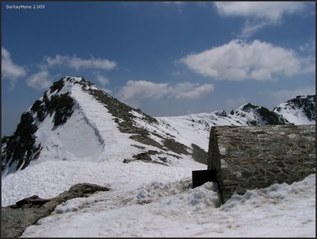
On the top, there is a small building.
Hey, that's the way we hope to let us up.
Let's go further.
Croossing at some places.
Take a look to the back.
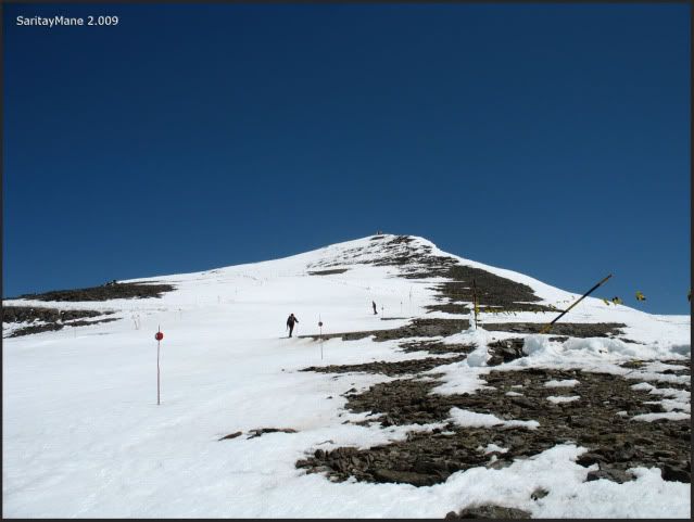
This is the last but one slope, snows too soft.
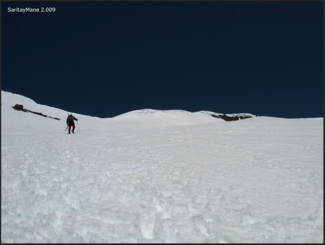
Thankfully we're near.
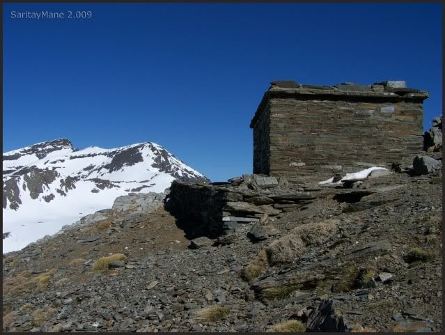
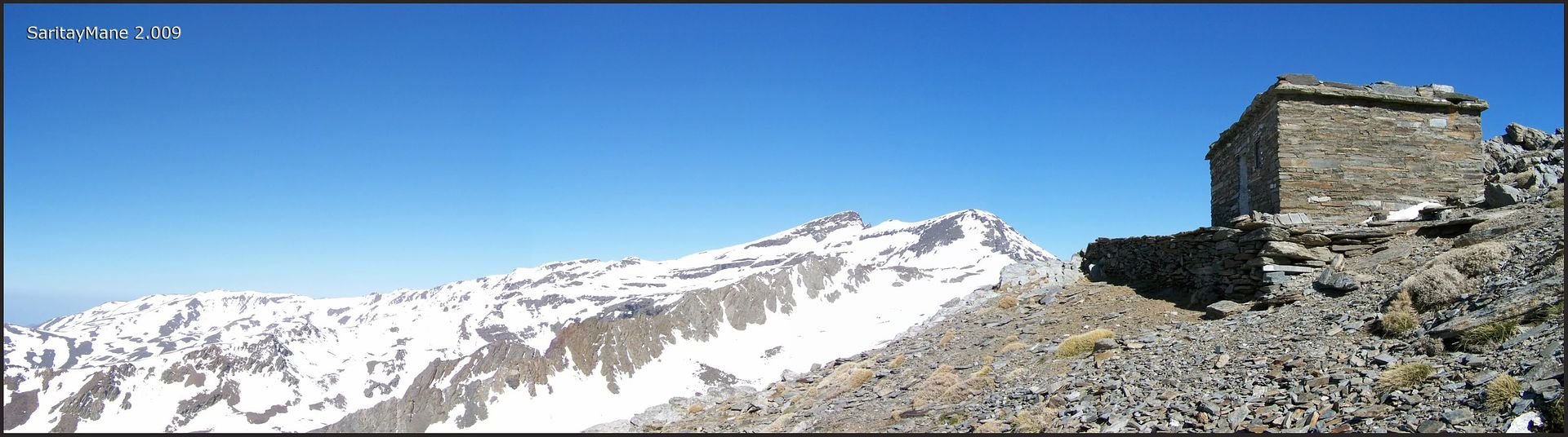
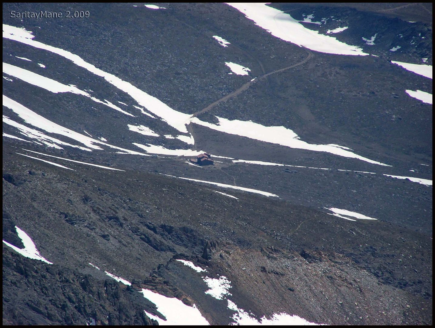
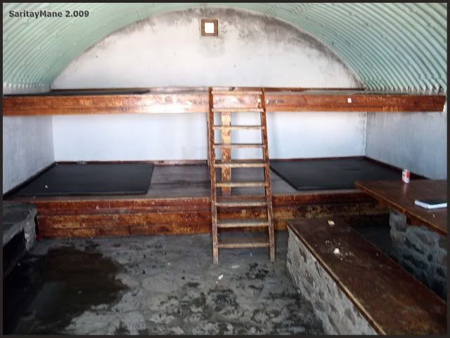
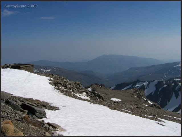
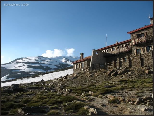
By this time, we arrive to Collado de la Carihuela, near here there is another hut, but this one without keeper, only for resting and to tke shelter.
Collado de la Carihuela and the small hut.
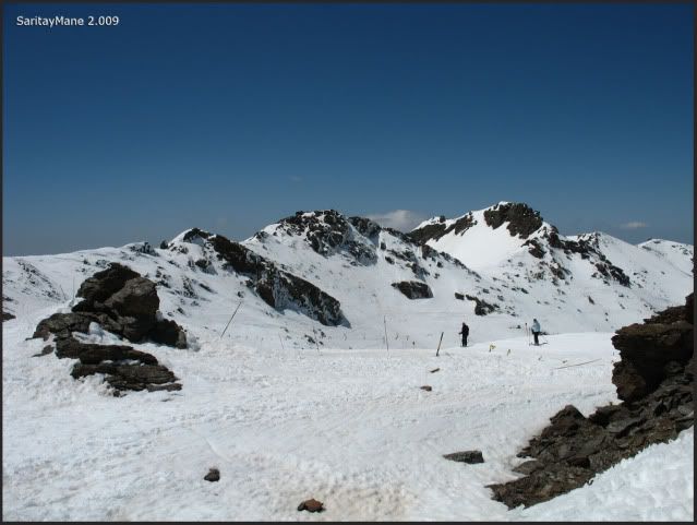
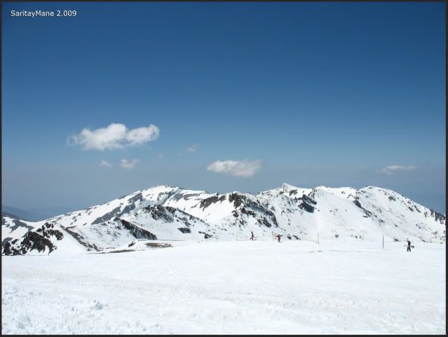
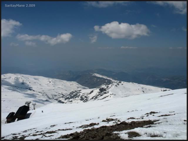
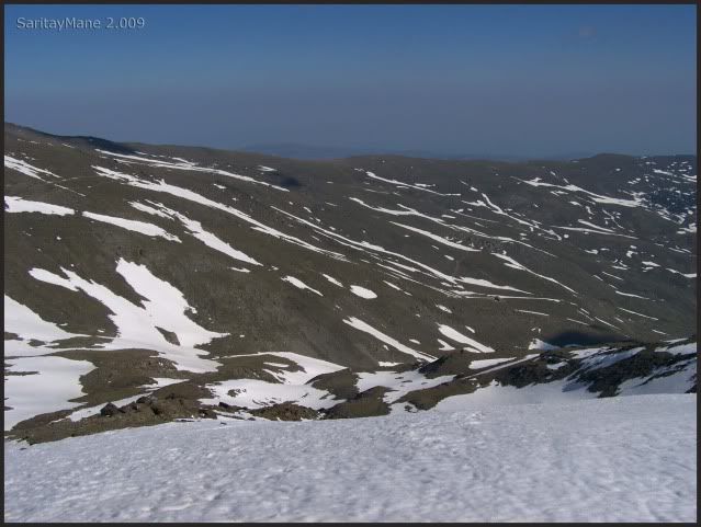
Ski slopes of Sierra Nevada.
Definitely, this is the last and hardest slope.
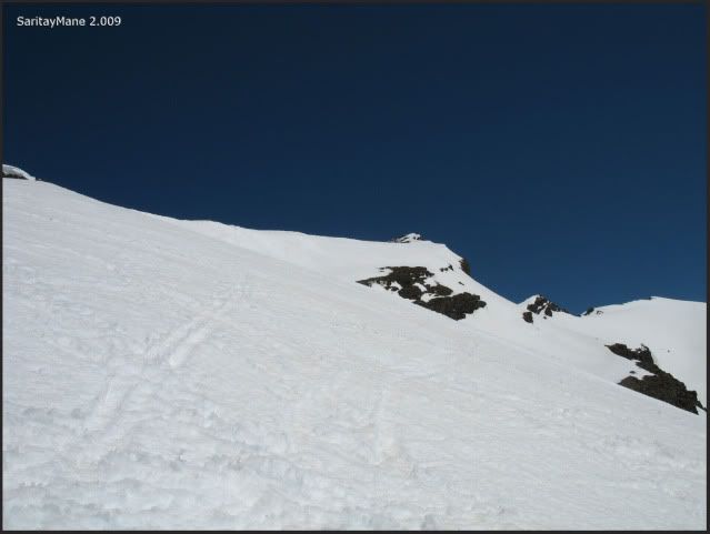
From here, only 656 ft unevenness to the summmit.
A look to the back.
Blue sky and white ski (such a poet!).
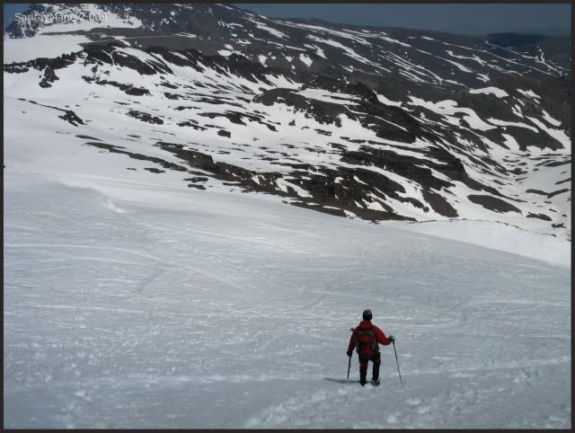
We make use of the ski slopes to move faster and easier.
Only 328 ft unevenness to go!.
Western summits, on our backs.
Big drops to the right.
The king of Sierra Nevada, on the background.
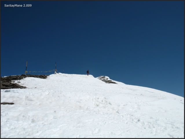
See the summit.
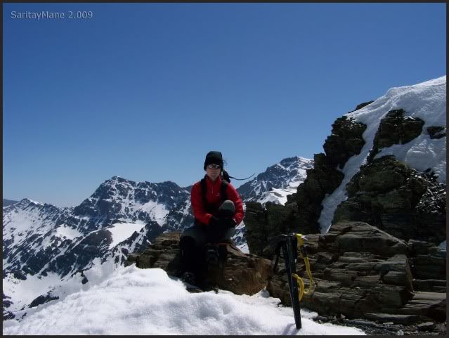
And here we are!.
Beautiful sights!.
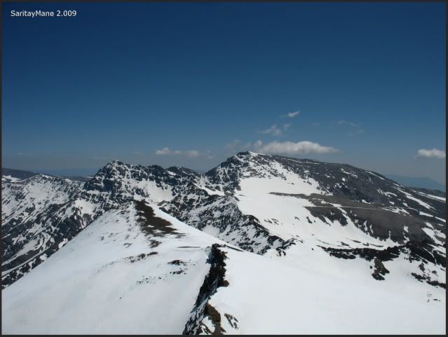
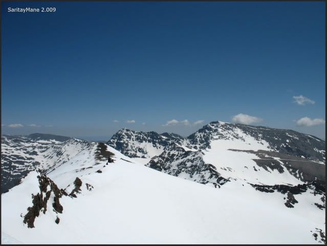
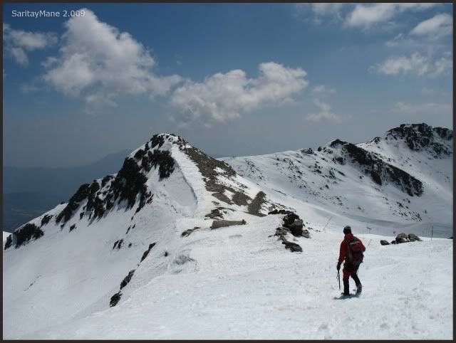
The ridge that comes from Cerro de los Machos.

The big South slopes of Mulhacén, yesterday we walked them.
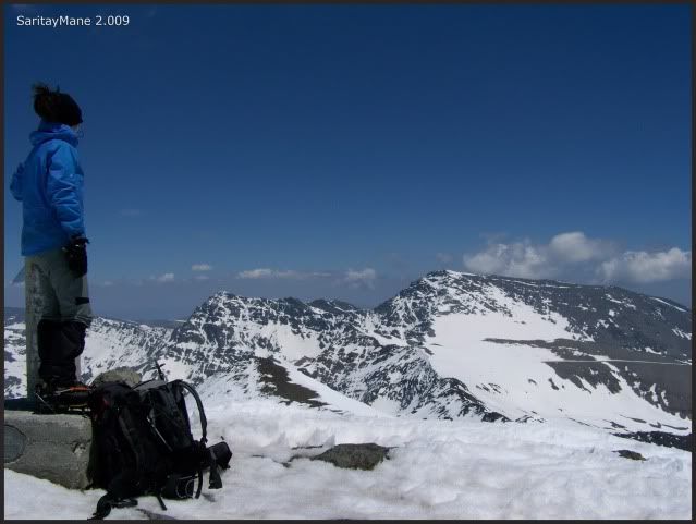
Looking to the West.
To the Peak Cerro del Caballo (Horse's hill).
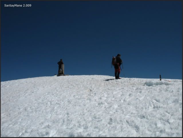
Enjoy the sights and hove some meal and water, somebody on the summit takes us a photo.
On the Summit of Veleta (3.398 m - 11.148 ft).
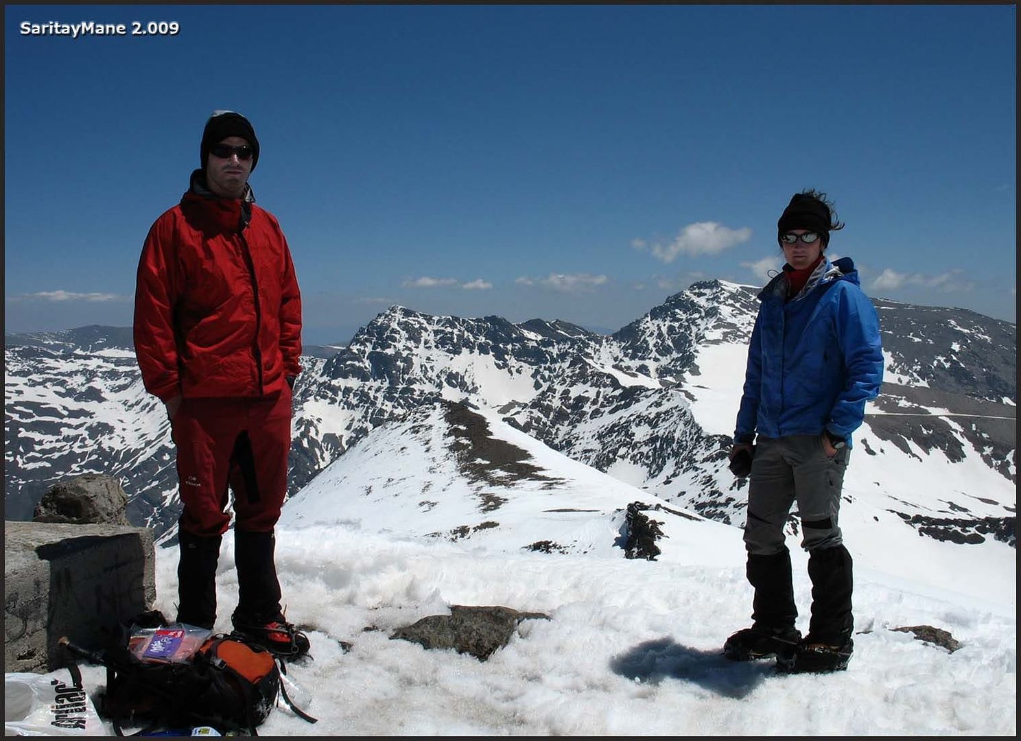
The wind blows too much, and although the sun's hot, we feel cold.
Once again, the "North Face" of Mulhacén.
And the Hut of Poqueira, we'll be back in a few hours.
Remember take care of the sun, it´s very important here!.
And after this, we say goodye.
Descending by the same way.
The ski-lifts, near from here.
Again, the Cerro del Caballo.
Going down to the hut of Collado de la Carihuela.
Take look into the hut, very well kept.
The Peak Puntal de Loma Púa (prefer not to translate this).
Sloping down is nice, not as ascending, better with skis.
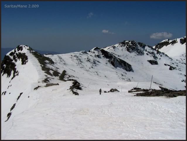
Still a long way.
Here we go, back again, on our footsteps.
Begins to appear some clouds.
Back to the Collado del Lobo.
Bodering the south slopes of the Cerro de los Machos.
At first sight, the Paso de los Machos.
Another picture of the North Faces.
Three guys before us.
Back to the pass over the Ridge of River Seco (look for Crestones de Rio Seco).
This one is take from the pass.
Here is the ridge, seems sharp.
The "Carril" is covered by the snow.
Take a look back, there are more clouds.
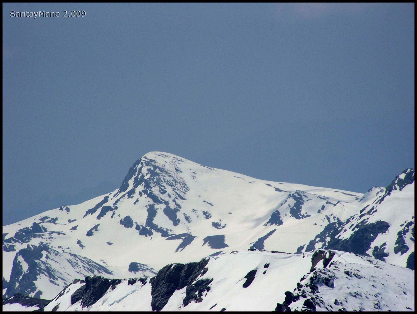
Zooming in on the Veleta
Again, our footsteps.
Close to the Hut of Pillavientos.
What a shame!, we have no ski skill's.
But we do our best to ski.
Some others try running.
Both of us make the most of the snow to descend quickly.
Soon we'll be again on the path.
Soon we arrive to the hut, and prepare for the hiking down to the Power Station of Poqueira.
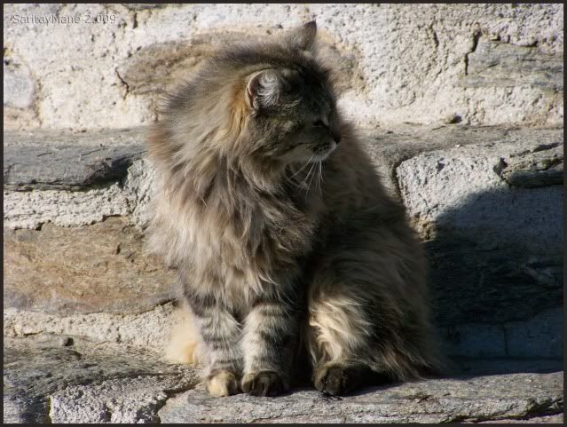
Look this beauty. The queen of the hut
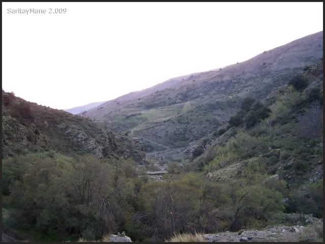
We still have to walk this. Nice landscape.
Good bye.
Start walking.
Sunset's near.
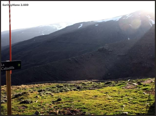
Soon we find the signs.
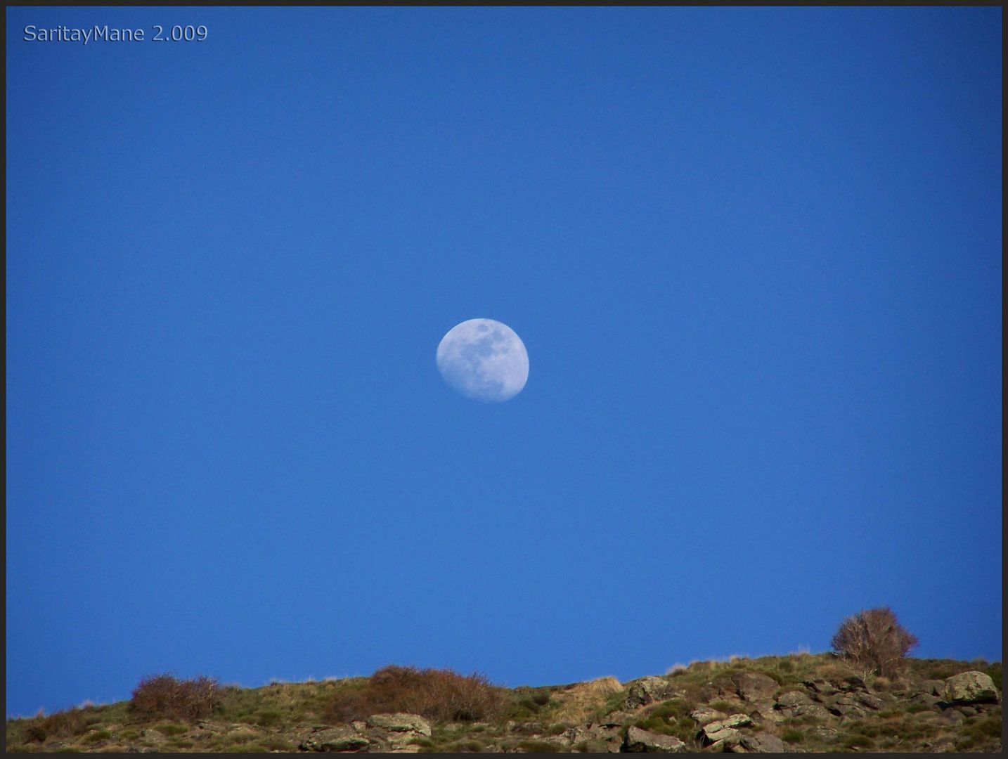
Don't be scare! Moon's not gonna crash the earth.
The sunset lights.
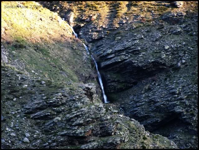
A beautiful waterfall.
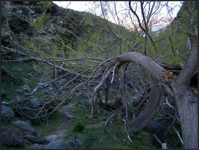
Seems like a weeping willow.
The path drives us "back home".
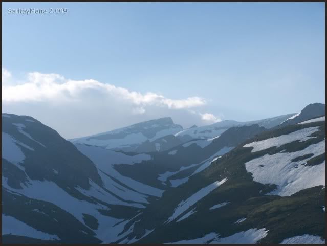
And the everlasting slopes of Mulhacén.
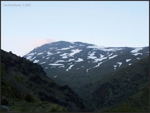
It's almost fallen the night, when we arrive to the power station.
We drive down to Capileira and from there, to Lanjarón, looking for a bed and some resting. Feels like a Rolling Stone, coming from Veleta, to the deep valley.
But, for sure, feels good. Bye.
To look for another Climbings in English Version, click on this link: RANK OF PEAKS. ENGLISH VERSION.


No hay comentarios:
Publicar un comentario