In our second visit to Alps, after rise over 4.000 meters - 13.123 feet last year, in Dòme de Neige des Écrins (France), Gran Paradiso (Italy), BREITHORN WESTGIPFEL and POLLUX.
This year we’ll try for the first the famous Castor, in the Massif of 'Monte Rosa'.
Spanish version in this link: CASTOR (4.228 m)
SITUATION
Border ridge of Central Valis. Alpes.
2.009/08/05. CLIMBING TO THE HUT OF QUINTINO SELLA
QUINTINO SELLA HUT INFORMATION
Phone number: 0039.0125.366113
Ner of places: 140
Keeping season: 15th June – 15th September.
Non-Keeping Hut’s area available for the rest of the year.
For futher information and booking, search on the web of RIFUGIO QUINTINO SELLA.
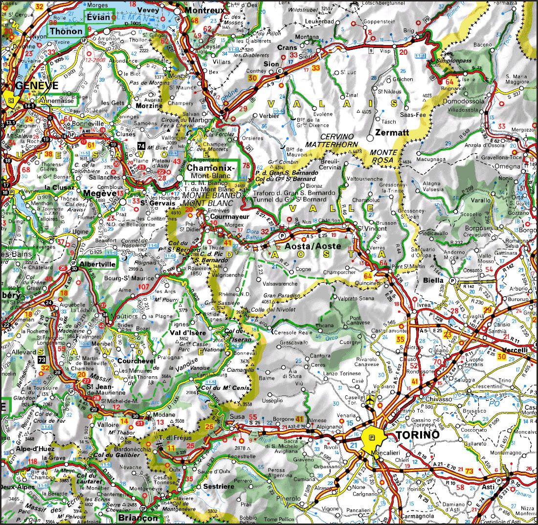
STARTING POINT
Colle Bettaforca situated in the Valley called 'Val de Gressoney', in the Valley of Aosta (Italy).
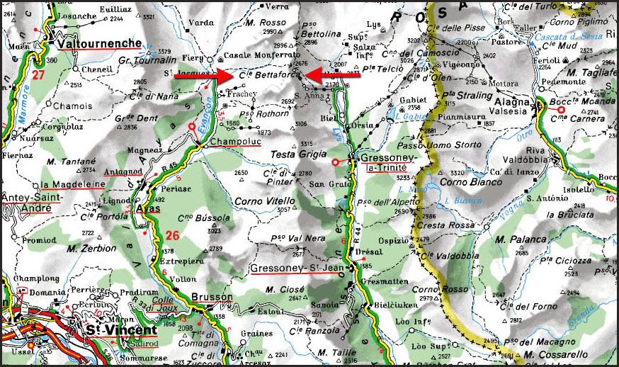
From Gressoney La Trinité, take the road SR 44 straight through the 'Val de Gressoney', from Pont-Saint-Martin to Stafal. This is a small village, situated at the end of the valley. In this place, there is the cable car station, giving access to the Massif of Monte Rosa, mainly for the huts of Quintino Sella, Capanna Margherita and Gnifetti. These are the main starting points to climb the highest Summits in Monte Rosa.
You can park for free in Staffal, but be advised of the big amount of cars you shall find if you aren't enough early there, cause it's a popular village for tourism. There are also places for caravanning.
To get to Gressoney La Trinité, in 'Val de Gressoney', next to the Valley of Aosta (Italy), search on GUIA REPSOL or on VIA MICHELIN.
It can be walked from Stafal to Colle Bettaforca, so It's more convenient to use the cable cars:
- Stafal - Santa Ana: Cable car
- Santa Ana - Colle Bettaforca: chair-lifts (comforable)
You shall ask for one only ticket, available for both of the services, however, remember ask for the final destination on Colle Bettaforca. It takes 30 minutes roughly.
Ticket price is 26 € each person (1 € is a deposit), for a round-trip one. Is available for 10 days. Don't forget to return back the ticket to the box office, so that you shall recover 1 € from the deposit.
For more information about tabletimes and prices for cable cars and lifts, search on INFORMATION OF REFUGIO QUINTINO SELLA.
CARTOGRAPHY
Sheet ner 294 Gressoney 1:50.000. Swisstopo.
Val d'Ayas Val di Gressoney Monte Rosa 1:25.000 L'Escursionista Editions.
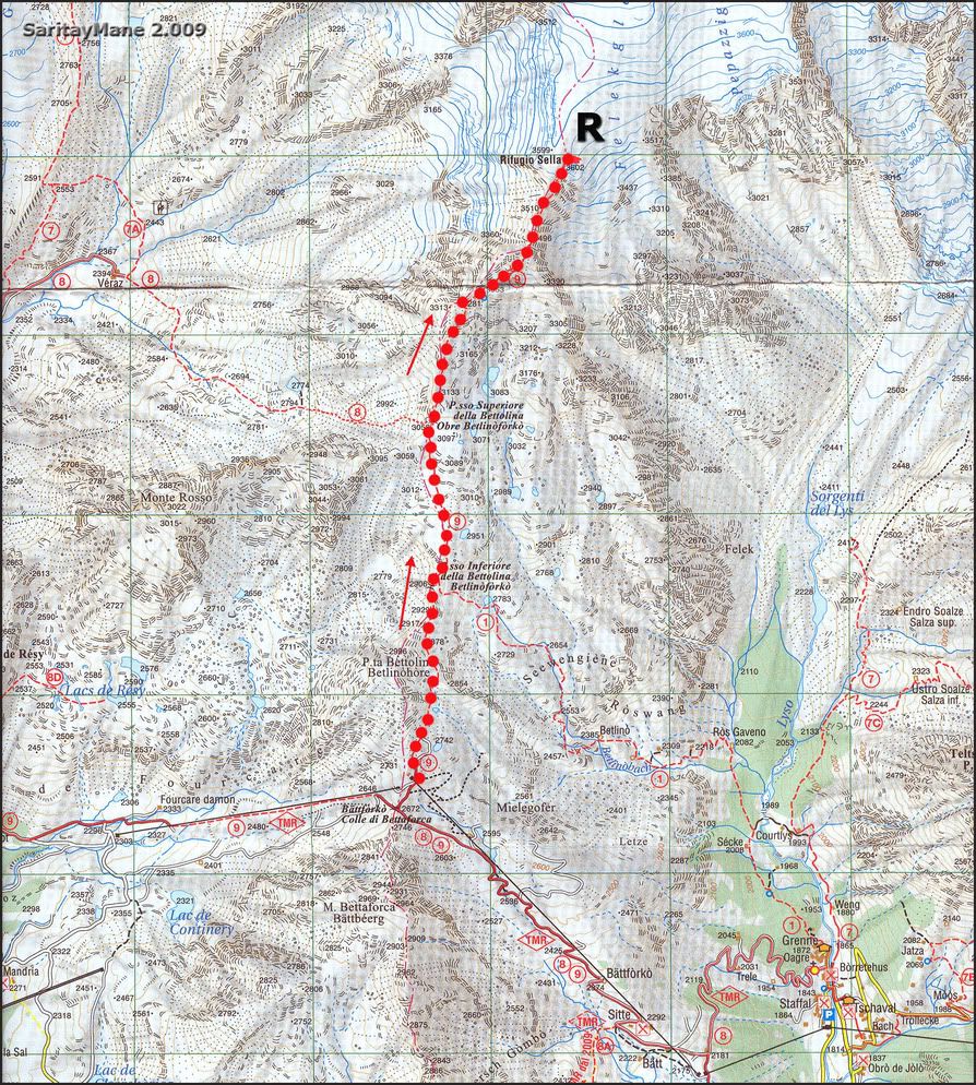
MAP
Property of 'L'Escursionista Editore'.
RESUME
UNEVENESS: 900 m – 2.952 ft (+)
TOTAL DISTANCE: 4 km – 2,48 miles.
TOTAL TIME: 03:15 hours.
DIFFICULTY: Easy.
2nd degree scramblings, fitted up with ropes over the final ridge near the hut.
Signed itinerary all the time.
GEARS: Nothing to report.
CLIMBING TO THE HUT OF QUINTINO SELLA
We began the trip having lesions: Mane was on back-aching and y was on knee-aching.
It took us two days from Madrid Gressoney La Trinité. As soon as we get there, we parked next of the village in a big parking area fitted out with a public toilette.
We rested in the van that night, and next morning prepared soon for the route.
Moving to Staffal, by the valley.
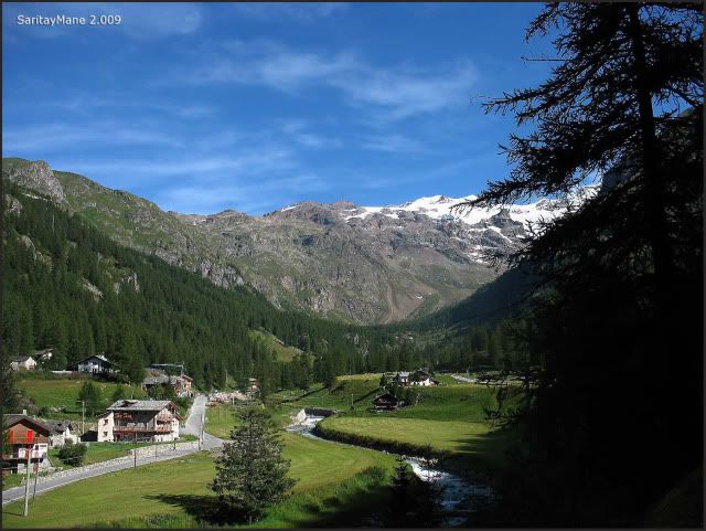
We buy the tickets near 10:00 in the morning. We carry much load in our back-packs. If you want spend some money else, don't take so many food and equipment. The hut provides all these services. I think we were feeling so mean.
Stafal's parking area.
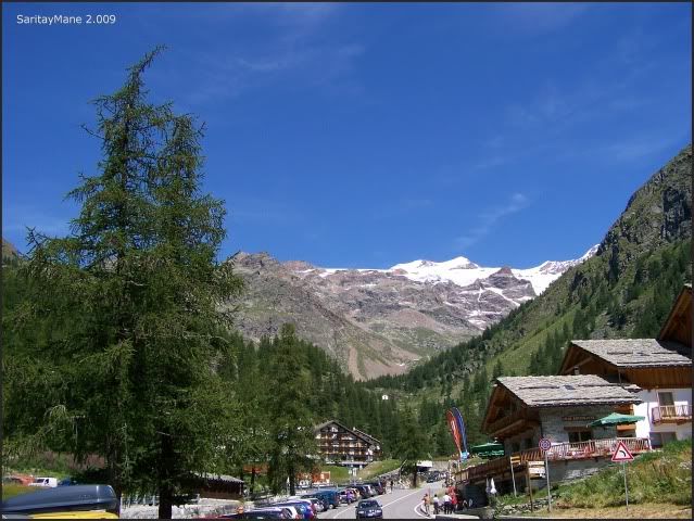
It's 12:15 and we move to the station, in order to buy the tickets. Last trip in the morning is at 12:30, until 14:15 when are restarted.
The cable-car to Santa Ana.
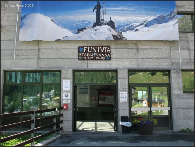
While we can see the Castor from the entrance.
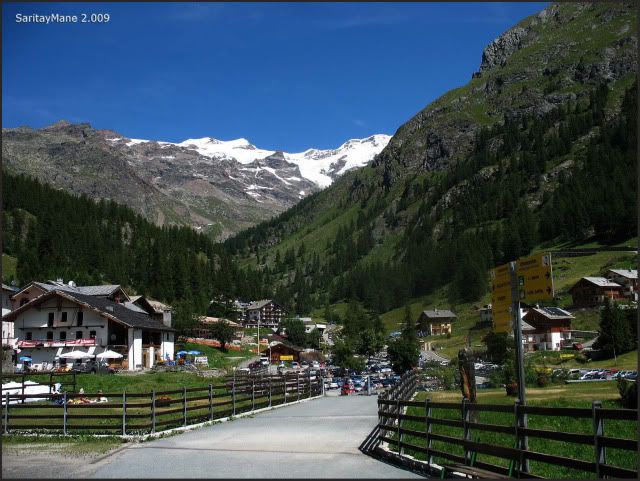
Into the cable-car to Santa Ana.
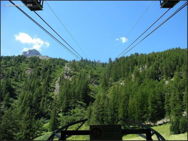
Once up, we will take those chair-lifts to Colle Bettaforca .
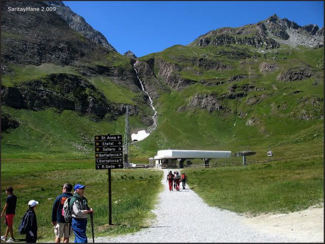
'Fliying' to Colle Bettaforca.
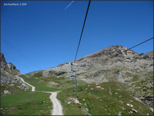
From now on, we'll walk to Quintino Sella.
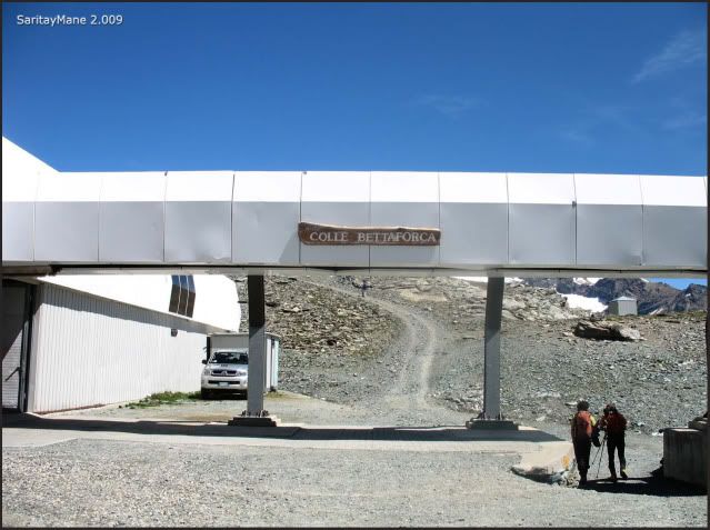
Undoubtely, we carry heavy-loaded back, unfortunately. Maybe we should have traded kilograms for euros.
From her, we follow the path signed as number 9 to the Hut Quintino Sella.
Find landmarks often easily.
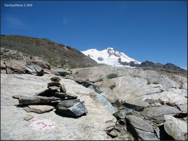
Seeing the Vincentpyramide.
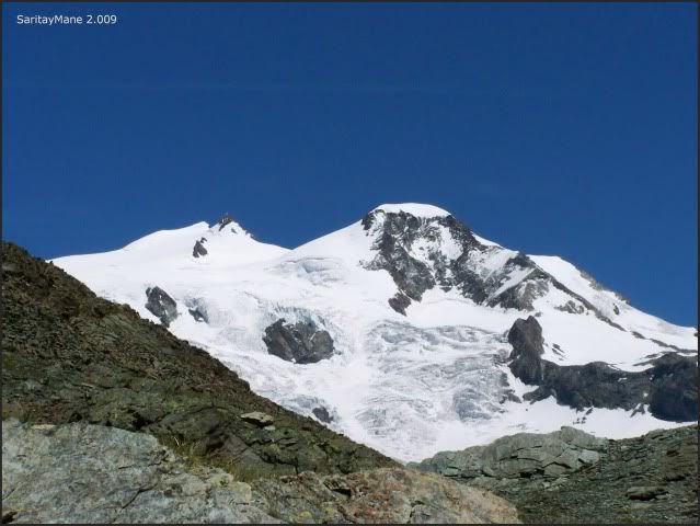
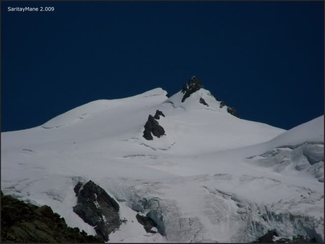
Ludwigshöhe and the rocky Corno Negro.
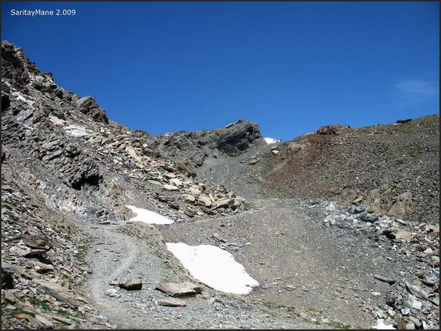
The path we will follow.
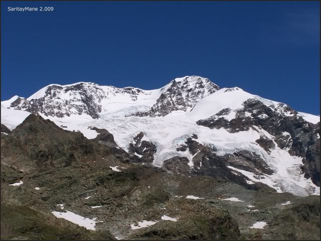
Astonishing Lyskamm.
The path surrouns the 'Punta Bettolina', always northwards.
Signed as number 9...
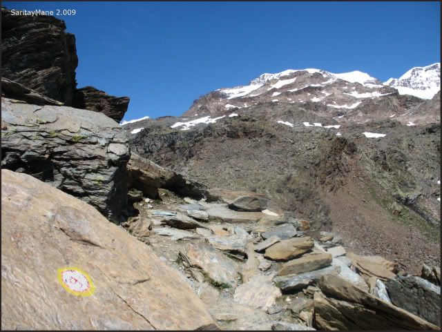
…all by the way.
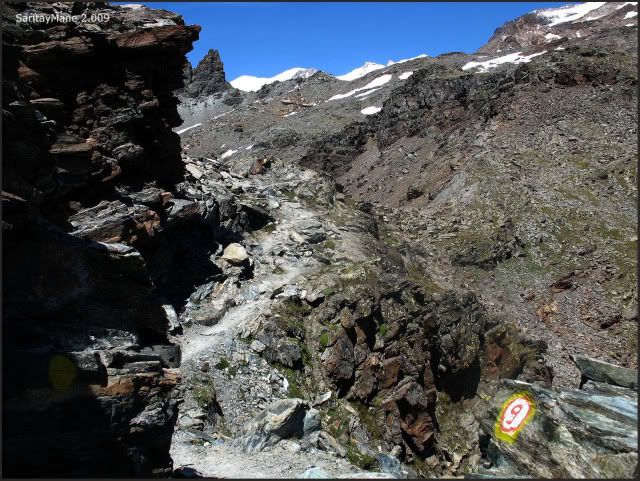
Until this crossing, from here we'll move straight.
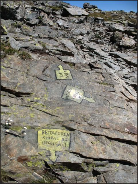
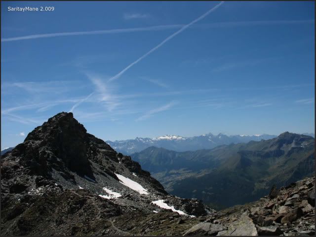
Seeing 'Gran Paradiso' on the other side of the Valley of Aosta.
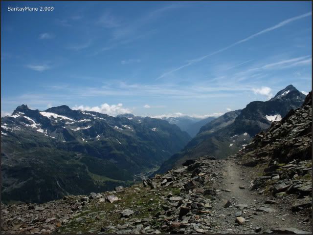
The path we walk through.
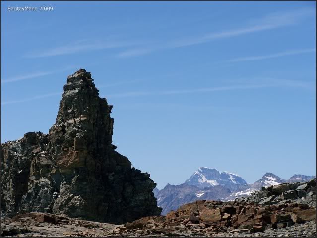
Bordering this summit over 3.000 meters – 9.842 feet.
Gran Paradiso a bit closer.
Uhm! I don't know which way it is...
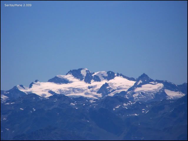
Great Glacier of Véraz at the basin of Breithorn.
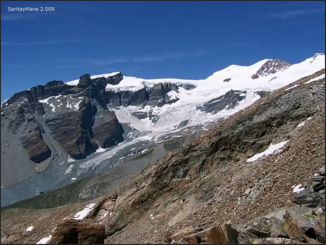
We now gain height fast.
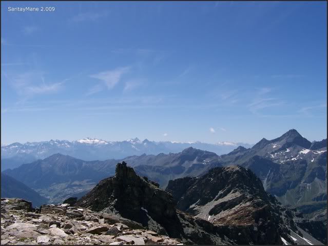
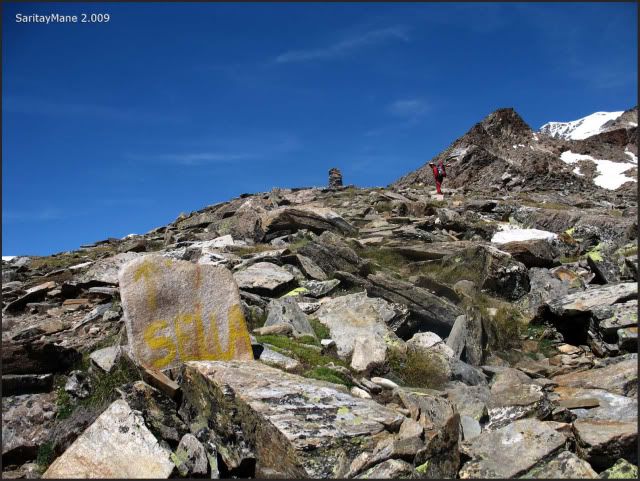
And follow the yellow prints.
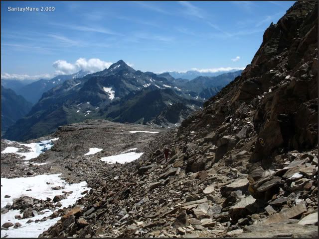
As we get to a pass over 3.280 meters – 10.761 feet, we begin surrounding the west side of the rocky ridge, that takes straight to the hut. Looking for the ropes fitted up on this one.
Underneath is the 'Val de Gressoney'.
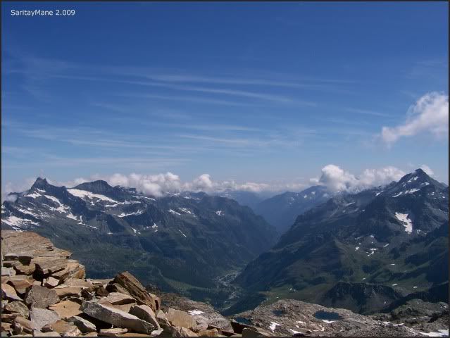
Through this steep carpet of snow.
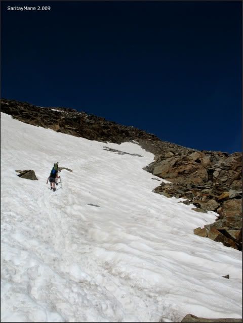
Untill the ridge. We can see the Castor from it.
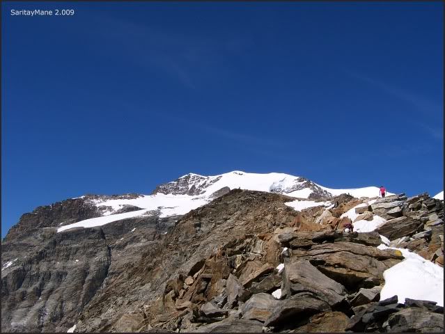
And BREITHORN WESTGIPFEL and Mittelgipfel towards NW.
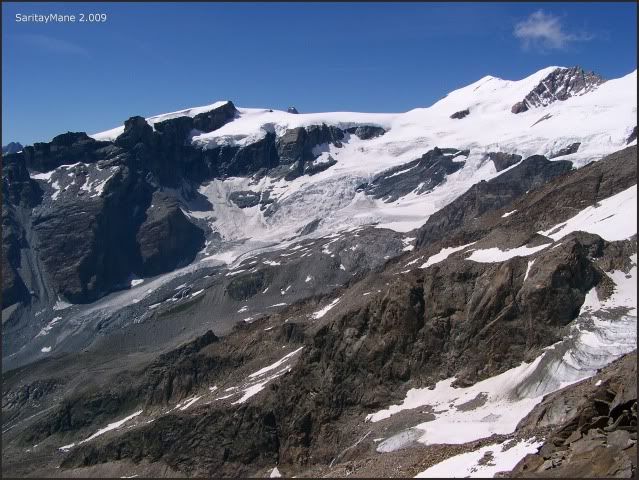
Seeing Mont Blanc towards west.
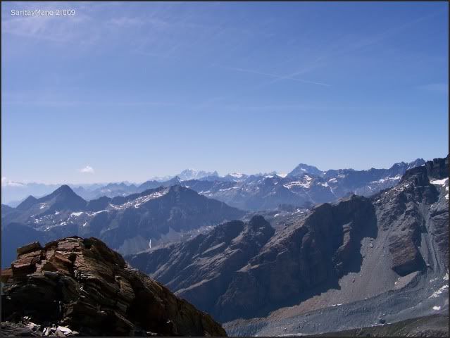
Mane takes a sight.
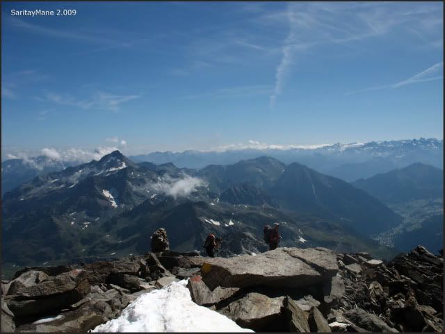
Soon we move upon the ridge, looking for the ropes.
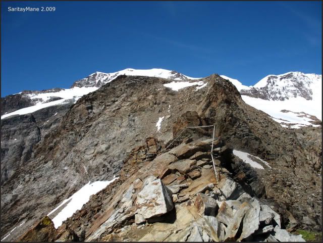
Remaining amounts of snow on the ridge.
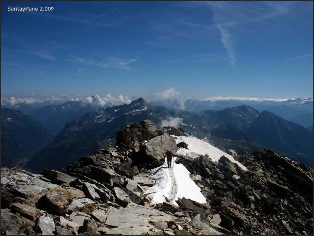
Easy to go.
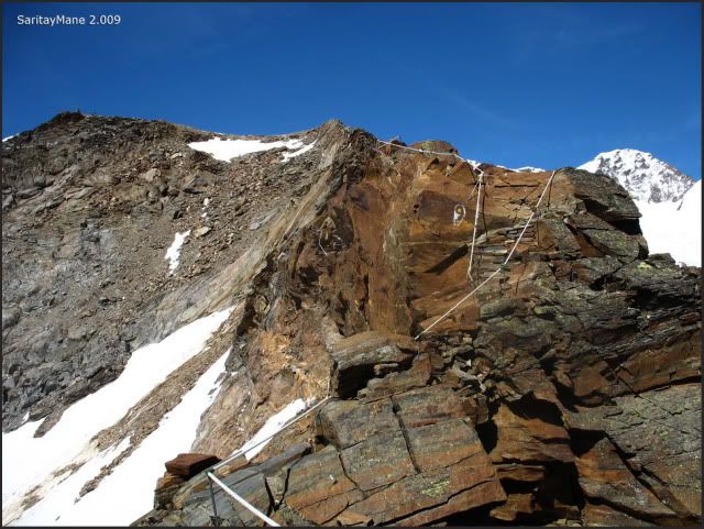
Walking the line.
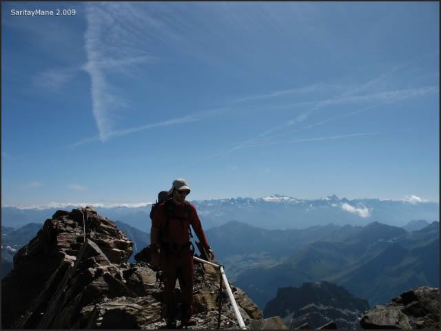
It's easy to cross over the ridge, using the ropes for precaution. Finally, there is a bridge to solve the worst pass of all.
Here onto the bridge.
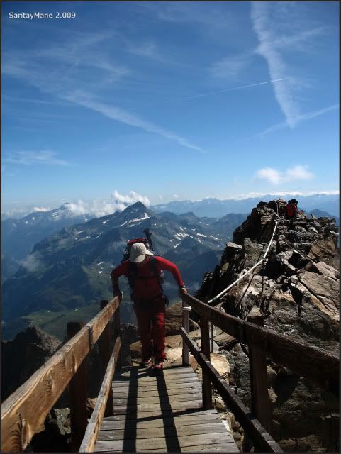
It’s easier than it seems.
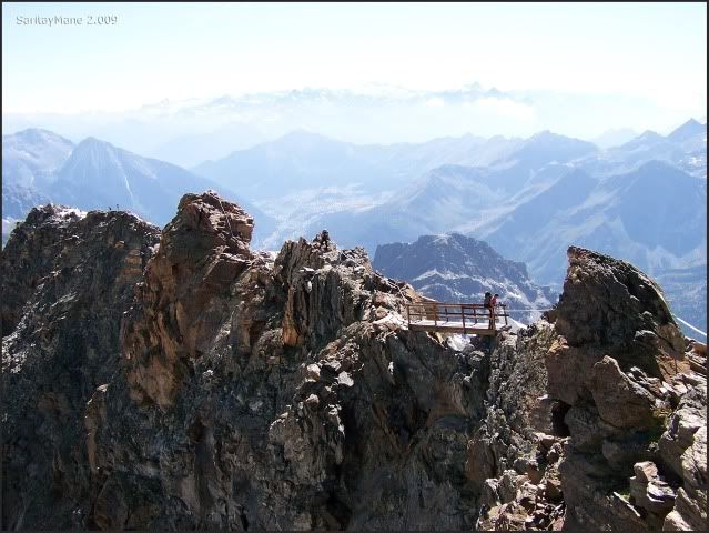
Scrambling the remaining steps.
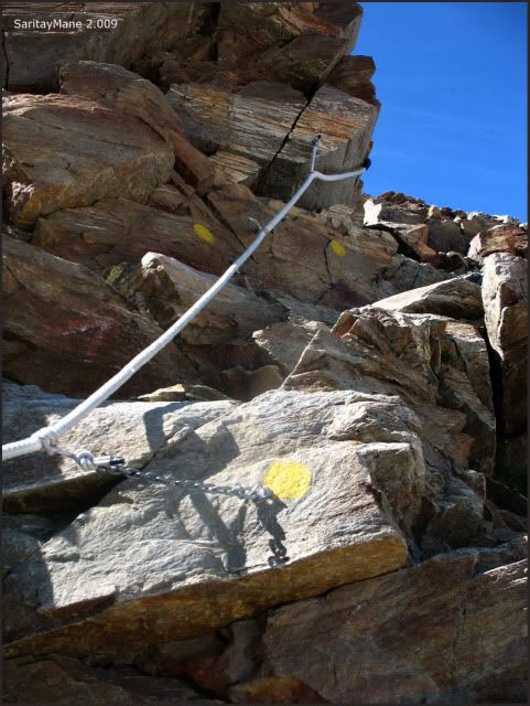
Untill the entrance of Quintino Sella.
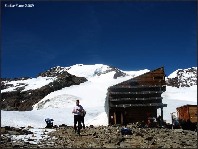
We leave our gears, sign in and have a rest. It shall be useful to dope myself with paracetamol, in order to help me sleeping and avoid the pain.
The hut has three floors, and seems cleaned and well keeped in general terms, despite of the very much people coming here in August.
The toilettes are placed in an annexed building. It's provided running water, which is hard to obtain at this altitude. It's also hard to manage the waste of this toilettes, hence those are carried by helycopter.
There is another annexed building for cooking. We think it's probably the non-keeping area of the hut, for the rest of the year. There you'll find beds as well.
Watching Vincentpyramide, that we'll climb in a few days from Hut of Gnifetti.
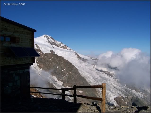
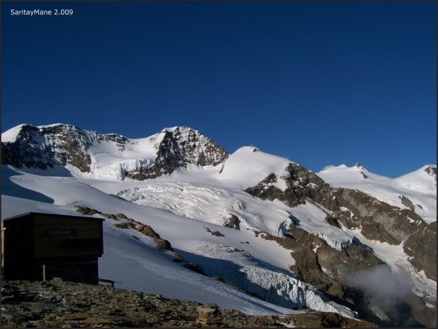
Castor backwards the hut.
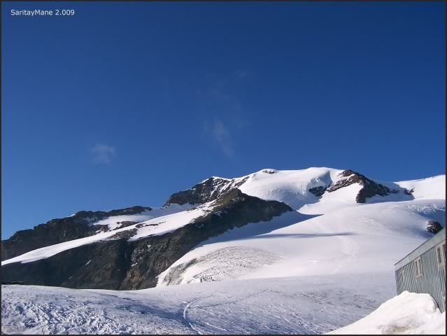
Surrounded by summits over 4.000 meters – 13.123 feet.
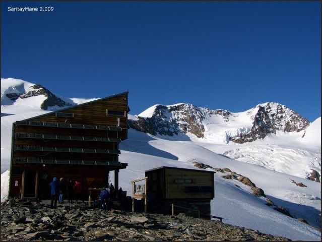
Watching Lyskamm, Il Naso and the far-off Parrots, Ludwig and Corno Negro which we'll climb also.
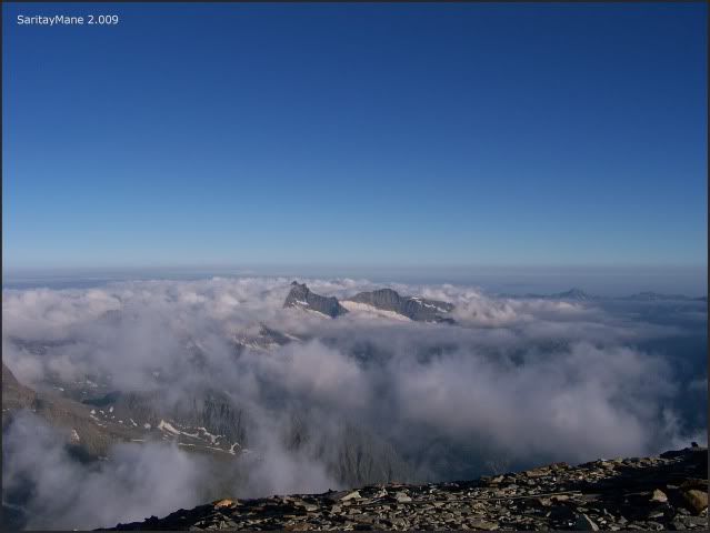
Seeing the clouds sea underneath.
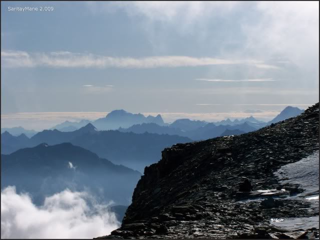
Covering the valleys.
By now it's getting cold, so we better go to sleep in order that we'll became aclimatized.
2.009/08/06. CLMBING TO CASTOR (4.228 m – 13.871 feet)
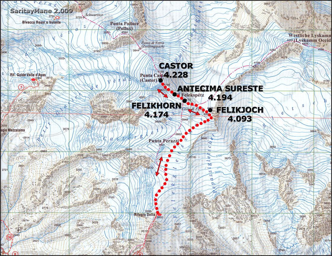
Today we'll climb one of the most easy-to-do-peaks in Monte Rosa. The normal track to this summit, goes by the SE Ridge.
We'll also pass over other peaks above 4.000 meters - 13.123 feet:
- FELIKHORN O PUNTA FELIK (4.174 m – 13.694 ft)
- CASTOR ANTECIMA SURESTE (4.194 m – 13.759 ft)
- CASTOR (4.228 m - 13.871 ft)
- FELIKJOCH O CÚPULA FELIK (4.093 m – 13.428 ft)
STARTING POINT
Hut of Quintino Sella.
CARTOGRAPHY
Sheet ner 294 Gressoney 1:50.000. Swisstopo.
Val d'Ayas Val di Gressoney Monte Rosa 1:25.000 L'Escursionista Editions.
MAP
Property of L'Escursionista Editore.
RESUME
UNEVENNESS: 800 m – 2.624 ft (+/-)
TOTAL DISTANCE: 7 km – 4,34 miles.
TOTAL TIME: 05:00 hours.
DIFFICULTY: Easy.
HARDNESS: Middle (because of altitude)
EXPOSURE: Low-middle (some exposure over the SE Ridge). Take care when crossing with other groups of climbers.
40º slopes of snow before the pass of 'FeliKjoch'.
GEARS: Basic equipment for glaciers.
GPS LOG
Click here: WIKILOC 20090806 CASTOR
THE CLIMBING
After have had a good rest, we wake up early, before the main amount of the people, to prepare the route.
We take breakfast round 04:00 h and finally begin at 05:15 h, equiping with our rope.
Other mountaineers prepare themselves next to us.
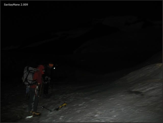
Finally we start walking, moving to the back of the hut, straight to the Glacier Felik.
We fell well aclimatized, and walk fast while the sun is coming.
Watching other groups ahead.
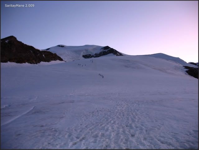
While others are coming from our back.
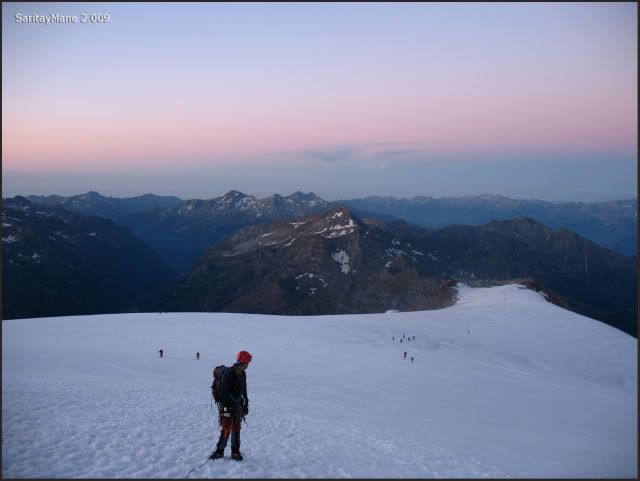
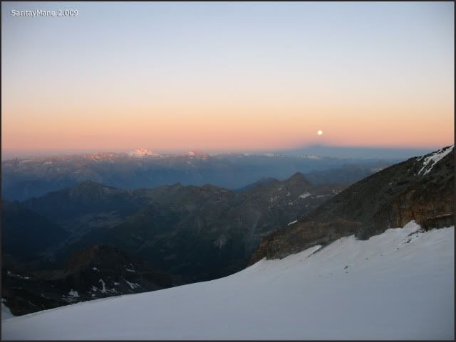
Seeing the dawn.
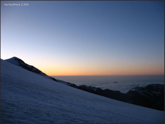
While the moon falls.
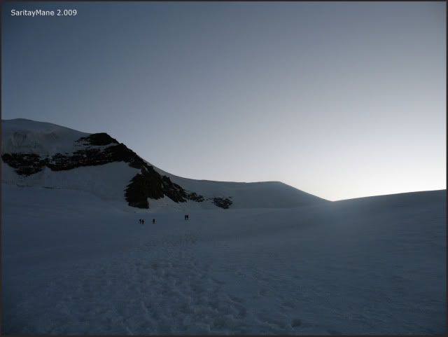
Following the footprints.
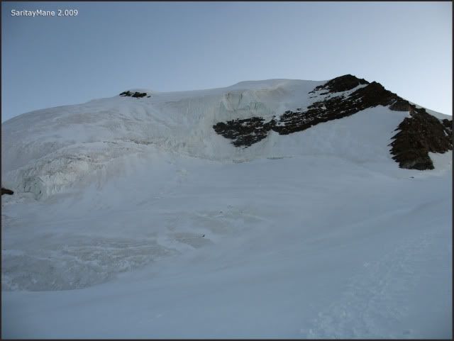
Seeing the South Face of Castor.
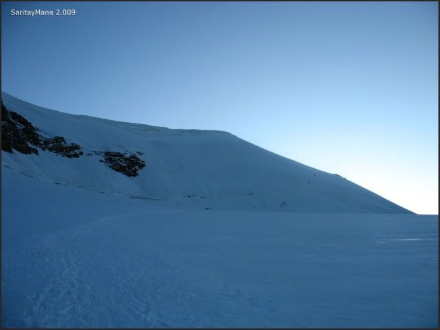
And the groups ahead.
We take a brake near the basis of Castor, and watch the ridge to the pass of 'Felikjoch'.
Peaks Gran Paradiso and Mont Blanc are over our back.
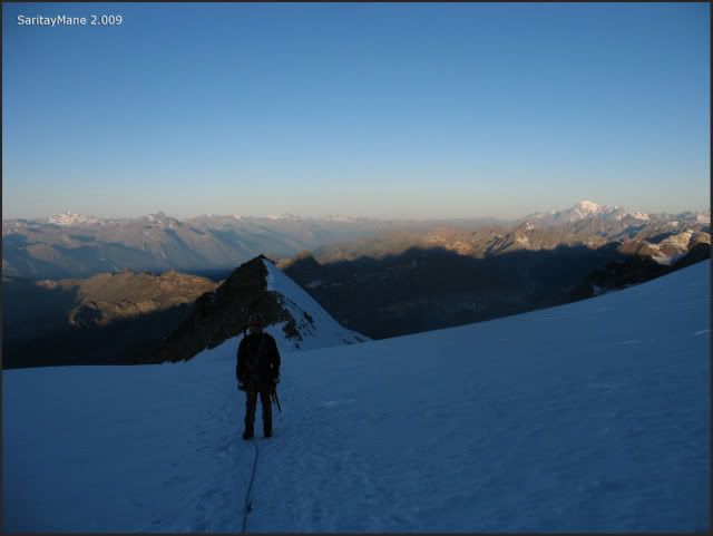
And we go forth.
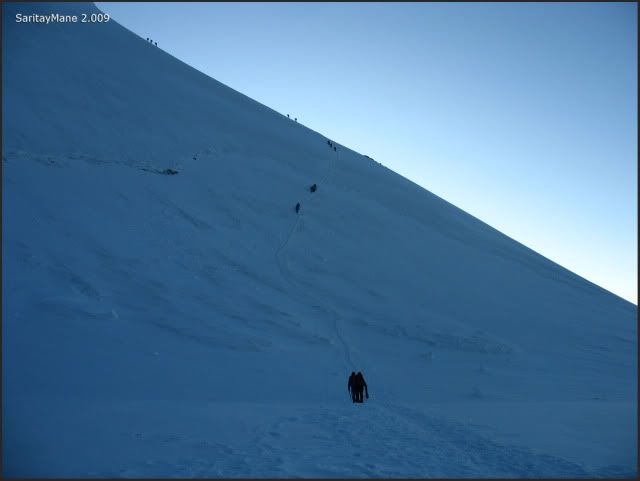
Going by this trace.
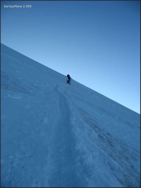
Watching the groups going to Felikhorn.
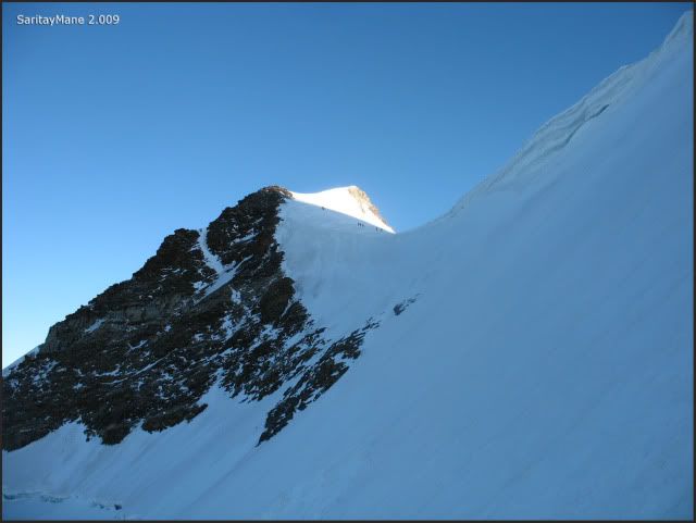
And the ones backwards.
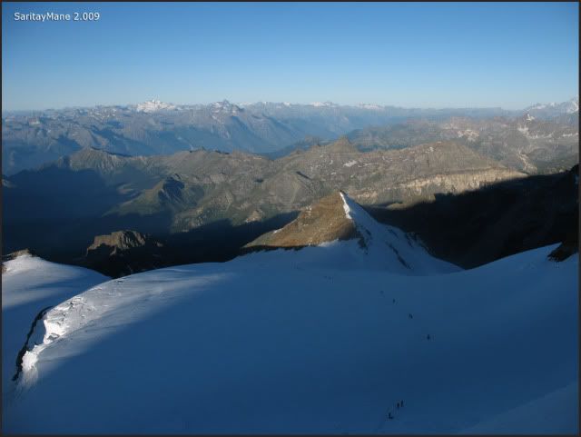
By the time we arrive to Felikjoch shelf or 'Collado Felik', we continue surrounding the lump of 'Cúpula Felik' also called 'Felikjoch' by the South.
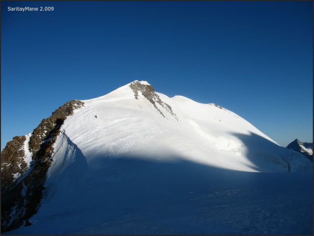
Walking to pass, ahead is the slope to Punta Felik or Felikhorn, our first objective of the day.
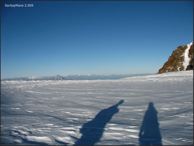
Our shadows are pouring by Felikjoch.
And see the shape of other groups, over Felikjoch.
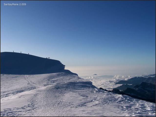
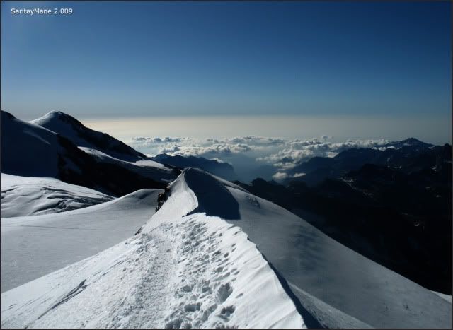
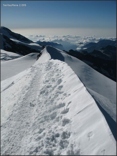
Watching the sea of clouds.
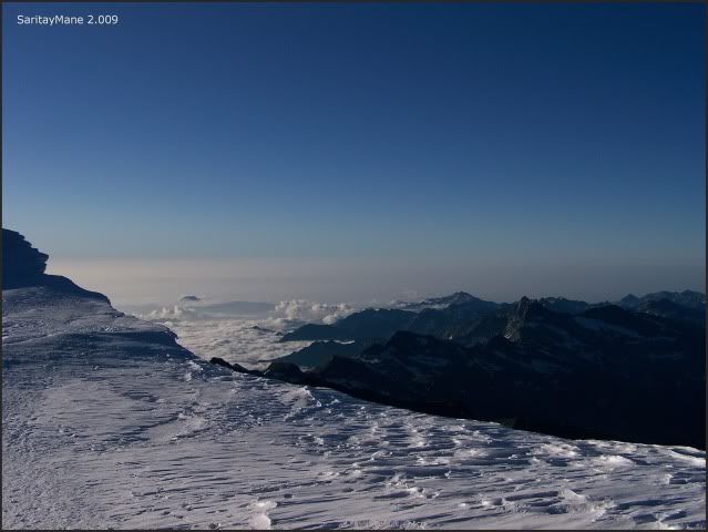
We begin walking the slope giving access to the final ridge.
To the cold summit.
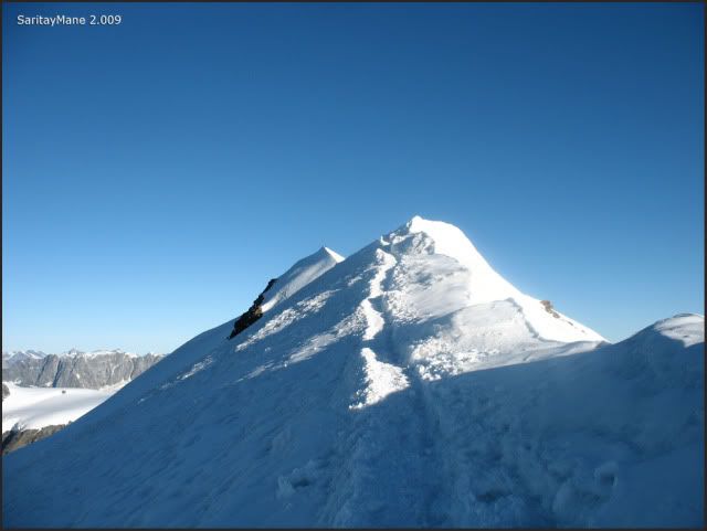
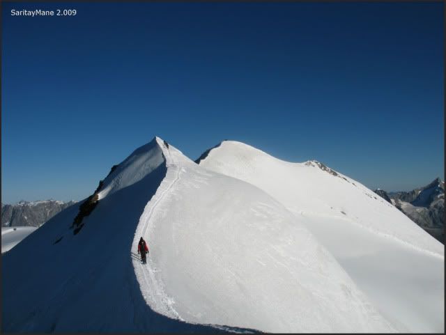
By now, we can see the SE Ridge.
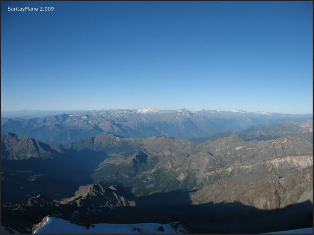
Seeing Gran Paradiso on the other side of the Valley of Aosta.
Summit of 'Punta Felik' also called 'Felikhorn' (4.174 m – 13.694 ft).
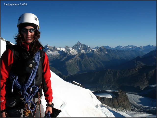
Still remain two different passes, and other summit, before the Castor.
This is the pass before the Summit of 'SouthEst pre-Summit' of Castor.
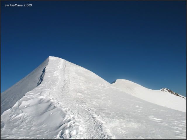
Watching the trace from 'Felikhorn'.
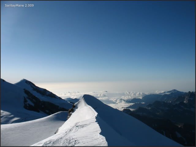
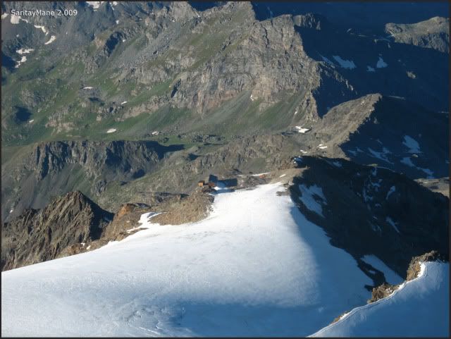
There is the Hut Quintino Sella.
We arrive to the Summit before Castor.
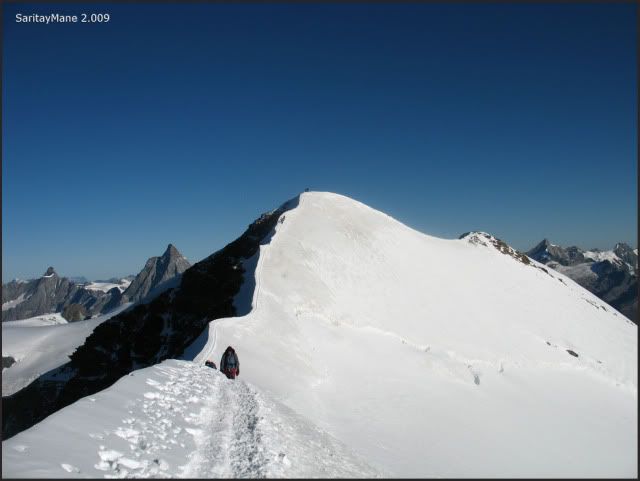
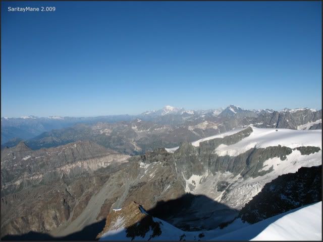
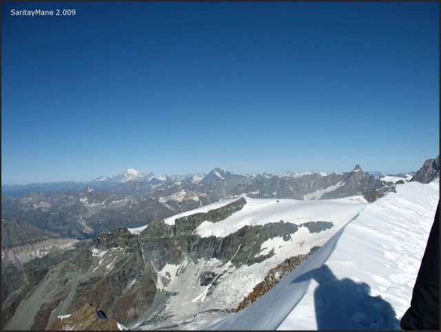
Always seeing Mont Blanc.
Cervino apperars in the background further Castor.
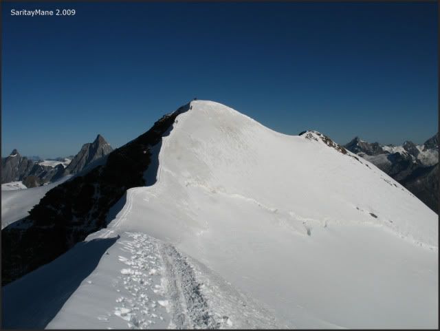
Pre-Summit SE (South Est) of Castor (4.194 m – 13.759 ft).
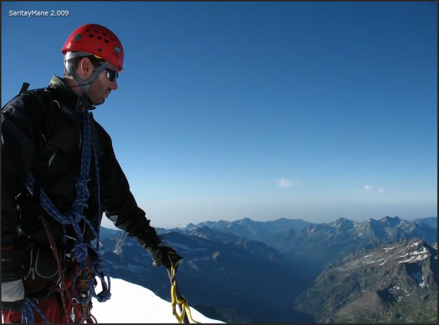
We get to the pass next to Castor Summit.
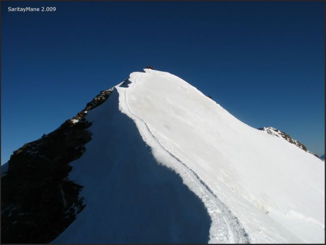
Finally, we ascend the final and beautiful Crest to Castor. It’s pretty cold.
Seems like we can touch both the Lyskamm.
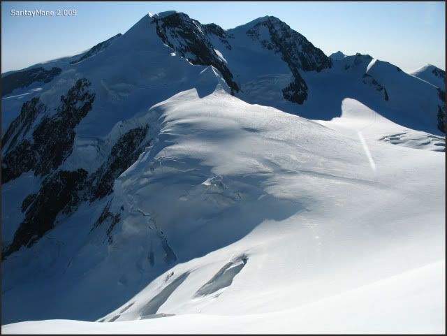
Summit of Castor (4.228 m – 13.871 ft).
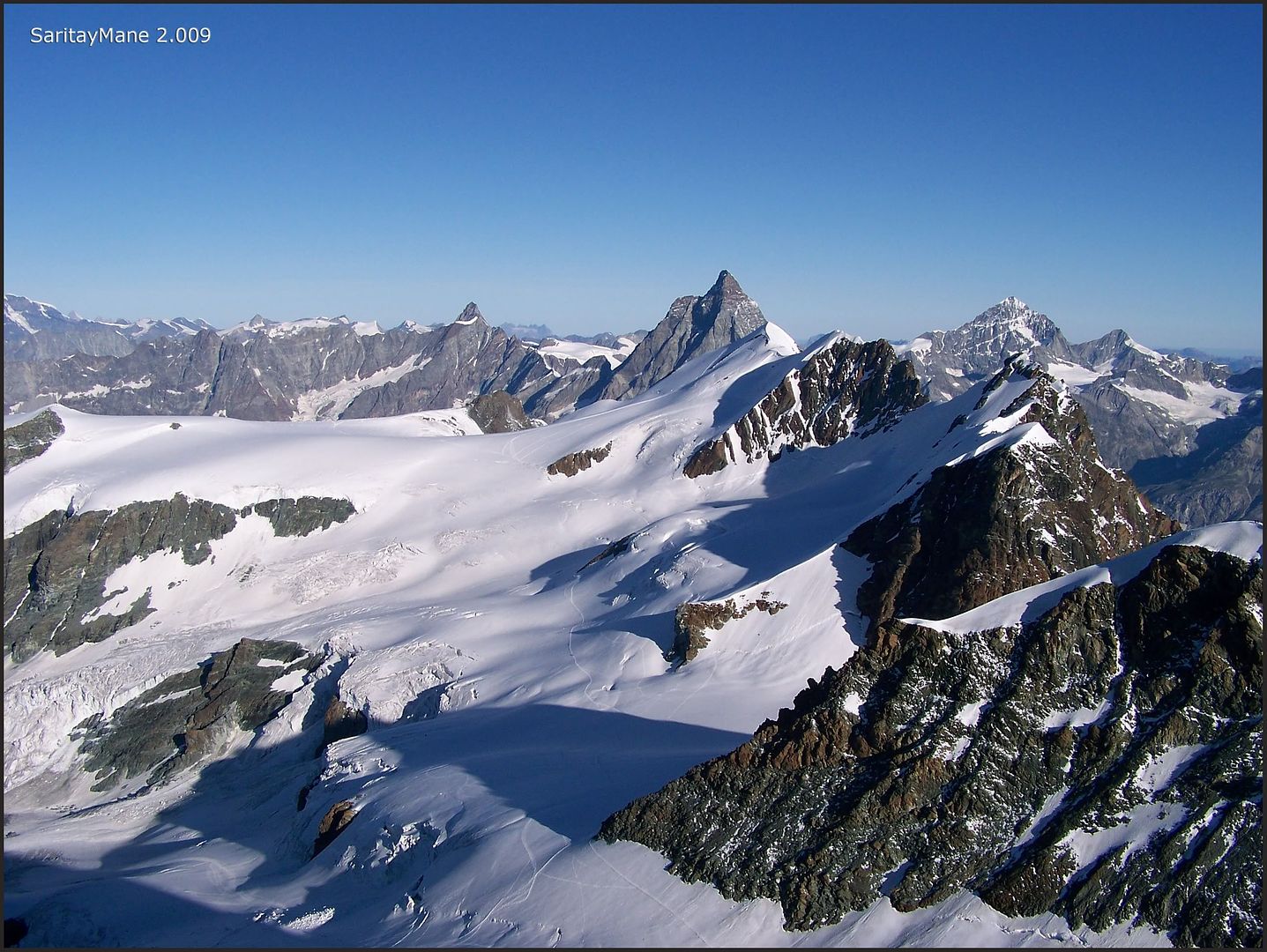
We delight in the view, taking the opportunity to take most pictures, as fast as we can, because there's a traffic jam close o here. Many groups comes from the northwest crest, from Hut Guide d'Ayas.
Massif of Gran Paradiso.
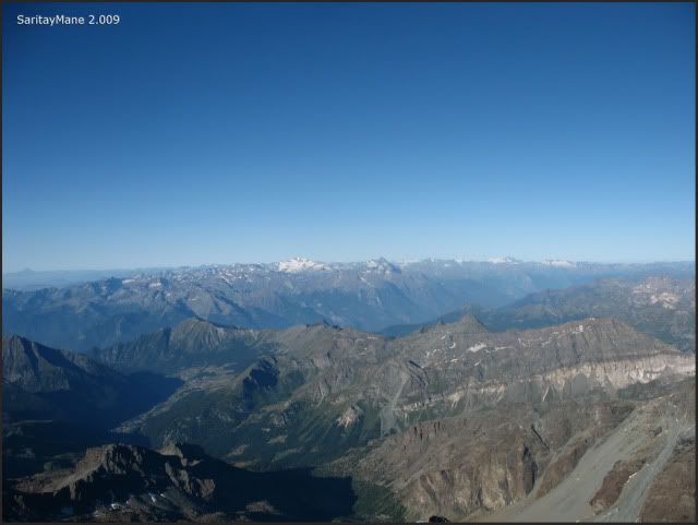
Mont Blanc a bit closer.
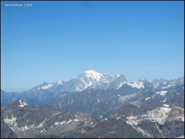
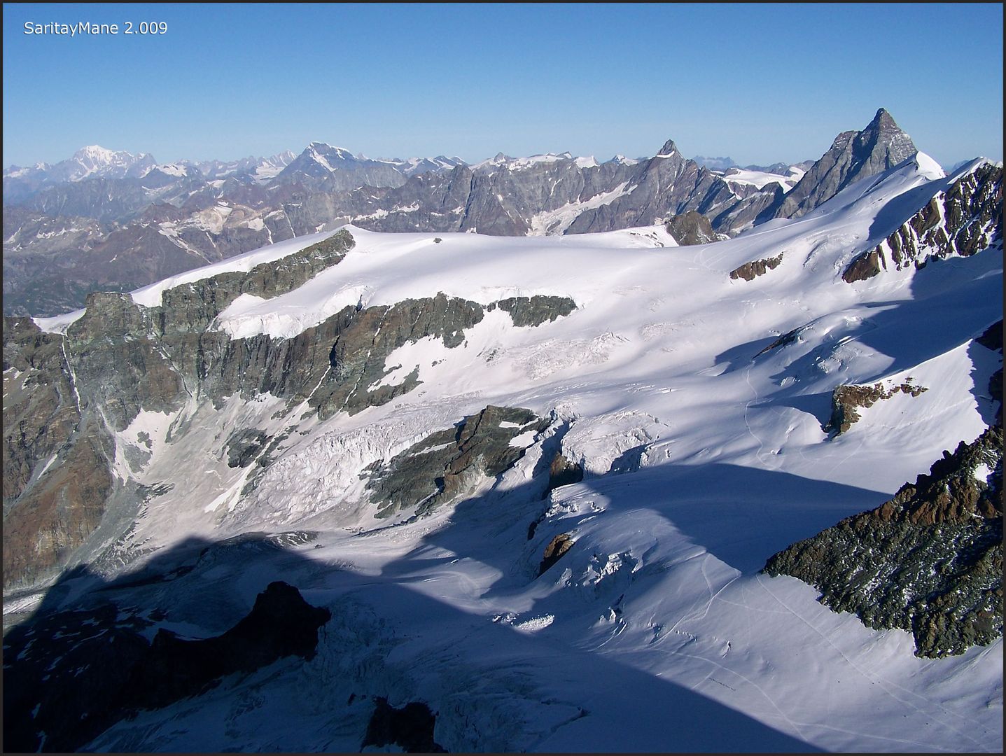
Seeing Dent d'Hérens and the unmistakable Cervino.
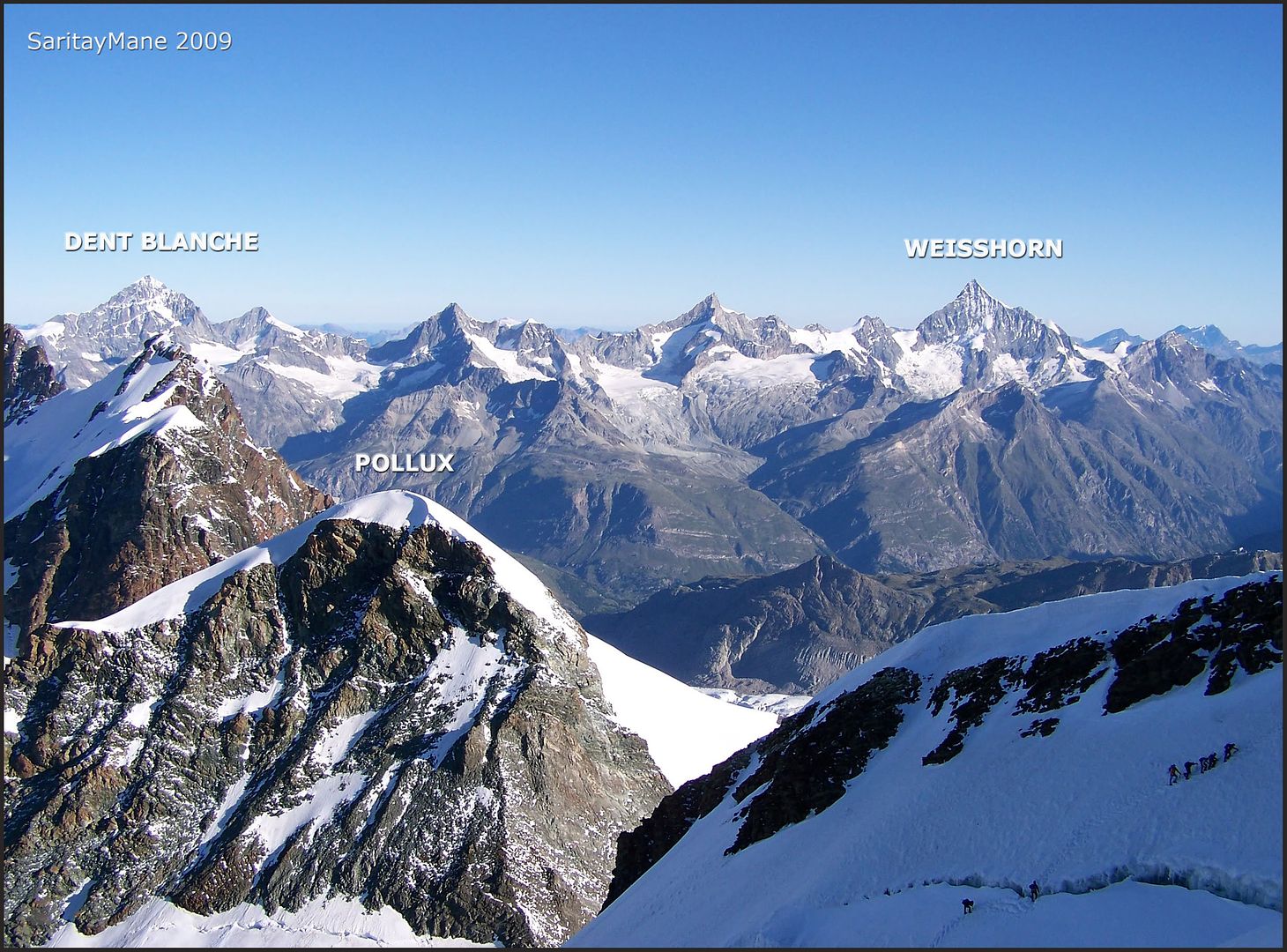
Watching the 'little' POLLUX, that we climbed on September of the last year.
Teams coming from Guide d'Ayas or instead Klein-Matterhorn.
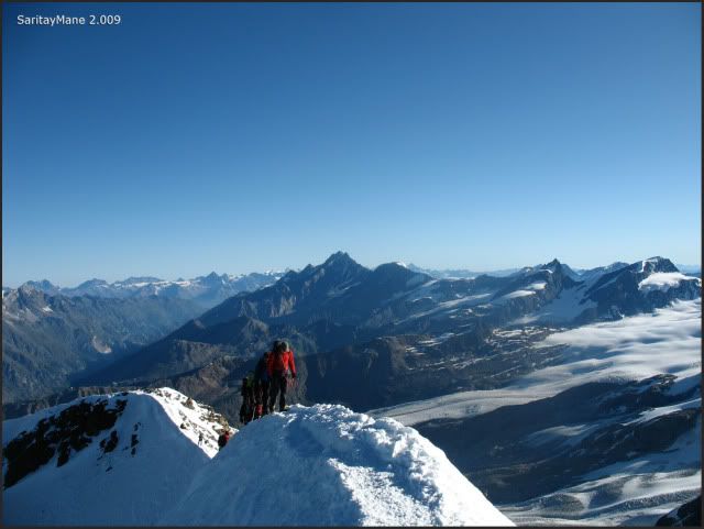
Teams coming from SE Ridge.
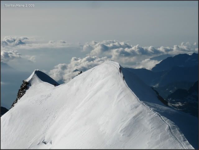
Seeing the trace from 'Felichjoch' till here, and the secondary Summits.
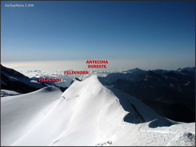
It's getting really busy up here. Many teams, many ropes at our feets and a small area to stand; we'd better go soon.
Turning back on our way.
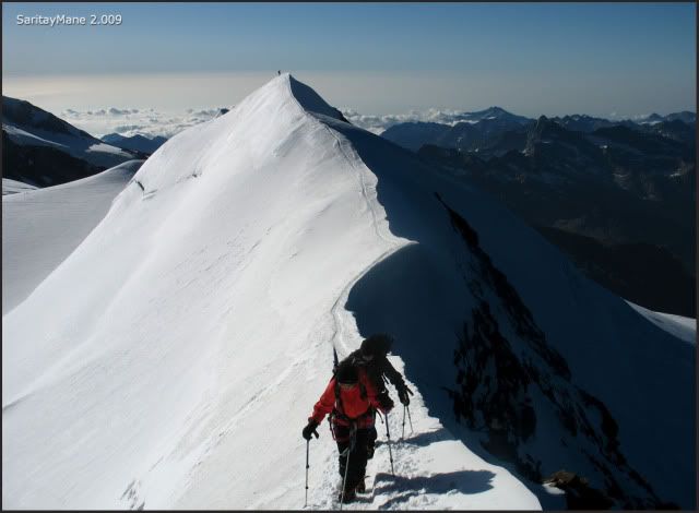
We detain for a while on a smooth area over the ridge, and take some pictures.
All of the Valley of Aosta to Mont Blanc.

The summit is in a traffic jam.
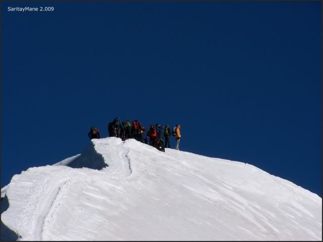
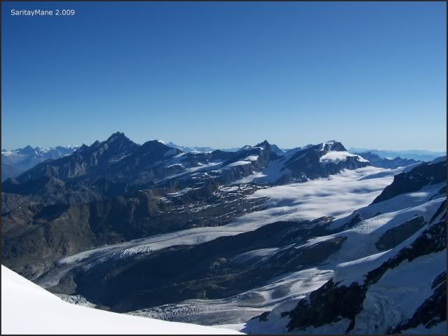
While we take a sight to the enormous Swiss Glaciers.
Pre-Summit SE of Castor (4.194 m – 13.759 ft).
Seeing Mont Blanc in the background.
The ridge to the Felikhorn.
The one we get after a few minutes else.
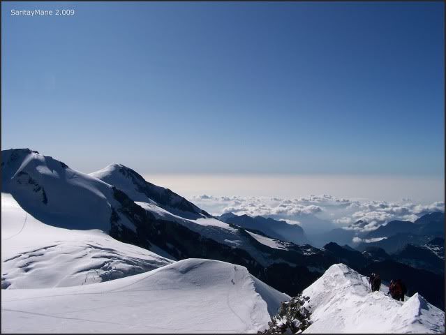
Summit of Felikhorn (4.174 m – 13.694 ft).
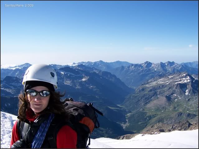
We descend to 'Collado Felik' or Felikjoch shelf, once there we’ll move to the 'Cúpula Felik', the lump we surrounded before, as we got to Felikjoch shelf.
By the normal route to Castor.
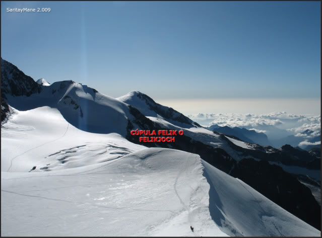
Gran Paradiso is towards South.
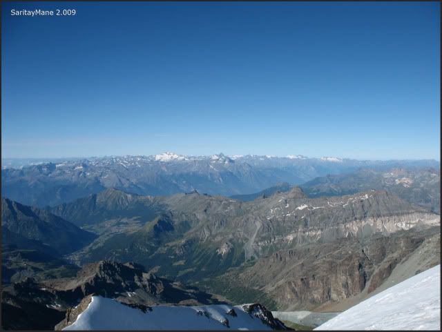
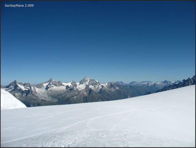
Watching Weisshorn, going to the Summit of Felikjoch.
Summit of 'Cúpula Felik' also called 'Felikjoch' (4.093 m – 13.428 ft).
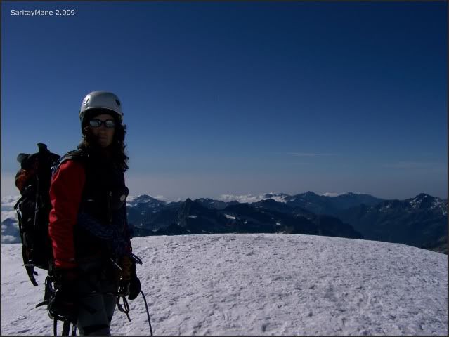
Watching Lyskamm from here.
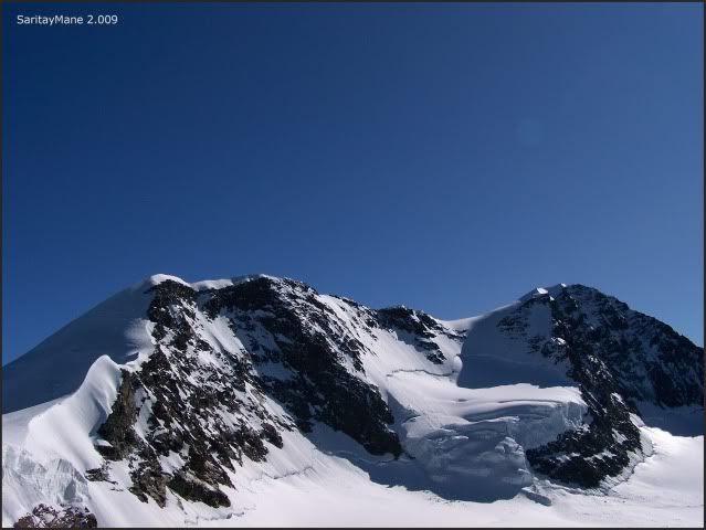
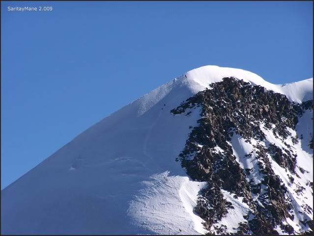
Seeing teams ascending the West Summit.
The famous pass called 'Il Naso' towards the 'Monte Rosa'.
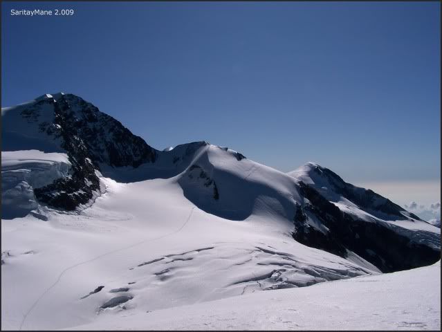
Some teams are on their way there.
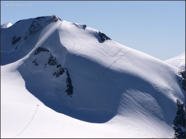
We move soon down to the Hut Quintino Sella.
Teams ascending to the SE Ridge Castor right now.
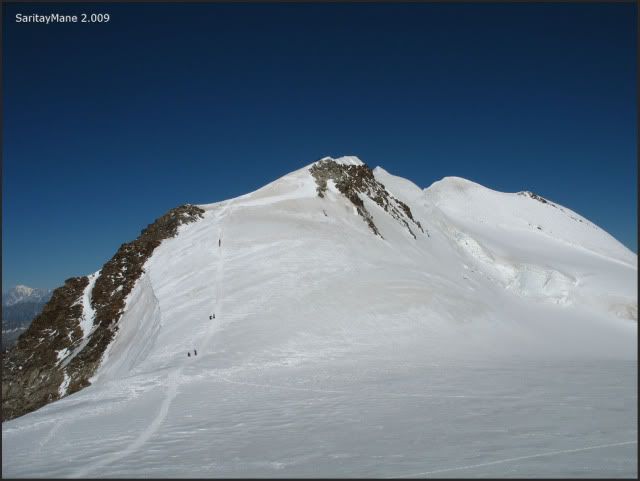
Here we find a family with both parents and two sons... and one only pair of crampons! Nice way to risk your family, even in such an easy route.
The family...
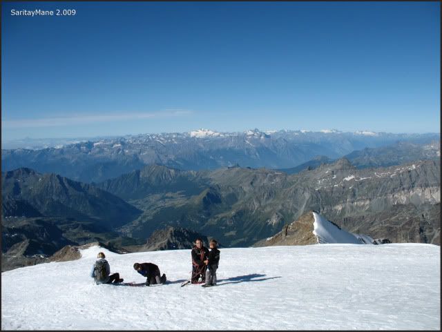
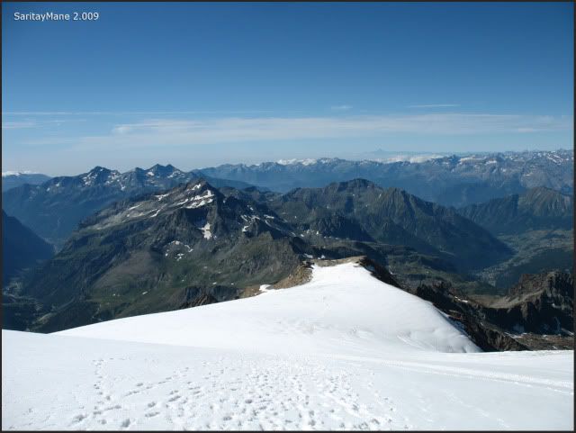
Seeing the great crevasses on the Glacier of Lys.
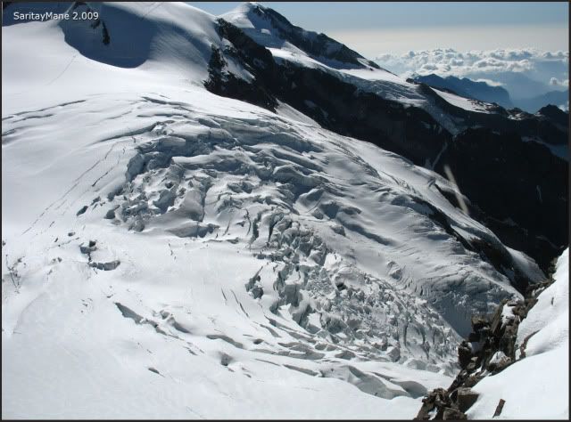
The trace to the hut.
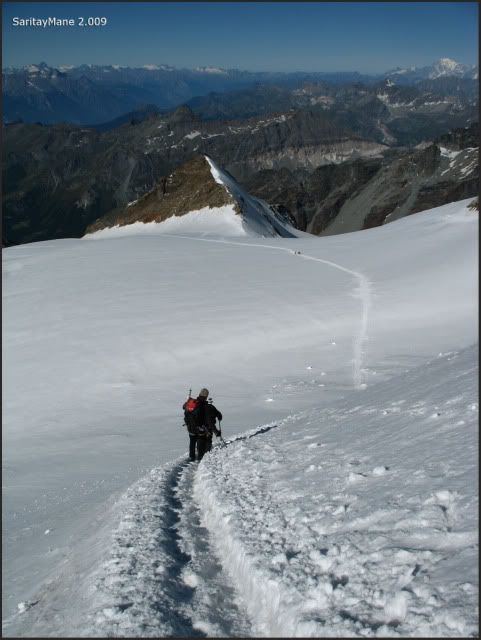
Mont Blanc raises over the rest of peaks.
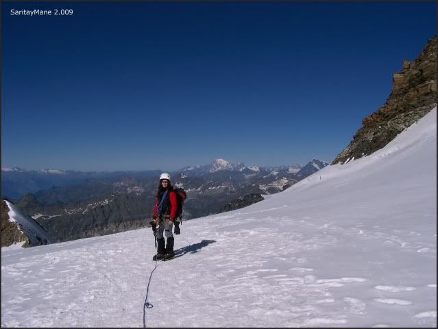
Leaving back the Castor.
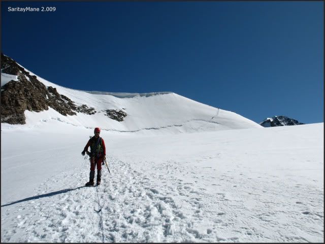
Moving back to Quintino Sella.
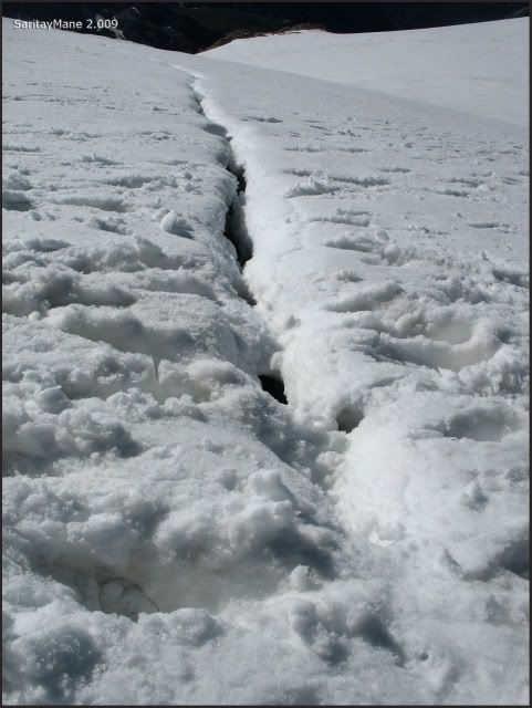
At this time of the day, it begin appearing crevasses. Snow bridges are getting weak. Not very dangerous, but better take care fo them.
Something like this; I did’t figure this to be here this morning.
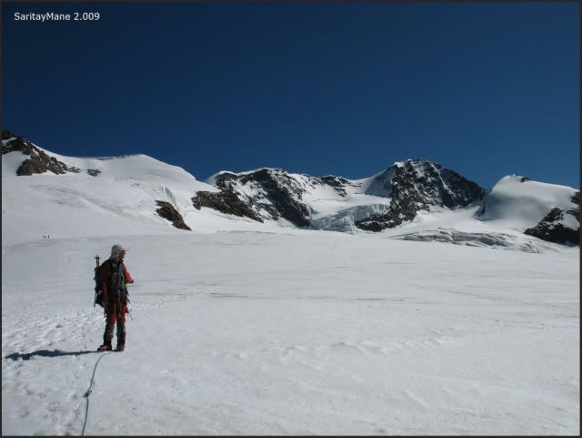
Seeing Lyskamm, again.
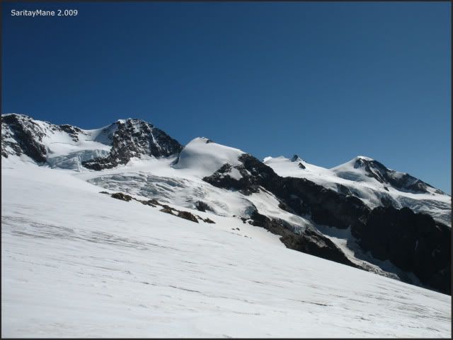
The 'skyline' from Gniffetti to Monte Rosa, covered by the Lyskamm Ost.
Soon we arrive the hut.
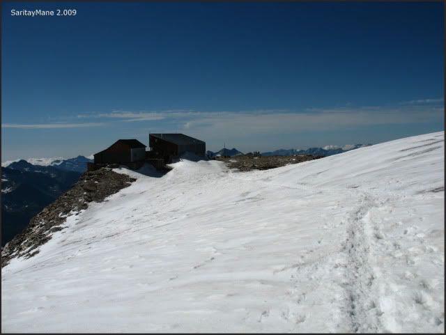
Today is up.
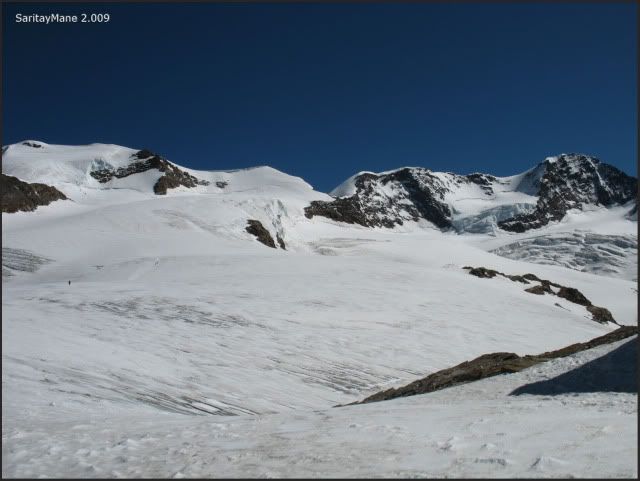
Most of the teams descend directly to Colle Bettaforca, so much that the hut gets not busy. We make the most of this situation, to take a rest in the beds.
The restroom on the third floor.
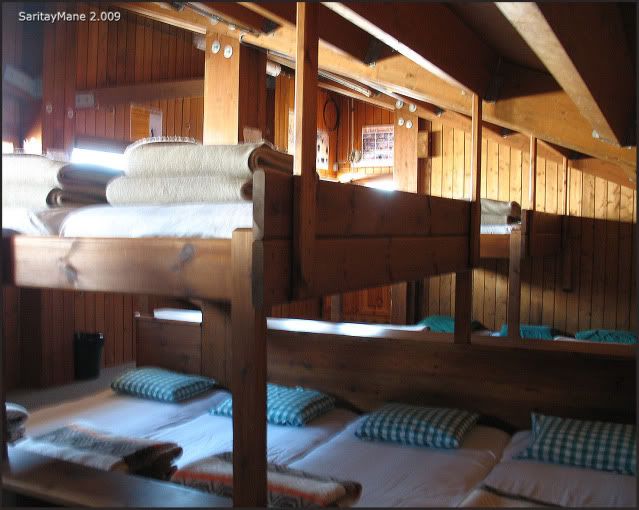
We spend the day in the dining room, go to roughly 19:00. We expect to climb tomorrow the Lyskamm West.
To look for another Climbings in English Version, click on this link: RANK OF PEAKS. ENGLISH VERSION.

No hay comentarios:
Publicar un comentario
¡¡Tu opinión es muy importante para mejorar nuestro Blog!!
Cualquier duda, sugerencia o crítica será bien recibida.
Si al descargarte alguna de las imágenes de gran tamaño (croquis, mapas, panorámicas) no puedes visualizarla con el Visor de Fotos de Windows, prueba con cualquier Programa de Edición de Fotos.
Si no has podido descargarte algún Track Log para GPS o si no funciona algún link, deja un comentario y lo solucionaré lo antes posible.
Si tienes tu perfil habilitado o pones tu Nombre/URL podré visitar tu Web/Blog y enlazarl@ al nuestro.
¡¡Gracias por visitarnos!!
Escribe tu comentario a continuación: