We are going to climb the Balaitous, a prestigious peak in the Pyrenees. This is a pretty good climbing, not only for the mountain, but because of the pleasant and magnificent valleys in this part of the Pyrinees: Valley of Tena.
For every 'Pyreneeists', this is a dreamed climb, with climb, cliffs, nice trekking, and a final splendid sight.
Spanish version in this link: BALAITOUS O BALAITÚS (3.144 m). VÍA NORMAL O BRECHA LATOUR (AD-/150 m/50º máx/III máx)
SITUATION
Valley of Tena. Huesca Pyrenees/France.
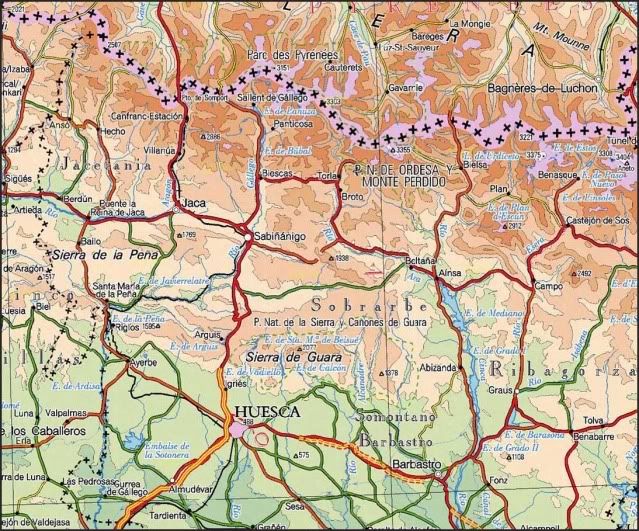
STARTING POINT
Hut of Respomuso, keeped from May the 15th to December the 15th.
To look for the trekking to the hut, coming from Sallent de Gállego search on 2.009/06/09.
CARTOGRAPHY
Valley of Tena. Range of Tendeñera Peña Telera 1:40.000. Alpina Editions.
MAP
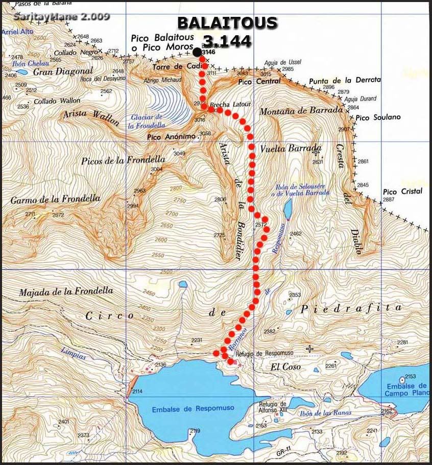
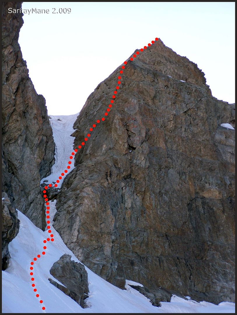
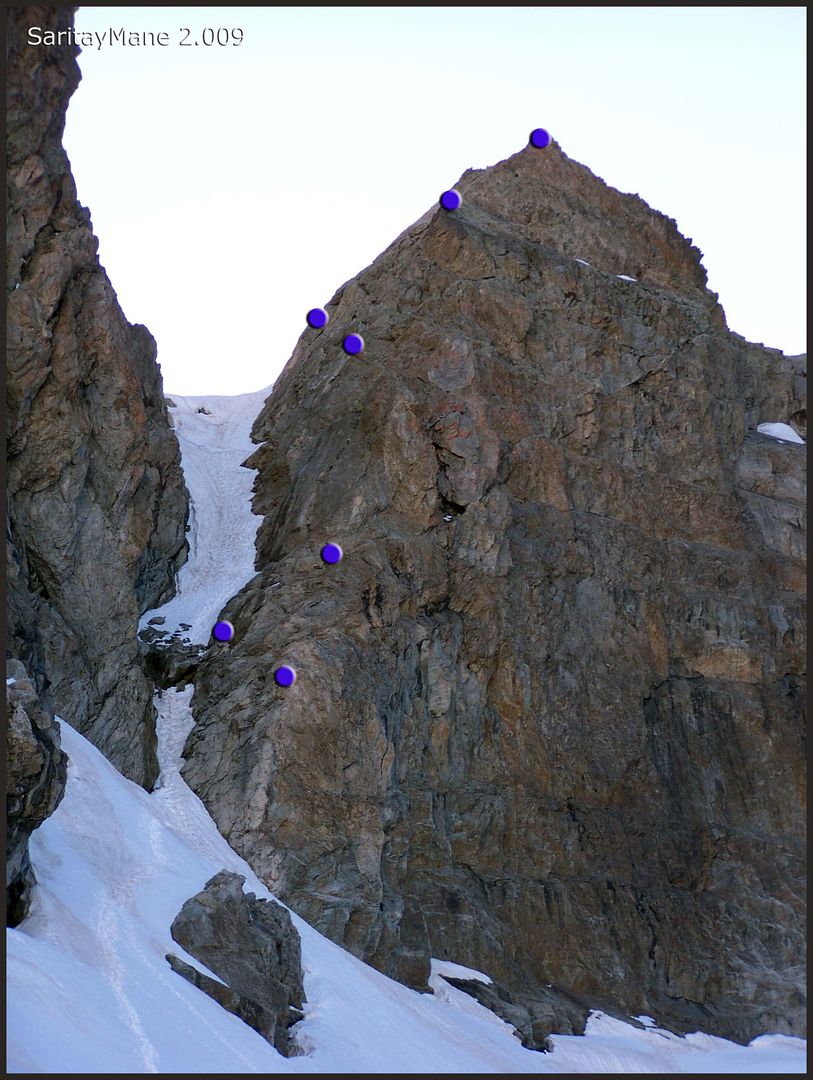
DESCRIPTIVE SKETCH FOR CLIMBING LATOUR CRACK
DESCRIPTIVE SKETCH FOR ABSEILING DOWN LATOUR CRACK
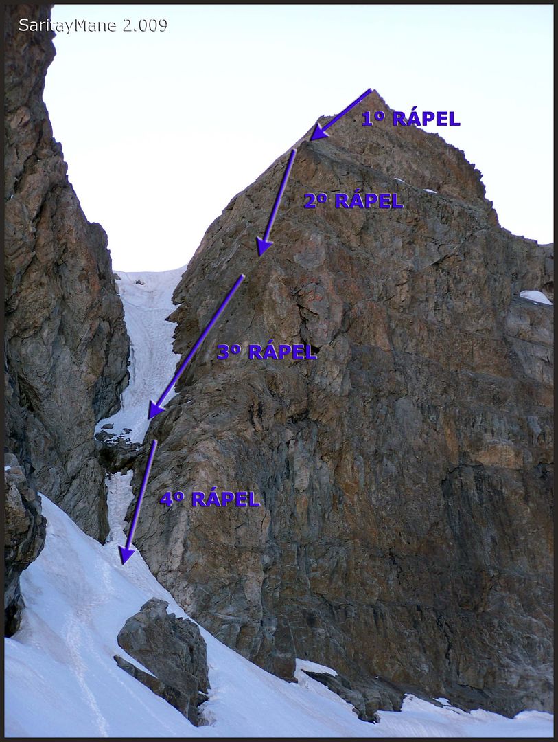
DESCRIPTIVE SKETCH OF EXISTING BELAY STATIONS
RESUME
UNEVENNESS: 1.000 m – 3280 ft (+/-)
TOTAL DISTANCE: 7 Km – 4,34 miles.
TOTAL TIME: 13:30 hours (we suffered bad weather in the morning and also take a long while to abseil the Latour Crack). It might take you 9 hours of time for the most, with good weather and being well prepared.
DIFFICULT: Middle.
50º snow slopes in the couloir of Latour Crack. IIIerd degree climb to avoid an embedded rock block at the beginning of the Latour Crack. Next, you’ll also use steel stakes to make an easy climbing. After this part, I+/IInd degree climbs until the top of the Latour crack.
You will find 5 belay stations over the Latour Crack, separated one from each other round 20 meters – 65 feet long. Another belay station next to the embedded block.
HARDNESS: Middle
EXPOSURE: High
GEARS: 65 meters – 213 feet long rope for the abseilings, besides the rest necessary equipment for belaying and abseiling.
THE CLIMBING
As we wake up early in the morning, we verify the weather seems cluody, not too fair.
We hope it would be clear soon.
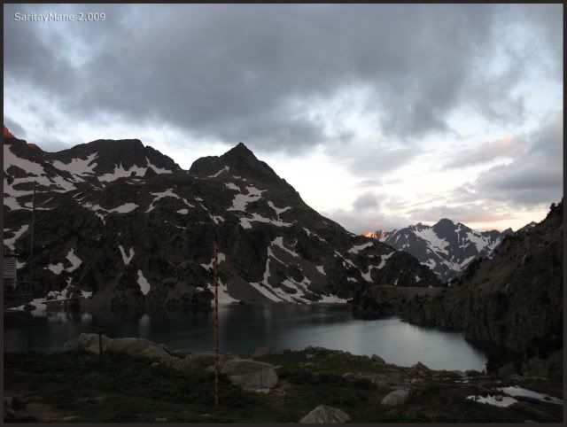
Today we’ll be the only us both climbing the Peak Balaitous. Will be a nice day.
Finally, we’re the last leaving the hut, as we often do.
It seems begining clear.
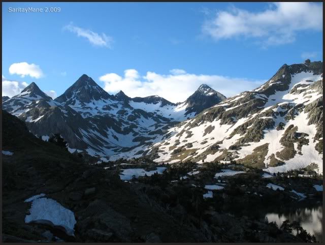
Are we carrying everything?... Yes for sure!
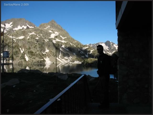
We take the path, well signposted.
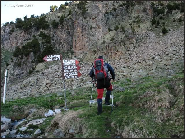
We turn off the main path this point.
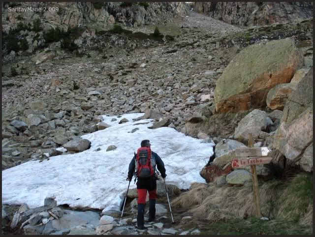
And a few meters up, we are able to see the hut.
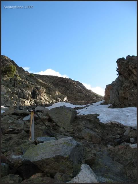
Getting to this signpost.
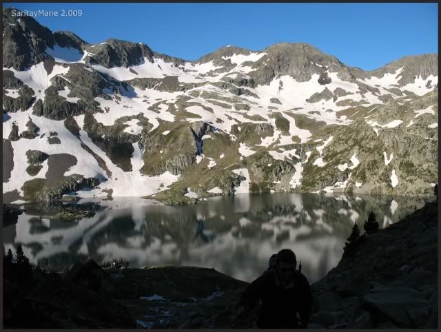
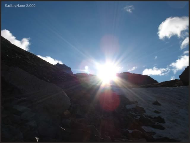
And the sun astonishes us.
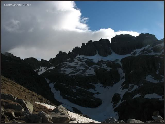
A few meters up we're able to see the 'Devil's Crest' (Cresta del Diablo).
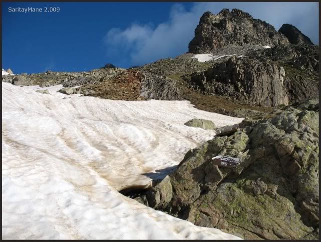
Getting to the crossing to Frondellas.
But we follow the North path.
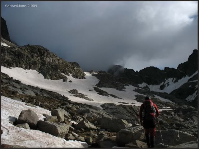
The Devil's Horns are a bit more closer.
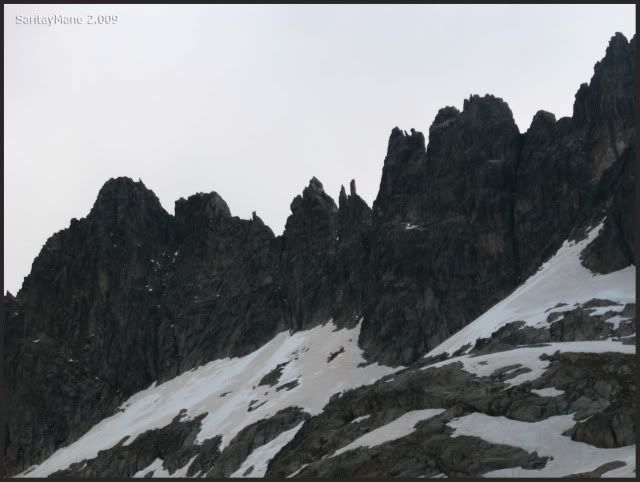
Following this smooth footprints.
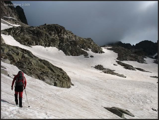
The clouds hanging the crest.
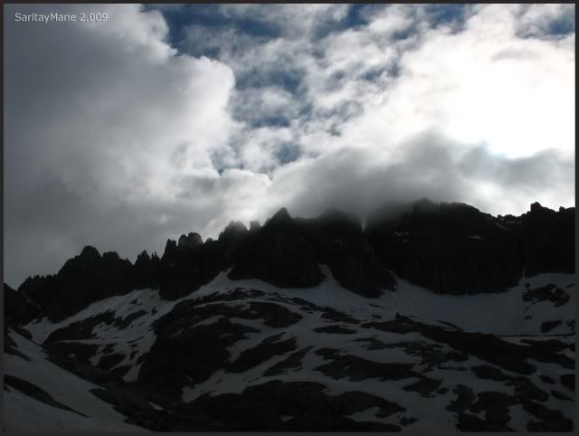
From this point, we put on our crampons.
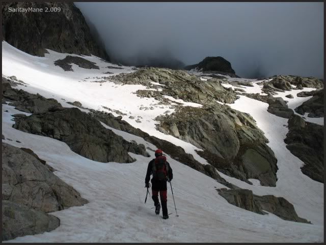
The Escluresa Glacier Lake is a few meters down.
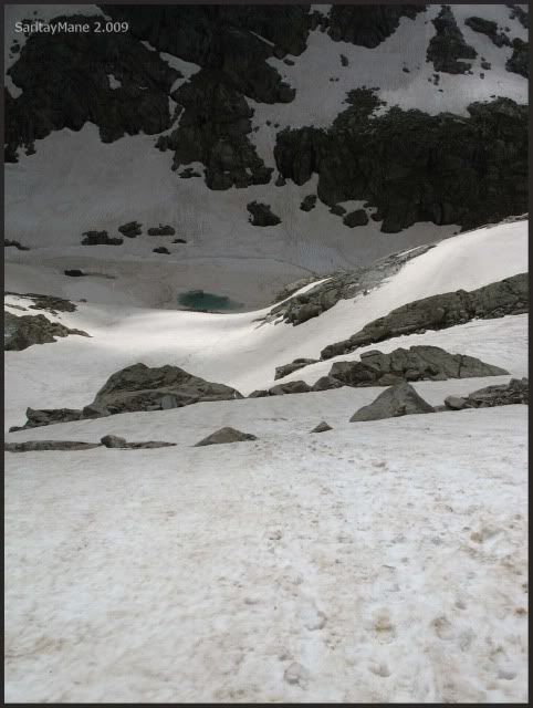
Le Bondidier Crest on our right hand.
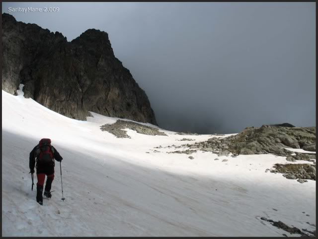
And the GRAN FACHA, where we were yesterday.
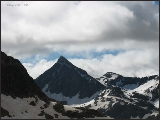
Walking straight upwards.
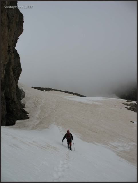
By now, clouds are wrapping us.
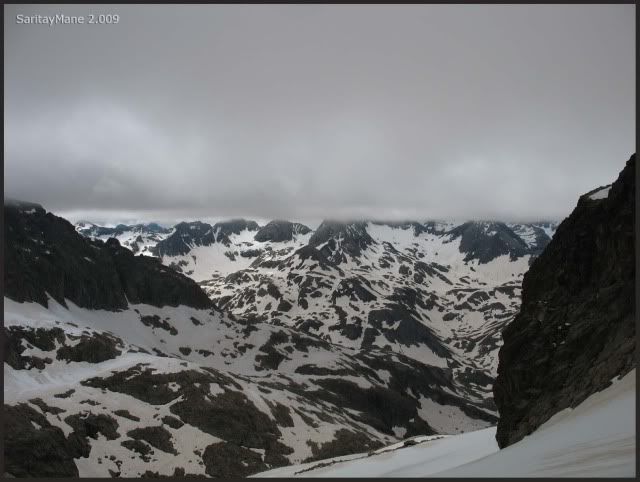
And we can´t see anything.
We can’t find the Latour Crack.
Could it be that one?
Mostly that other one.
Analyzing the situation, we don’t know what to do.
Waiting as we expect the weather to change. It’s cold here.
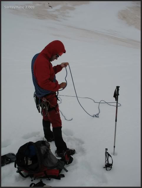
The crack seems clearing.
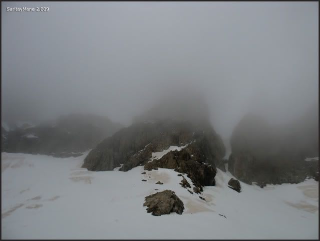
At least, we can see the crack.
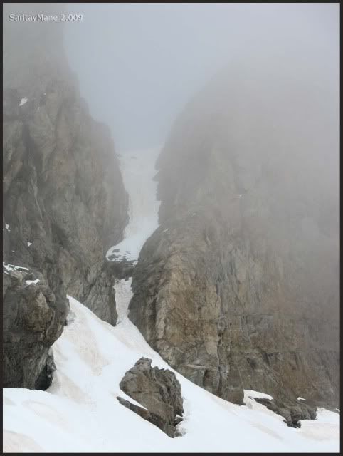
Soon gets cloudy again.
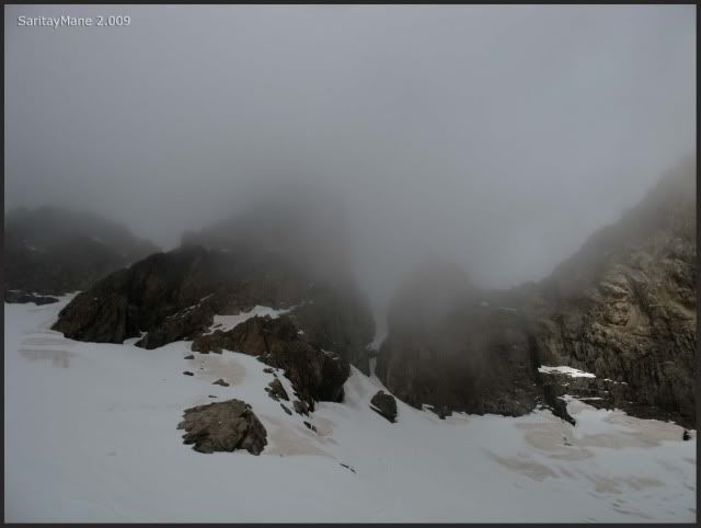
After an hour waiting at the basin of Latour Crack, we decide to make an attemp.
It's near 11:45 in the morning. We move to the basin's crack, expecting this will be a long day.
Walking to the crack, that's what we came for.
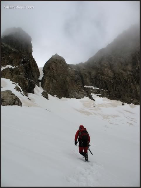
Maybe it will get clear.
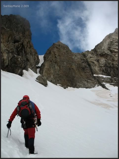
Even though the Devil's Crest is still covered.
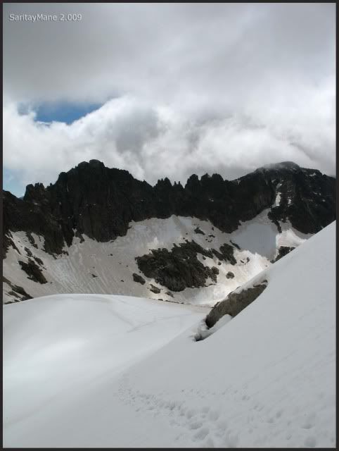
While we approching to the Latour Crack.
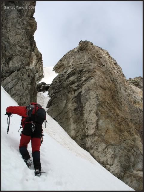
Finally we arrive at it.
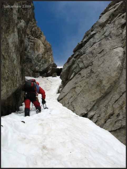
First an easy scrumbling.
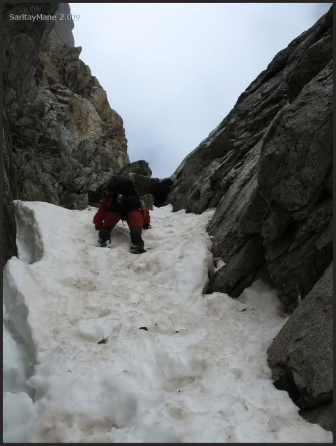
Next we arrive to the embedded block.
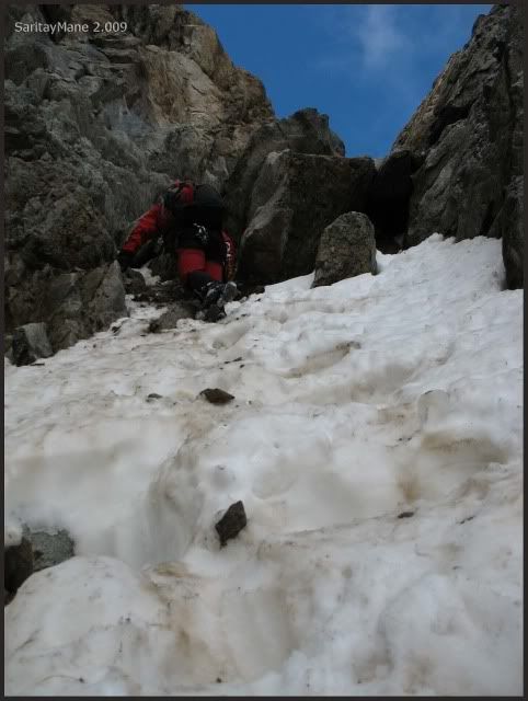
We surround over the left side of the block.
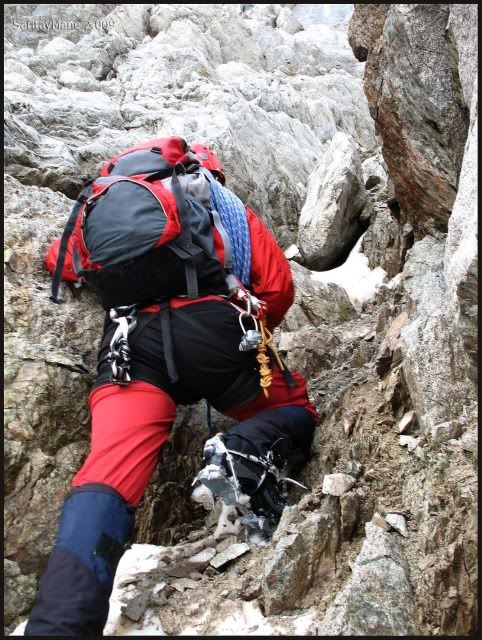
We reach the top of the block without special difficulties.
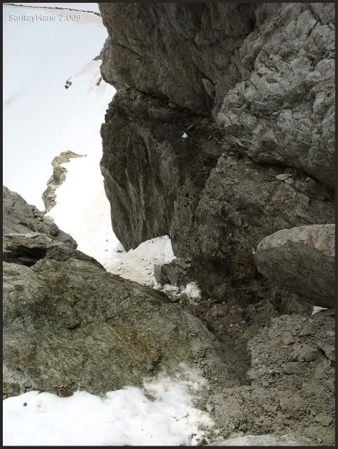
We locate the belay next to the block.
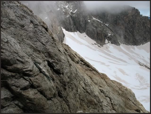
From this point, we should climb the steeped snow couloir untill the top pass. But snow is much soft, and ther'’s a thin carpet. We don't feel much sure indeed.
Climbing towards the steel stakes.
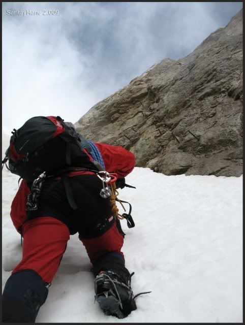
This is what we've climbed.
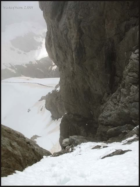
Moving slowly.
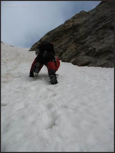
And soon get them.
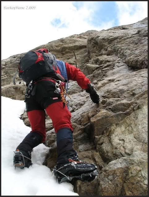
But they are too much separate.
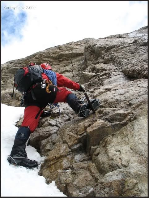
Better not to fall here!
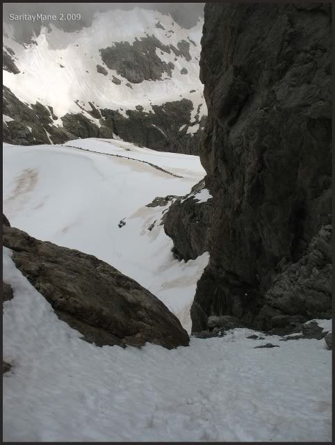
Mane comes back from me.
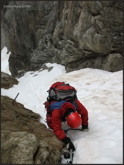
We intend to abandon the crack, so we climb using the stakes, wich helps you feel pretty sure.
Finally we get to a conveninent shelf, where we find it's well fit up.
Belay station with two bolts.
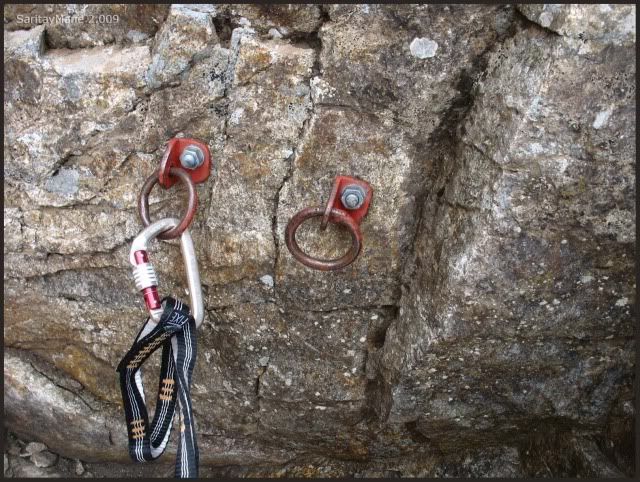
The last steps to top of the crak.
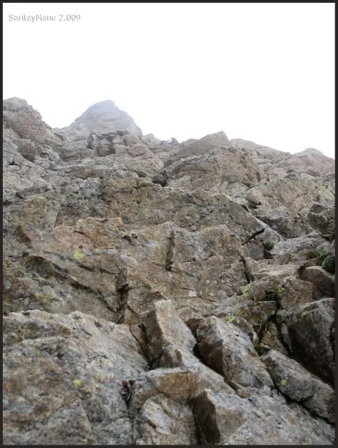
There is the couloir's top.
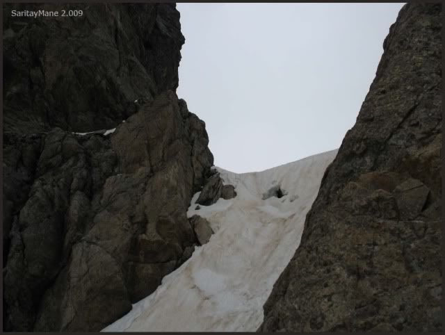
Depite this is an easy climbing, we decide to ascend belayed. At last, there's anybody here smothering while trying to pass you; we can spend time to feel more comfortable.
Getting to the next belay station.
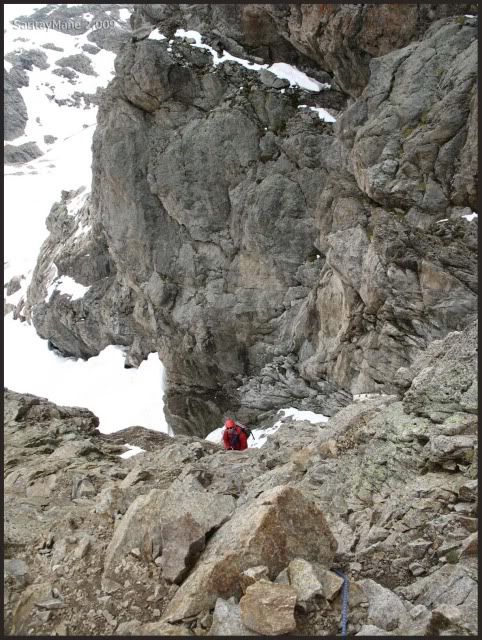
We can see by now the Peak 'Aguja Ussel'.
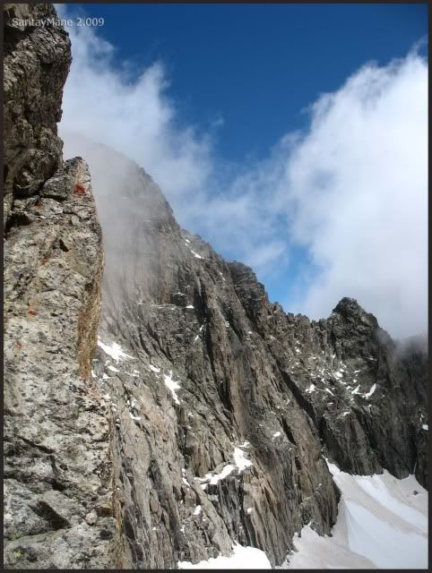
The next velay station is more tan 25 meters – 82 feets long ahead. Many reviews indicates 25 meters – 82 feets long between each belay station. We might have passed over some belay. But we don't know.
Now we are close to the top.
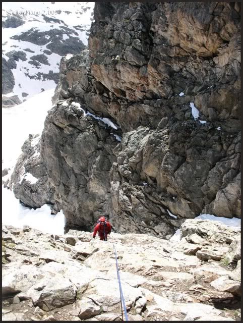
All of the time using the rope.
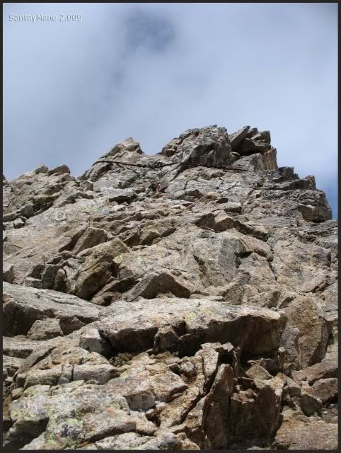
A few meters up, finally, seeing the Peak Balaitous.
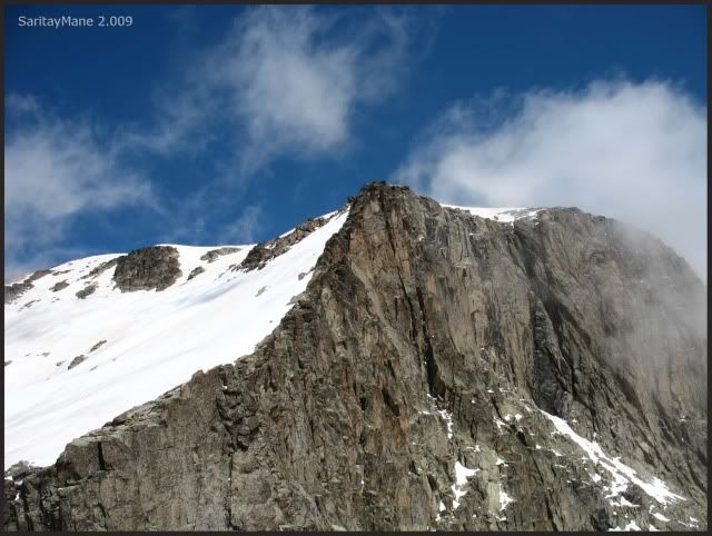
While Mane watches at me.
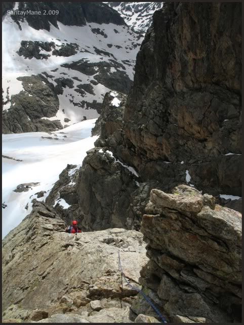
The top belay station consisted of a steel cable.
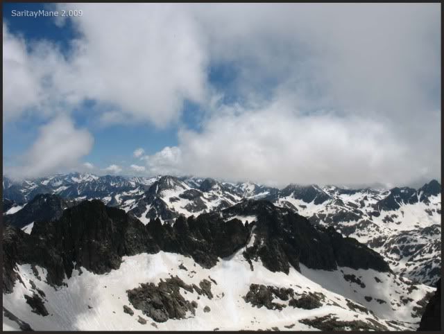
Once we arrive to the top, we contemplate the Peak Palas.
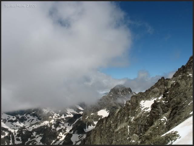
And the Devil's Crest.
Mane is finally on his way to the top.
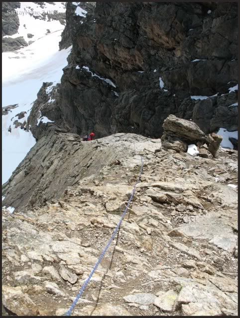
From the top, it's still a bit cloudy, but seems much more clear than before.
It only remains a walk on the snow, to get to the top.
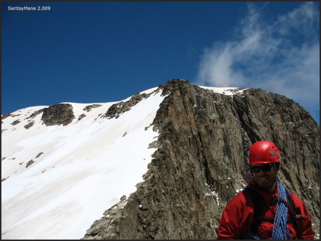
Descending a few meters down over the rock lump where we were.
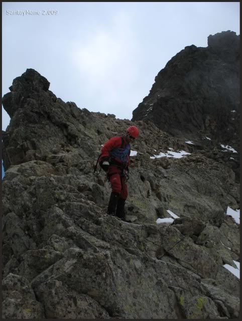
And we head to the summit.
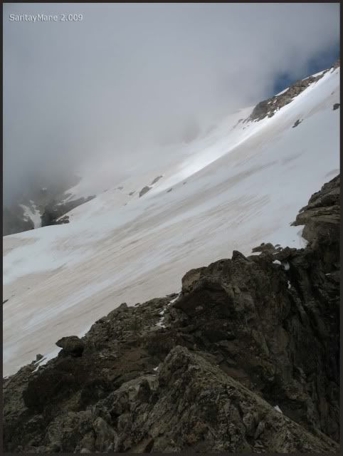
Crossing diagonally the back of Balaitous.
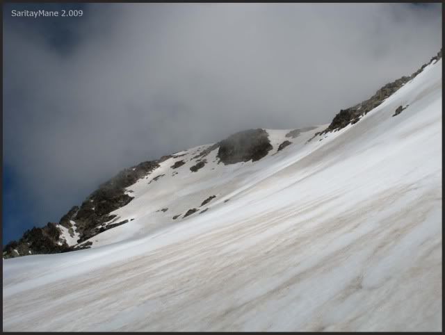
Leaving back the Latour Crack. See also the Peak 'Aguja Cadier'.
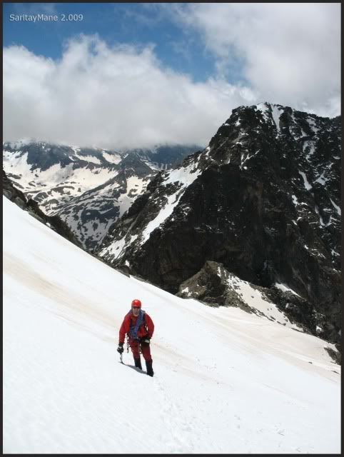
We look at the Frondellas Peaks.
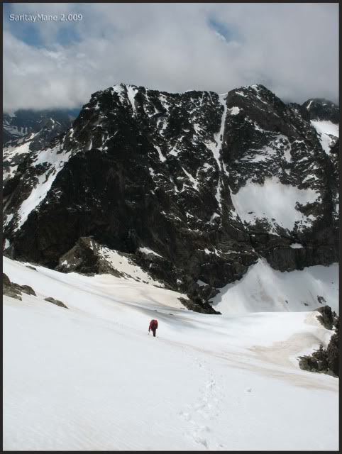
Next to the final ridge.
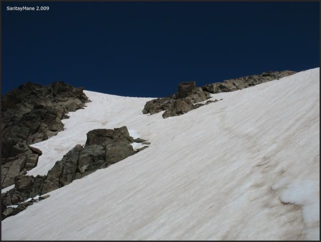
The final trace.
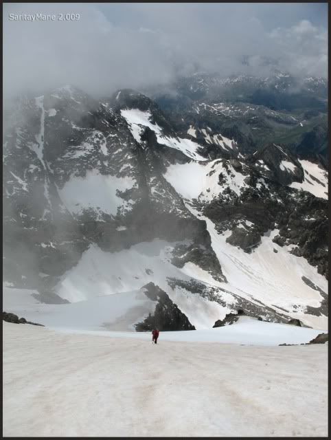
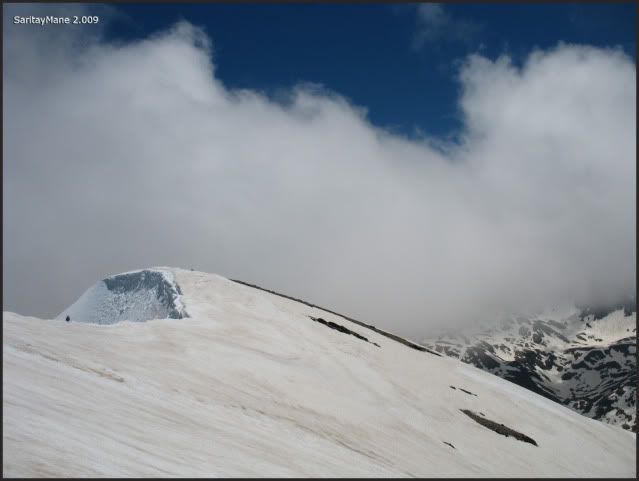
There we see the pre-summit, when the wind blows harder.
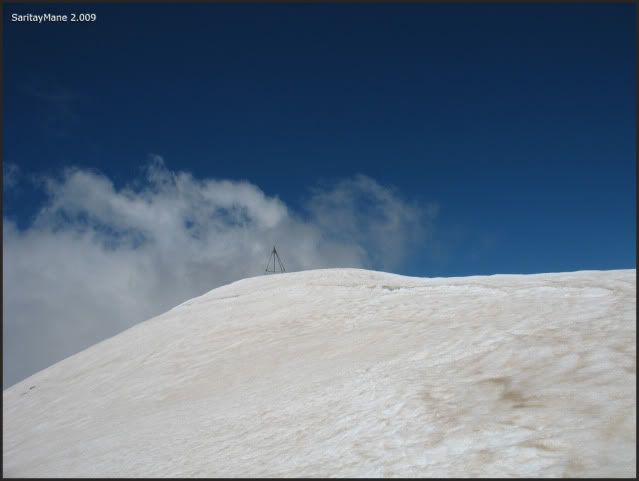
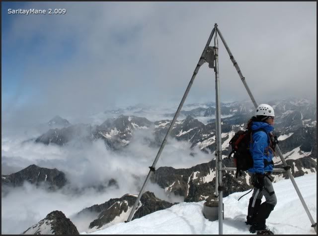
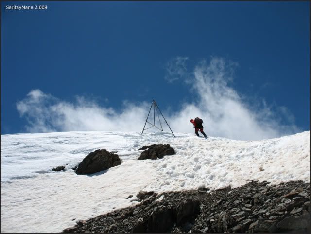
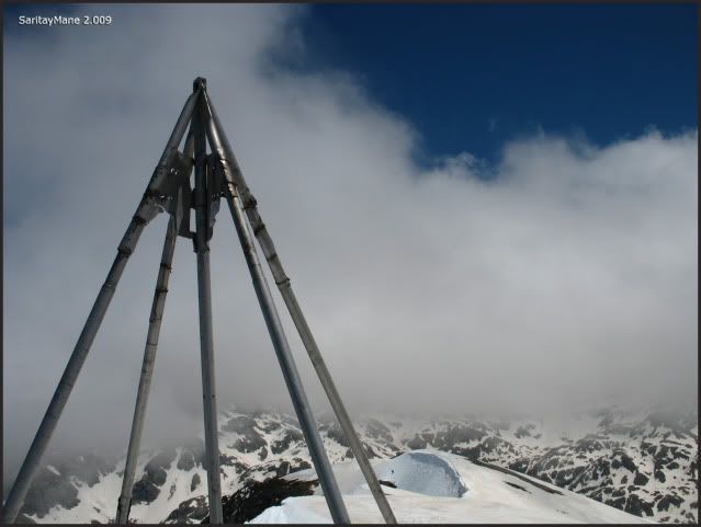
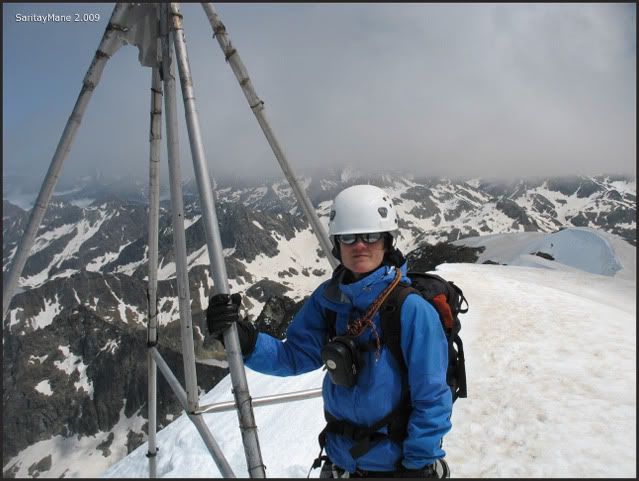
There’s the tripod that signposts the summit.
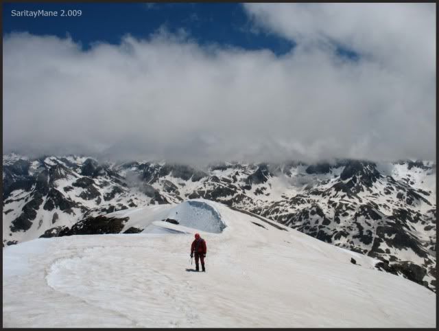
Mane is close to me.
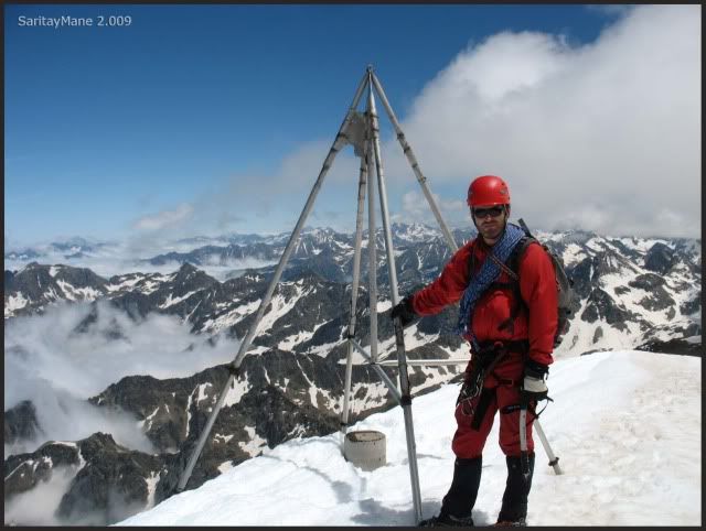
Finanlly we get to the tripod and the stonemile.
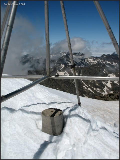
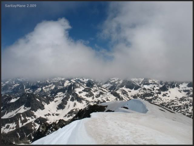
The view Westwards.
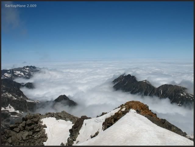
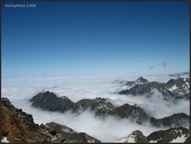
The sea of clouds, and the peaks.
Summit of Balaitous o Balaitús (3.144 m – 10.314 ft).
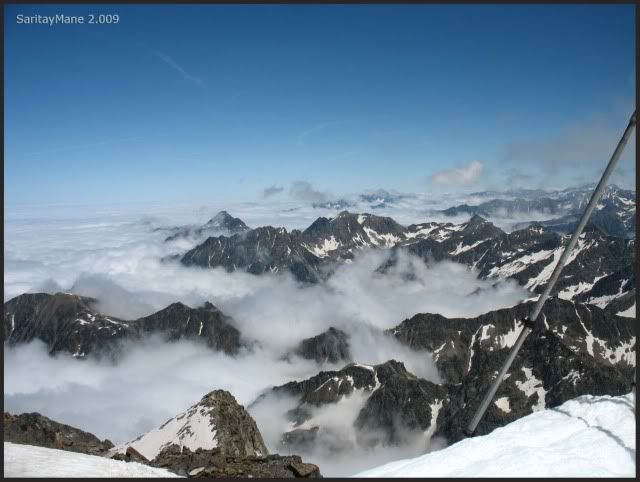
What a pity about clouds!.
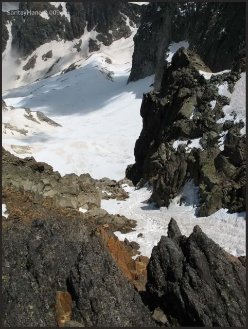
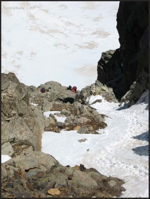
We take shelter in a vivouac heading to the Glacier of 'Neus'. Some meters down there's a rope - team, descending.
Zooming at them.
Amazing sights.
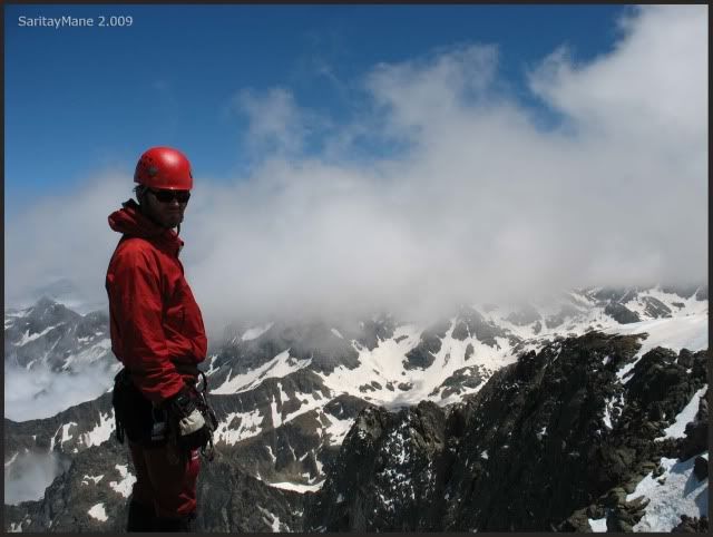
Watch his mountaineer's profile.
After an hour long we decide to move down, we take a last view at the team descending, and they're still down there.
We think they may be in troubles.
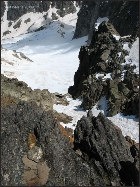
The Glacier of 'Neus'.
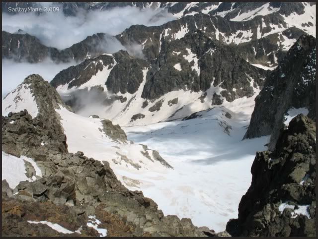
This is another route to the Balaitus, and it's also fitted up with some belay station.
Again up to the summit.
See the vivouac.
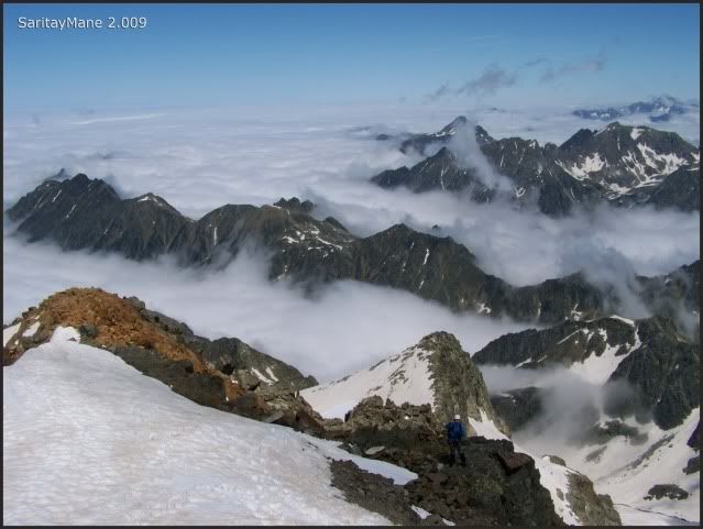
Still cloudy.
Glacier Lakes of Arriel down there.
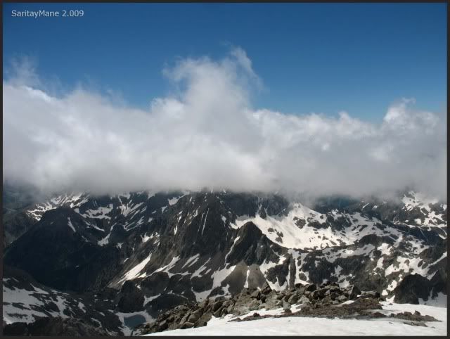
Peak Palas covered of clouds.
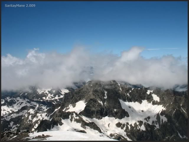
We leave the Balaitous, finally.
The last picture from here.

Taking the same way as to come.
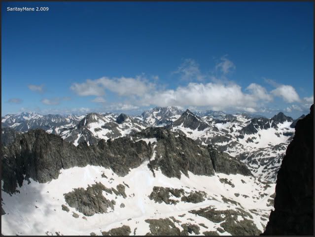
While Pirenees are covered all around.
Leaving the ridge to the summit.
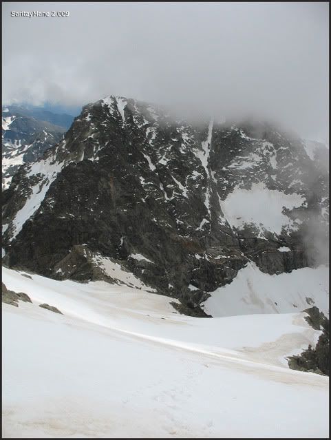
The Frondellas an Peak Aguja Cadier in front of us.
A part of Tena Valley.
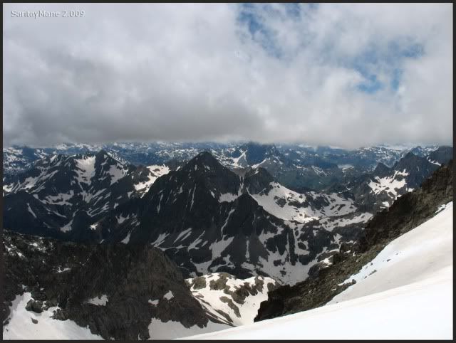
Our last steps on the snow slope.
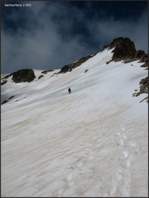
While we take off our shoes.
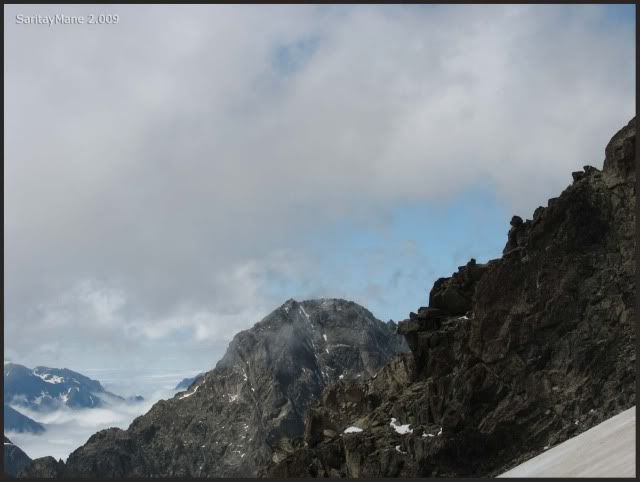
Walking to the top of the Latour Crack.
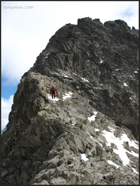
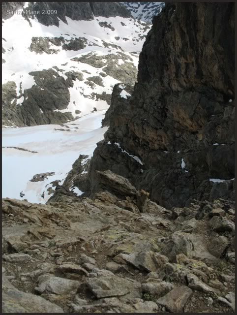
From the first belay station, it's possible and highly recommended to abseil the crack.
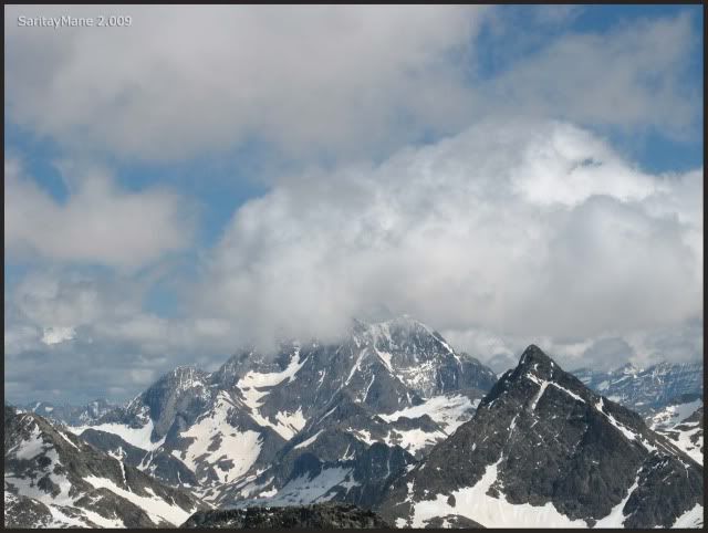
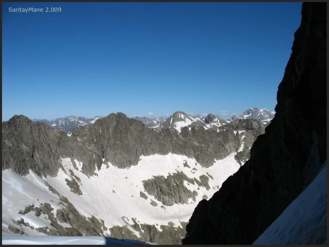
Seeing the Vignemale.
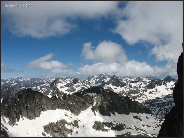
Zooming at it.
First strecht to abseiling.
Good bye, Balaitous.
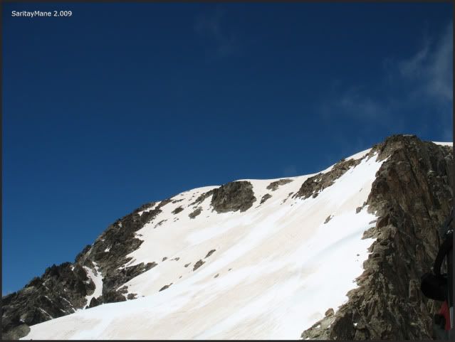
Looking from the second belay station.
Mane abseiling to here.
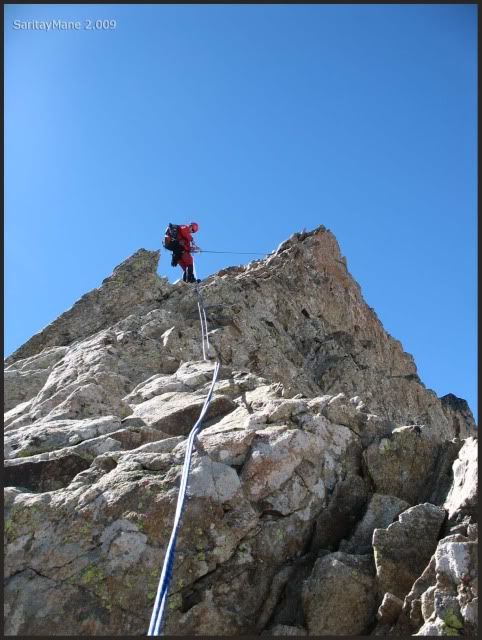
From the second belay station, as we expected, it's more tan 25 meters – 82 feet long. So I rest on a thin shelf 5 meters – 16 feet above the next belay station.
Mane abseils untill here.
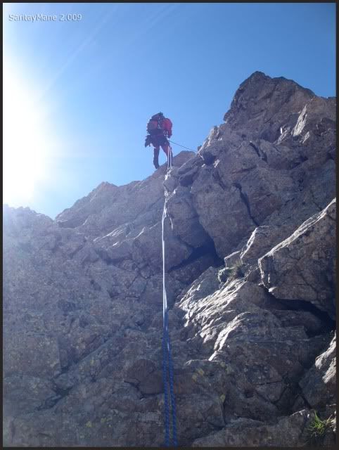
Preparing the abseiring.
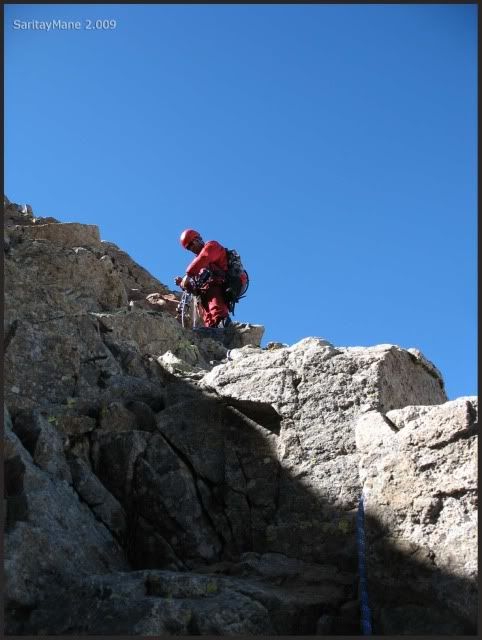
We descend to the belay station without abseiling. From this point, it only remain two more abseilings.
As the next one, coming from here to the embedded rock block.
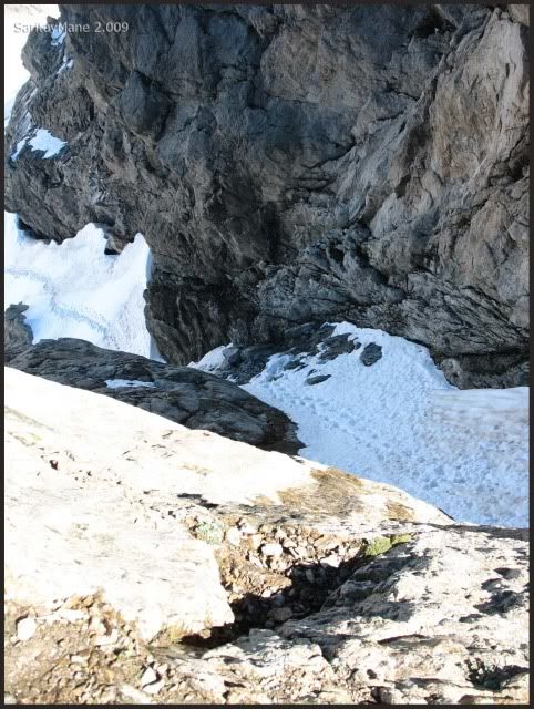
I do it quick.
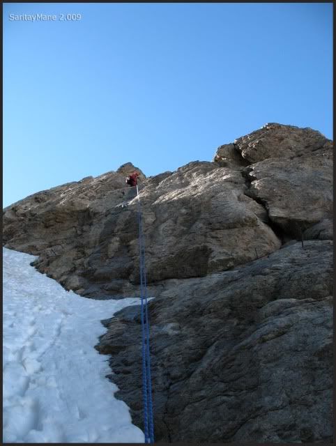
Now I'm situated upon the block.
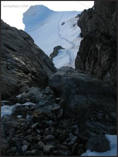
I do move horizontally to the belay station next to me, on the west wall.
And find the 4th anchor.
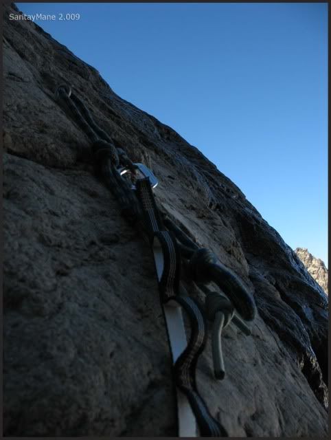
By now it's a fairly clear day.
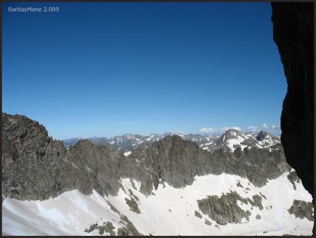
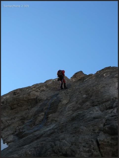
Mane abseiling the rock...
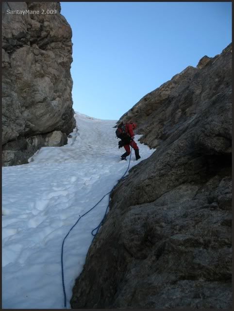
... next on the snow.
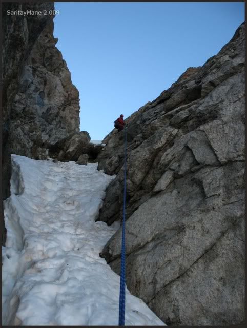
Doing the final abseiling.
By now Vignemale is utterly clear.
Mane is on the last abseiling.
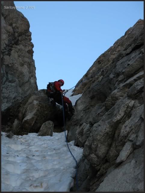
Doing the last stretch.
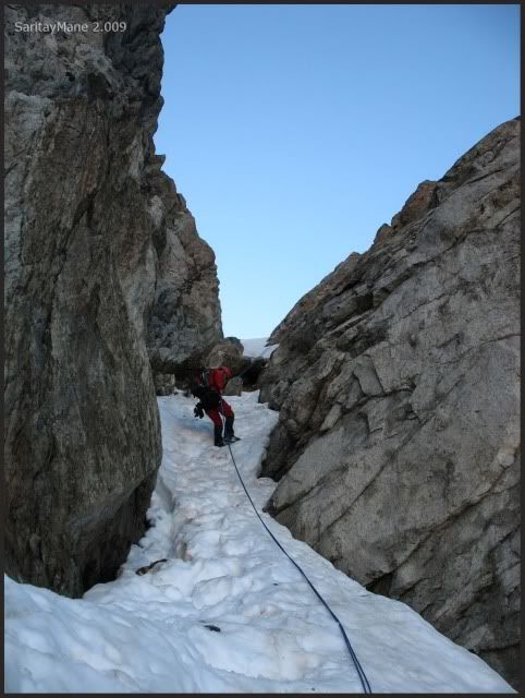
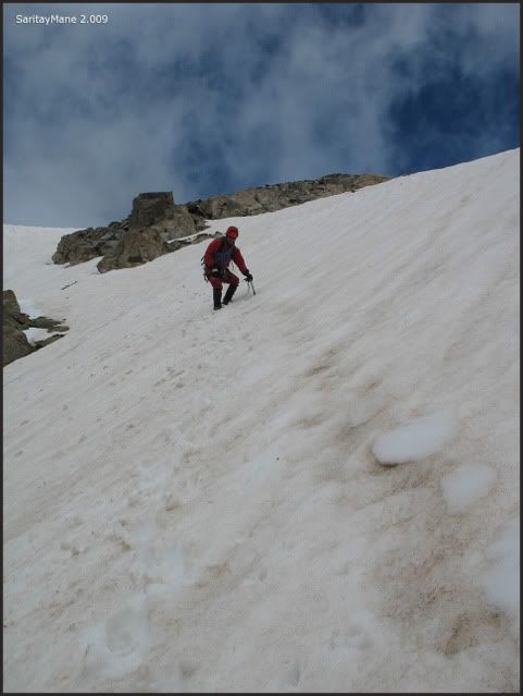
Finally we descend the steeped slope. The last difficulty of the day.
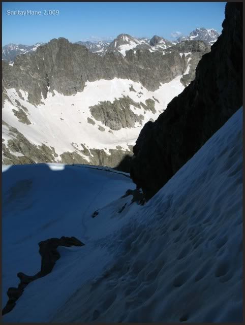
Carefully.
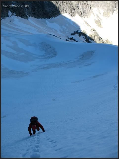
Now walking.
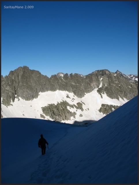
Saying good bye to the Latour Crack.
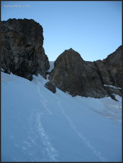
It was 'a nice walk'.
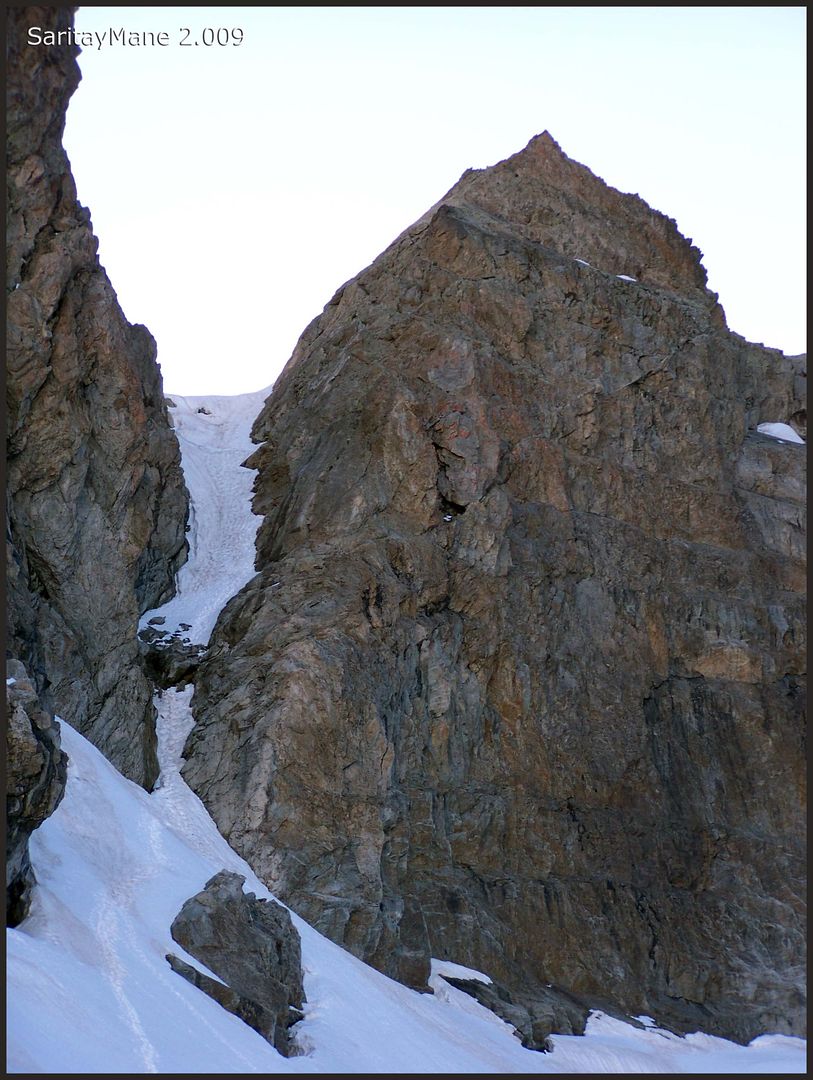
It's a sunny afternoon.
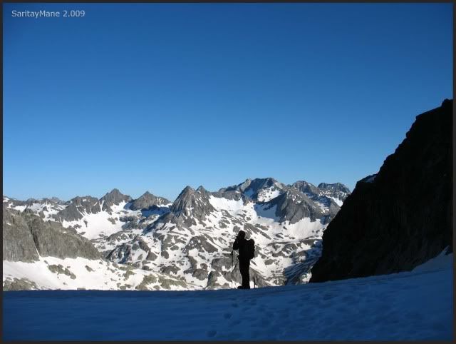
The Casterillou Tower.
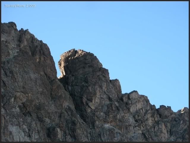
The Peak 'Aguja Ussel'.
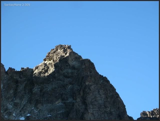
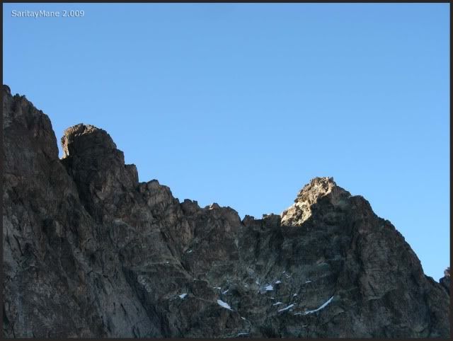
Both them are two of the hardest-to-climb peaks in Pyrenees.
Mane posing in fornt of 'The Panticosa nine guys', as MASKARELL named them on his web. (Best wishes to him).
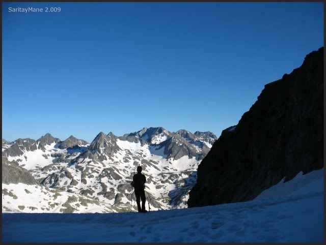
The Hell's Peaks, where we were in the last year.
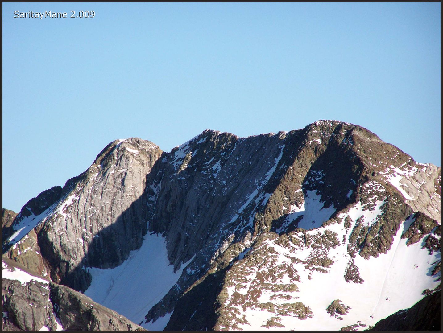
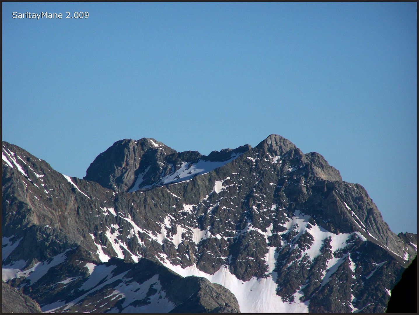
Peaks ALGAS NORTE - ALGAS and Argualas.
The Devil's Crest, totally clear.
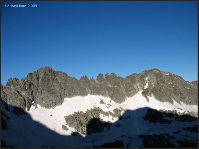
Bordering the Bondidier Ridge.
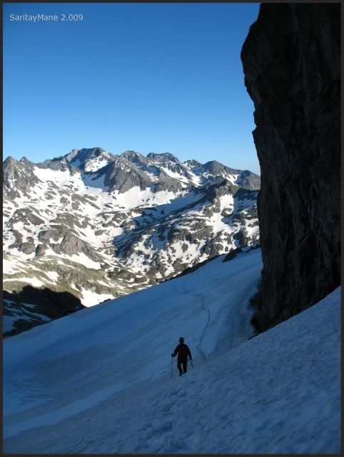
It began cloudy, and It's going to get dark sunny.
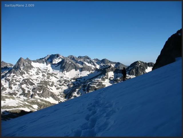
Good bye, Balaitous.
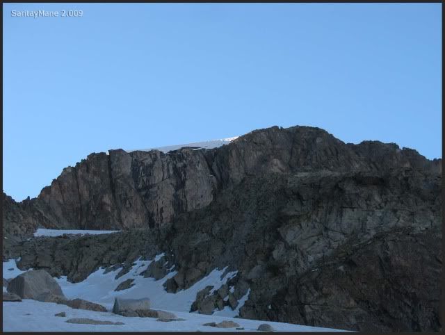
Descending on the same path we walked before.
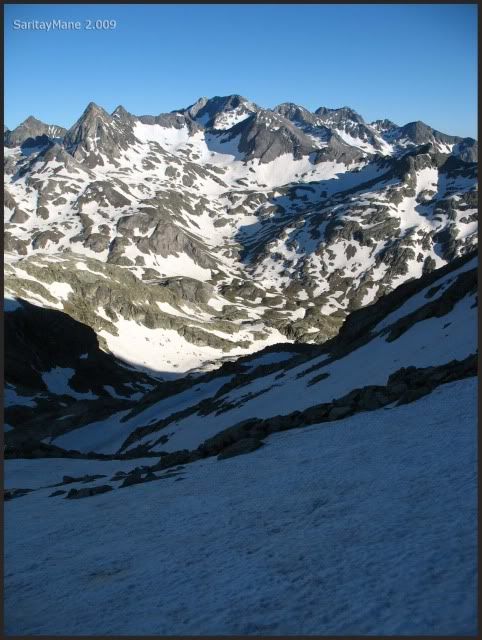
Contemplating the landscape.
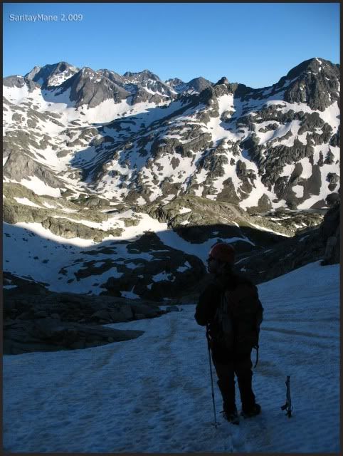
Getting dark as we're on our way to Respomuso.
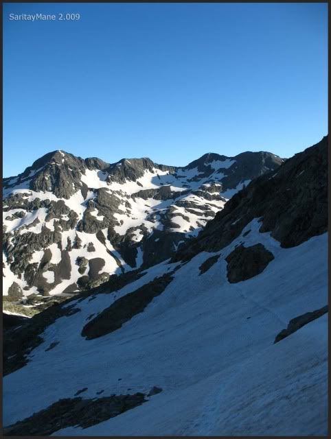
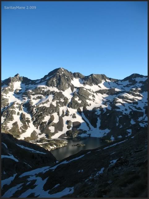
Finally, we're able to see the Respomuso Lake.
Somebody is excited because he wants to arrive 'home'.
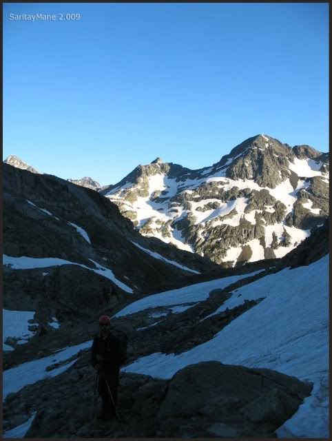
By now, we can see the hut.
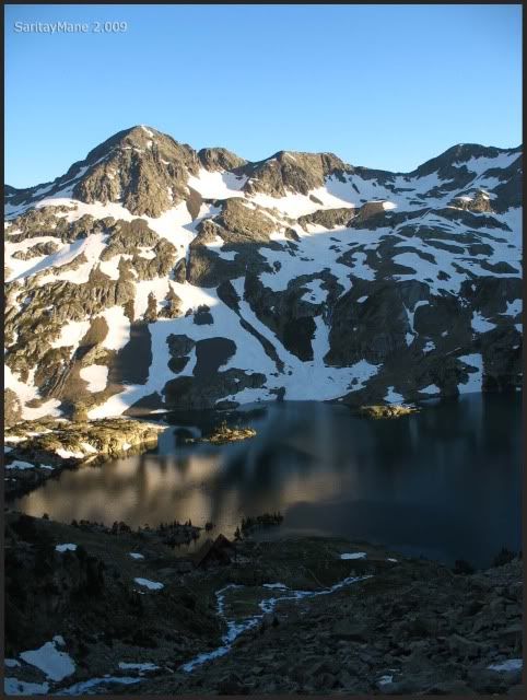
Where we find much more people than yesterday.
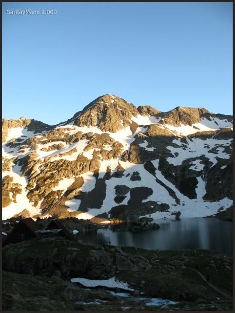
We arrive to the hut before it gets dark.
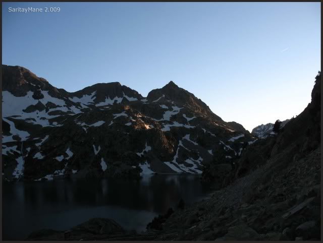
Many people climbing tomorrow the Balaitous. But we did it today, tomorrow we won't suffer the traffic jams on the Latour Crack.
We're tired, so we have a great dinner and prepare to have a big rest. We've reached the Balaitous.
To look for another Climbings in English Version, click on this link: RANK OF PEAKS. ENGLISH VERSION.

Plas, plas, plas, (applause) impressive I have seen, read and reread congratulations to conquer that mountain so attractive is that no wonder he's one of your favorite, cautiously and mime is left wanting ...
ResponderEliminarNow saving for a longer cord. Some photographs of stroke.
Today, my admiration, not abdulación, to you two has climbed one more step in the infinite ladder.
Thank you for your comment!! Balaitous is a great mountain, one of my favourites in Pyrenees... Latour Crack is amazing!!
ResponderEliminarYou should climb Balaitous as soon as you can!!
By the way, I think I know who you are... Best wishes!!